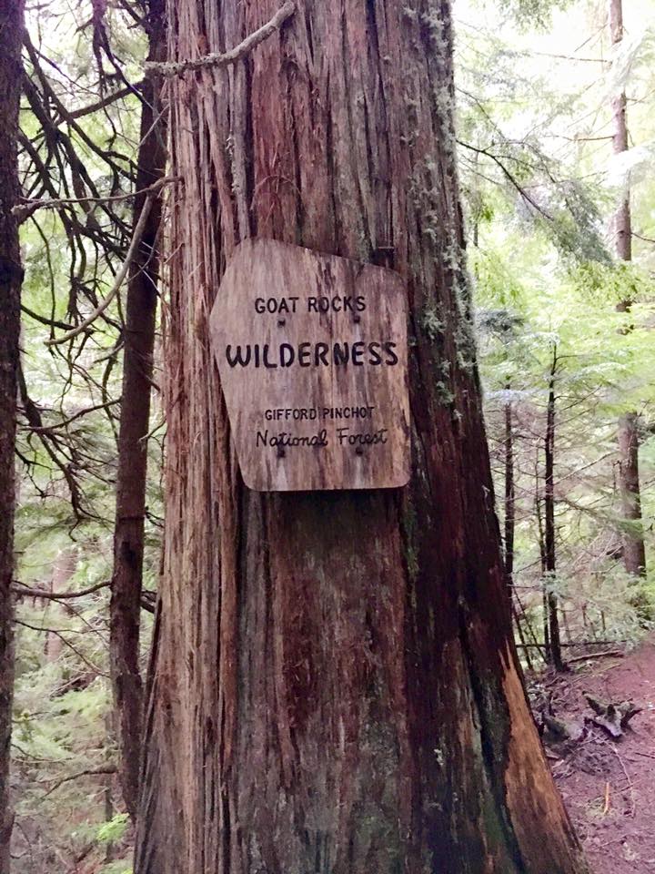
Dates: September 2nd- 5th 2016
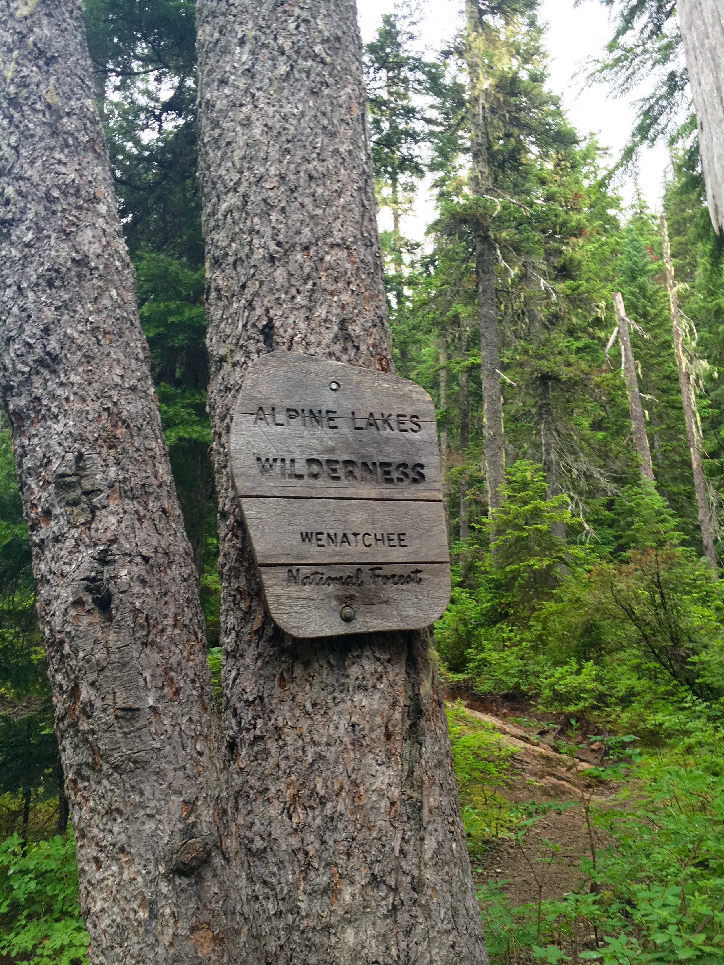
Location: Leavenworth, Washington
Mileage: 20ish, 4600 Elevation gain/ 6000 elevation loss
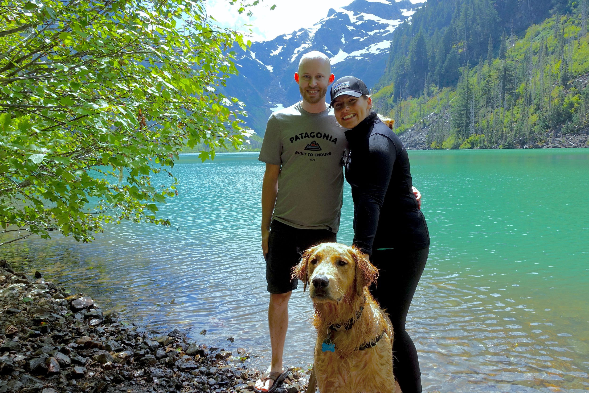
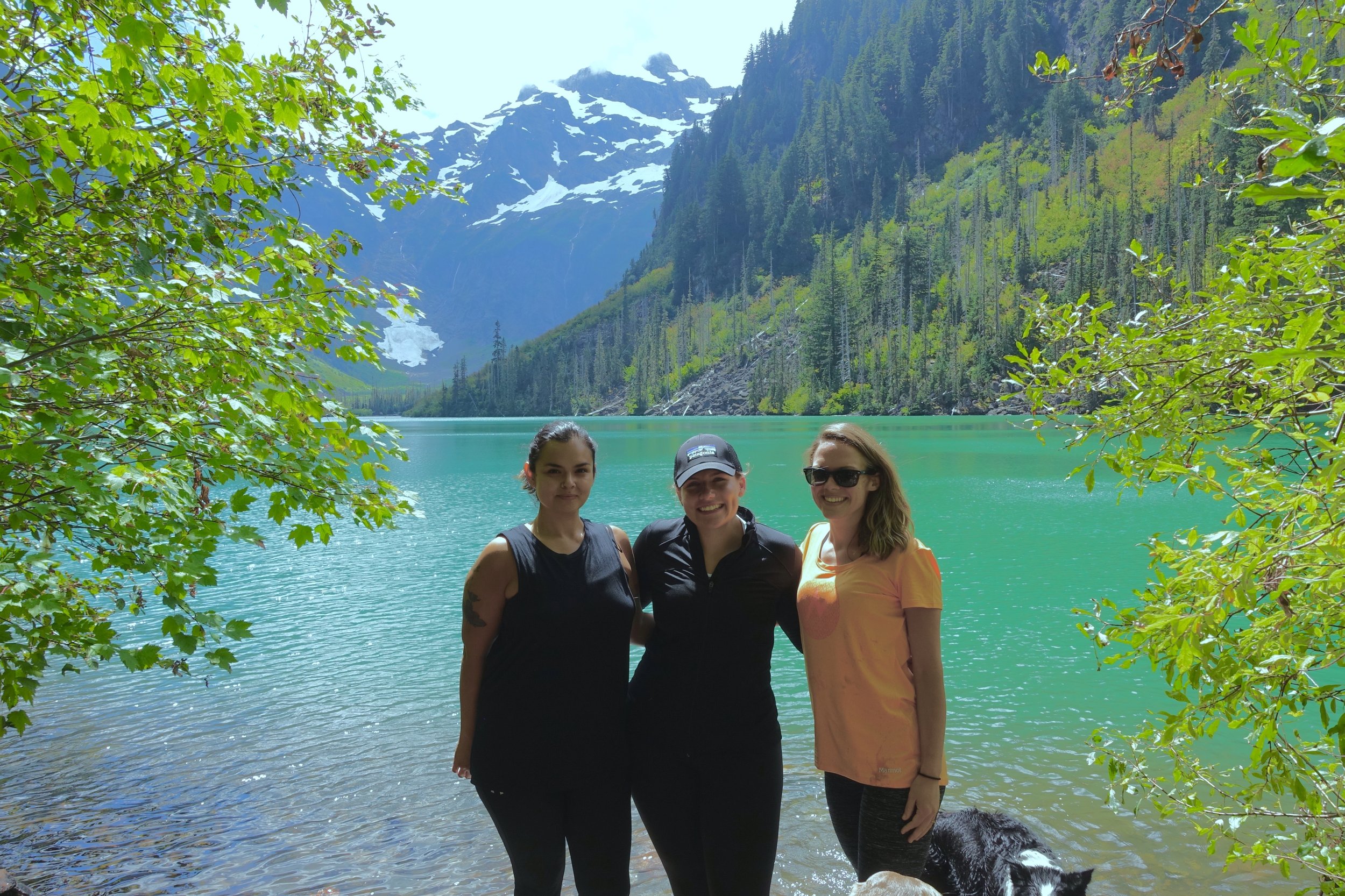
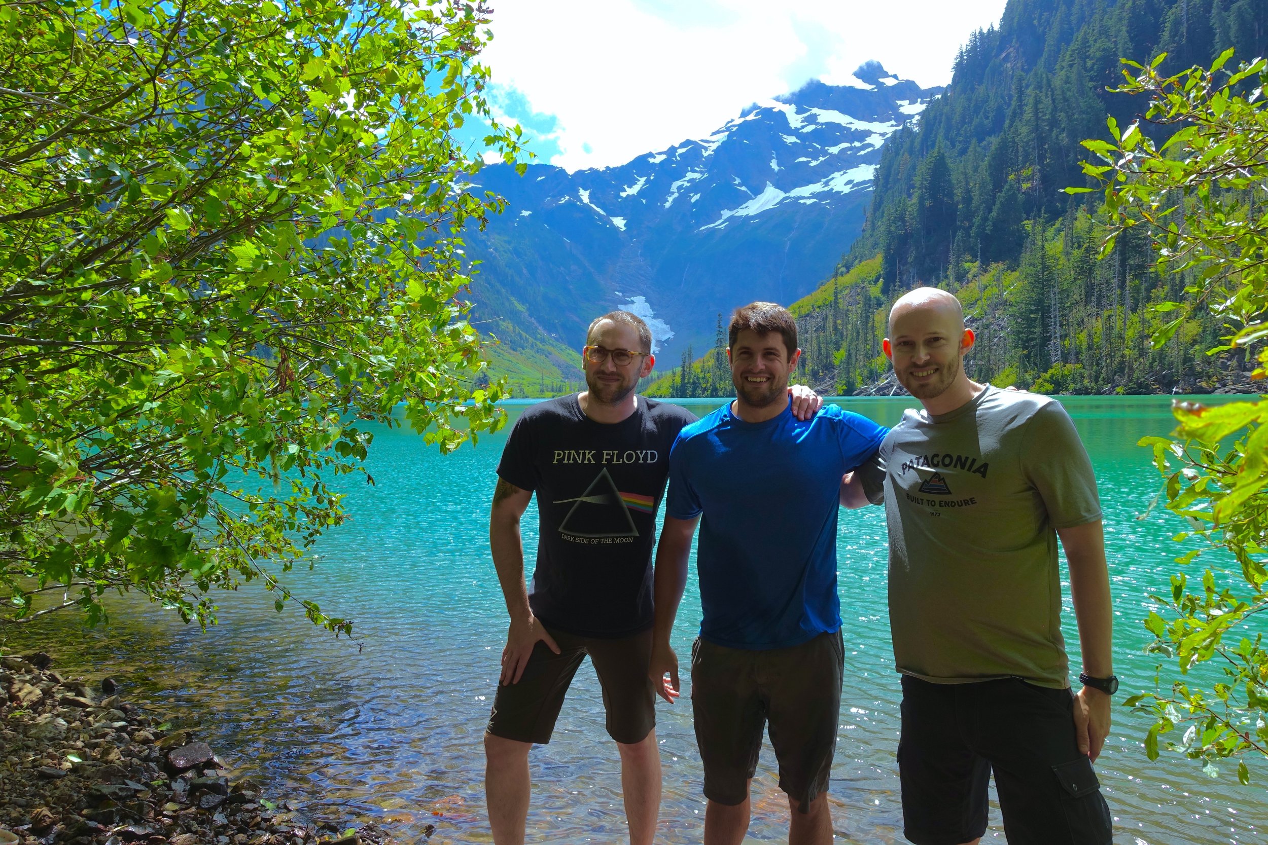
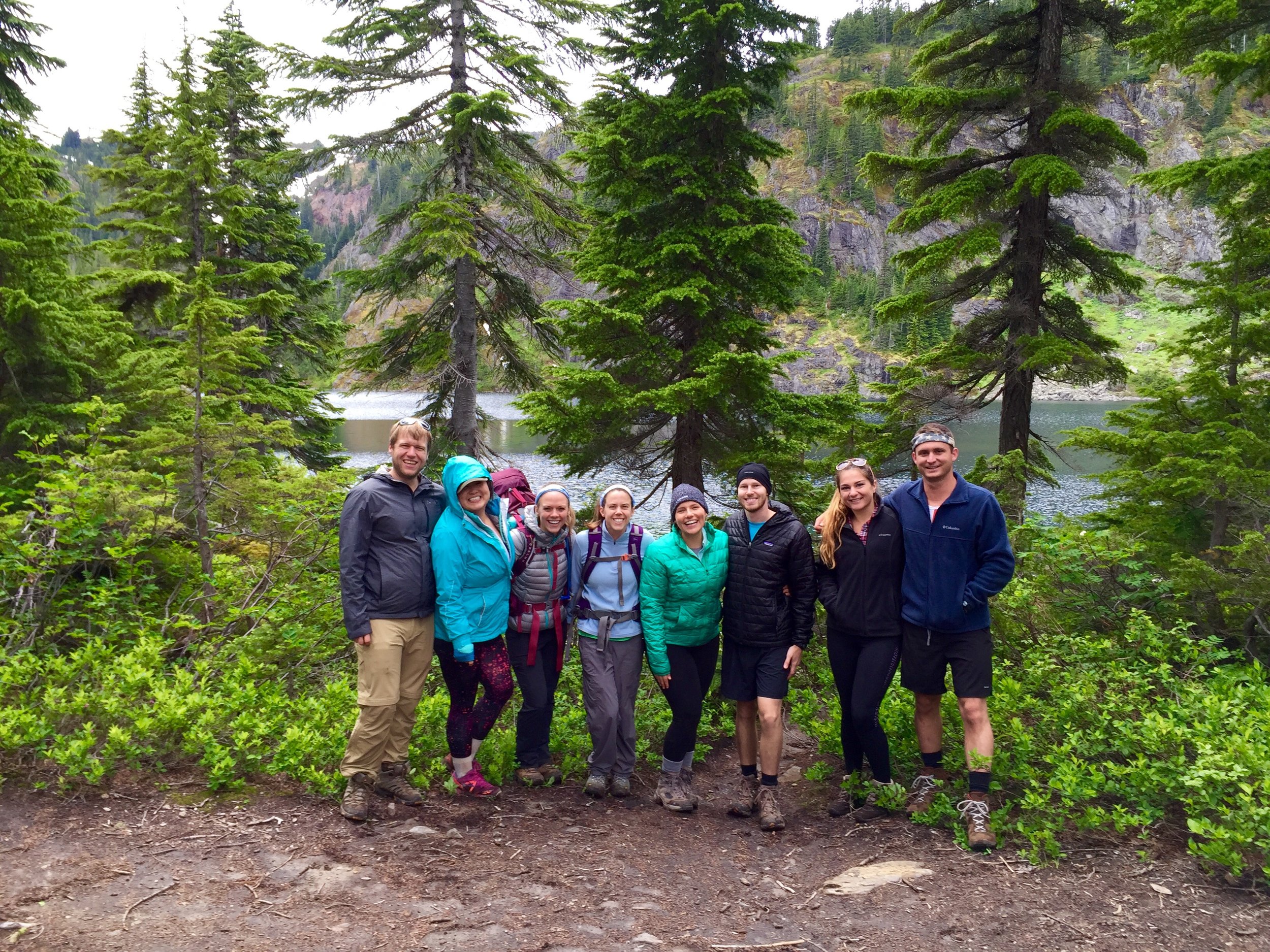
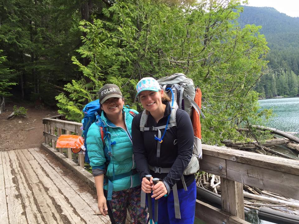
Pre- Enchantments: A lot went into this 4 day/3 night backpacking trip. In February I put in the permit application for the enchantments as I heard everyone talking about it. We had just started getting into hiking at this point and I figured that we would have to try for many years to get a permit. A month later on a Sunday evening the lottery was drawn and we hit the jackpot somehow. We scored CORE zone permits (the best) starting on a Saturday during Labor day weekend. How we got that I still don't know. I later read that they only give 6 core permits out a day. You are allowed to have a group of 8 for each permit so I worked on getting a group together. My husband Ryan would go (impending work approved, and it did), invited my friend Doris and talked to a few out of town friends that were interested in going. Months later the final group would be a college friend of mine (Chrissy + fiance Scott), Doris and her boyfriend Cody and a newer friend, Hillary.
At the time we won the permits we had no backpacking gear. We ended up using our tax refund to basically get most of it and started on our first trip a month later (Ancient Lakes). Over the summer we would go on more trips to get in shape for the enchantments and learn the ways of backpacking and all that it entailed. So happy I had Doris to help me along the way with this as a total newb.
Gear list for the enchantments along with new gear bought:
- pack- Osprey 65L, still loving this pack!
- pack rain cover (ended up using this a couple times)
- hiking poles
- tent (love, love, love our Big Agnes Copper Spur UL 3)
- sleeping bag ( I have a mummy Marmot down sleeping bag and hate the mummy style so much. Maybe before next season will get a quilt style one instead)
- sleeping pad (really happy with our insulated Klymit sleeping pads keeping us warm)
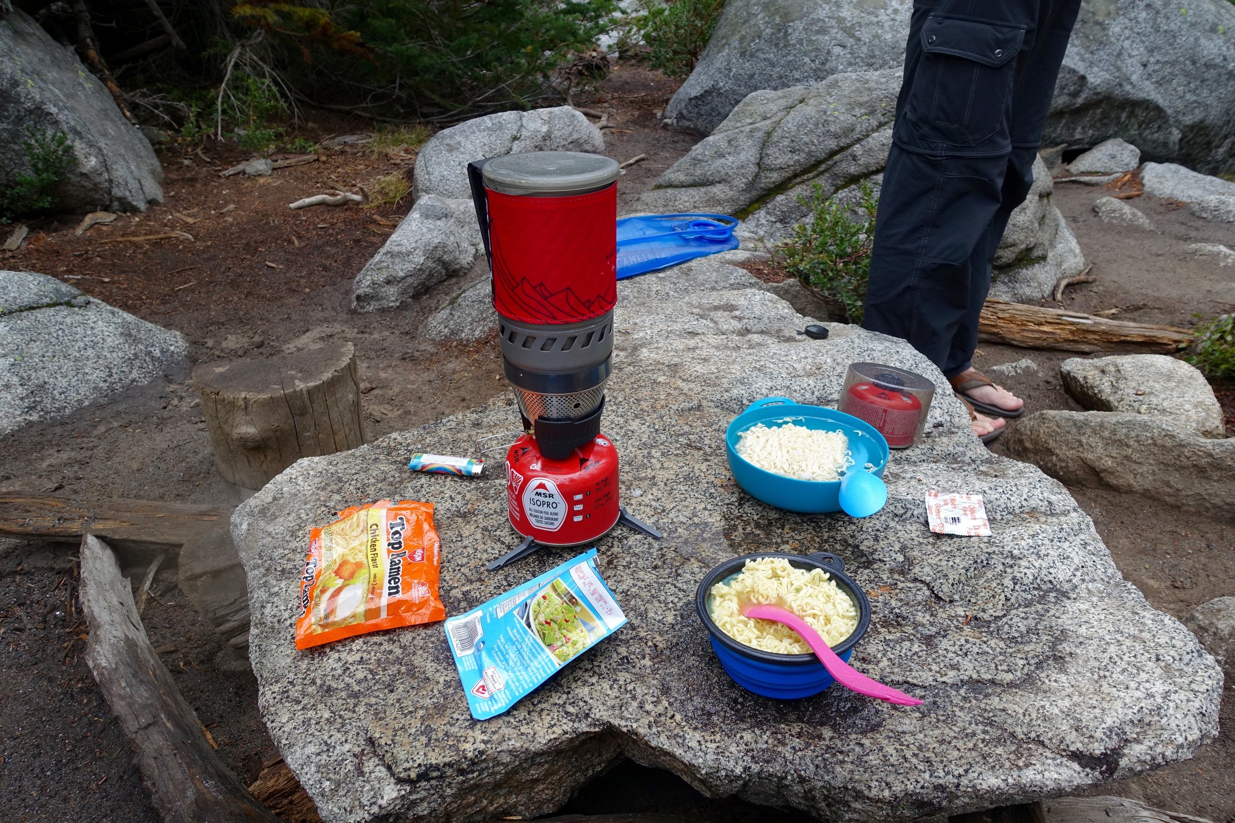
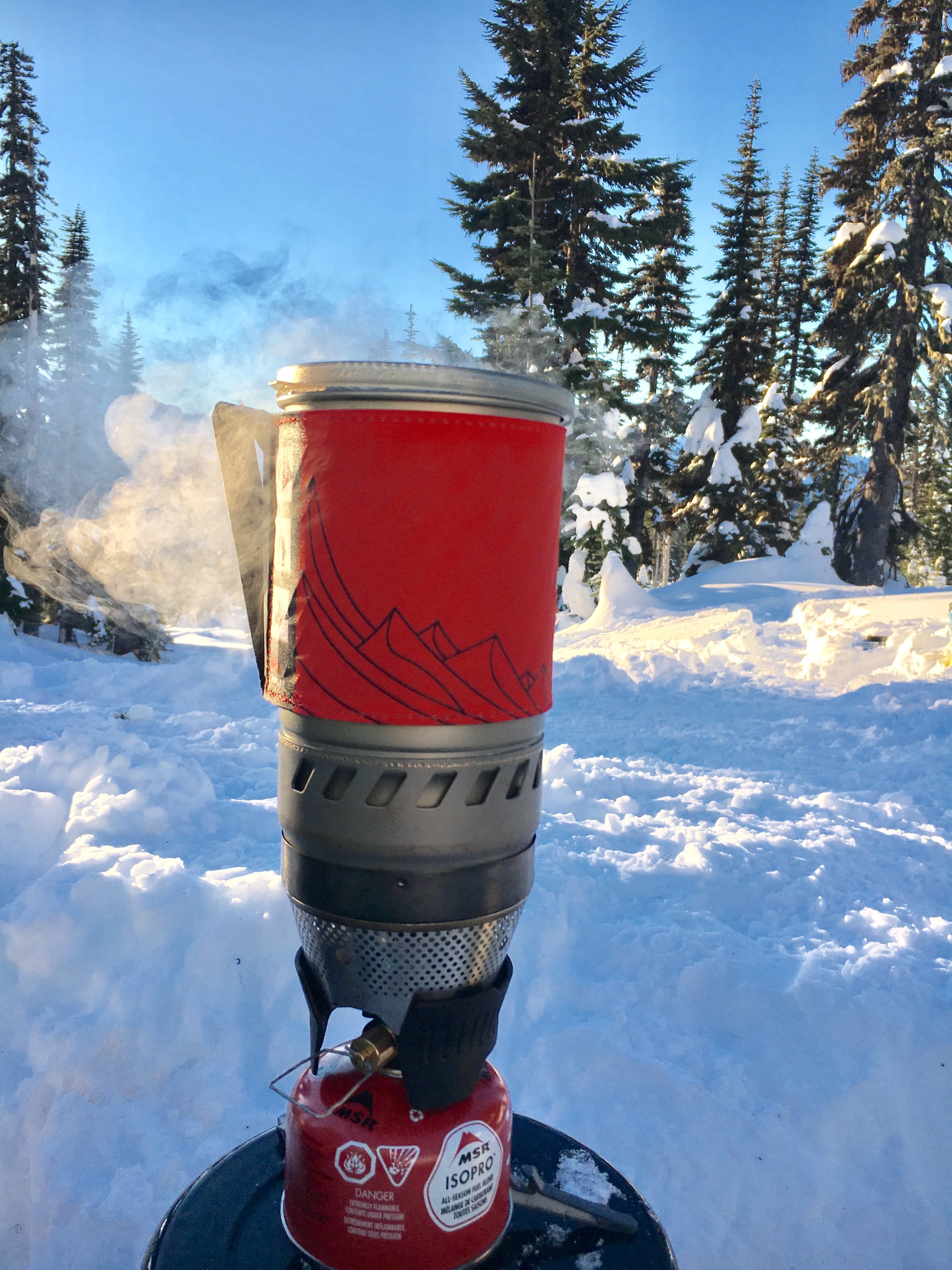
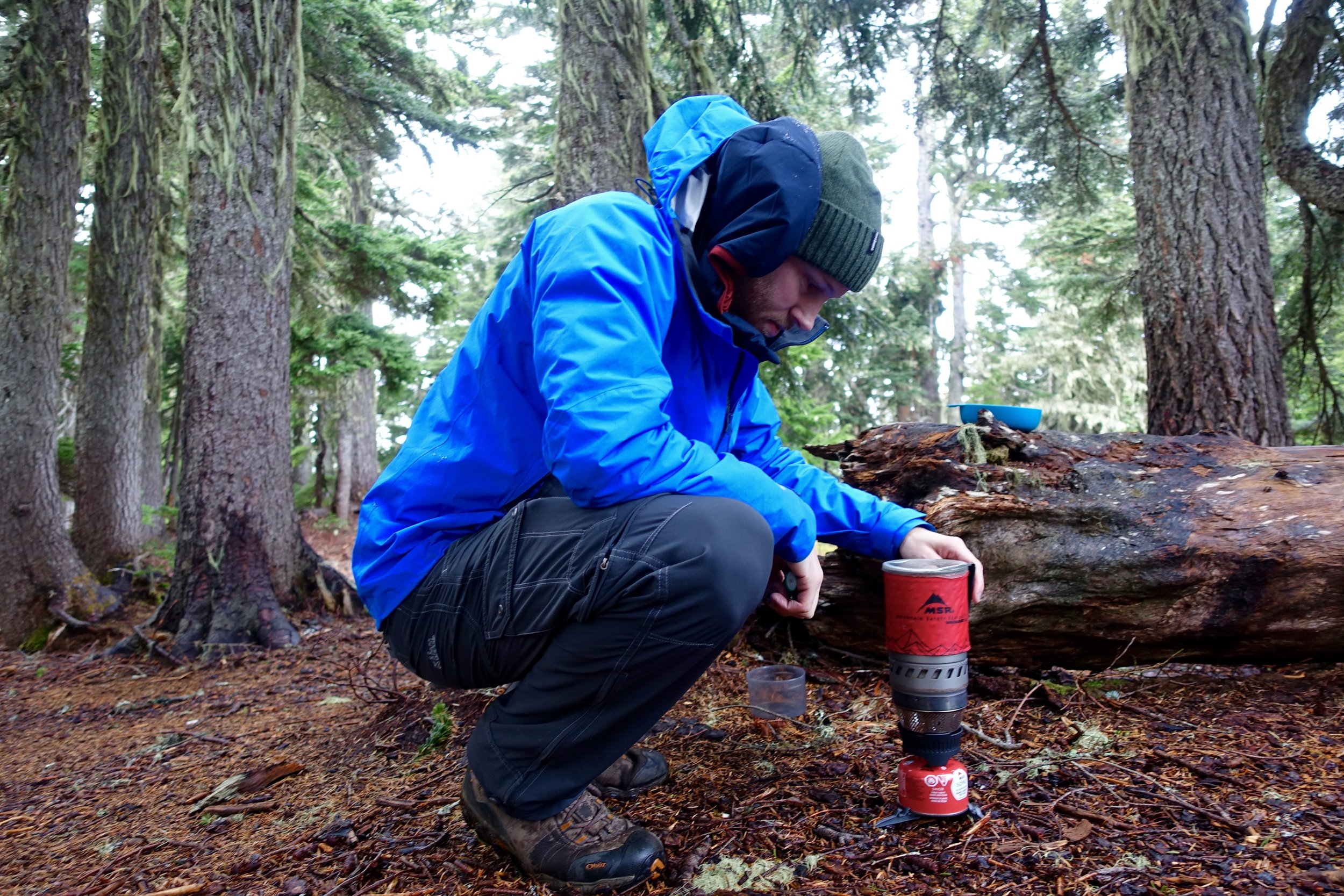
- stove/fuel (the MSR Windburner has been one of my favorite things. Super reliable and so fast to boil water)
- sunscreen
- bug spray (didn't end up having bad bugs on this trip)
- sunglasses
- 2 athletic pants
- 2 sports bras
- 1 Patagonia mid layer
- 1 set long underwear ( just bought my first pair before the trip- REI's new midlayer long underwear. Overall very happy with it!)
- down puffer
- rain coat
- 3 underwear
- 2 pairs socks
- camp sandals
- baseball hat
- warm hat
- gloves
- headlamp/ extra batteries
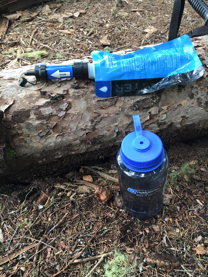
- water filter (We are using the sawyer mini now. Chrissy and Scott had the Steripen UV water filter which is just a pen thing you swirl in the water for a little bit and it is purified. So crazy. Definitely getting this before next season.)
- camelback
- platypus 2 liter bag
- toilet paper
- hand sanitizer
- toothbrush
- deodorant
- contacts
- contacts solution
- glasses/case
- wet wipes
- day pack
- mini towels
- multi purpose soap
- first aid kit
- multi tool
- ursack bag (We just bought the critter proof one after much debate if we should get critter or bear proof. In most cases if we have to worry about bears we will be hanging the bag so that a bear can't get it and then it will still be critter proof then. We are happy with it! We ended up bringing my friend's ursack bag as well so we had 2 bags of food.. so. much. food.)
- opsak bag (blocks food odor in ursack bag)
- rope
- 2 flasks
- compression bag ( I just bought my first compression bag as they were on sale at REI. I got it for my clothes and that worked really well for the trip. I don't use one on my sleeping bag right now as it is pretty compact.)
- camera + case + 3 batteries + mini tripod
- go pro
- External battery charger for phone
- ziplocks for trash
- ear plugs
Food (for 2 people):
- 6 dinners (freeze dried meals- had mountain house chicken teriyaki- very good, parmesan noodle one- very good, mac & cheese- not good).
- 8 breakfast (2 oats + almond butter/ 2 eggs + tortillas + hot sauce, first time we had made eggs backpacking. Got the egg crystals instead of freeze dried eggs. These turned out super good. We need to get a pan for our stove.)
- Lunch: 5 ramen, 7 tuna packets, turkey jurkey, crackers, dried fruit, trail mix, peanut butter + tortillas
- 8 instant coffee
- candy (always a top priority)
- electrolyte tabs (nuun)
- eating utensil
- mug
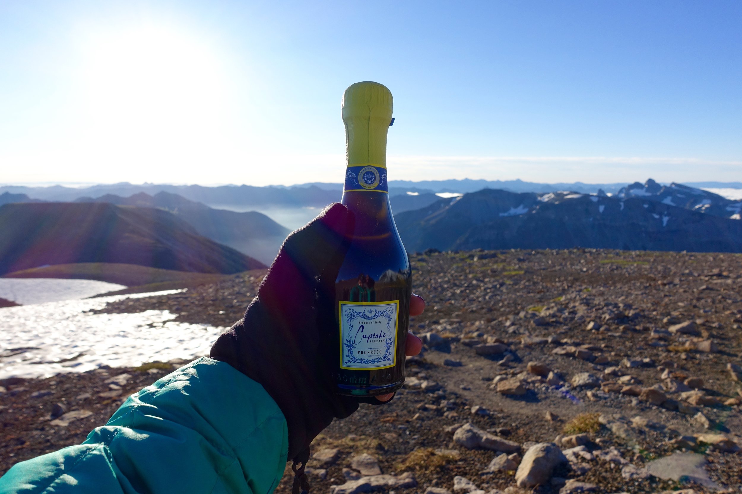
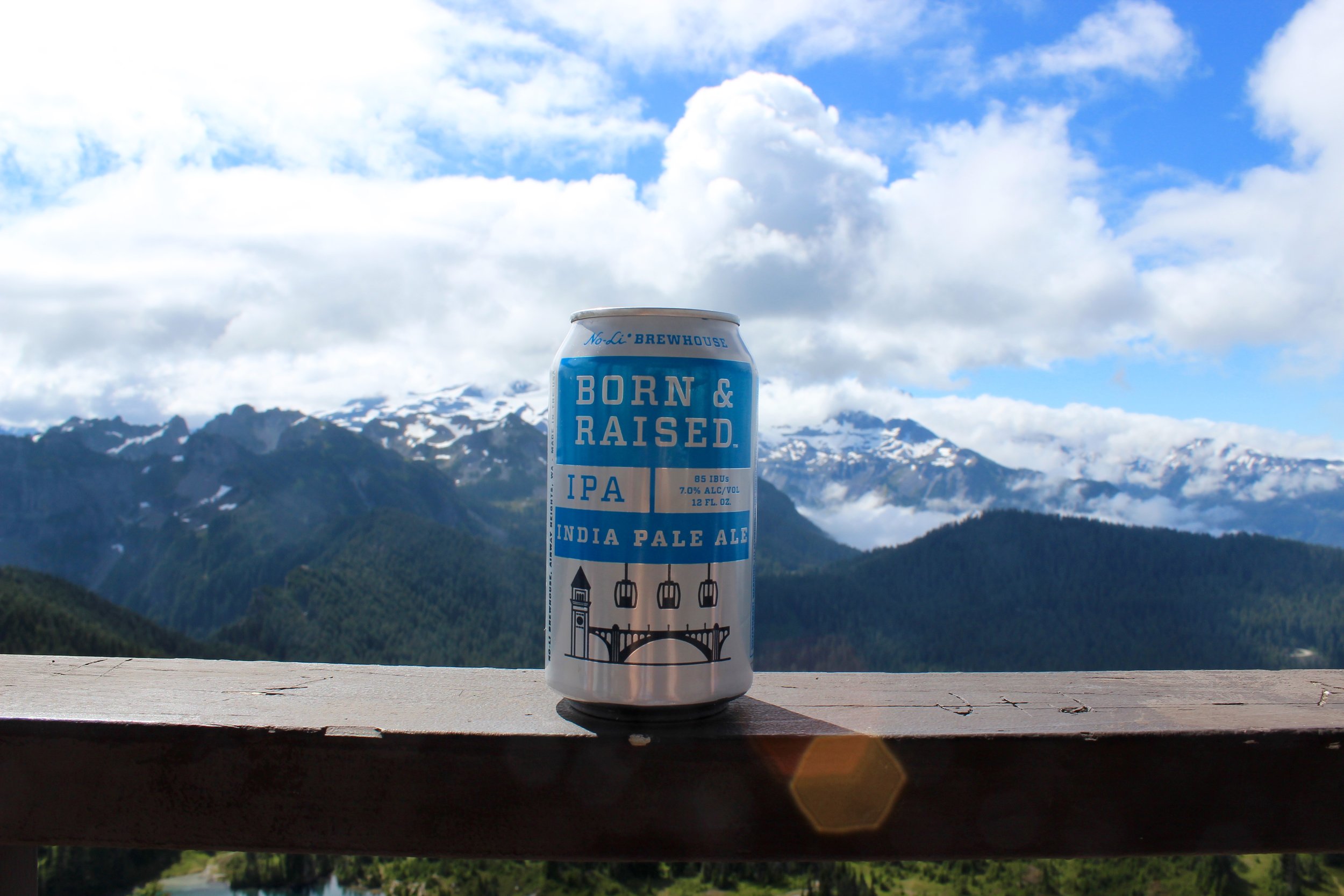
- whiskey (always bring more than you think you will need)
- collapsable bowl
- apple cider packets
Group:
- bear spray (thanks Hillary!)
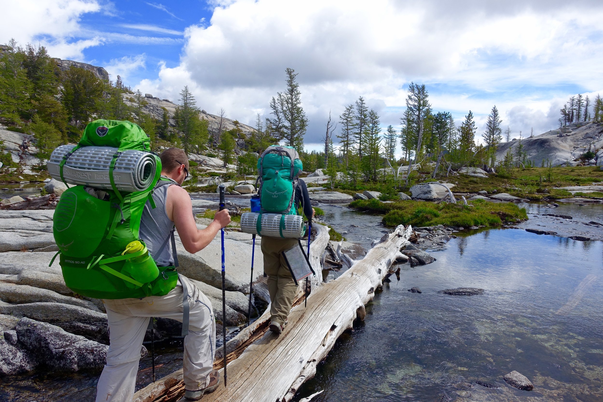
- paper map (wasn't going to bring one with our hiking app we have but Chrissy and Scott wanted to and it ended up being super useful)
- compass
- milk jug bucket (Friend Caitlin gave us this idea, cut off the top of a gallon milk jug and use it to carry water. We used this so much!)
It was definitely a process getting down this list and I used more experienced friends to cross check it and tell me what I need/ didn't need. I cut out things like a swim suit, extra clothes, hammock and things that just weren't necessary. I weighed my pack before we left and I had all the food (which was something like 20 pounds I swear..) + 2L of water and it came out to be about 43 pounds. The heaviest yet. After the 2nd day Ryan and I split up the food but my pack was still probably 38 pounds or so for the rest of the trip.
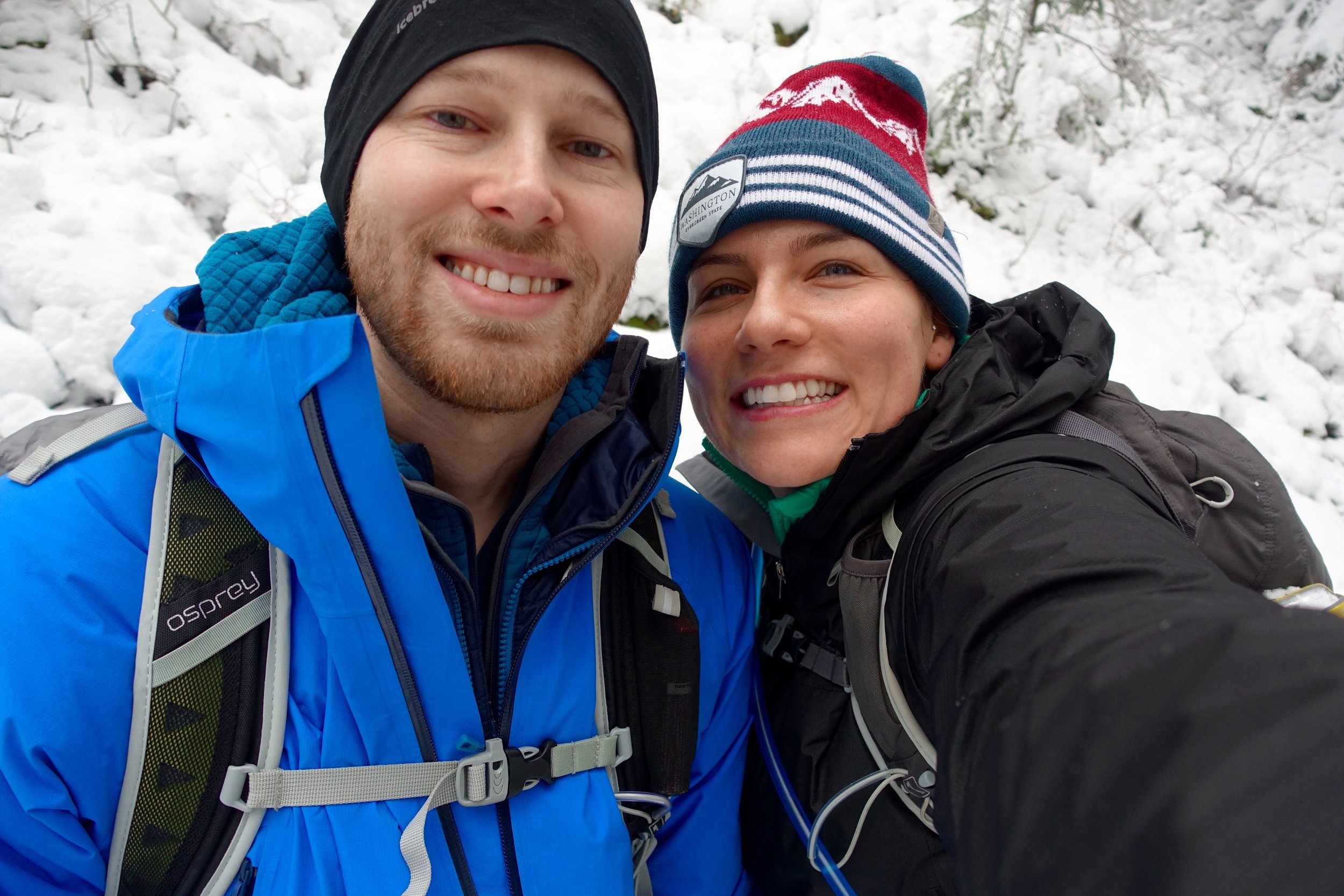
It was the day before the trip and we were crazy excited. Chrissy and Scott flew in that Friday mid-day and I picked them up from the airport, did a last minute gear check, dropped the dog off at boarding and prepared all finishing touches for our adventure. Doris and Cody took half days and made their way out to Leavenworth a bit earlier in hopes of snagging a walk up camp site (which is mostly all they have near the enchantments). It was around 6 and I still hadn't heard from them and was getting a bit nervous that they didn't find anything. I get a call around then with Doris saying "do you want to good news or the bad news first?" They ended up getting a spot...but it was the very last campground with the very last spot...and it was at a horse campground. Basically if someone with a horse were to show up we could get kicked out but that was unlikely. We had a spot to stay for the night and that was all that mattered. The 4 of us left Seattle around 6:30 and made the 3 hour drive to our camp spot. We had to go up some rough roads to get there but finally arrived. Ryan and I decided to sleep in the back of the outback for the first time to avoid having to set up and take down the tent. Got awful sleep that night (as I usually do outside).
Day 1:
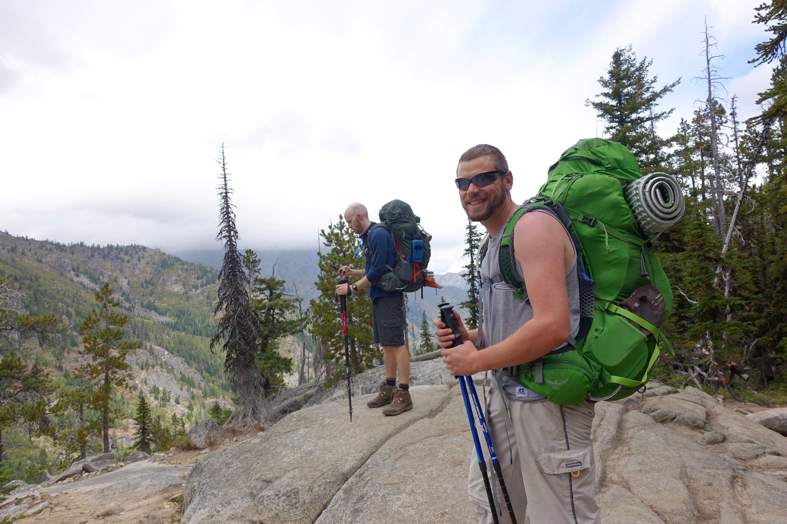
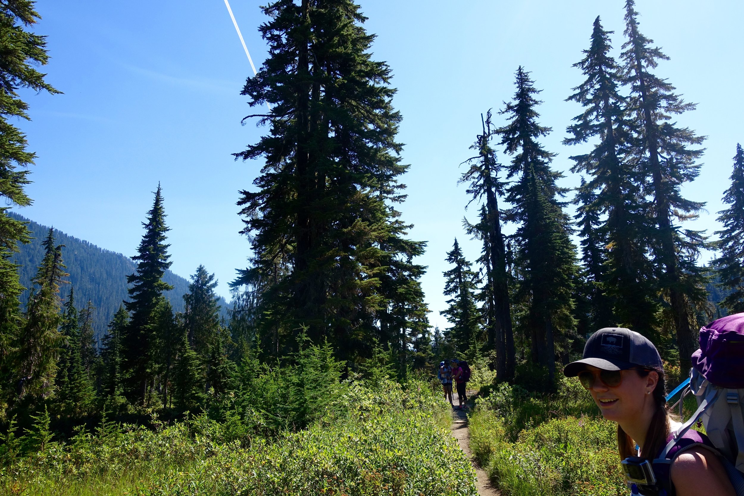
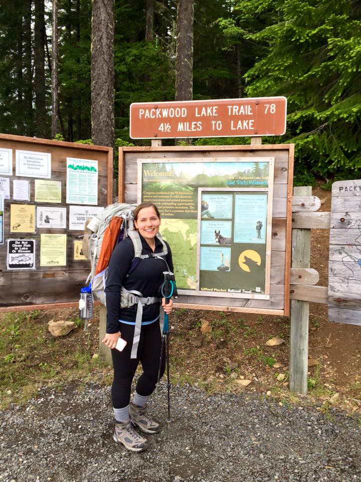
We woke up early to pack up camp and head out. Our goal was to be at the Stuart Lake trailhead at 7:30, but ended up being there at about 7:50. Once the 6 of us got there we dropped off Chrissy and Scott to hold down a parking spot (there was about 2 left in the parking lot at this time) and then brought 2 cars over to the Snow Lakes trailhead to leave one there for when we would exit on that side. We then drove back to the other trailhead and got everything ready to go. It is about a 20 minute drive between each trailhead. We made coffee and oatmeal at the trailhead now and then secured the cars, took pre hiking photos and made our way out. 
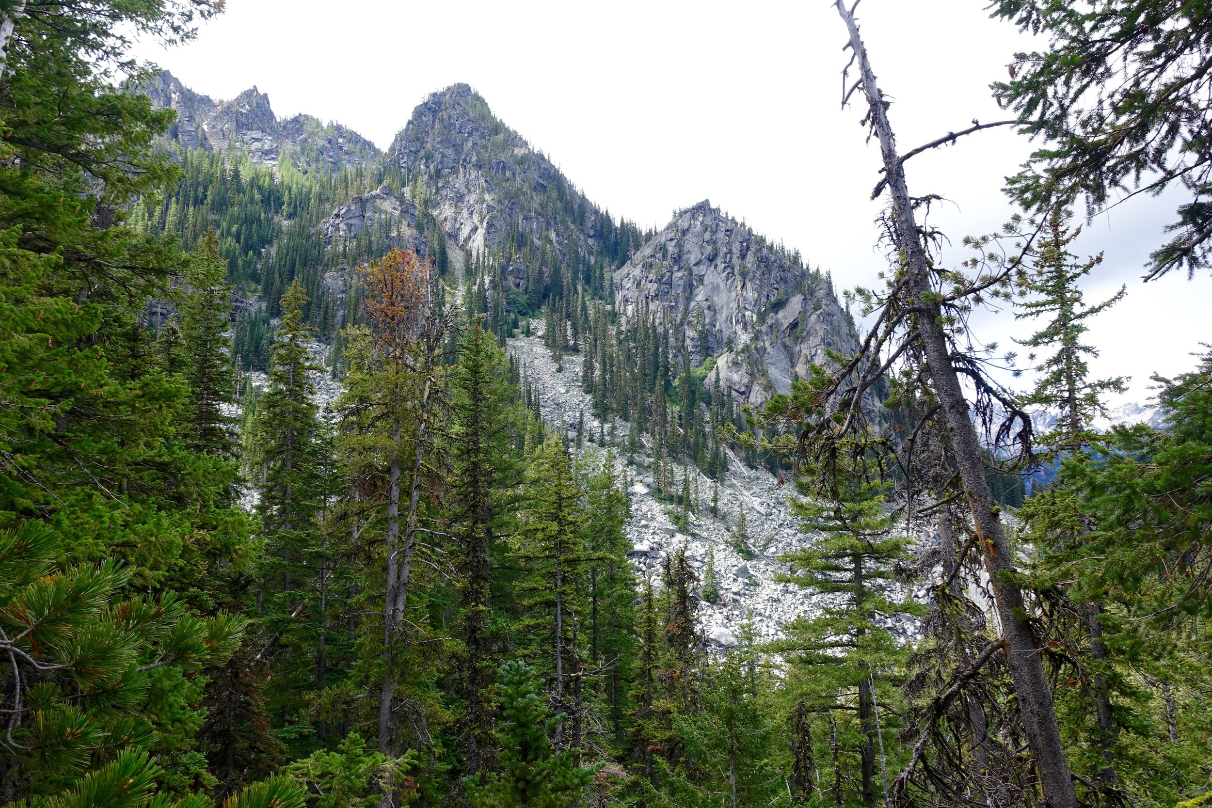
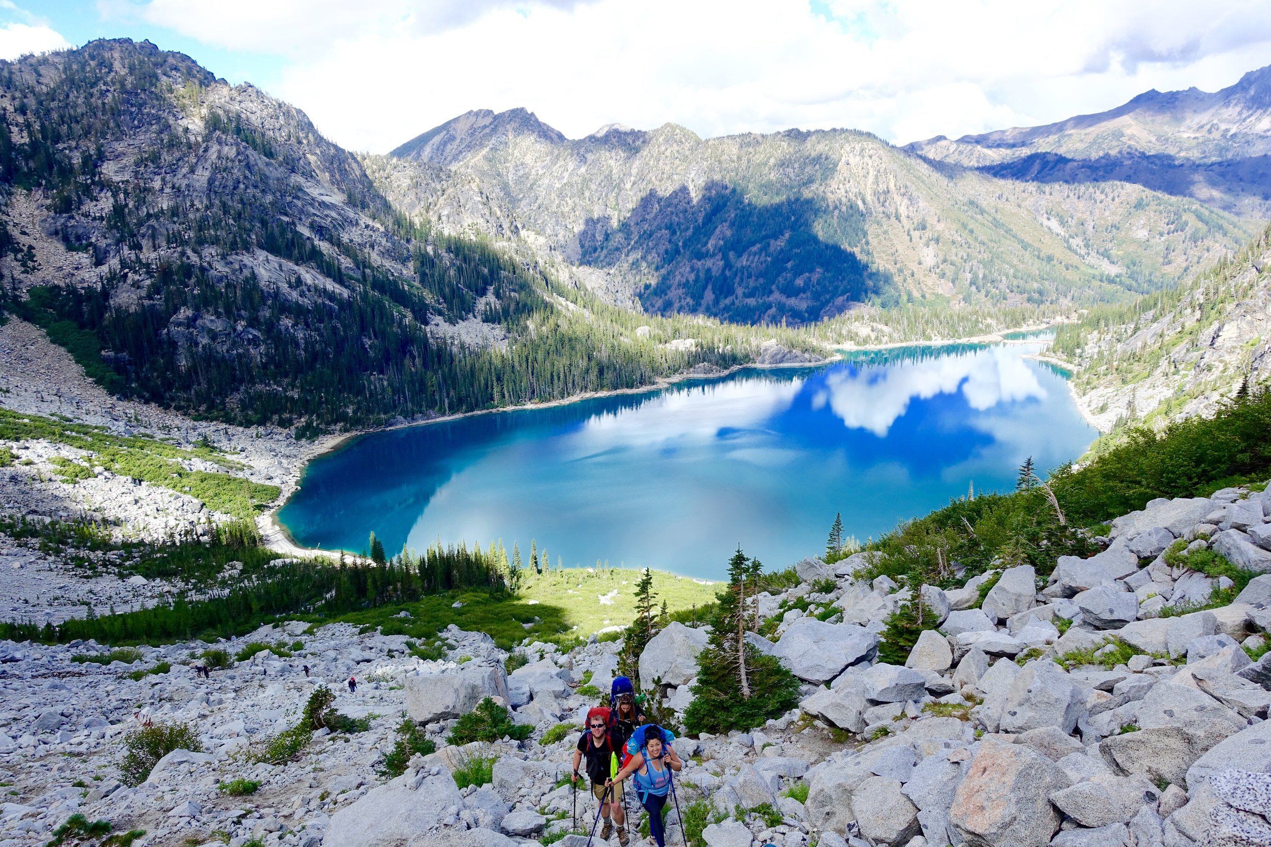
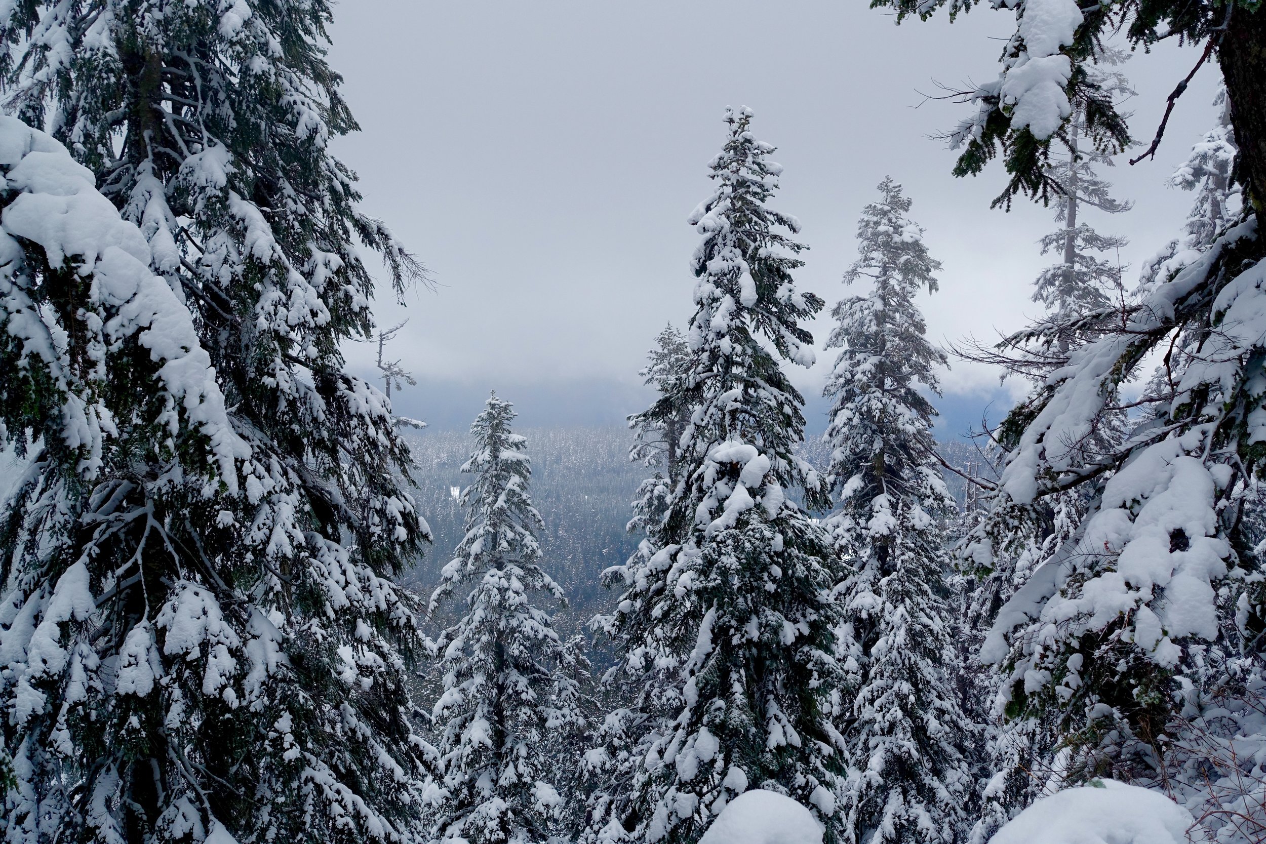
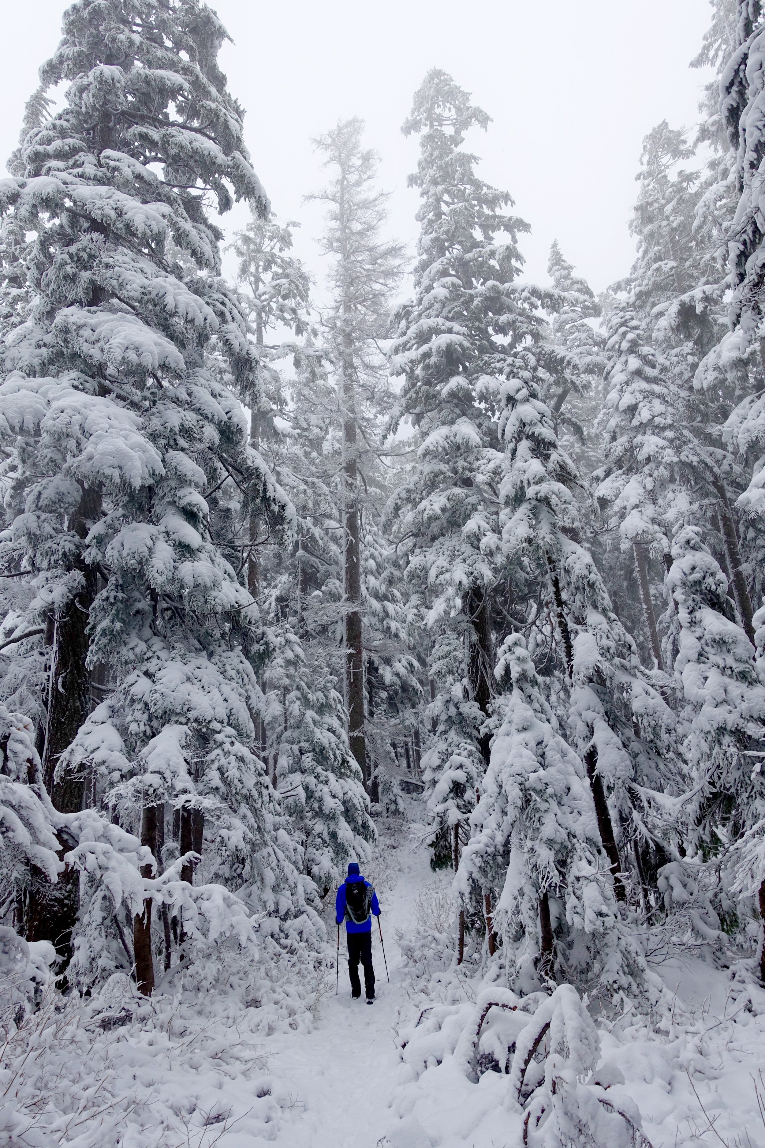
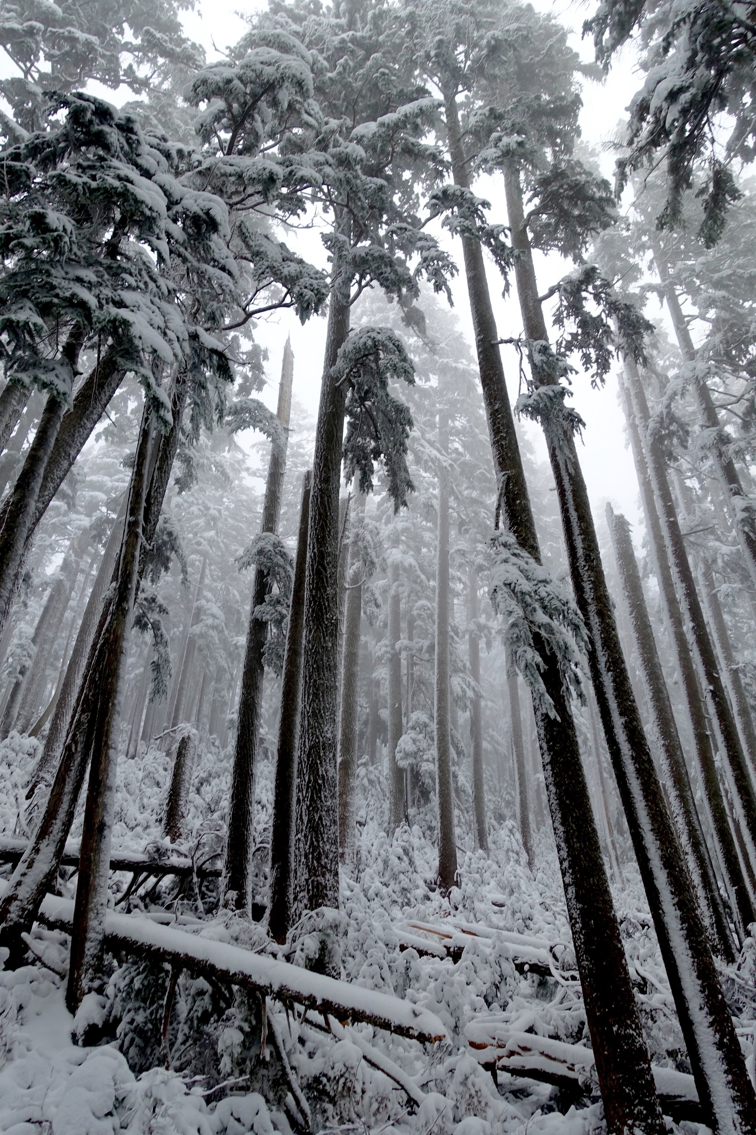
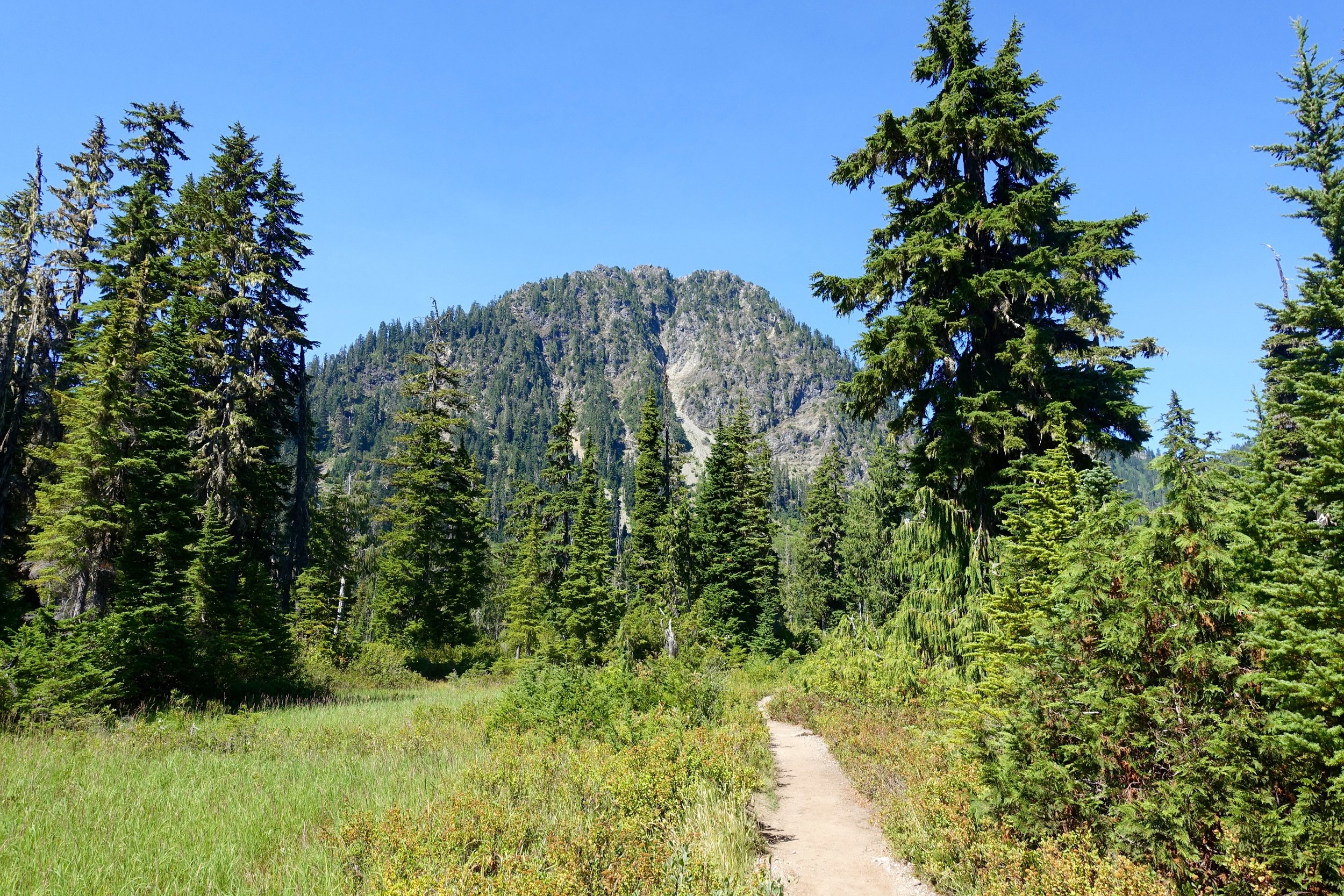
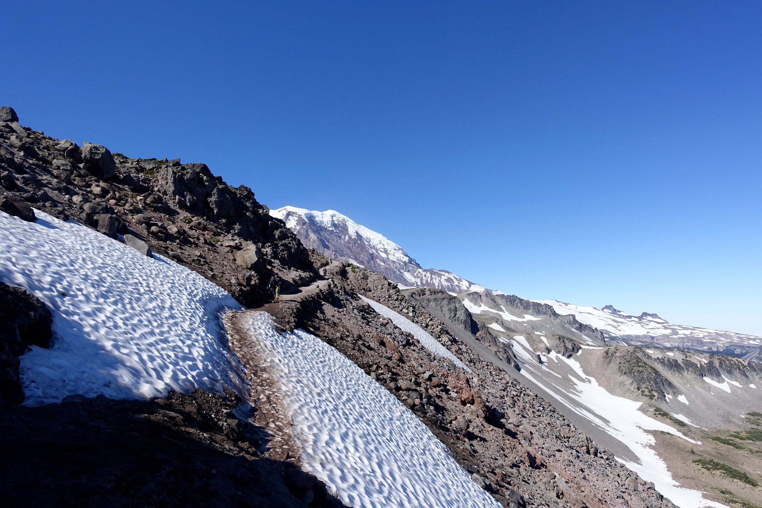
We started on the trail about 9:40 or so and it took us about 3 hours, if I can recall. The climb to Colchuck is not an easy 4 miles up with 2,280 elevation gain + 40 pound packs. We took it slow up that climb. Towards the end it started raining a bit and we had to don our rain coats and rain covers for our packs.
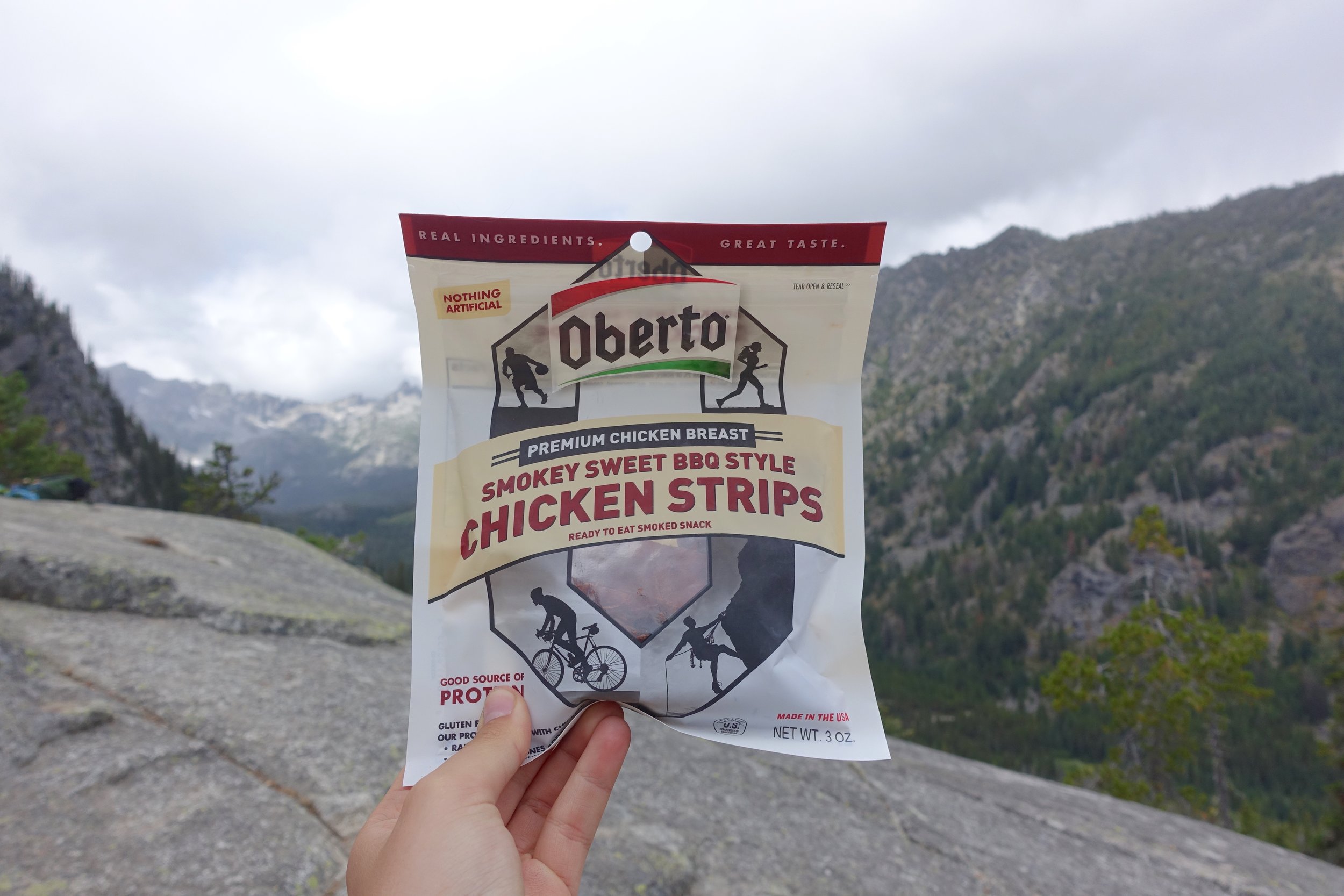
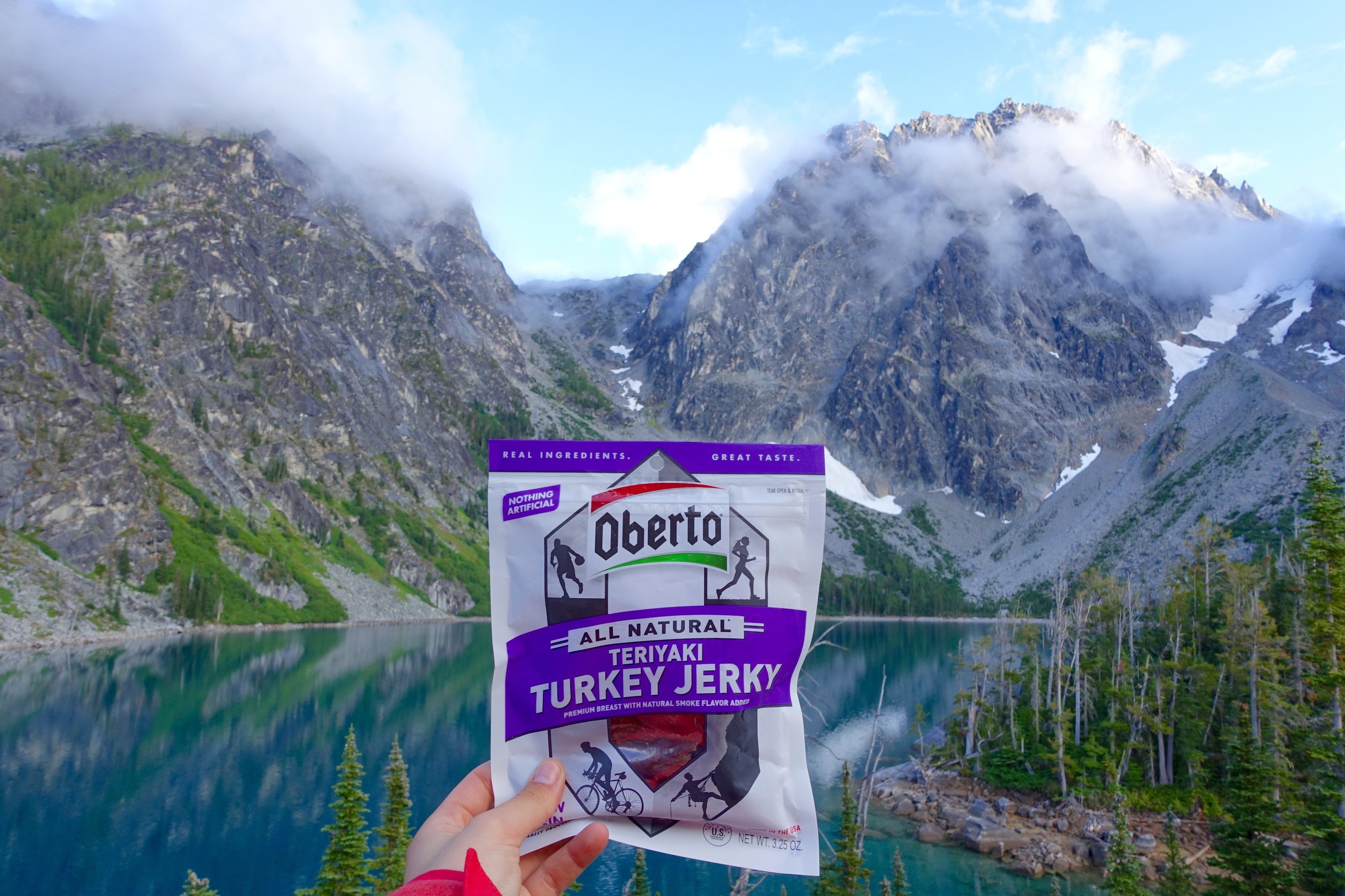
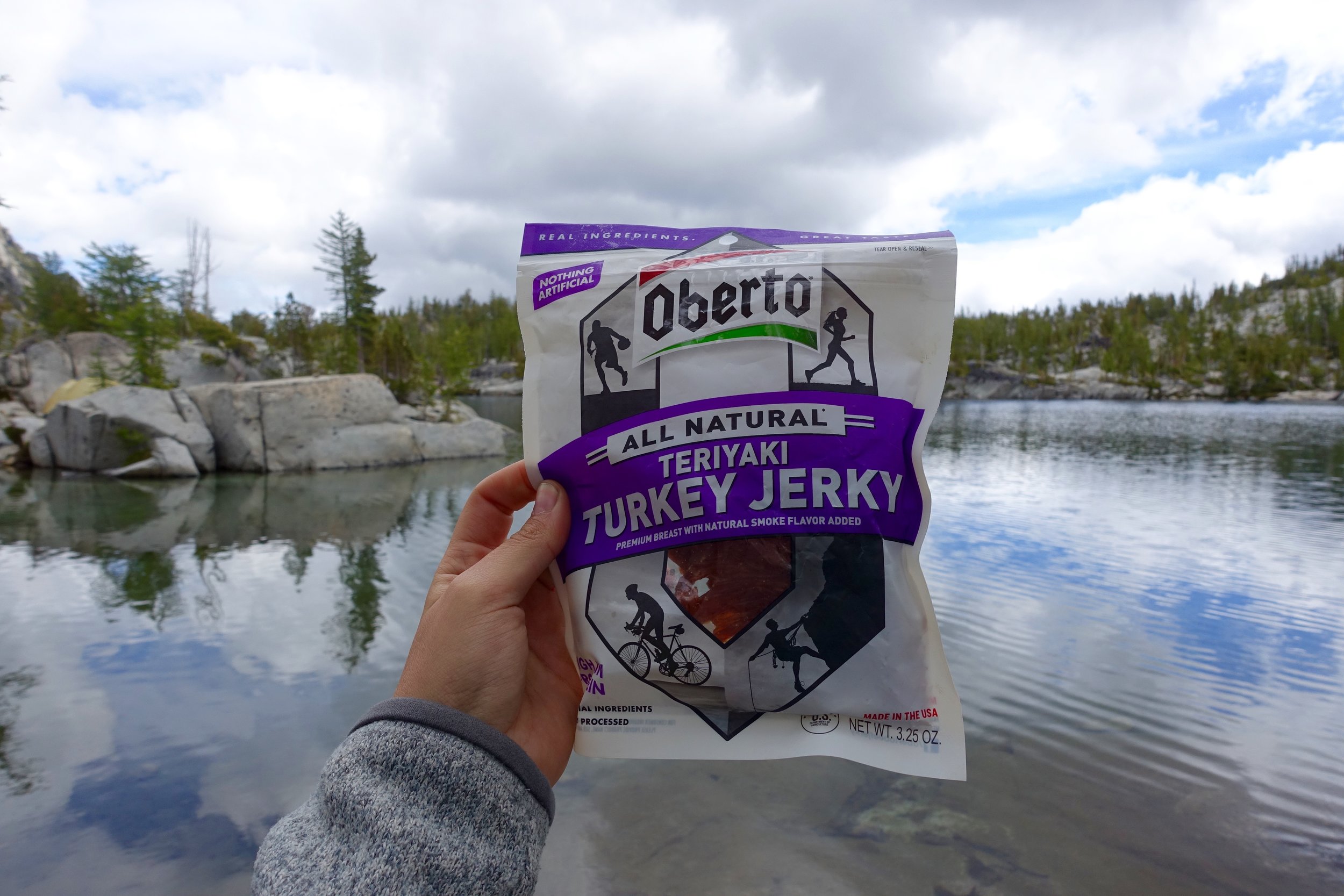
Also, Oberto asked me to be a brand ambassador for them and I basically said "hell yes, I love jerky." Promoting a local company with good ingredients is A+ in my book.
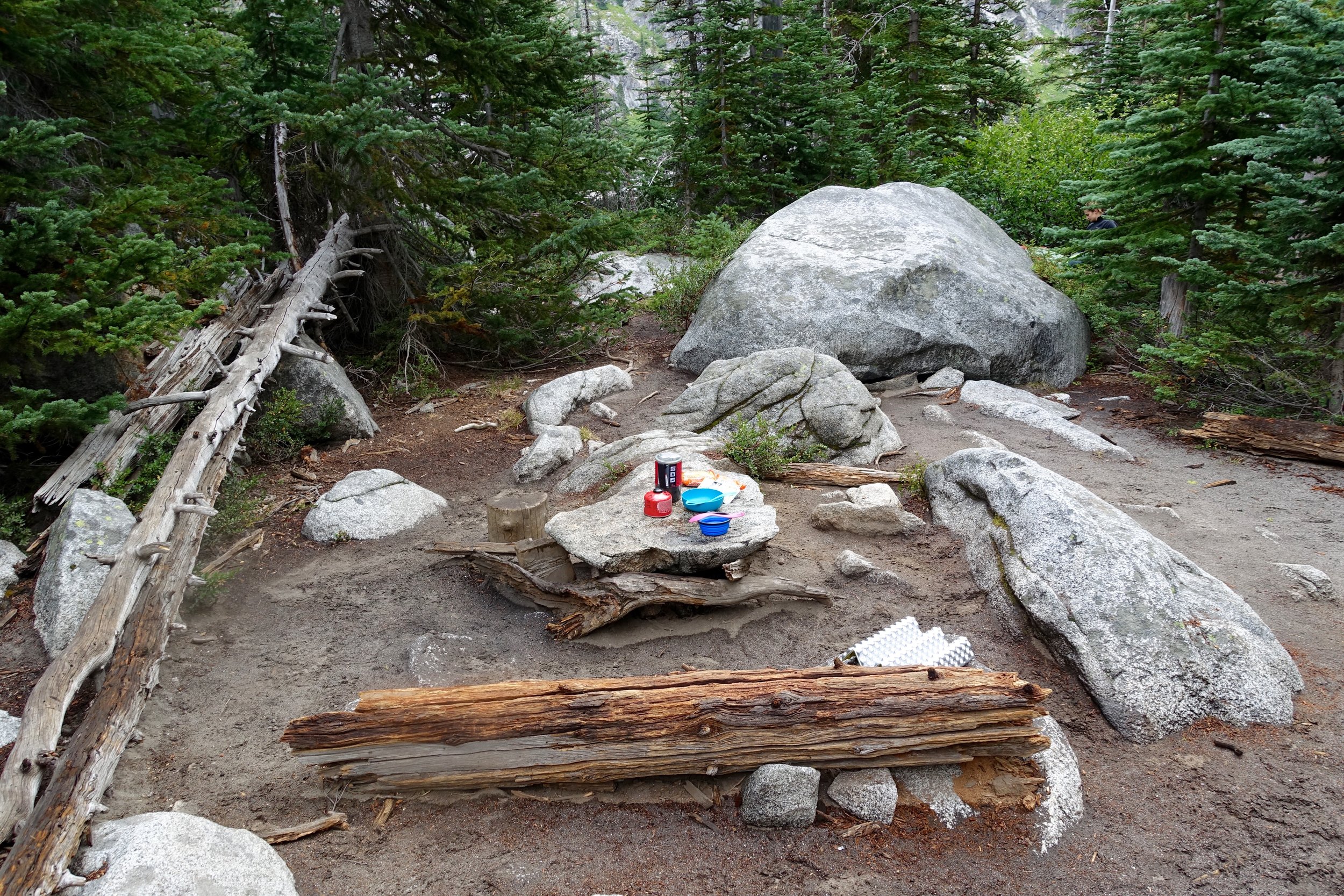
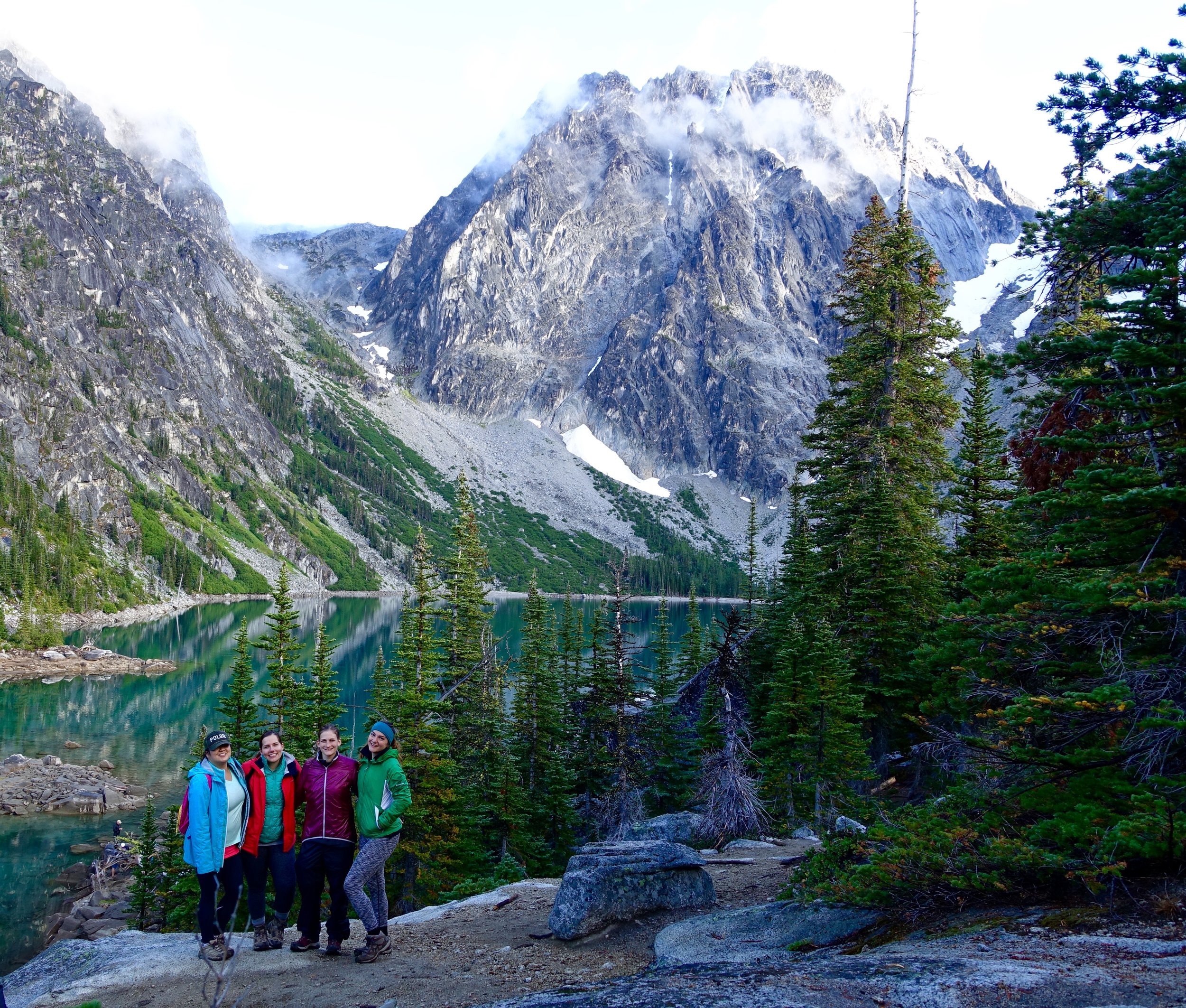
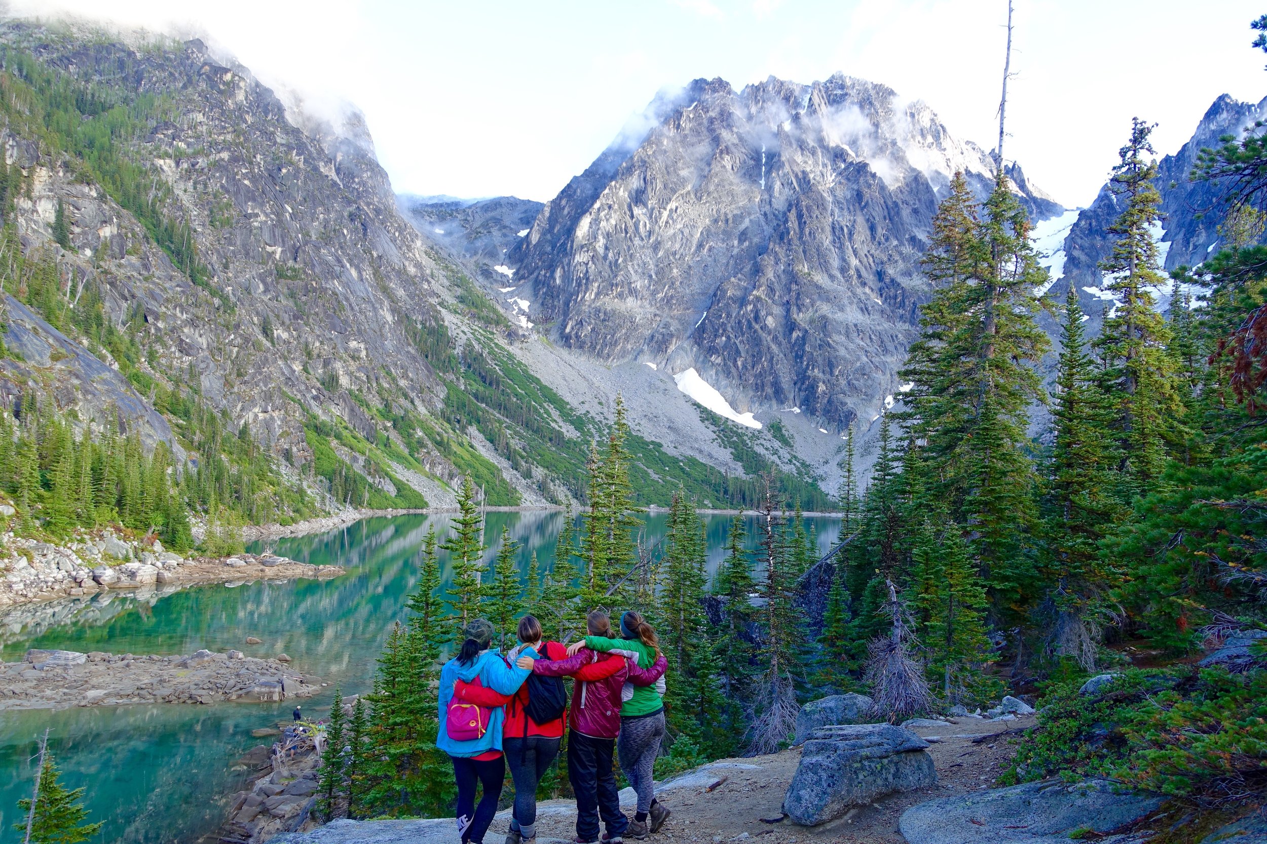
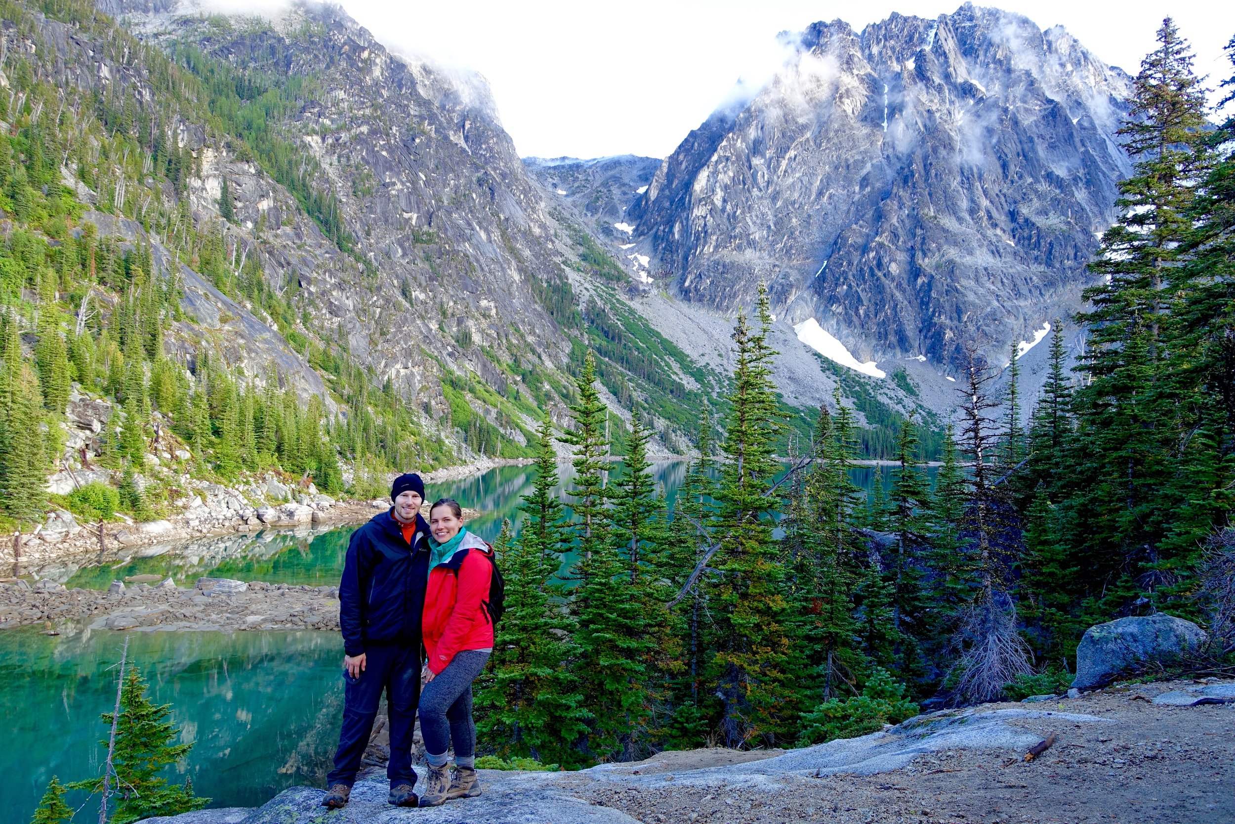
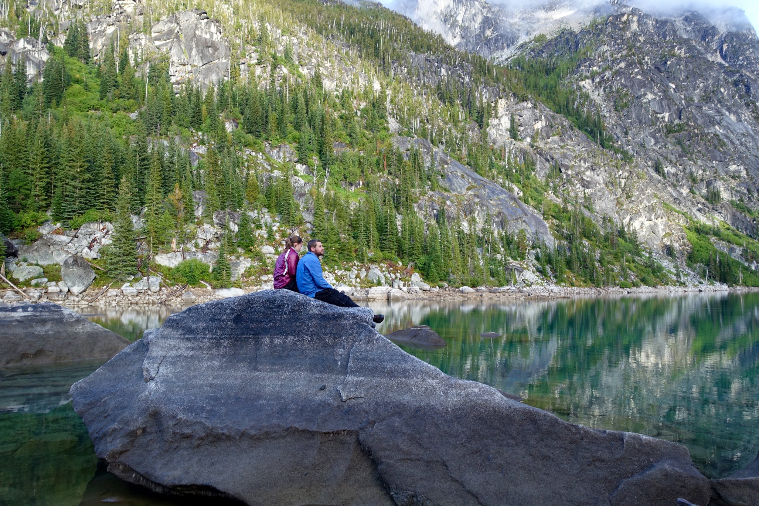
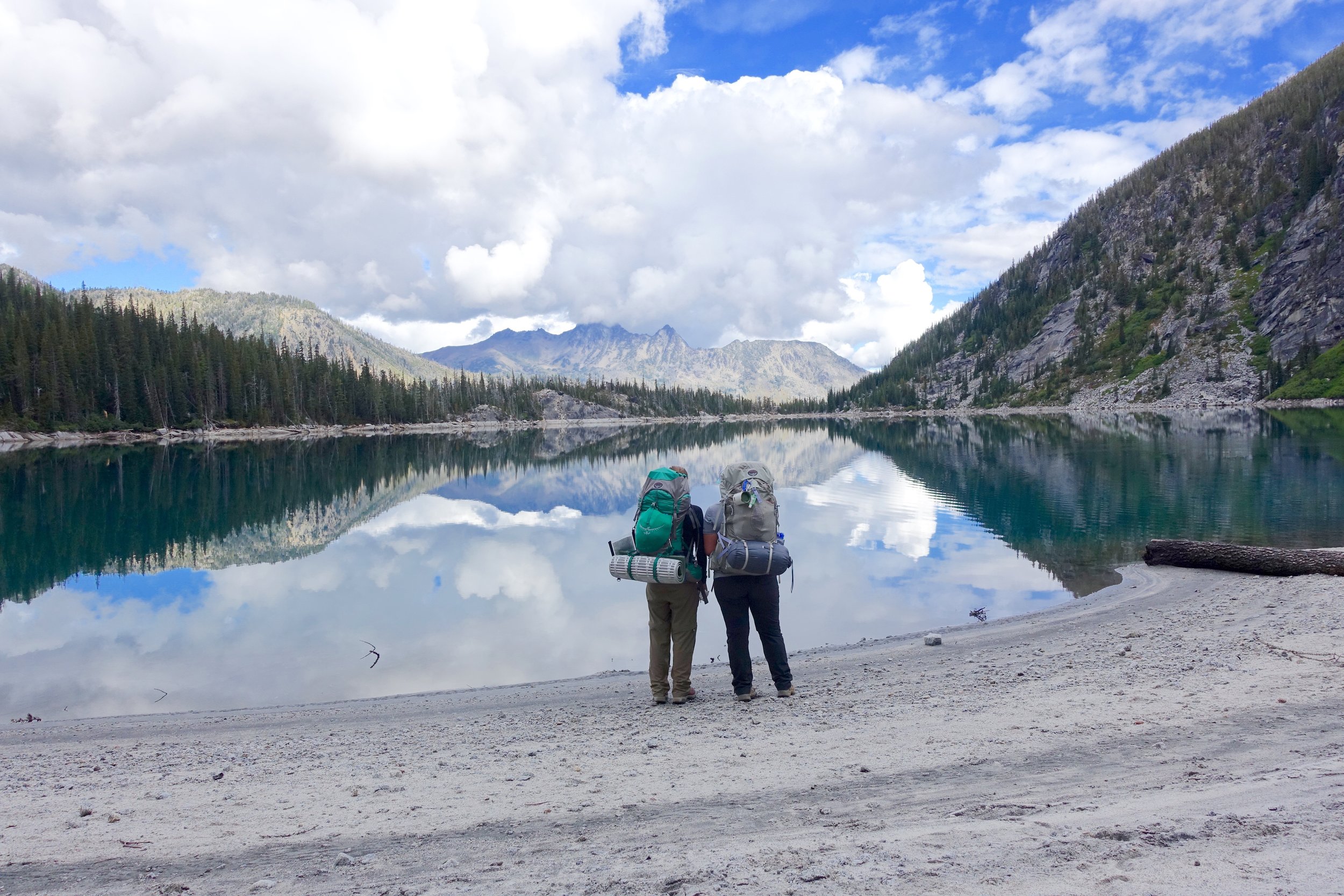
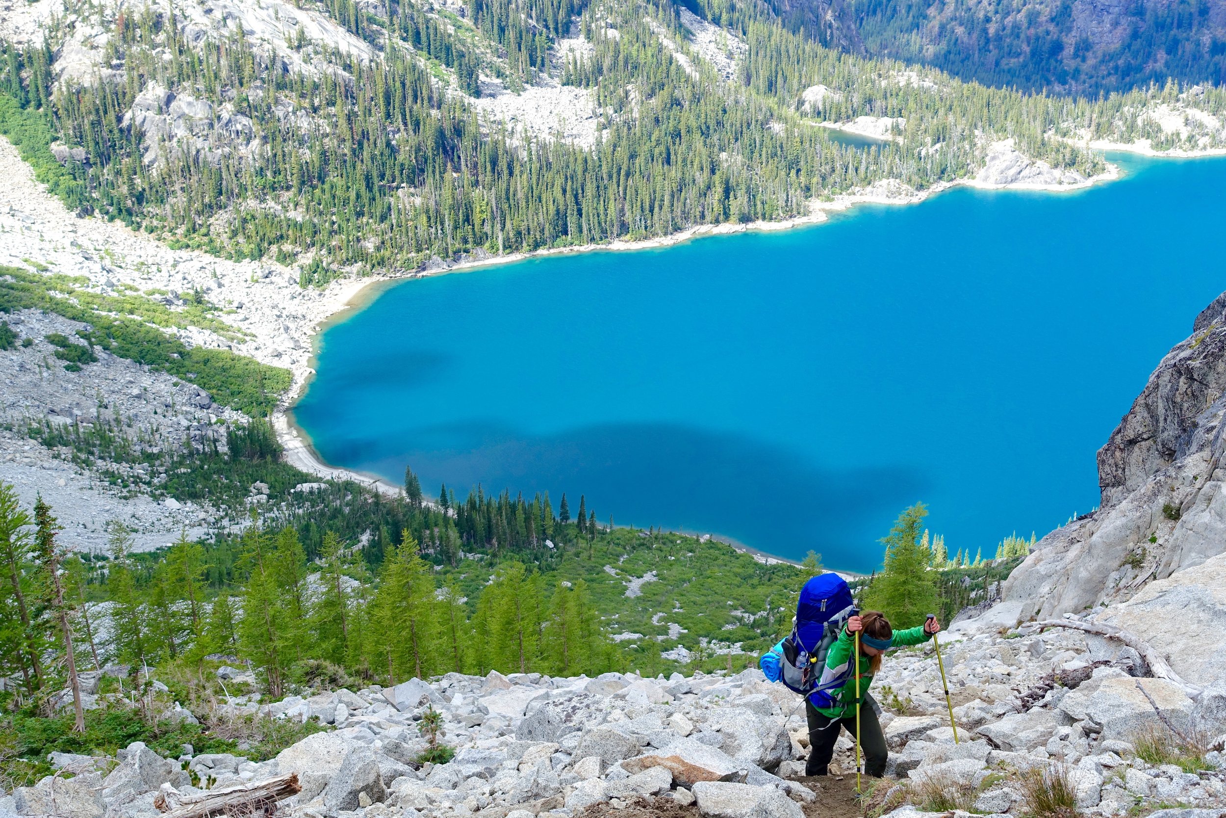
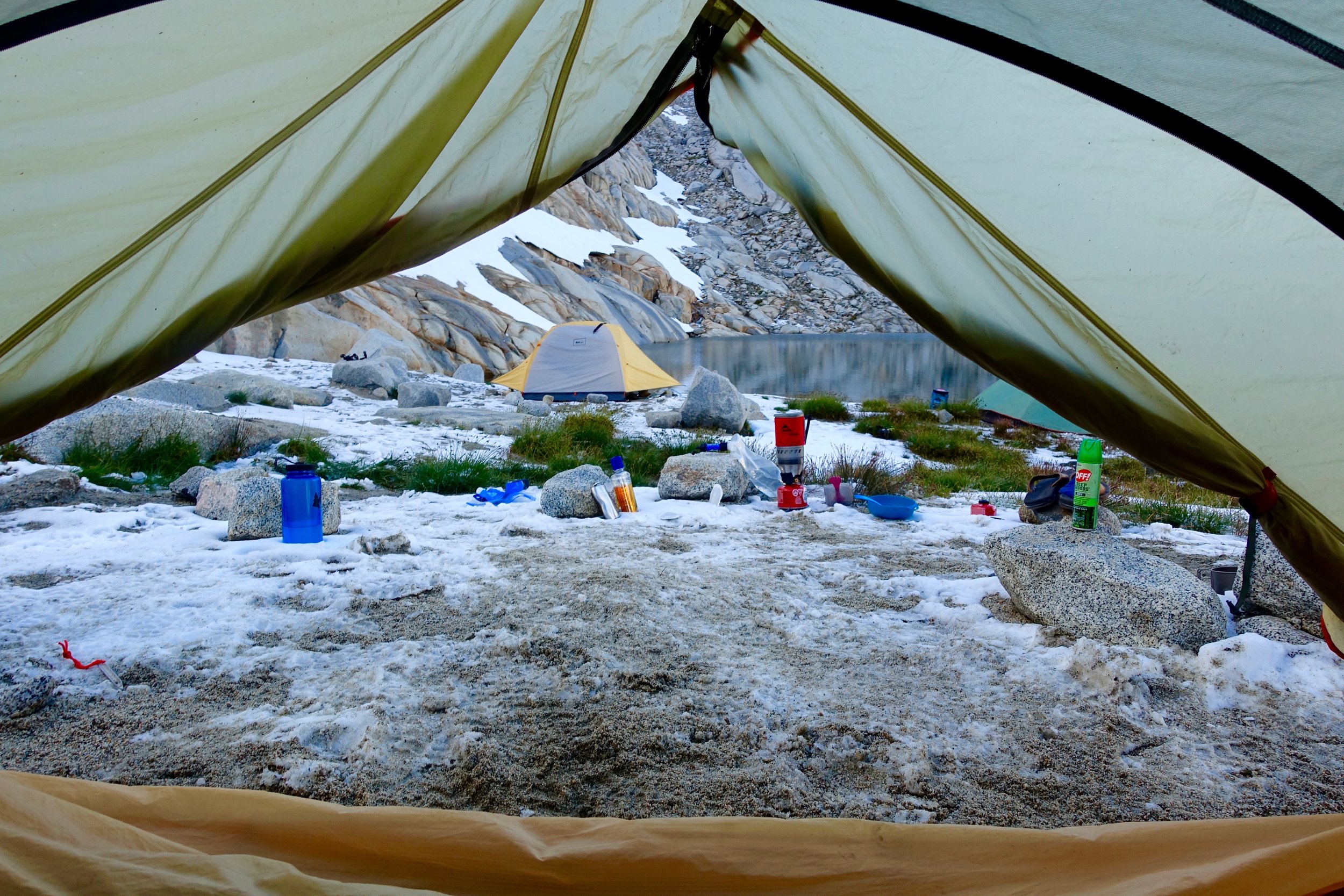
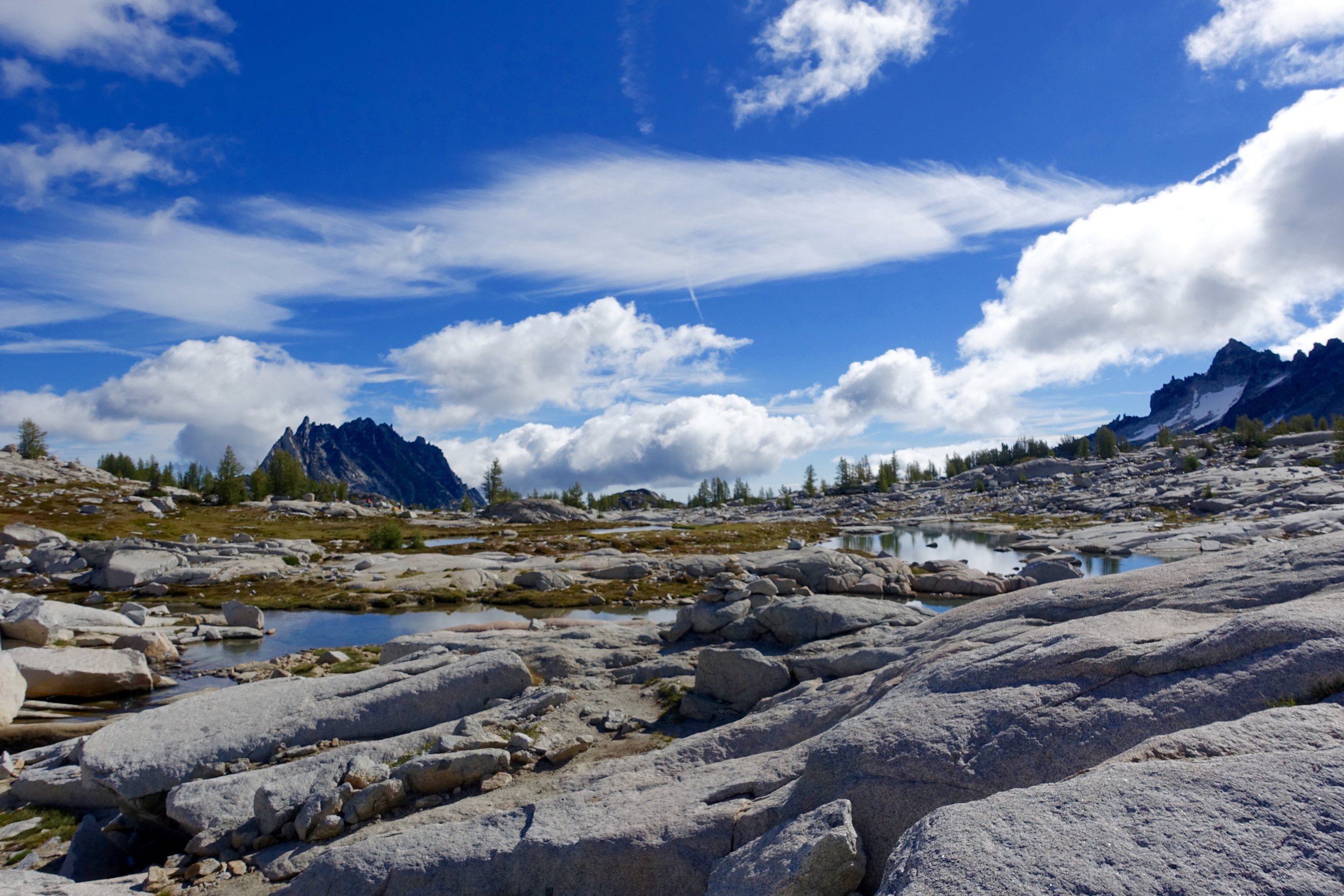
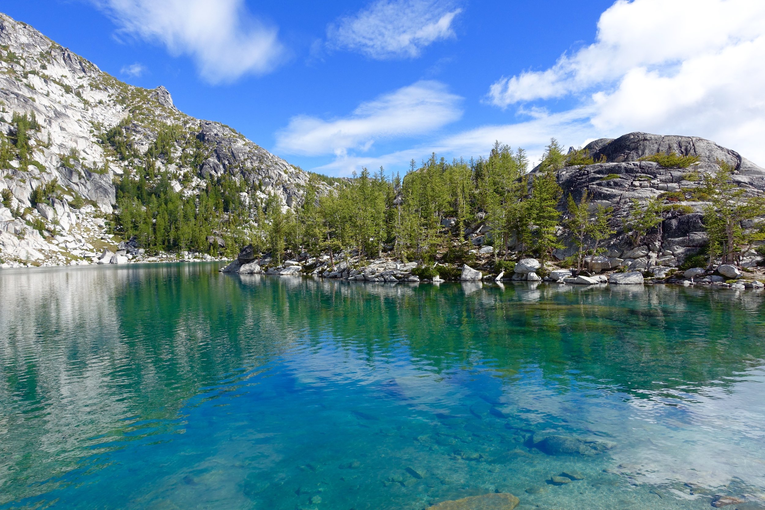
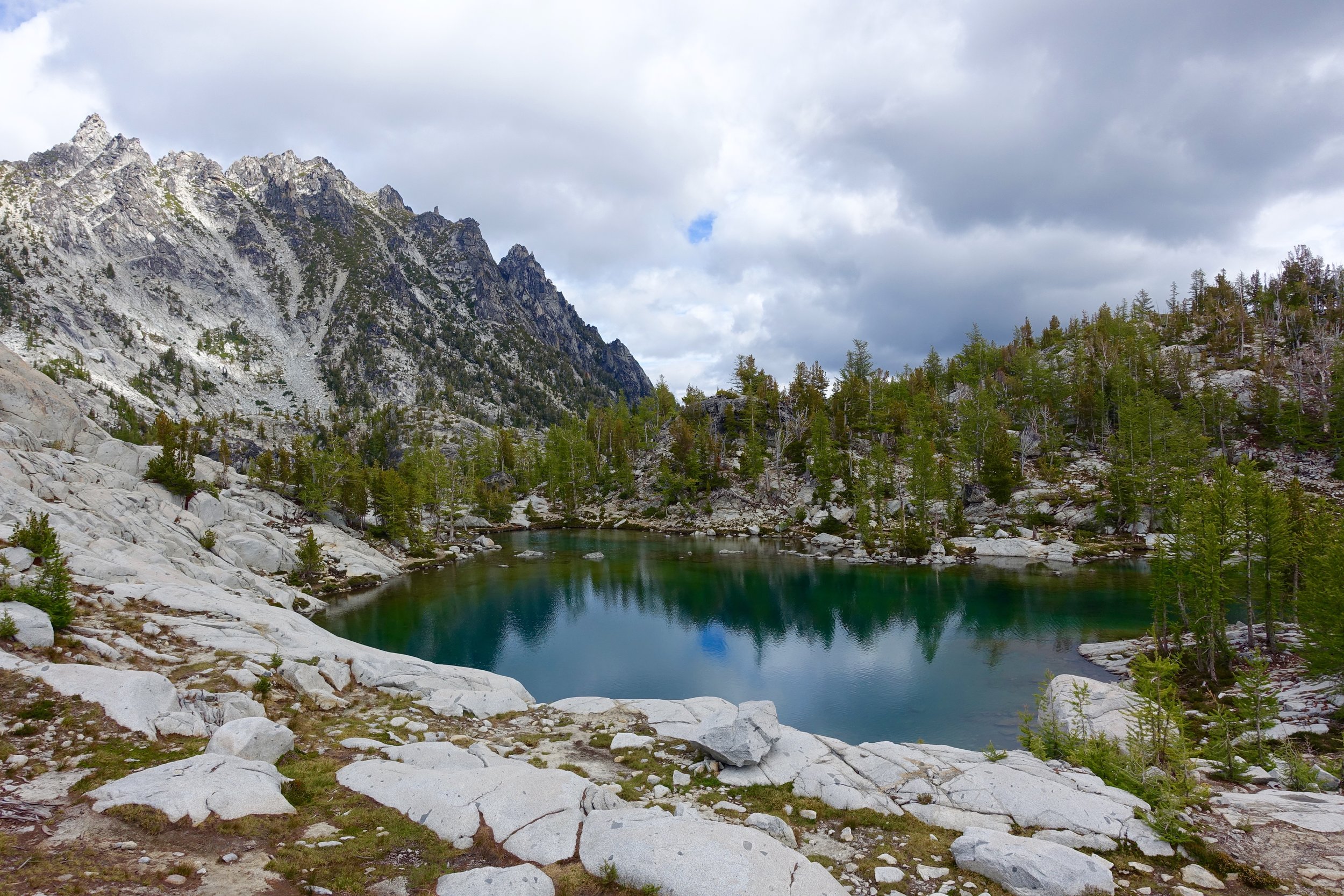
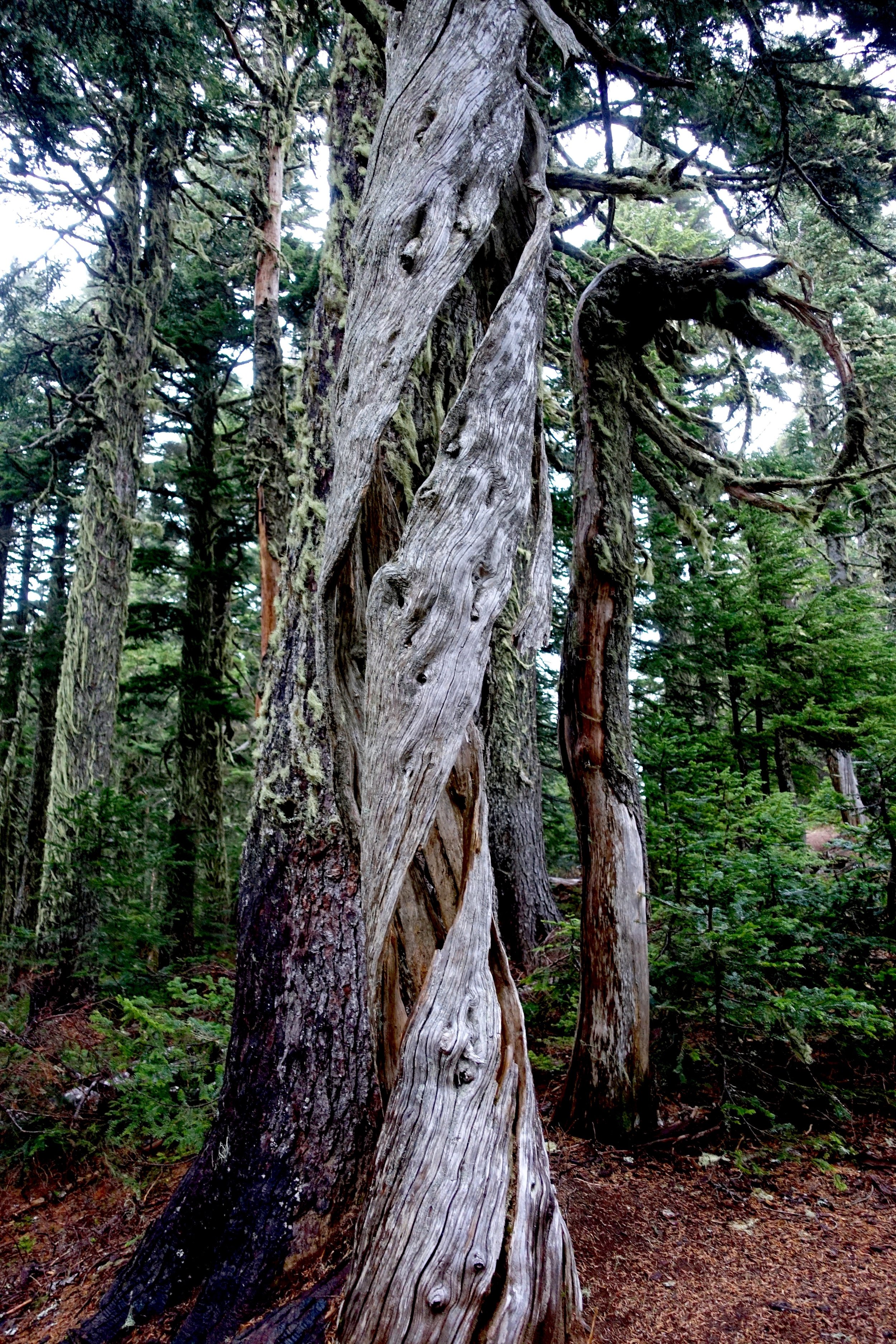
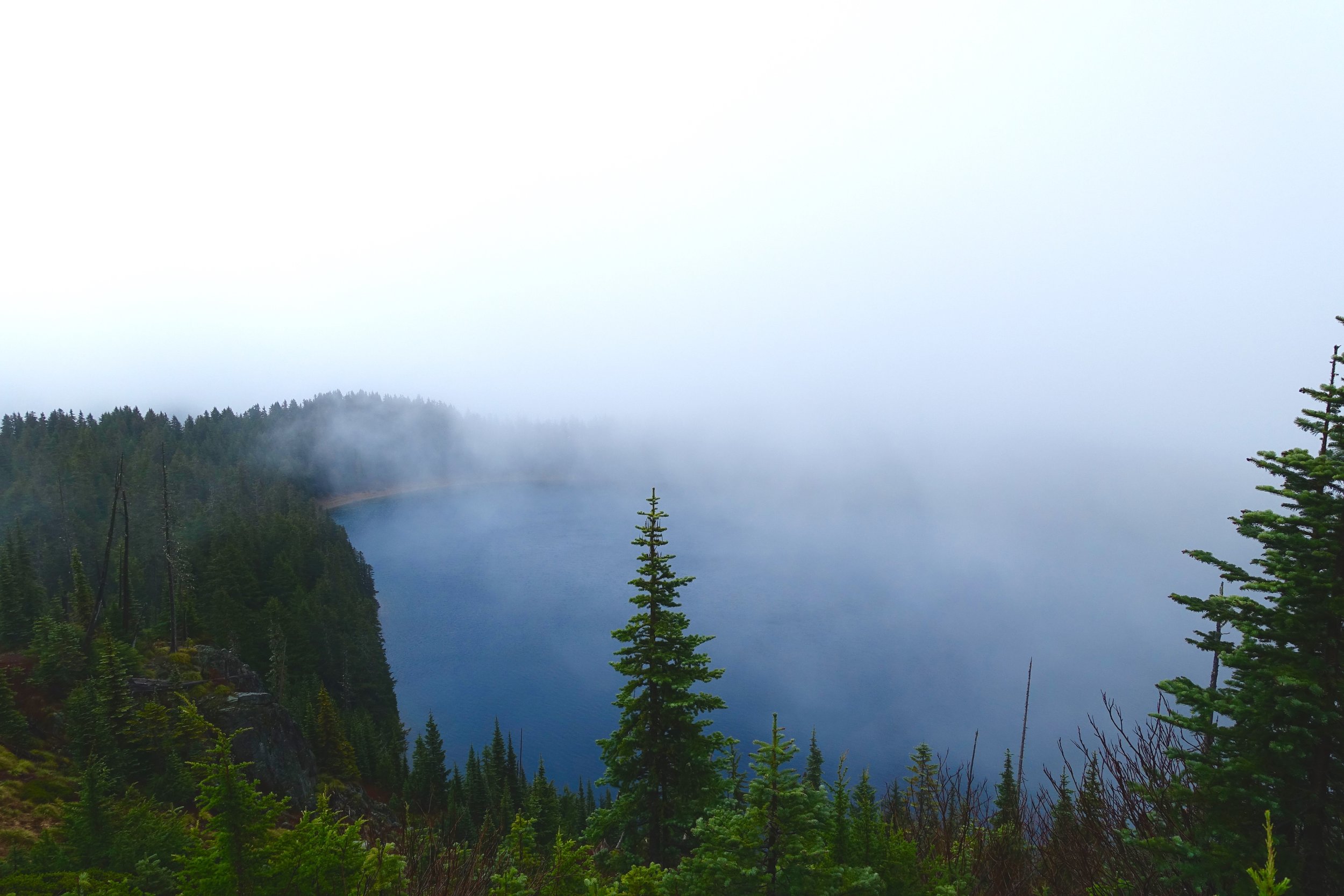
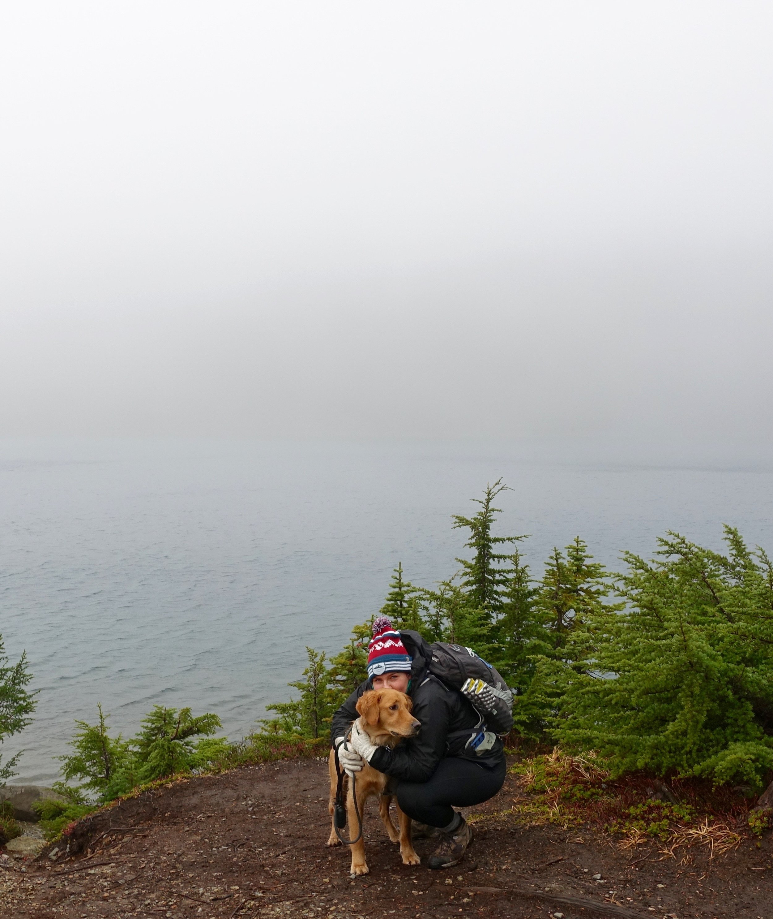
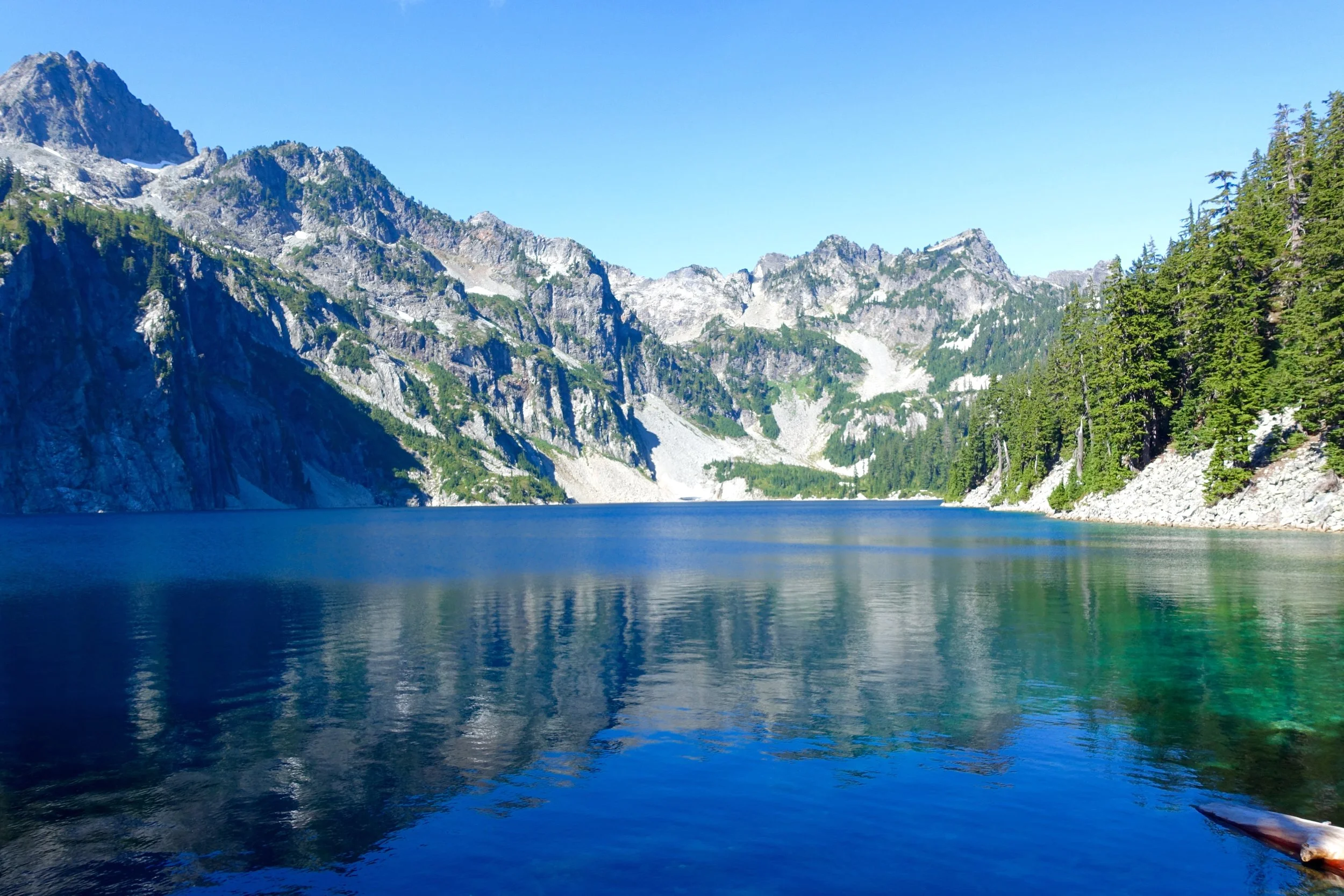
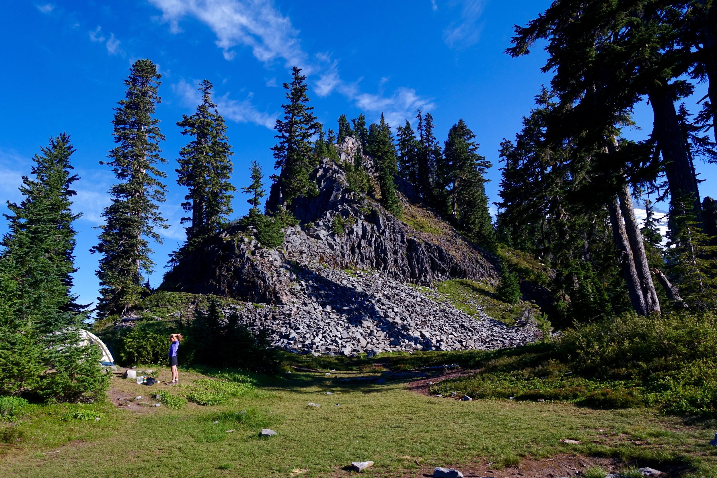
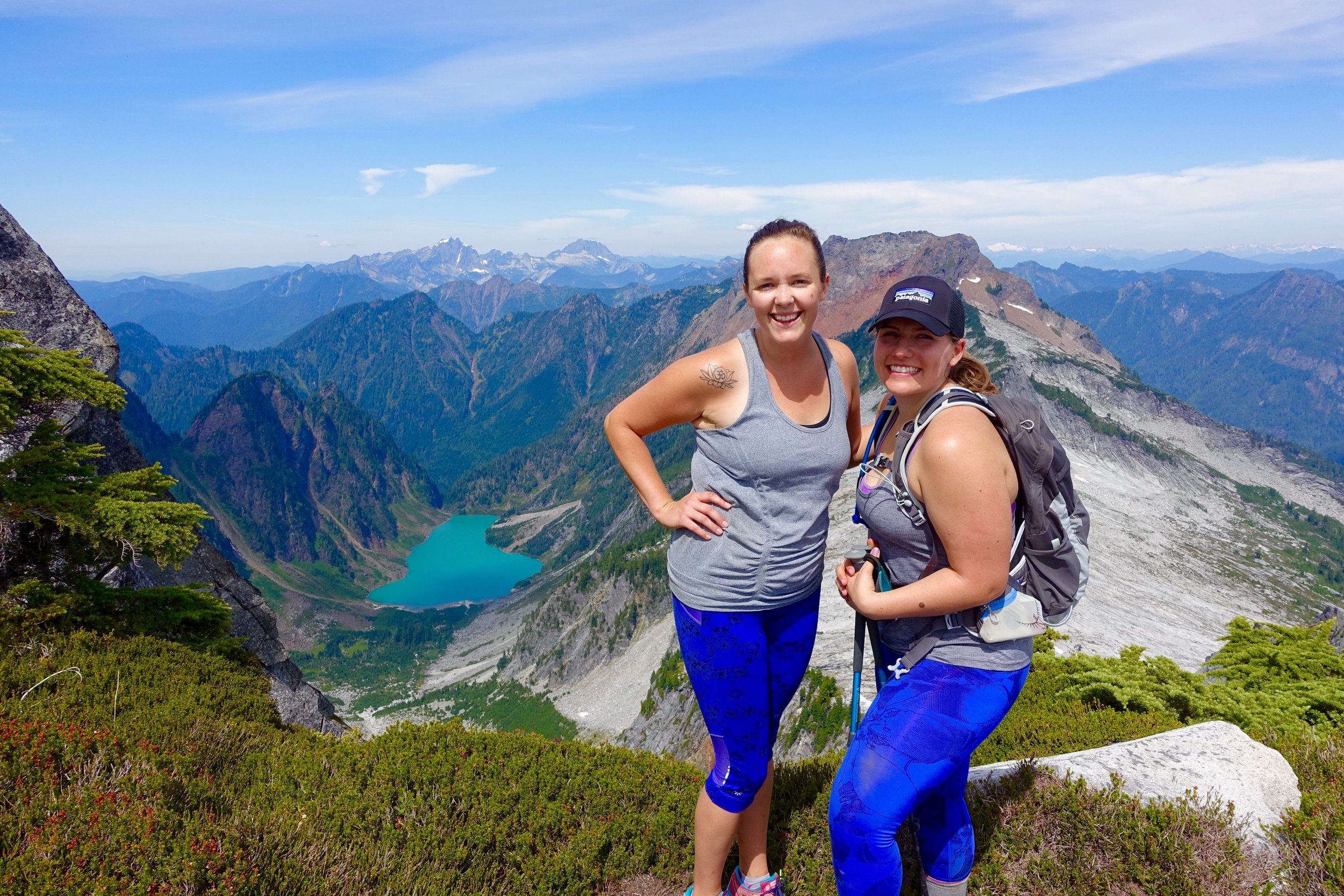
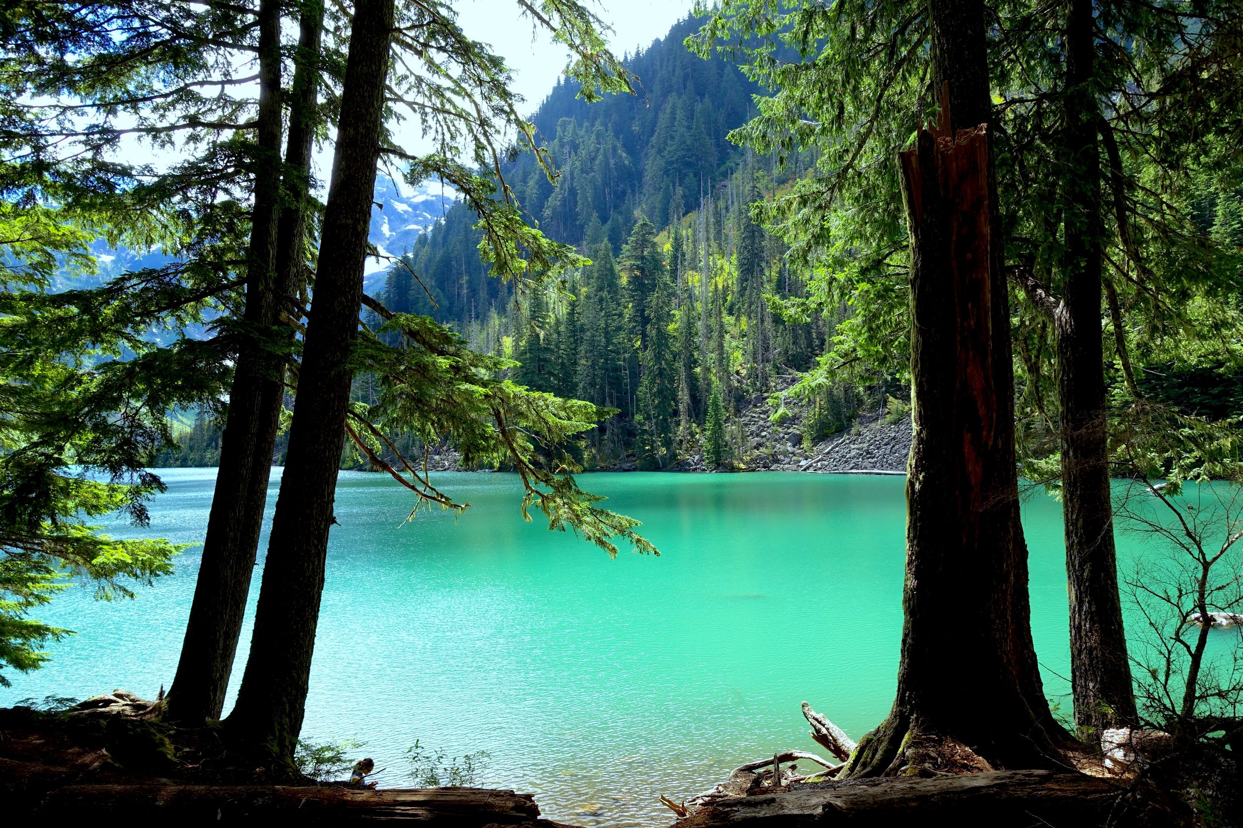
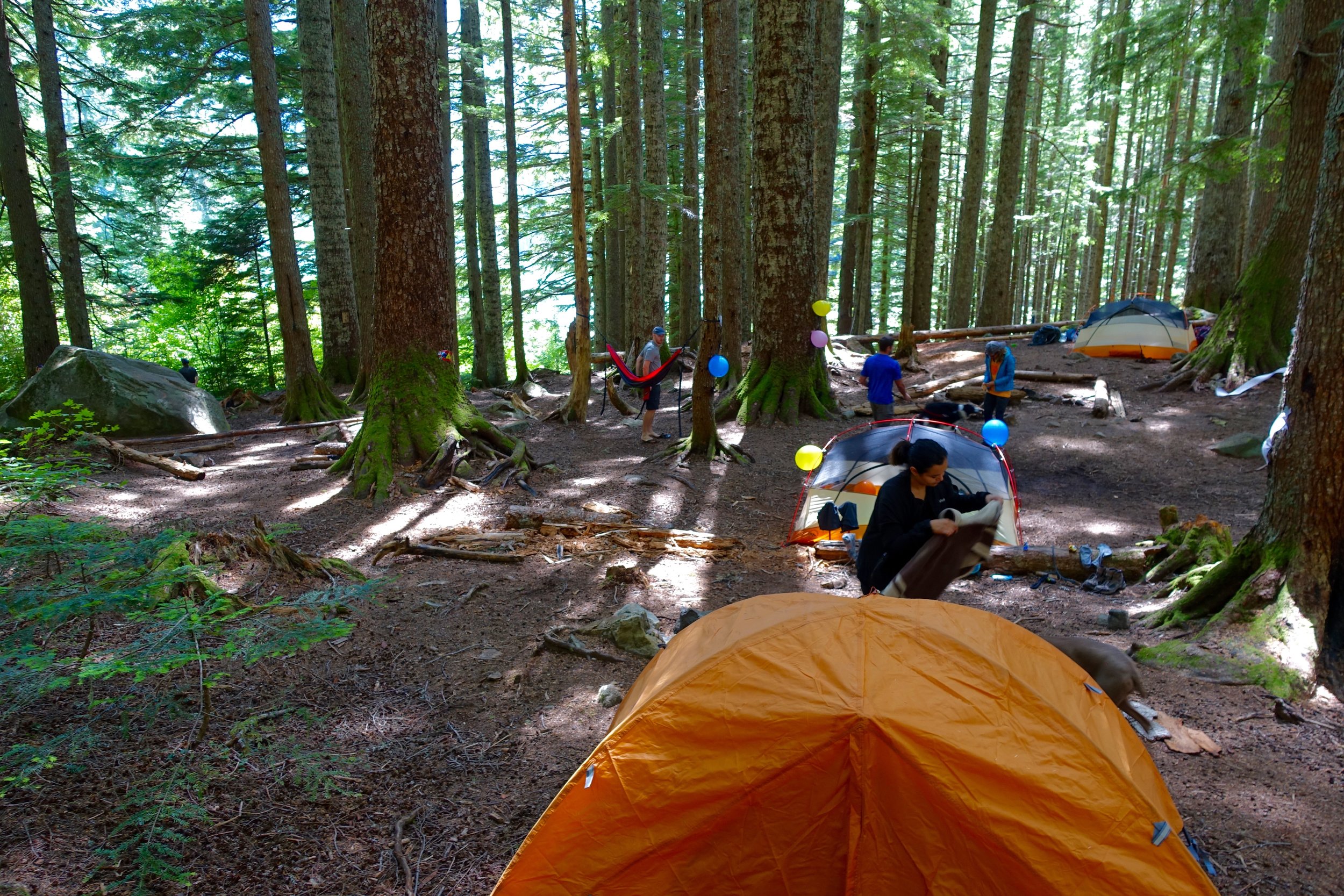
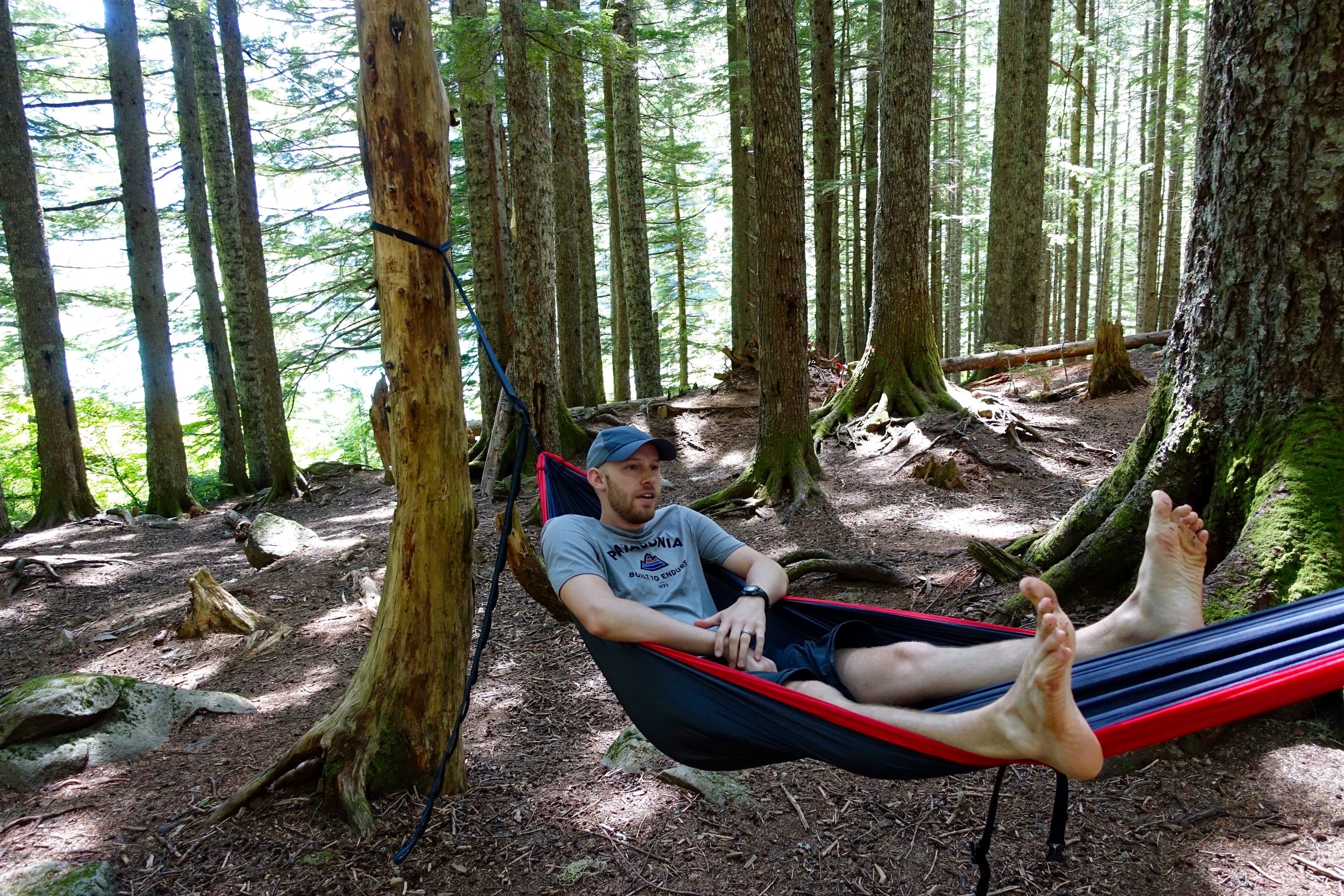
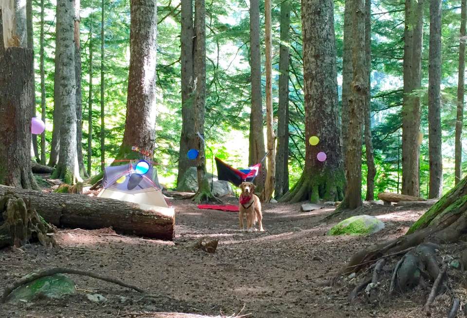
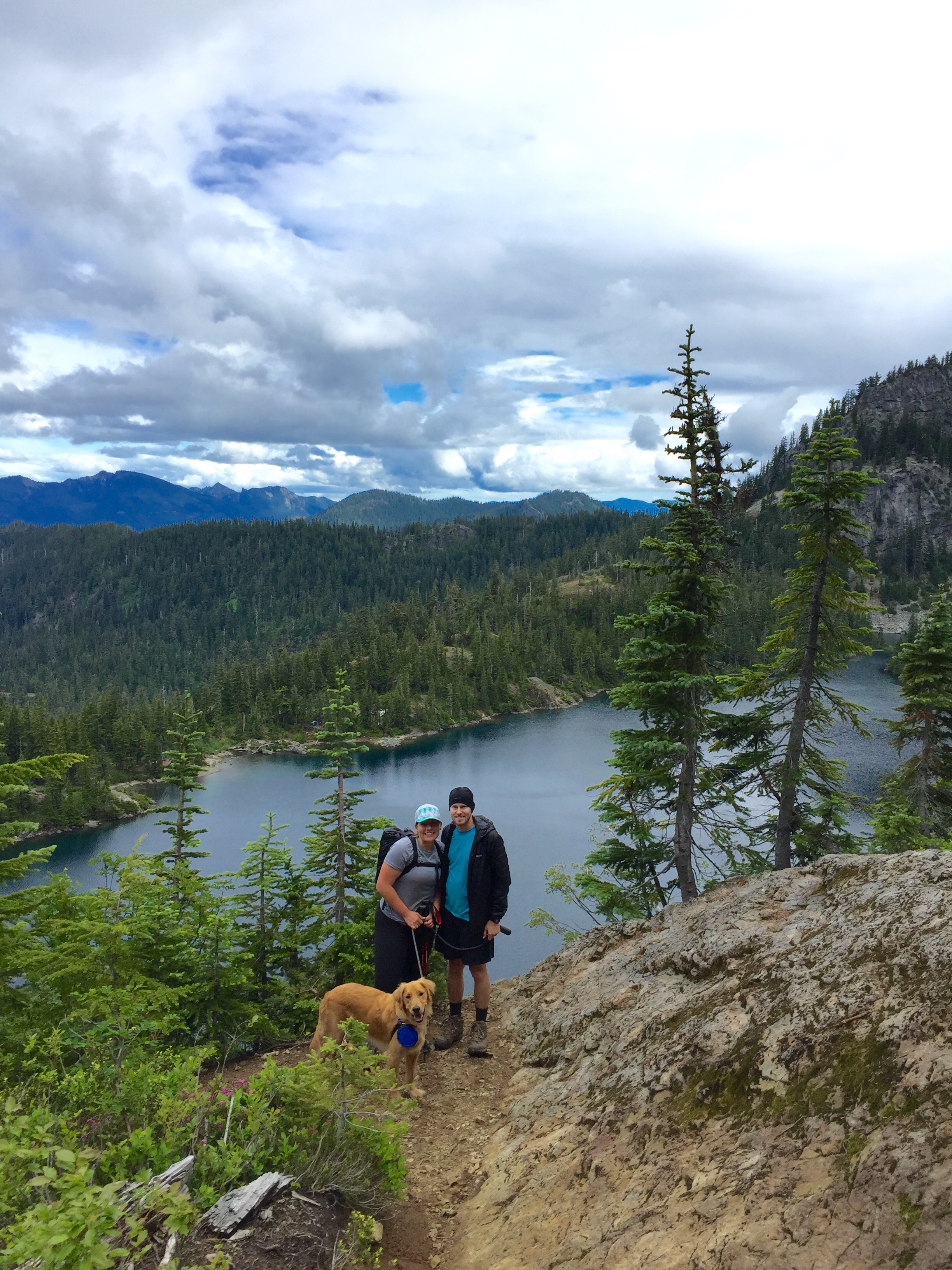
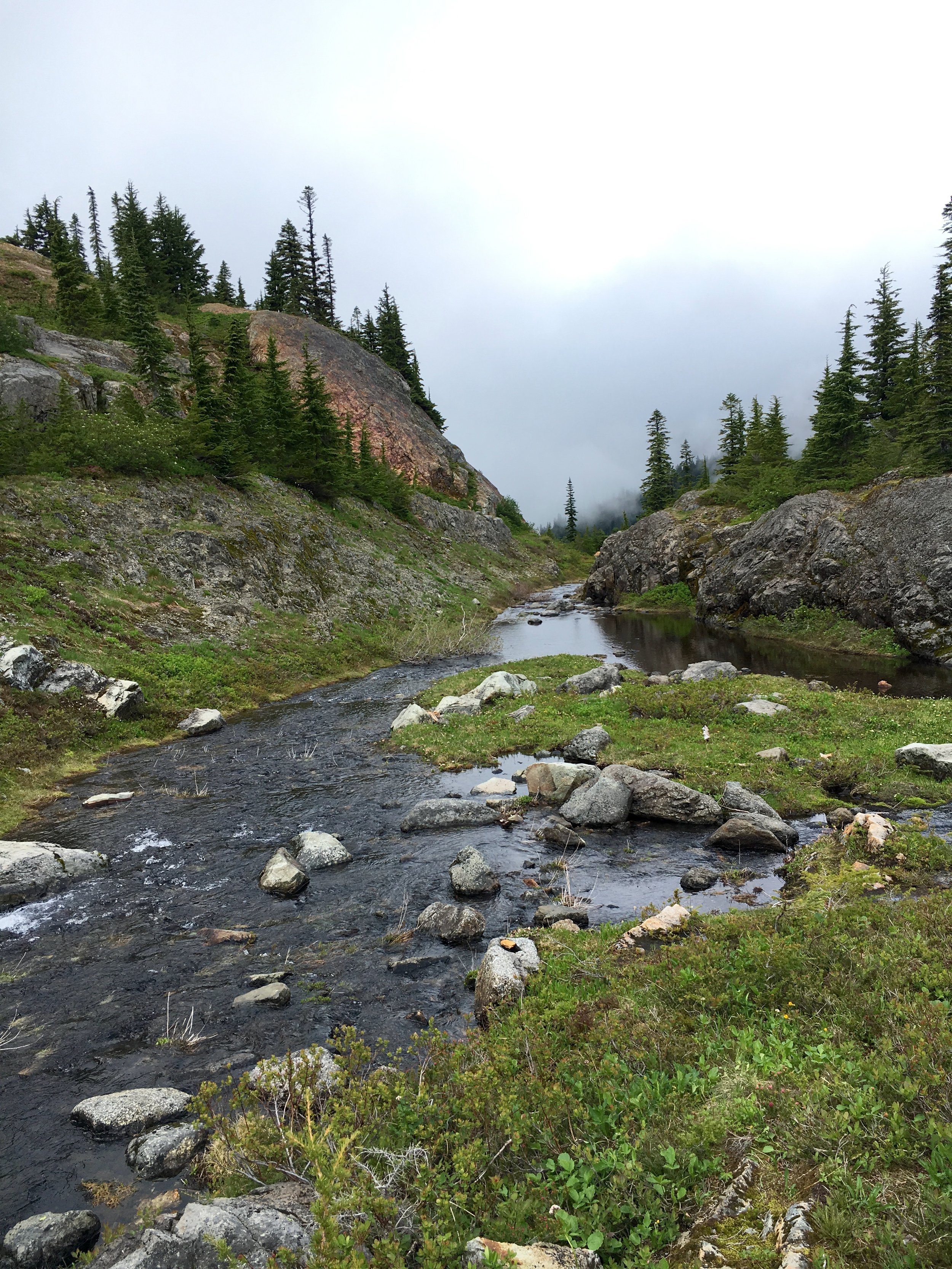
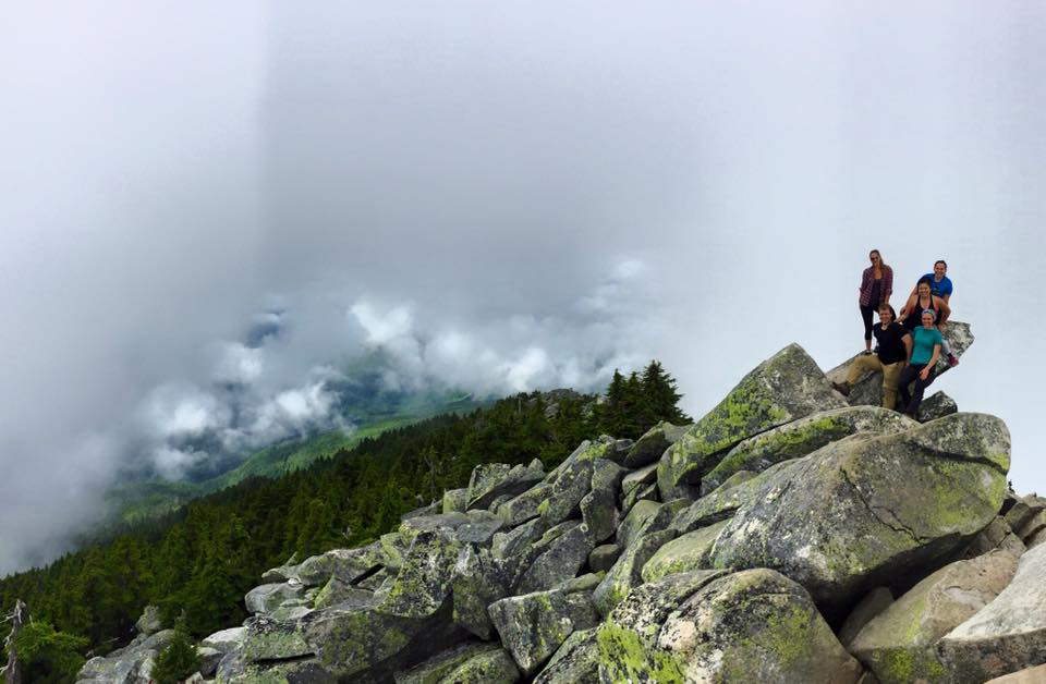
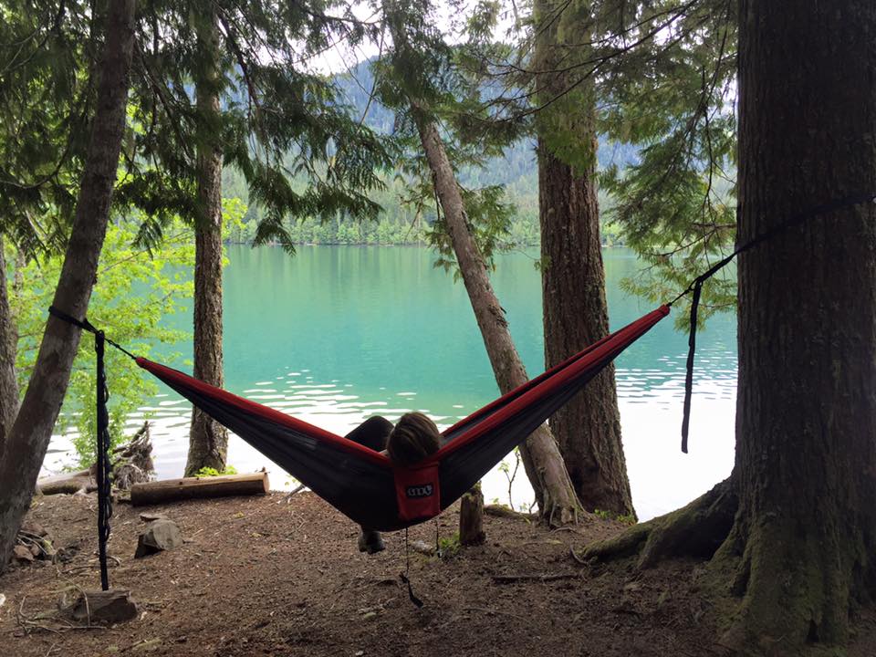
After seemingly endless climbing we made it to the lake! It was very foggy when we arrived but our number one goal was to find camp for the night. Looking at the map we could tell where different camp spots were as we walked around the lake. We went half way down the lake and found an area off of the trail that would've fit all 4 tents but wanted to check out the next one as well and I'm so glad we did. This one was very close to the lake, had an awesome granite table already set up and had enough space for all of us. Sold. We set up our tents right away, made some lunch (ramen) and the family table and then napped in the tents while it was raining.
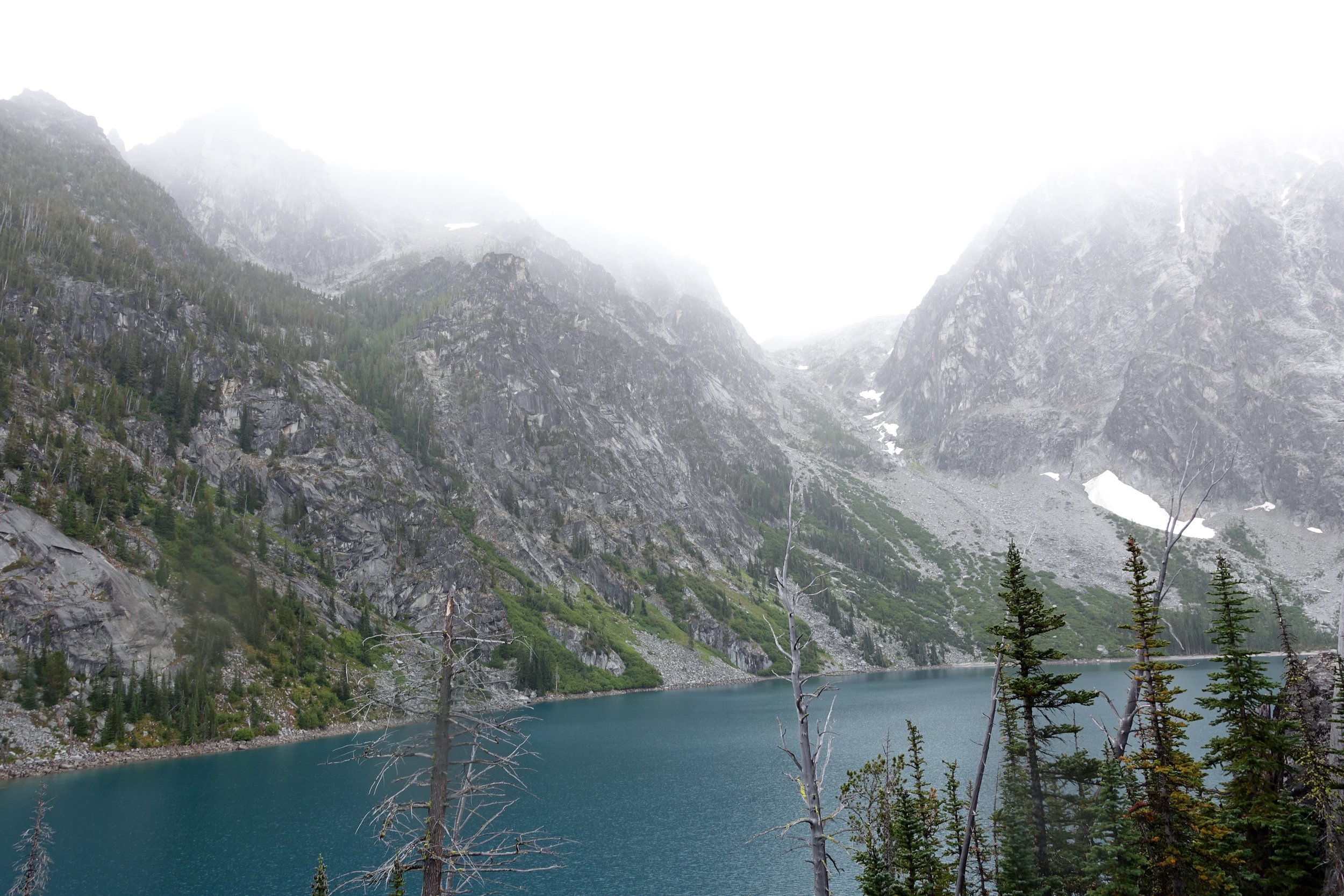
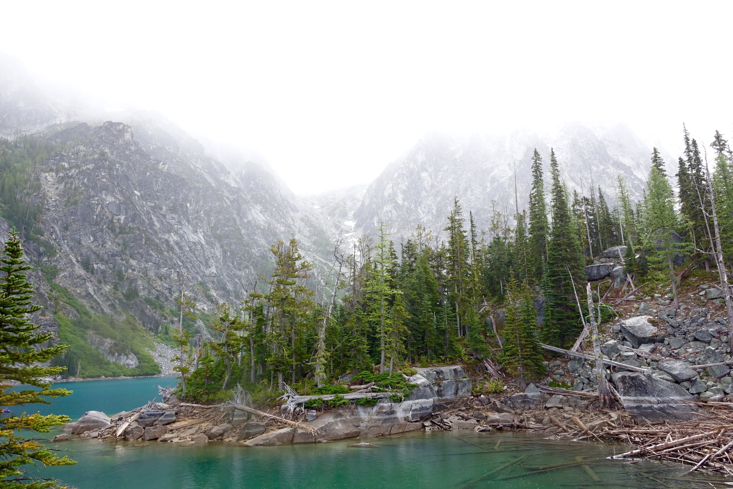
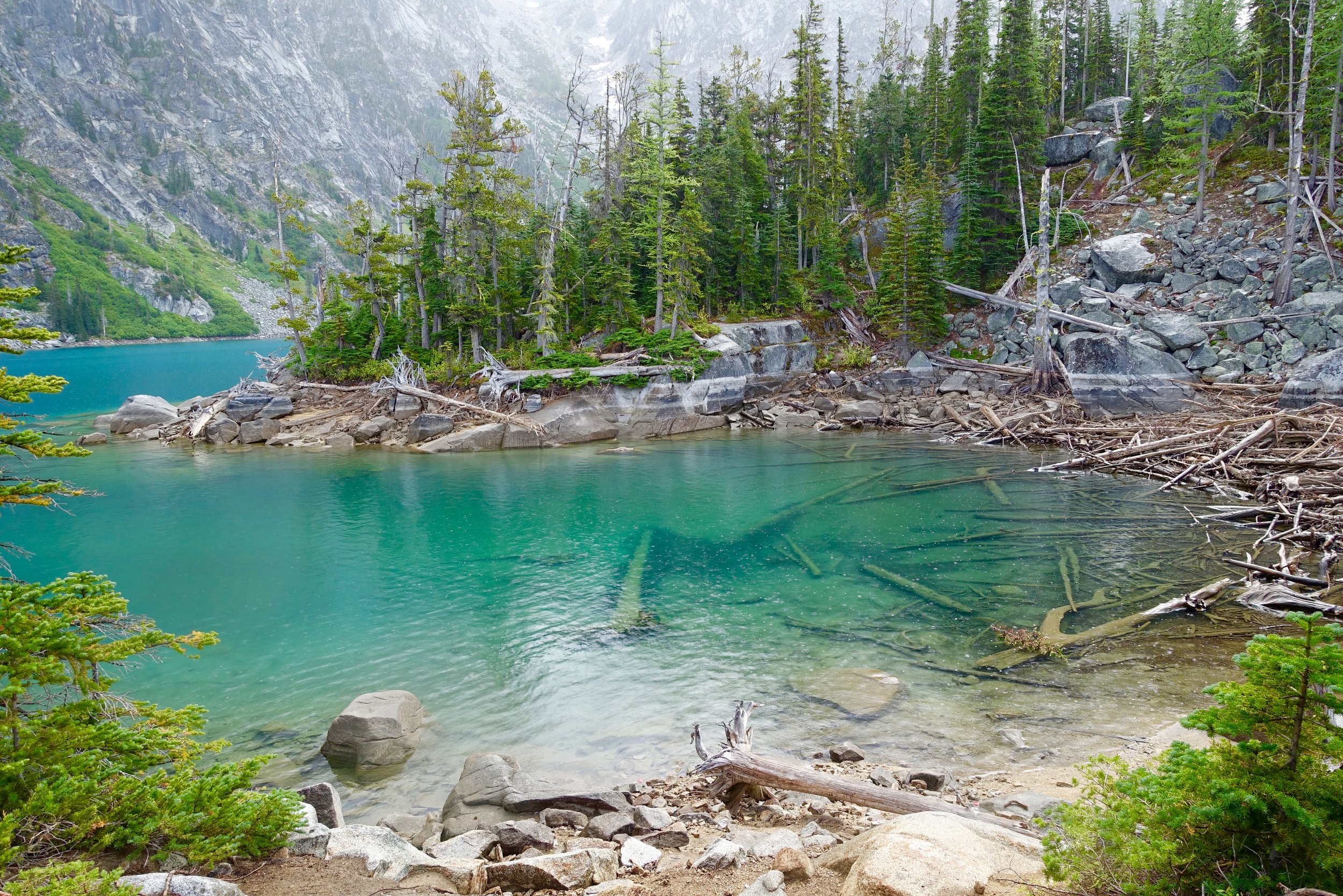
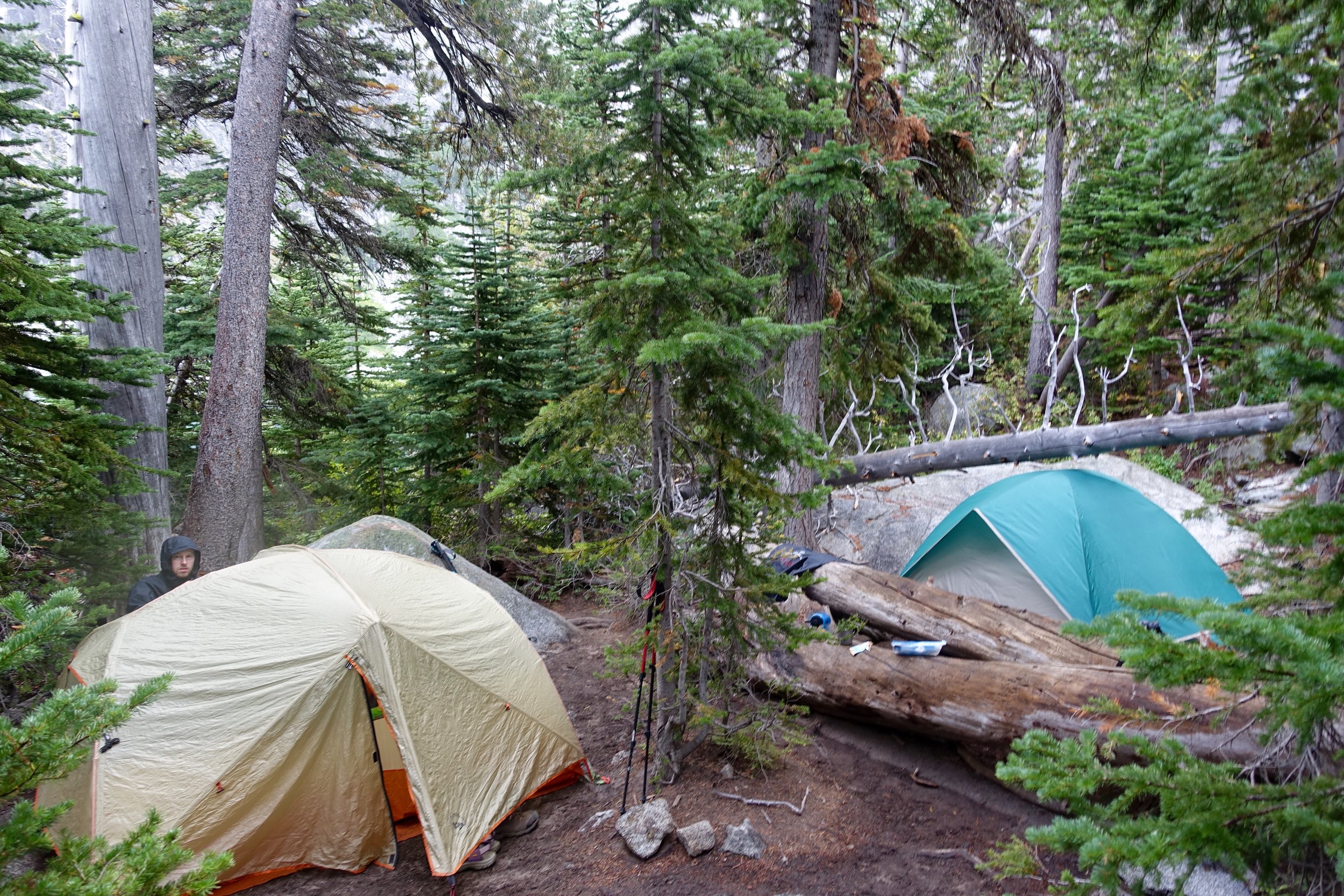
After our nap we slowly woke up and got the crew together to adventure around the lake as it was nice out now and the clouds had cleared up. I got my daypack out and we hiked back up to the other end of the lake and explored around the beach areas.
After that we made our dinners and went to bed early to gear up for the big climb the next day: Aasgards pass- climbing 2000 feet in just under 3/4 of a mile.
Day 2:
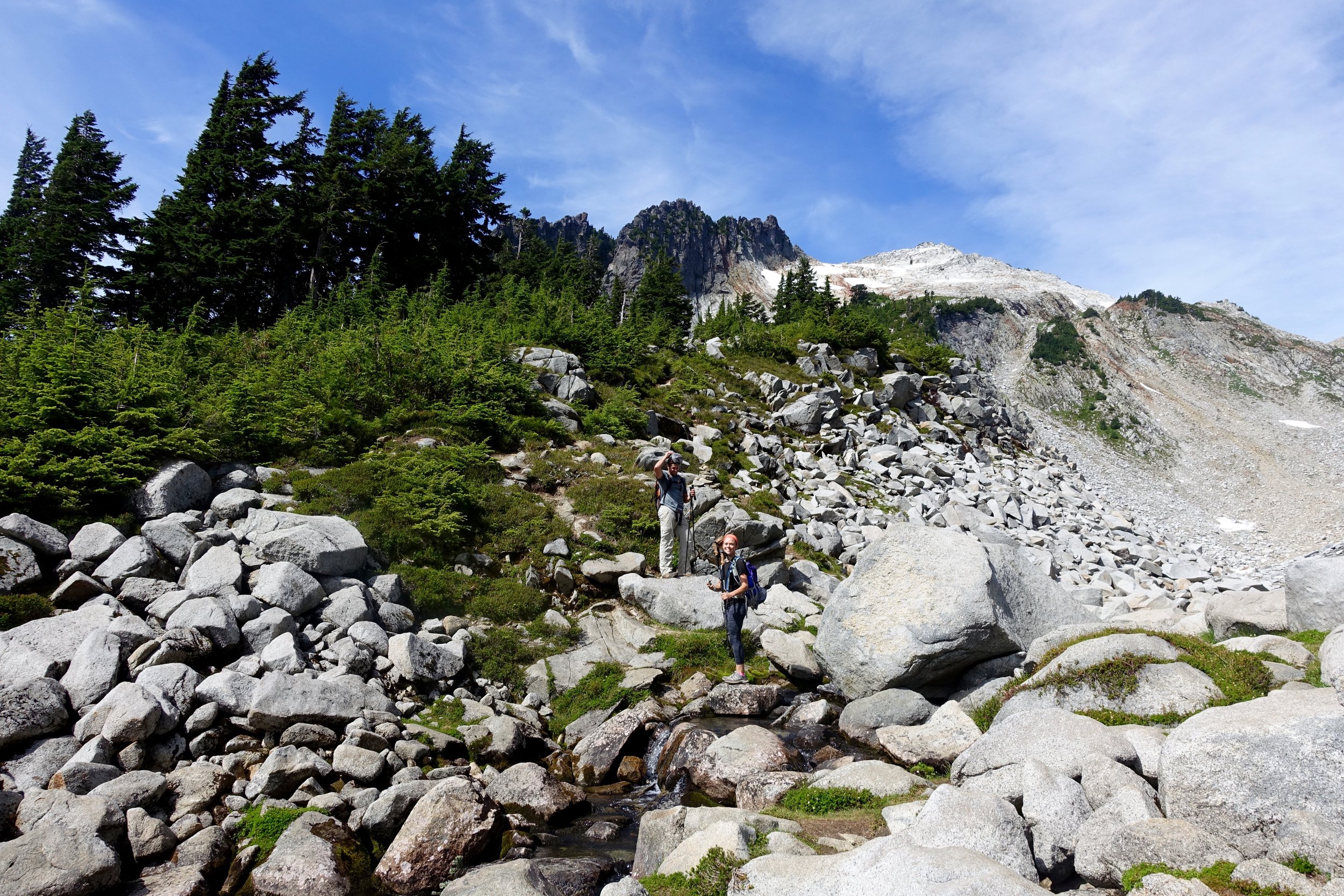
We woke up early, made egg burritos (top notch) and drank coffee while staring at the calm lake. We packed up camp and made our way to the other end of the lake. To get over you you have to climb over many large, boulder rocks that are quite difficult with big packs. At the bottom of Aasgards is a really nice beach that would've been the best to camp at. Next time.
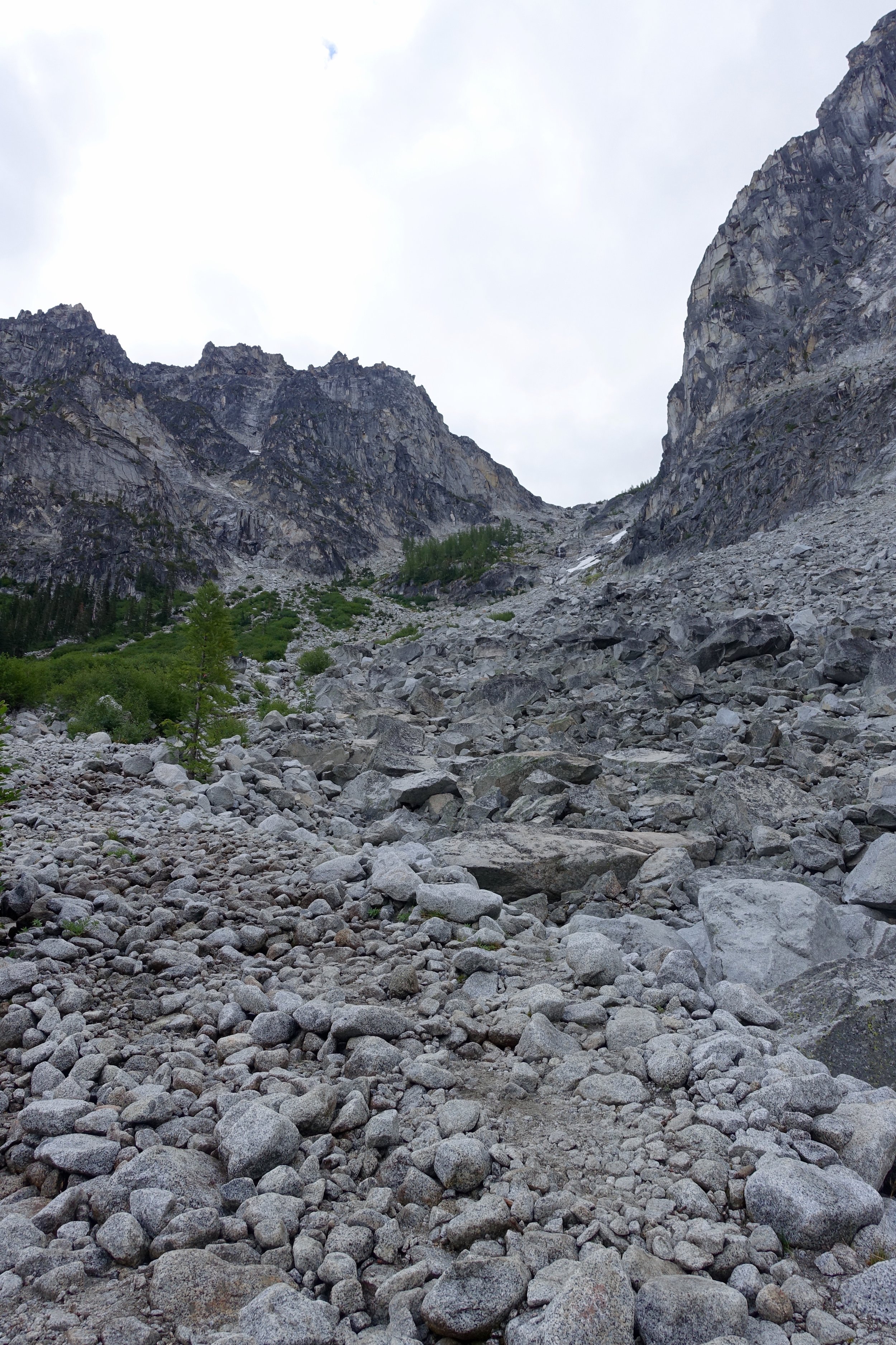
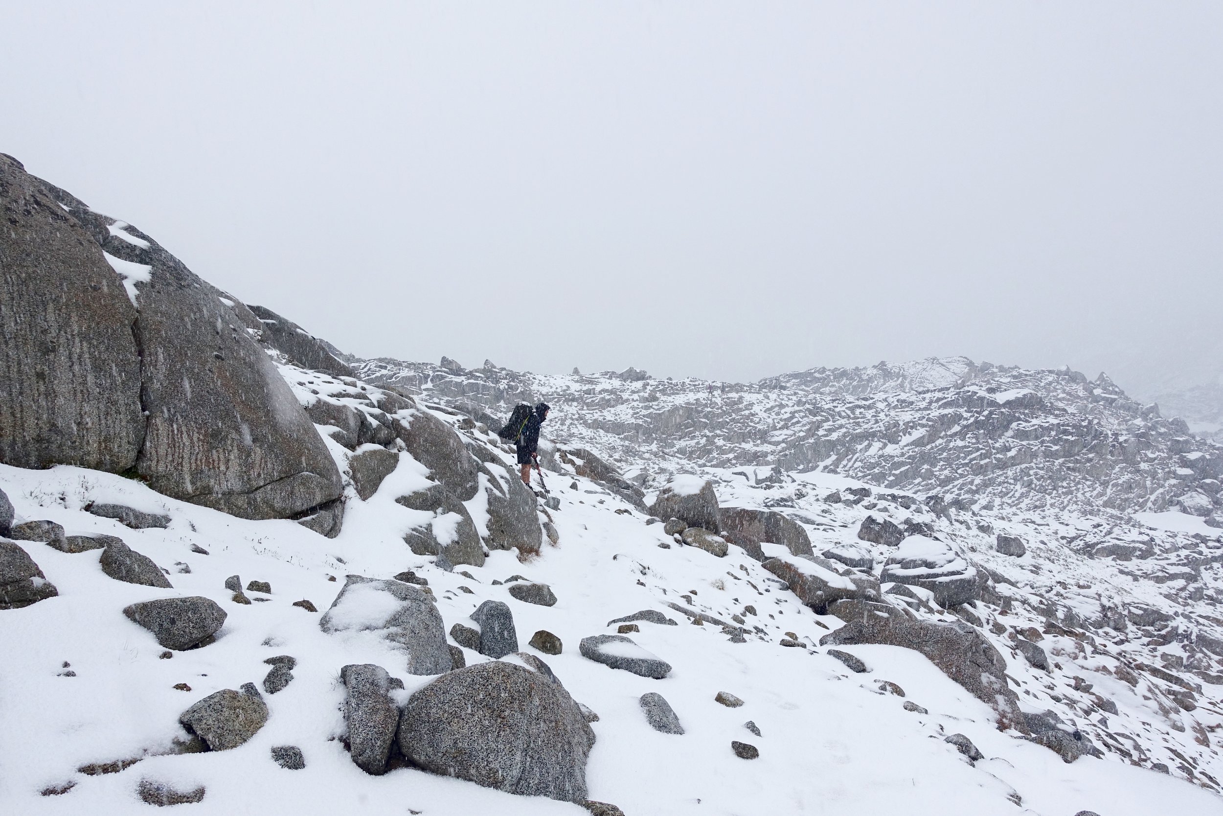
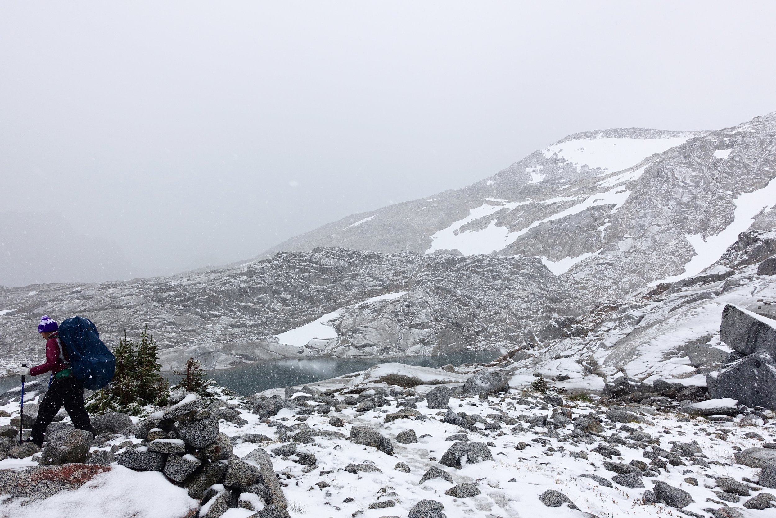
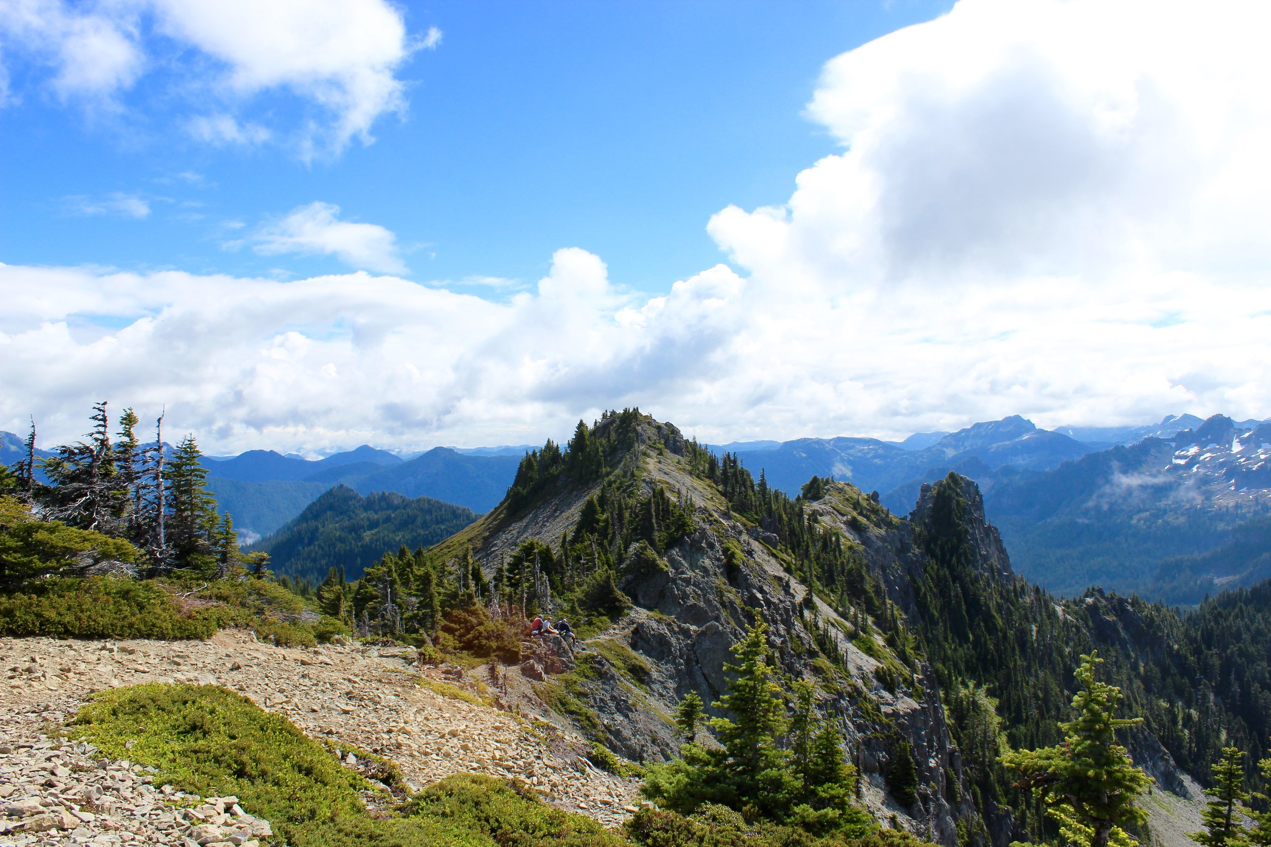
We then started the climb up Aasgards. Right from the beginning we took it really slow and steady taking many breaks along the way. Many day hikers passed us as we made it up with our big packs. Half way up we really stopped and took off the packs and fueled up.
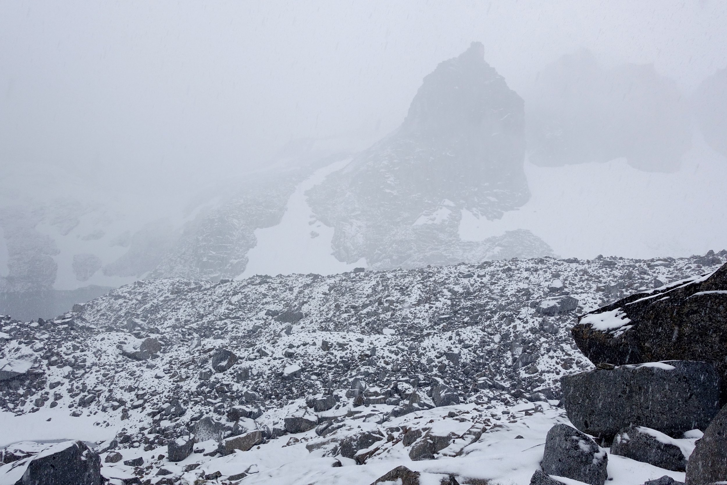
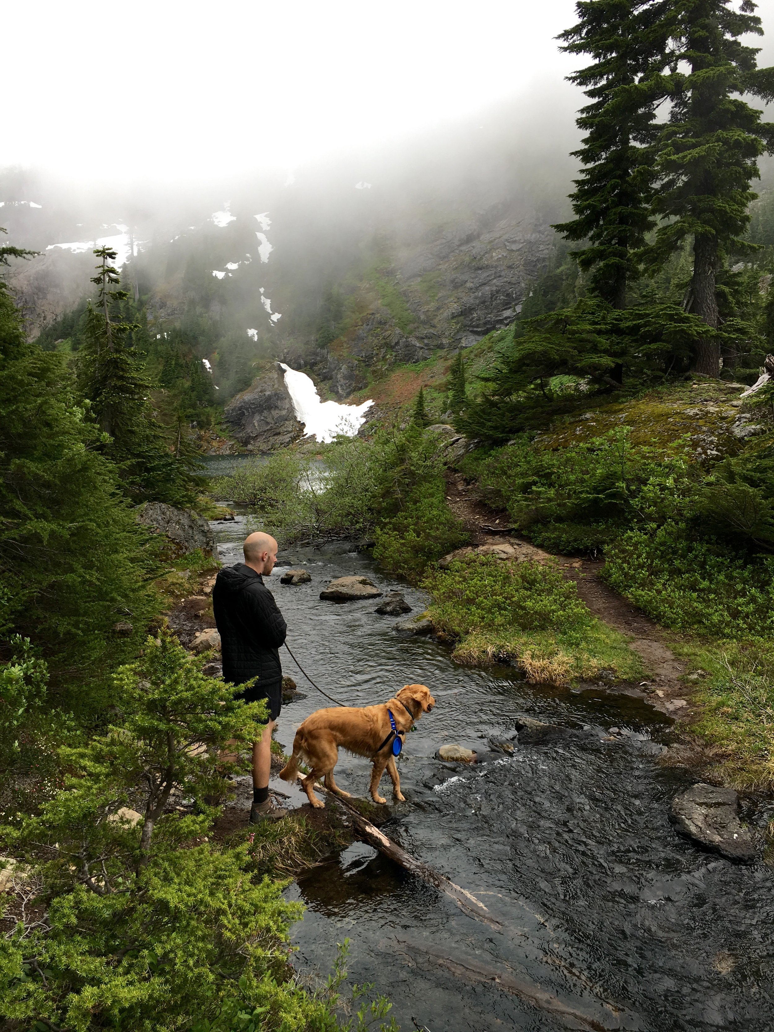
Just within 20 minutes after this last photo was taken the weather turned dramatically and dark clouds rolled in and with it came hail and snow...We were about 3/4 up when this happened. We had no other choice but to keep going.
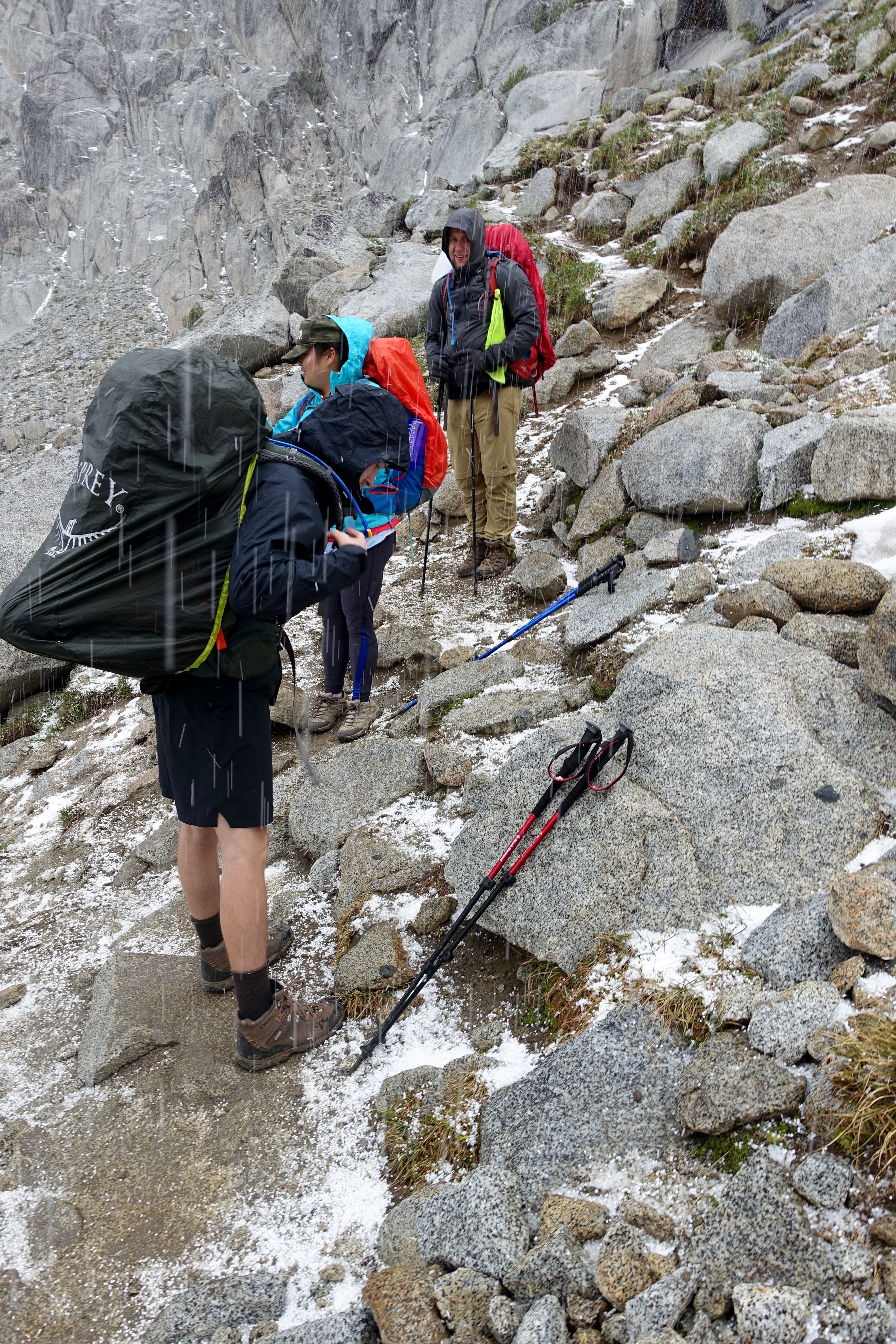
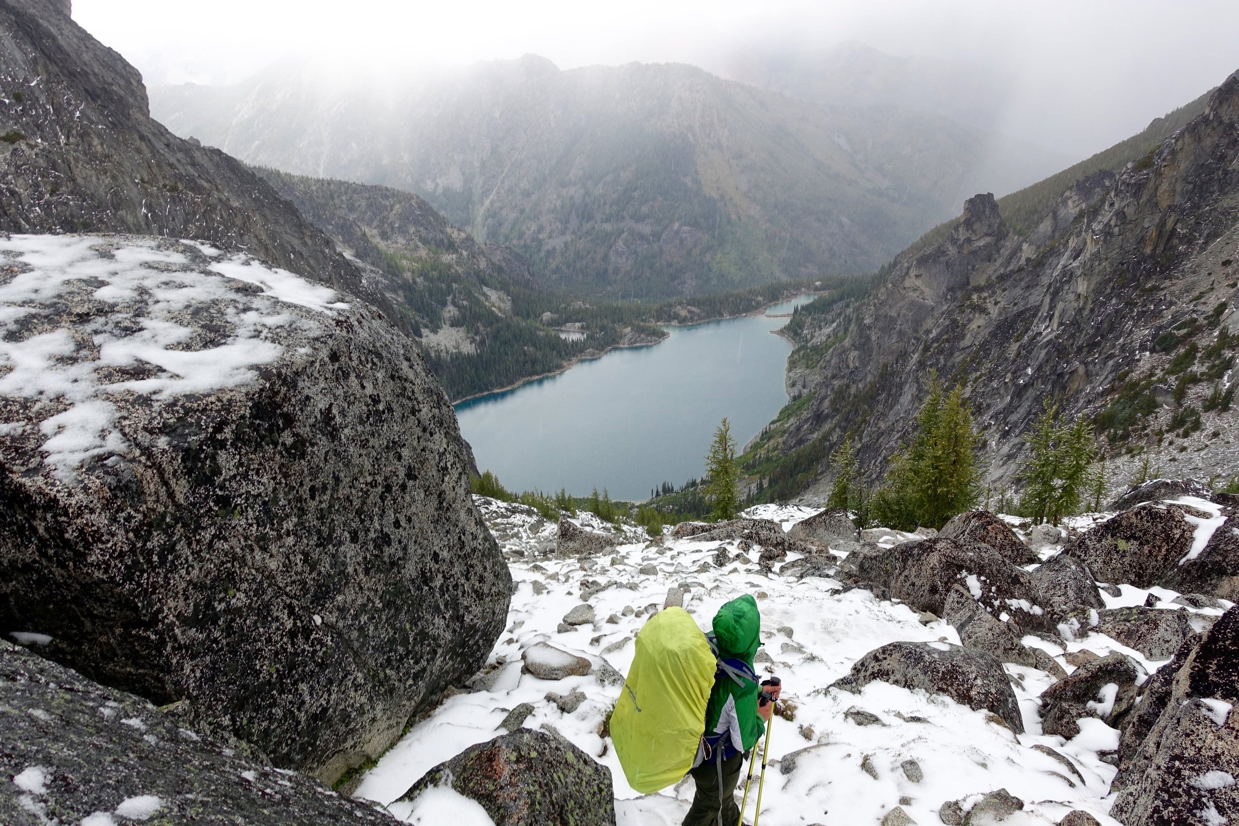
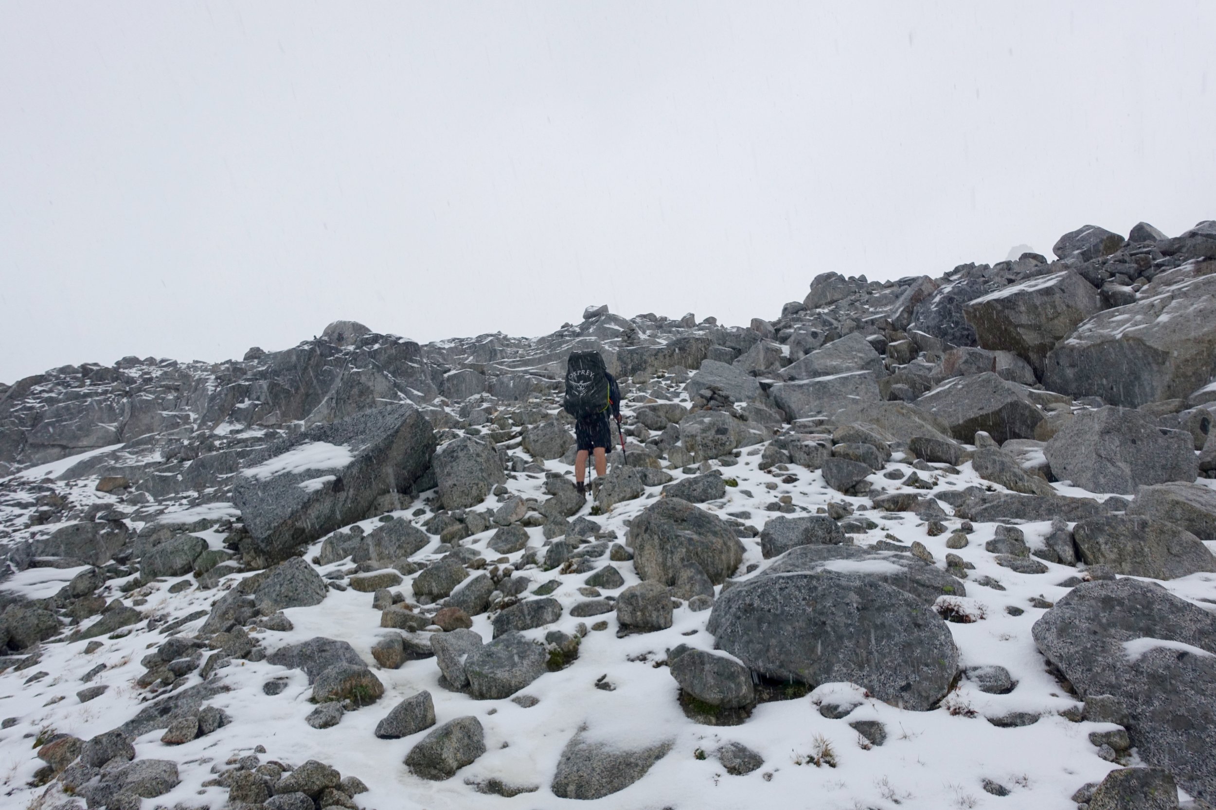
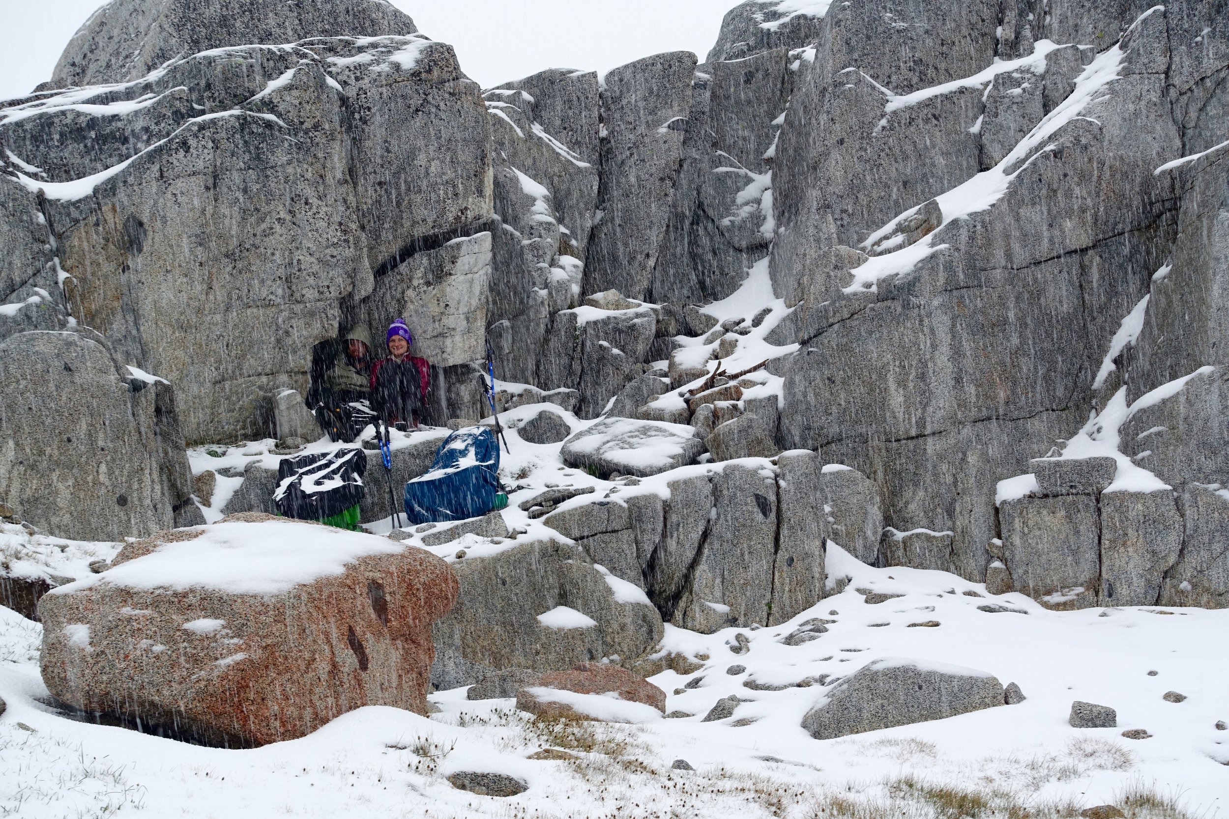
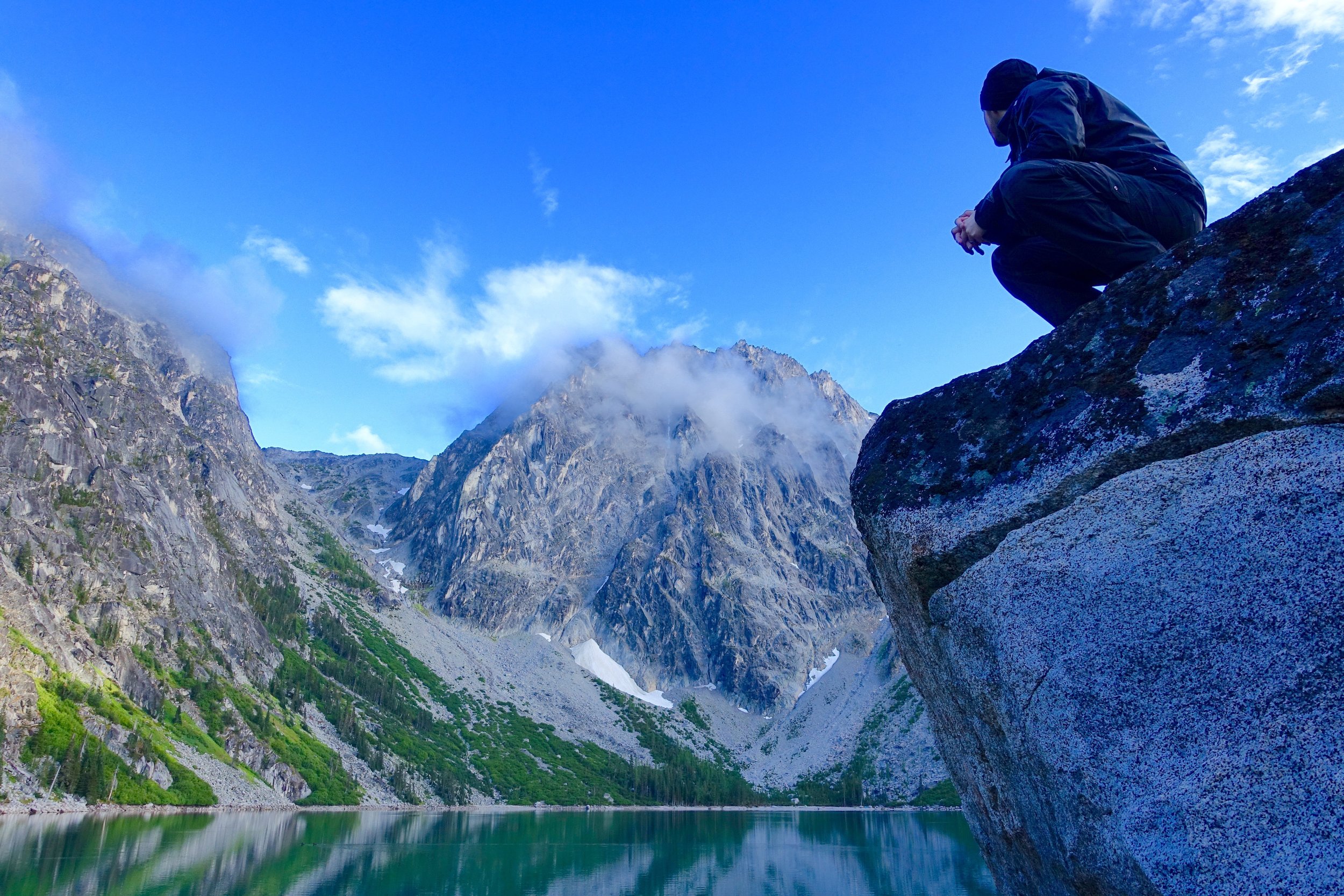
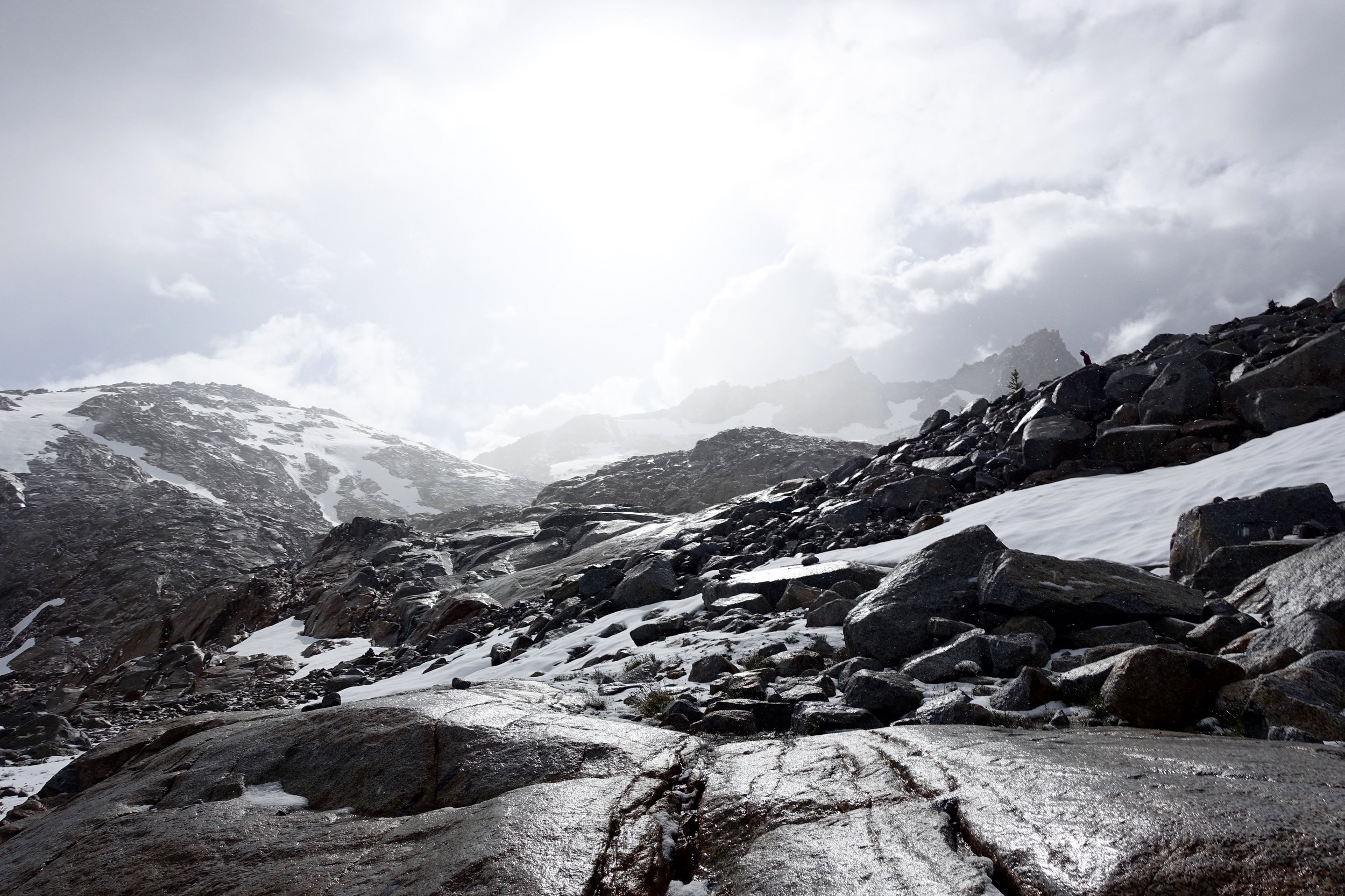
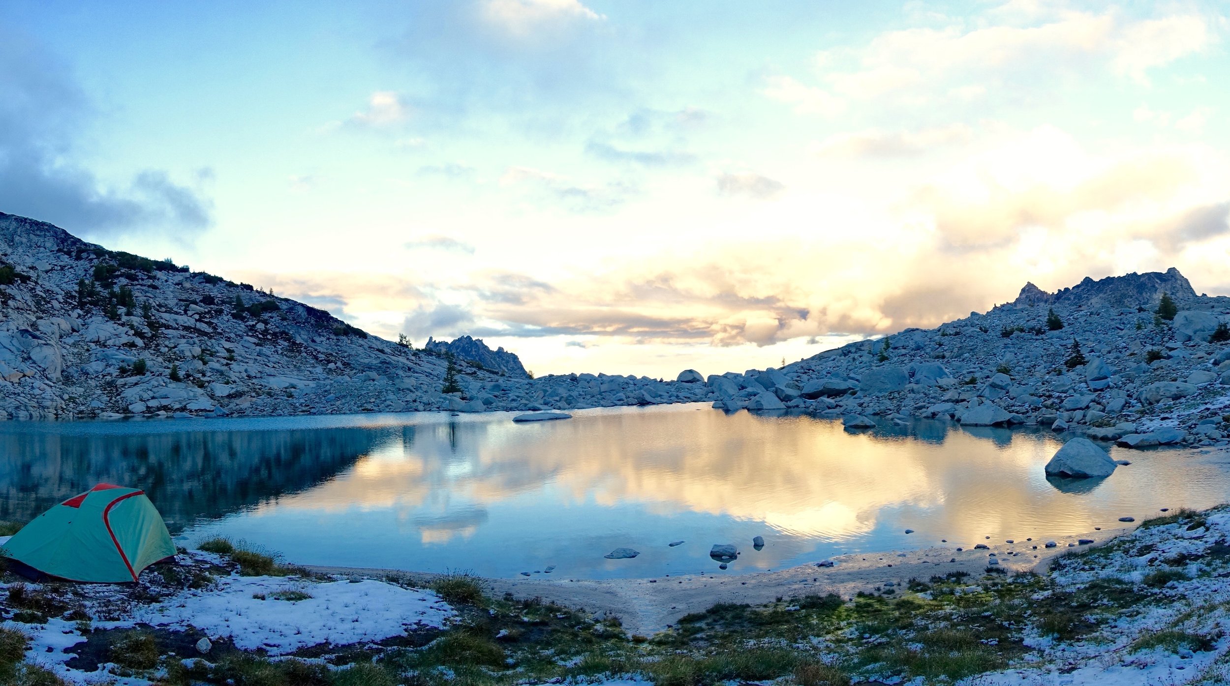
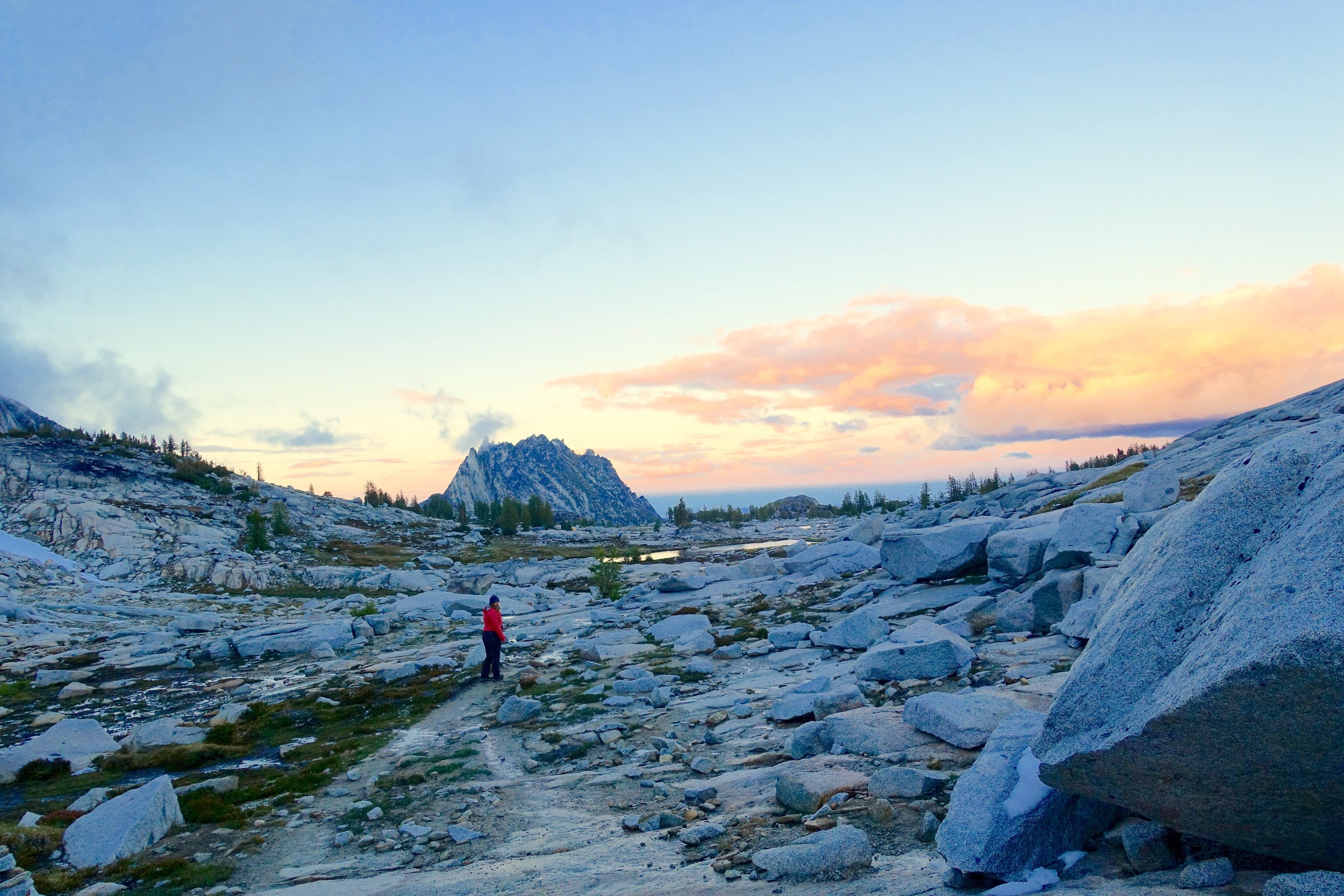
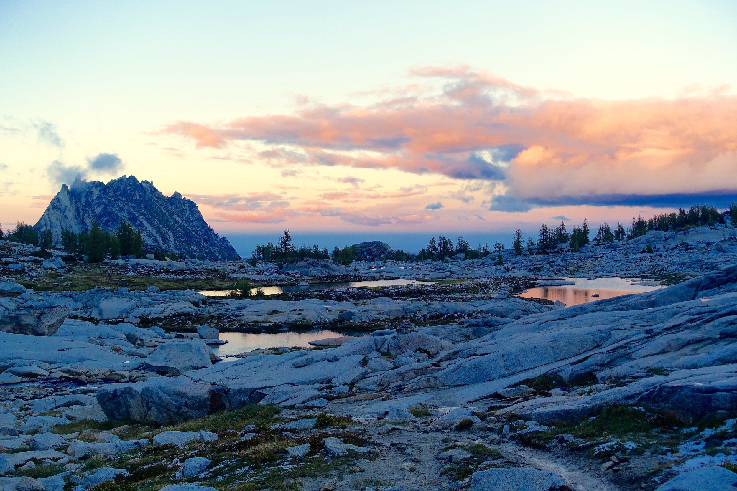
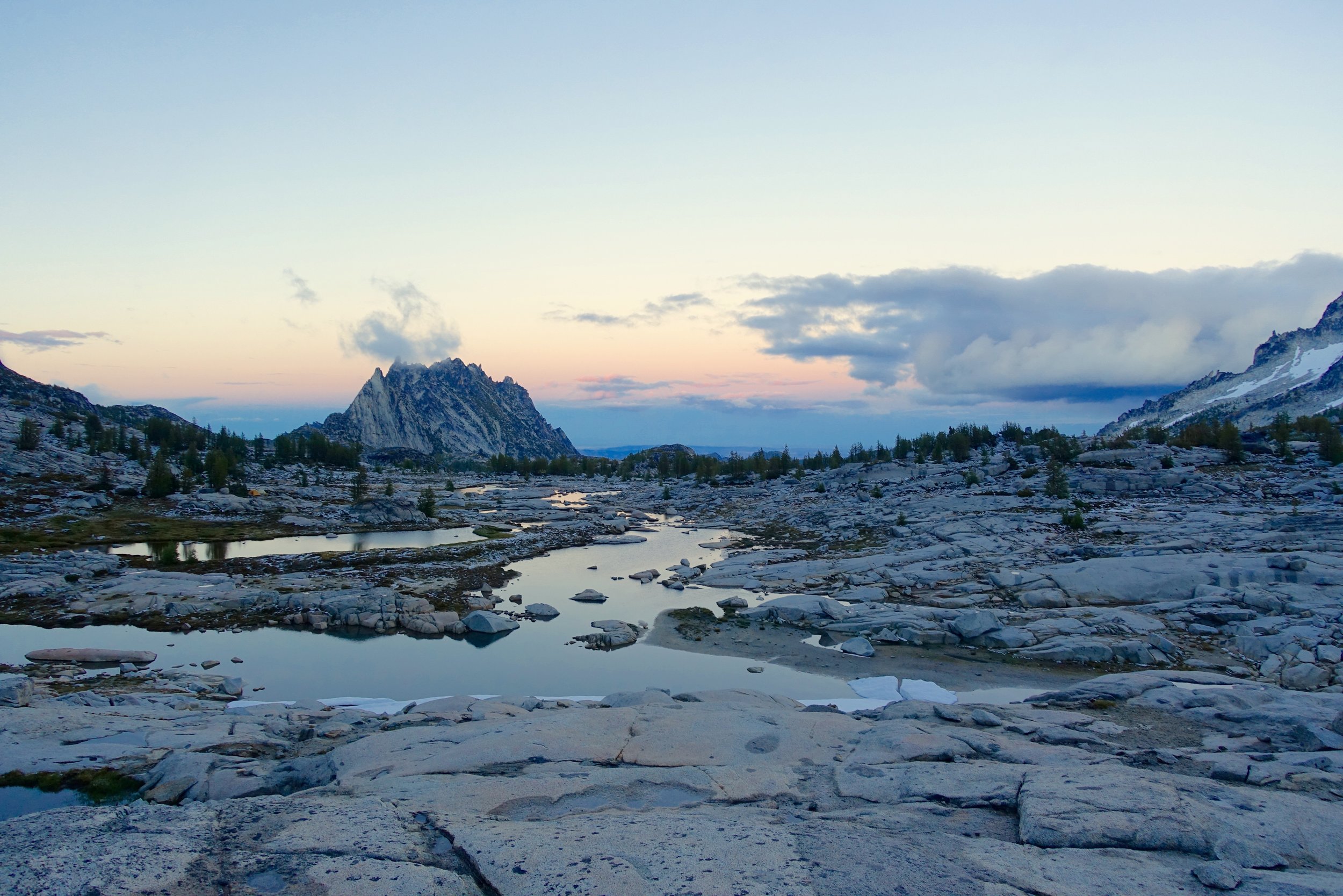
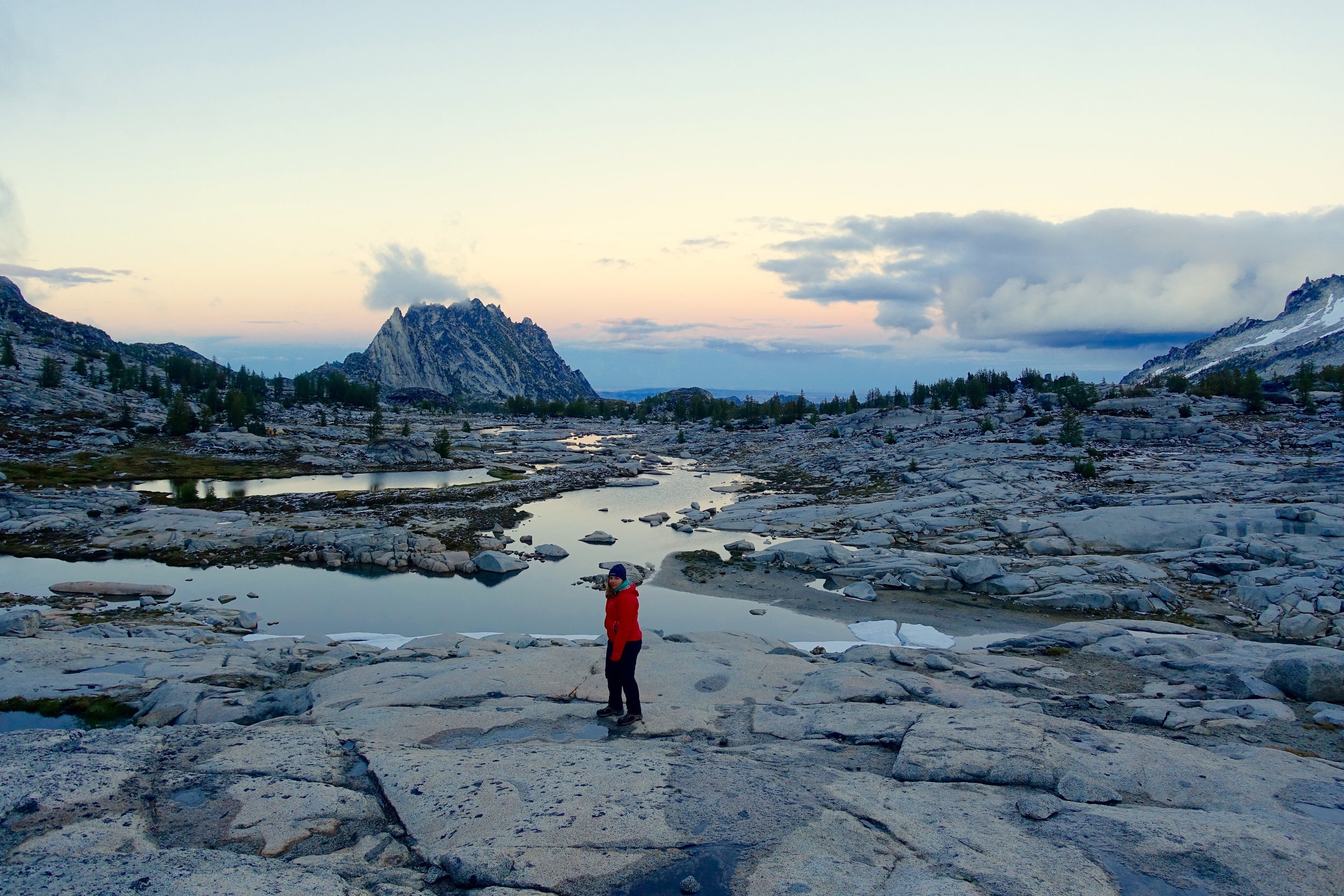
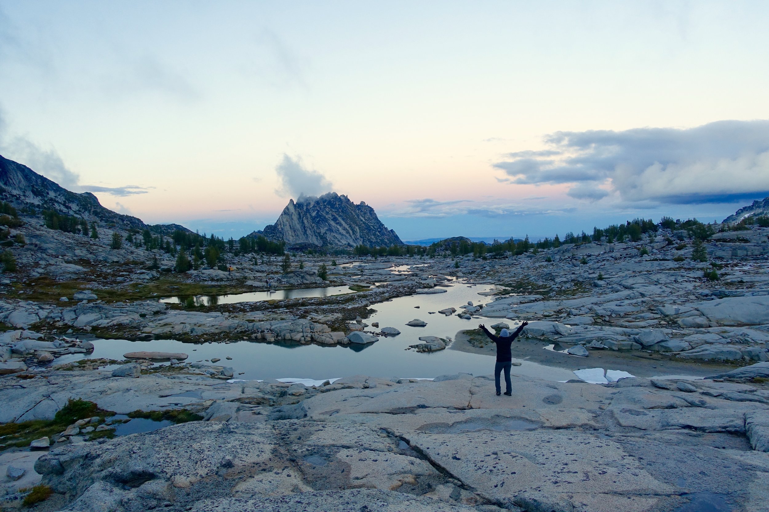
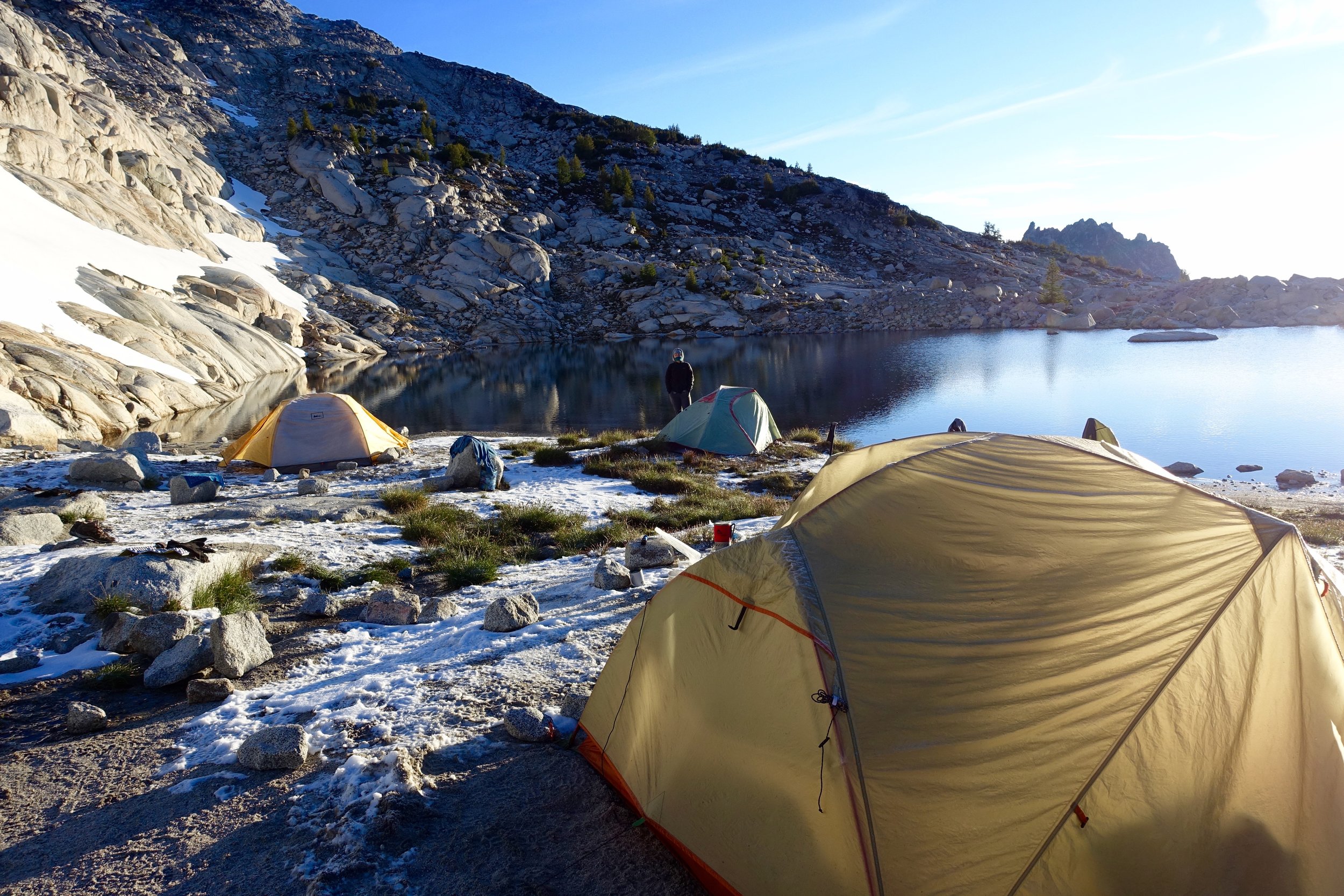
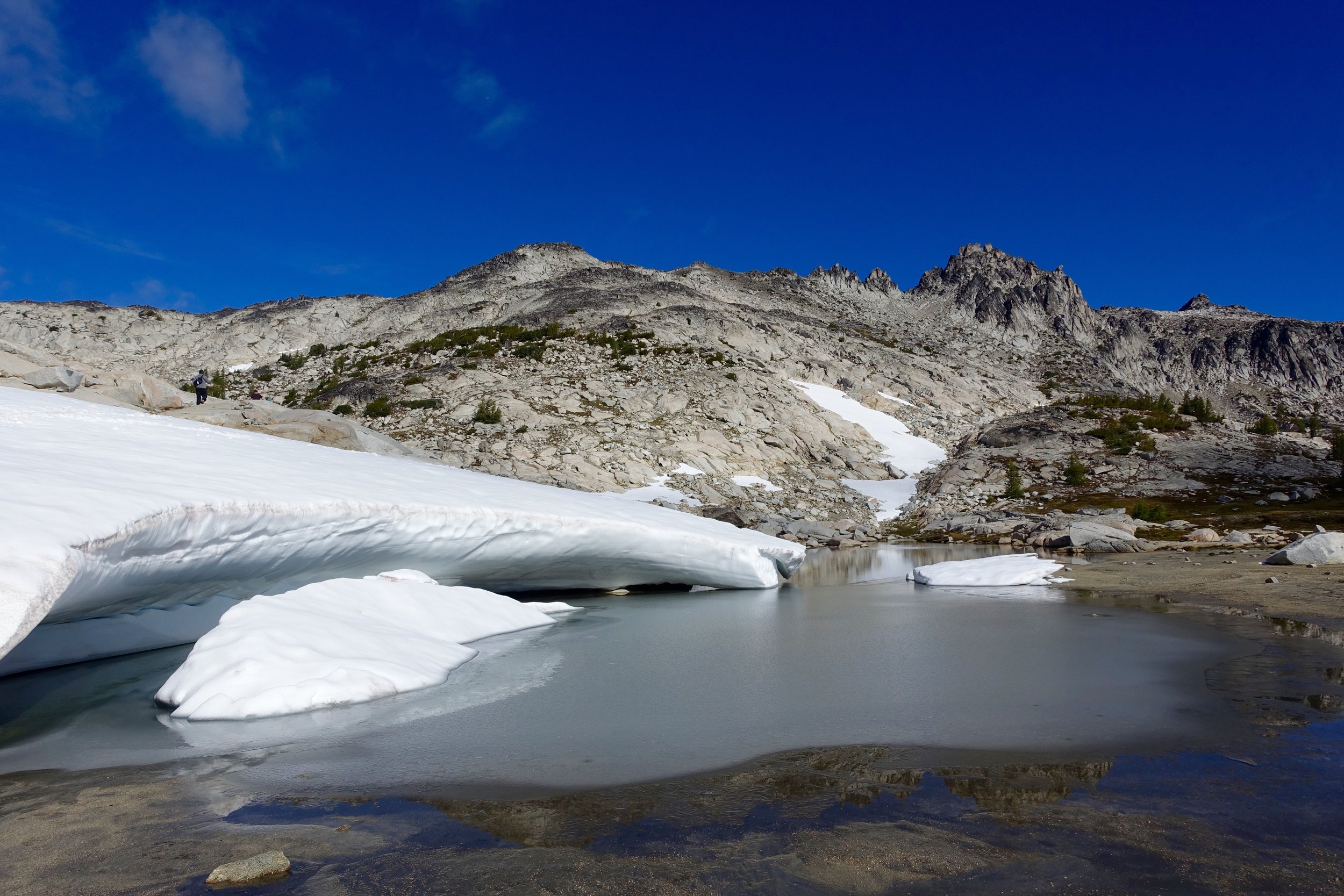
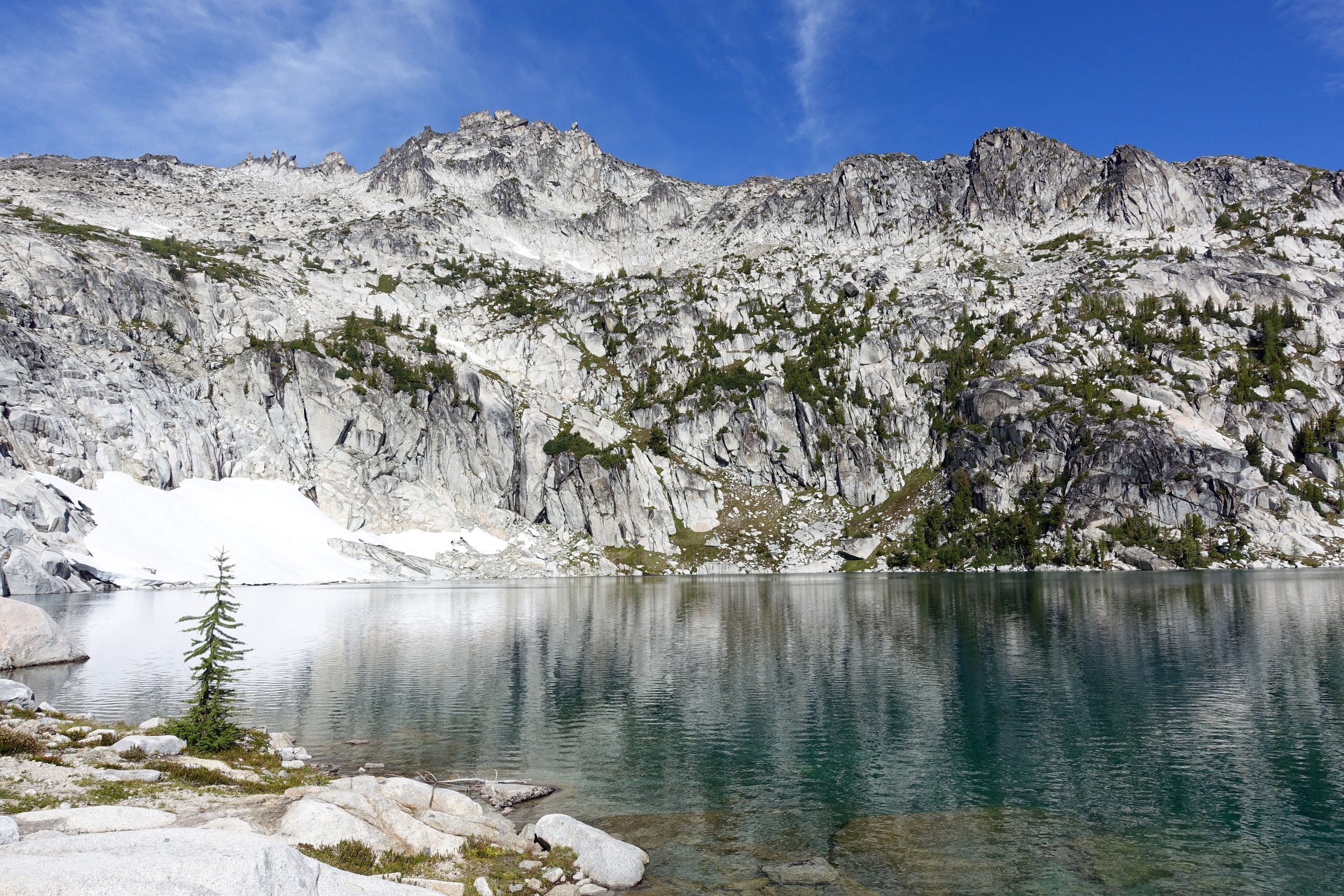
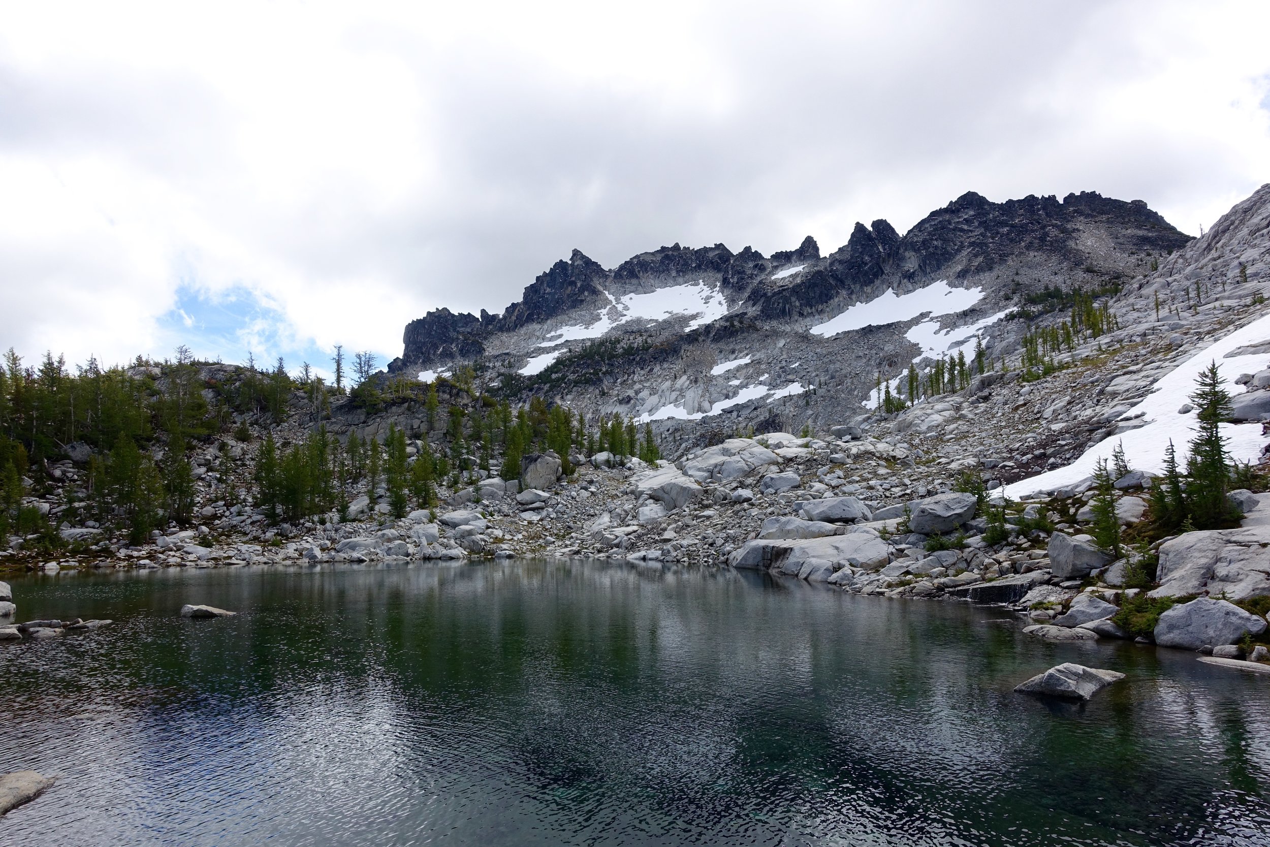
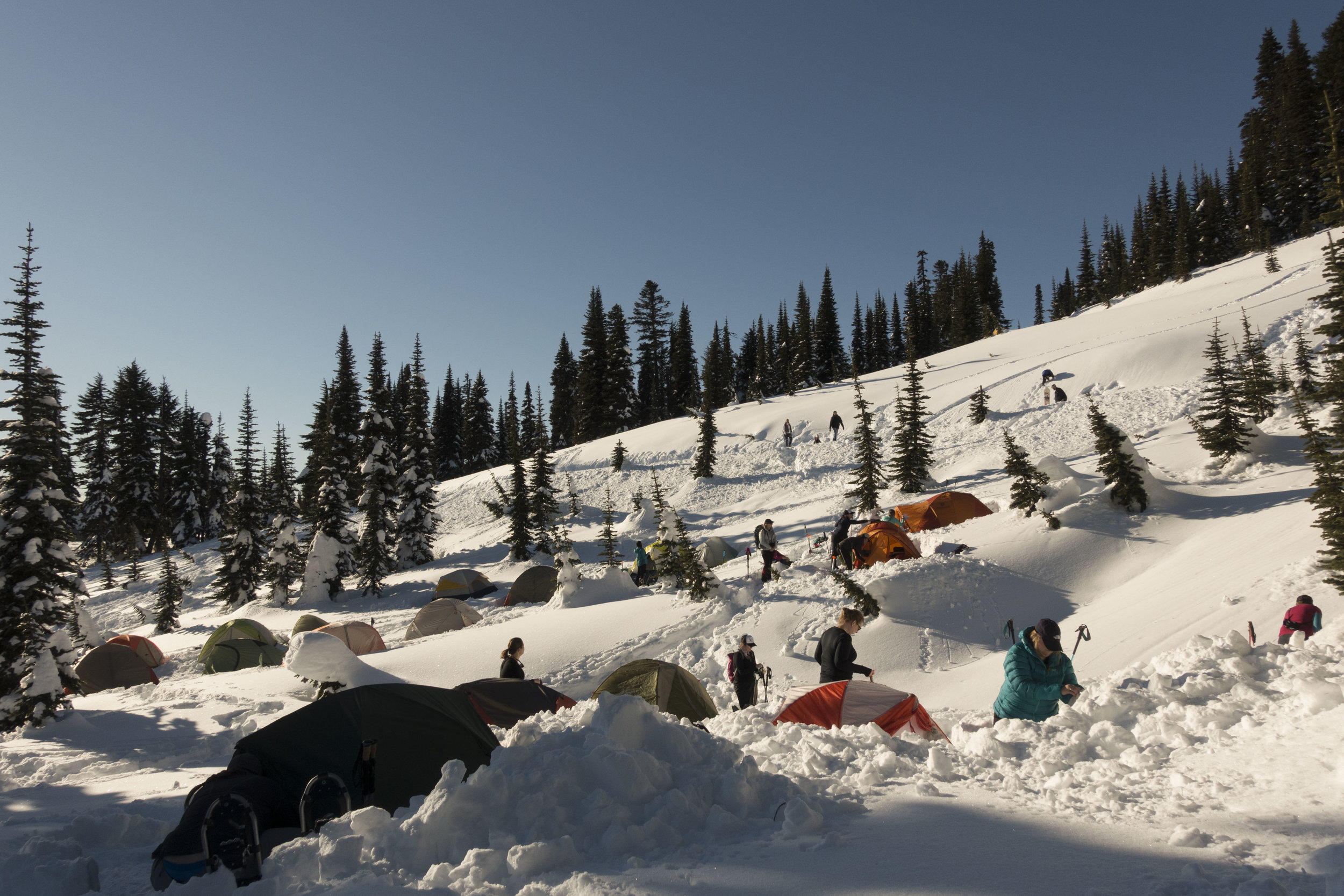
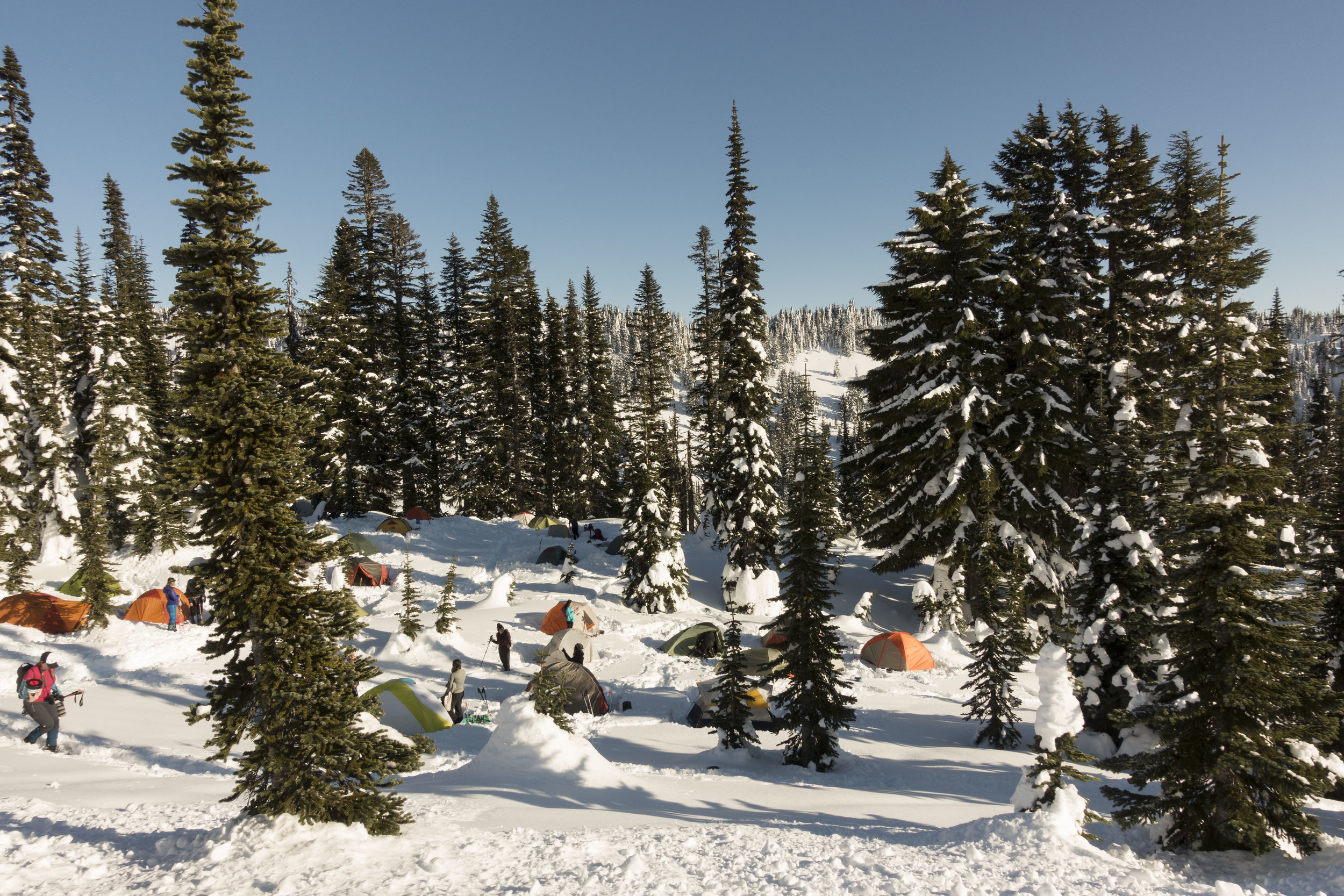
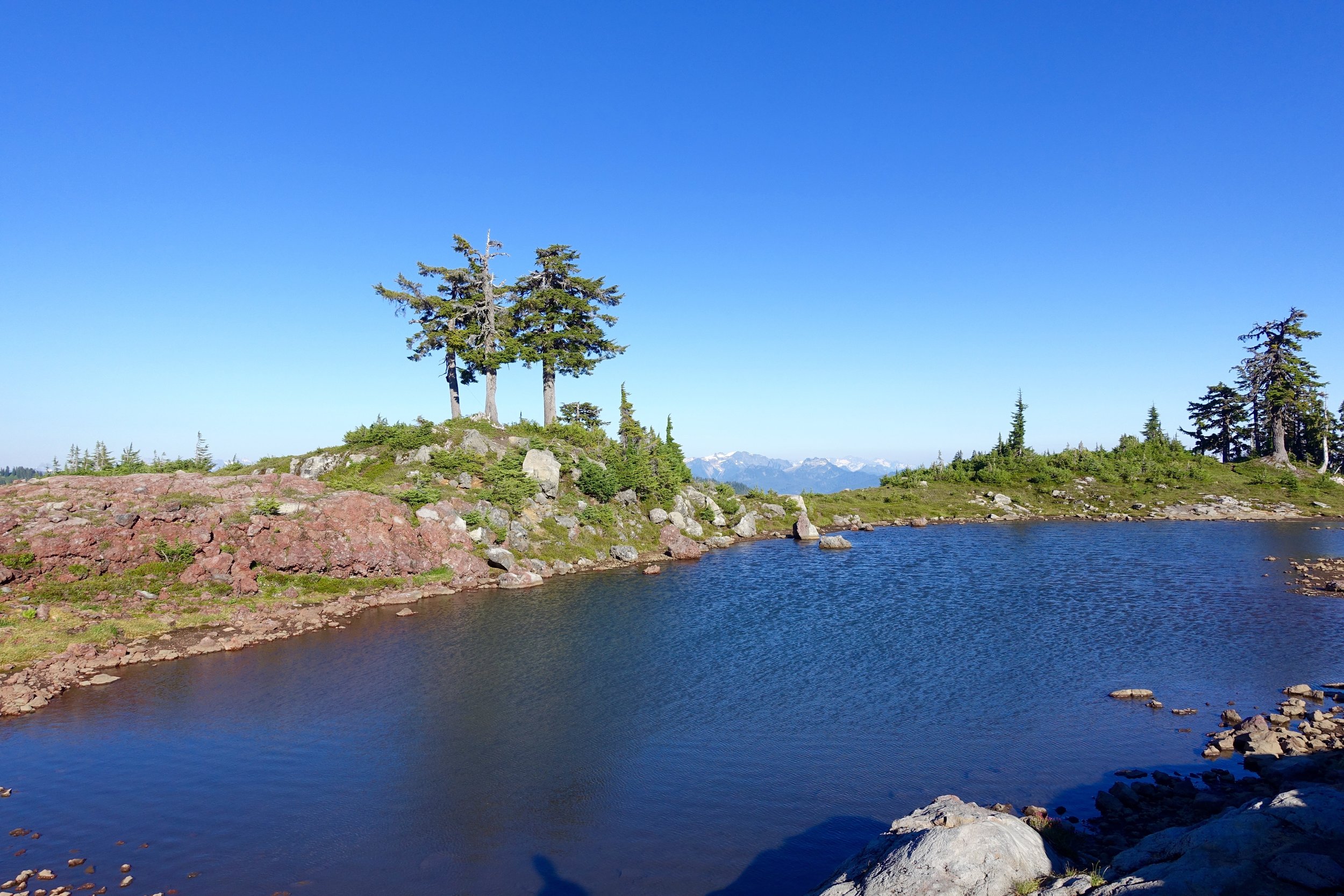
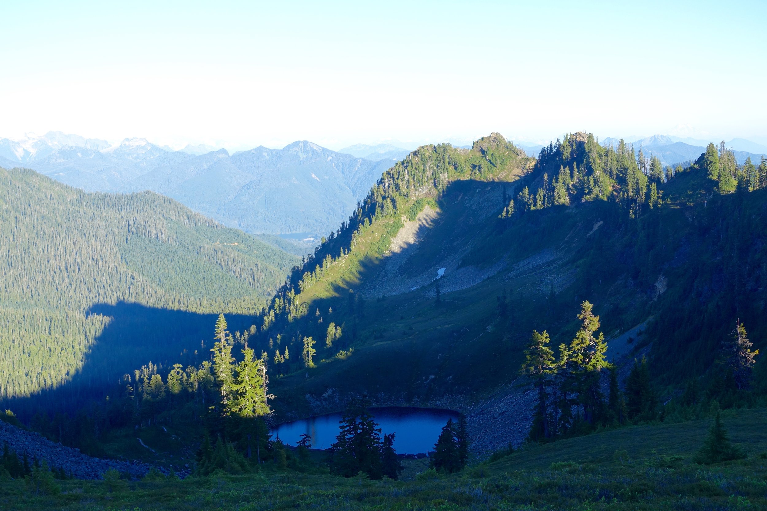
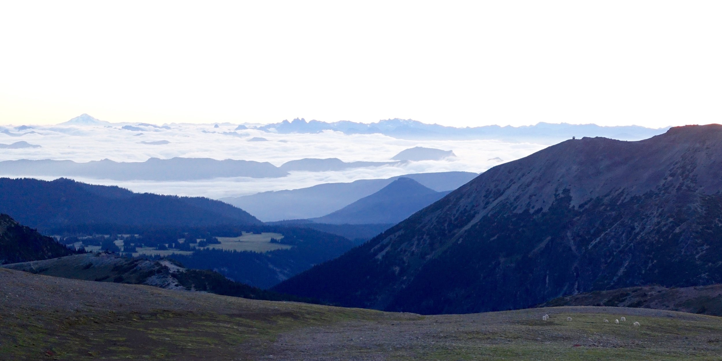
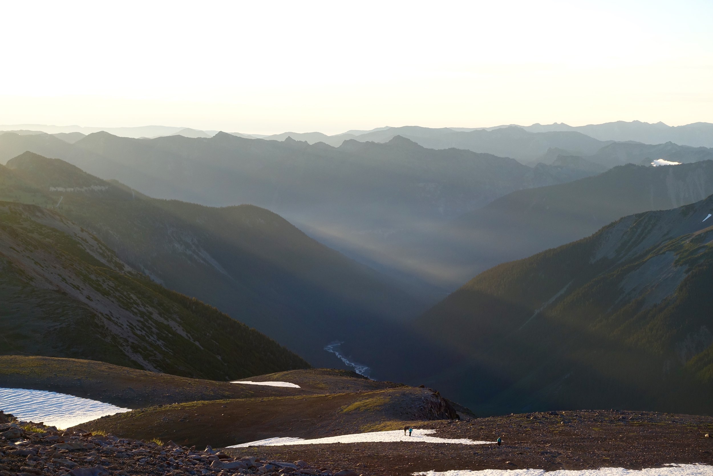
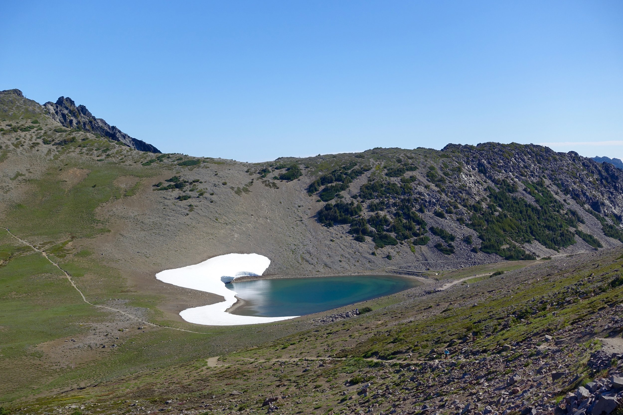
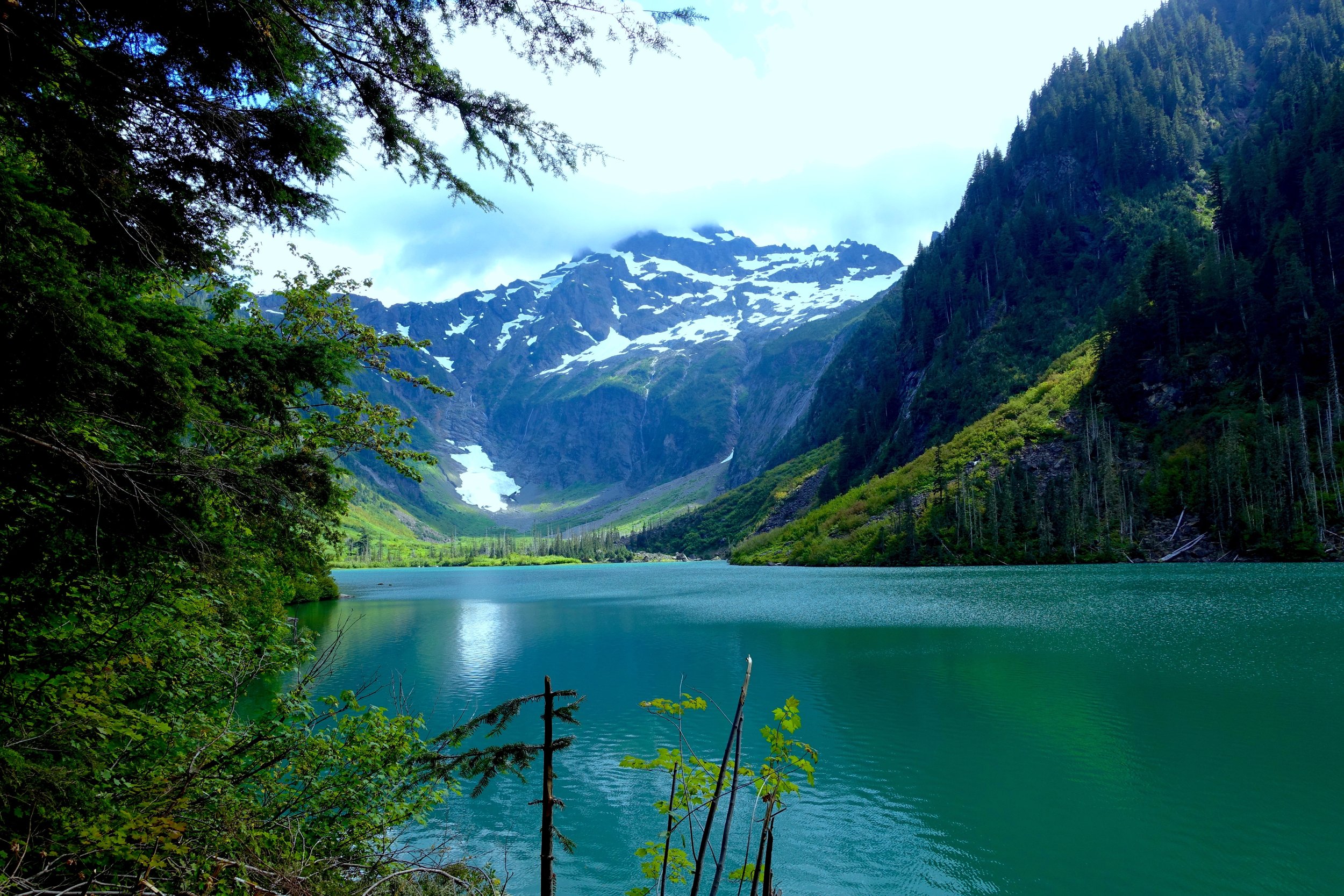
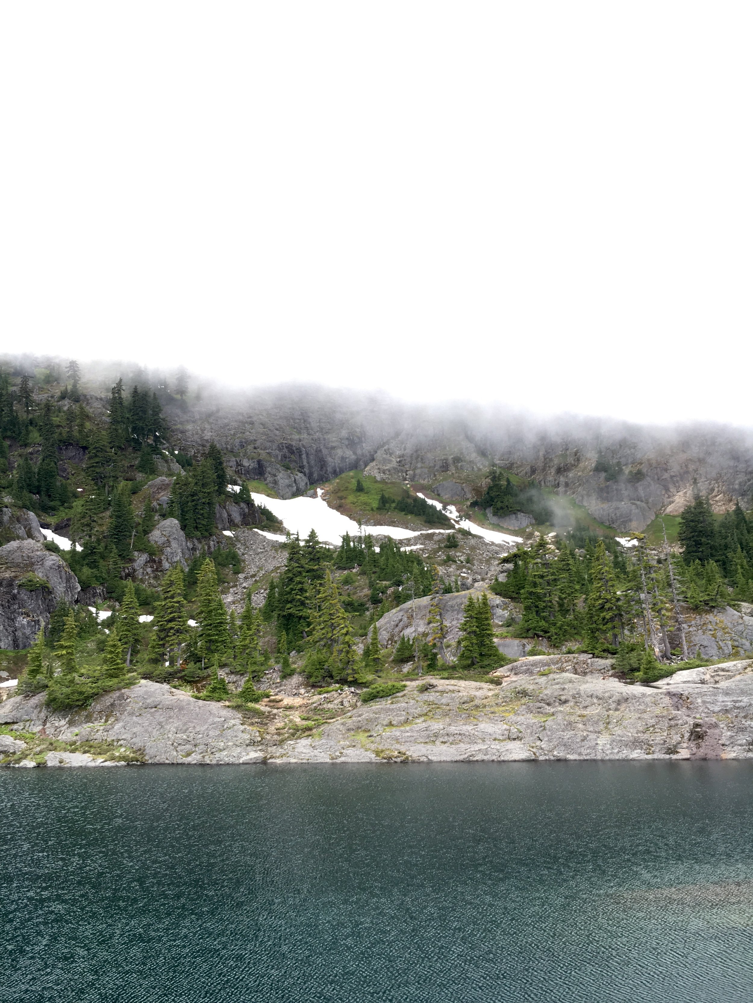
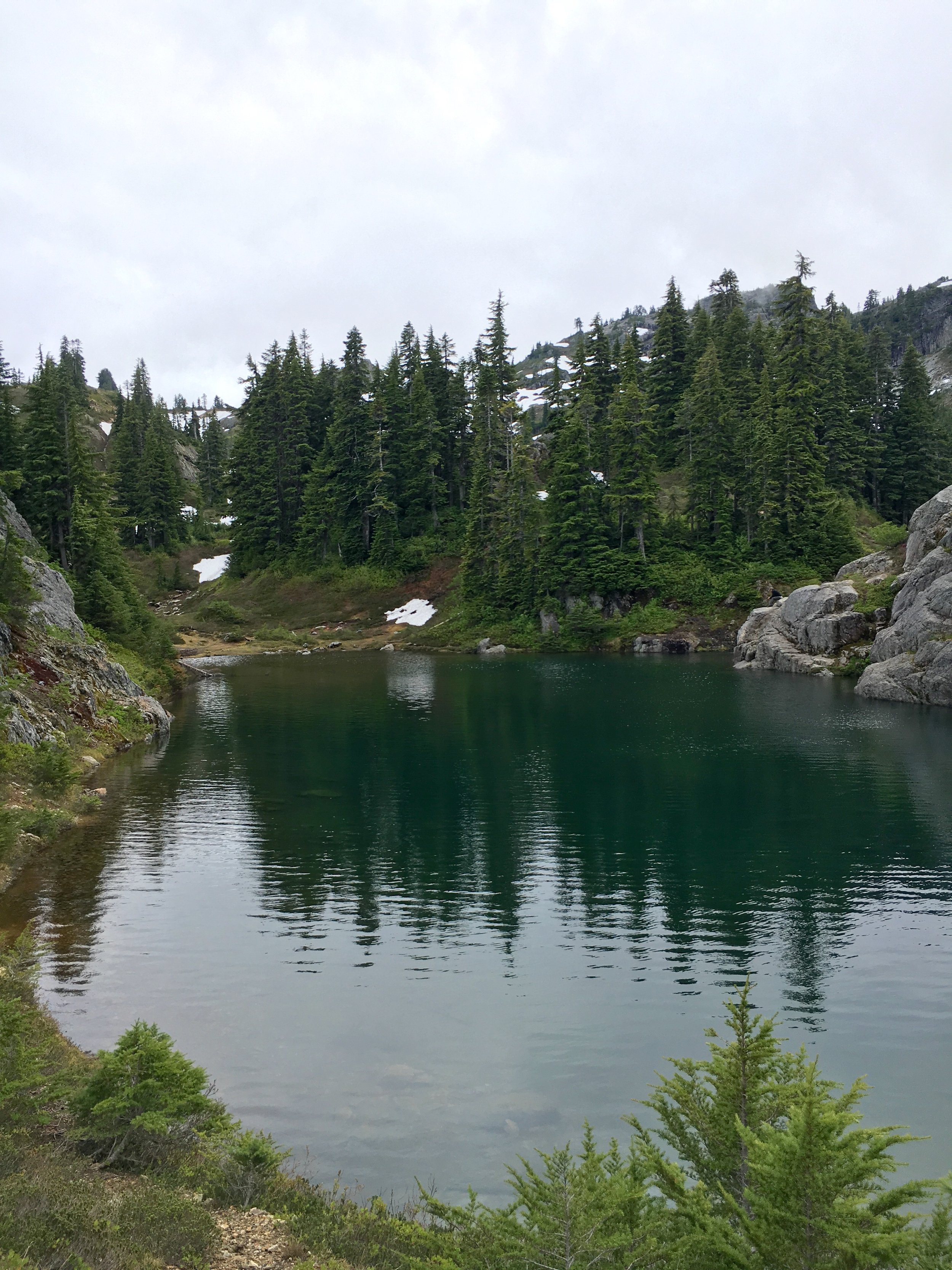
We got to the top and were in white out conditions. It took us about 3.5 hours to climb that 3/4 of a mile. The climb was hard but not as brutal as I thought it would be. It became a lot worse with the slippery snow at the end. When we got to the top our priority was finding and setting up camp to have safe shelter incase the weather got worse. The last the forecast said was 0% chance of any precipitation. The mountains do what they want though. We looked at the map and tried to find camp about .5 a mile in. We found an area that had enough space for us and was on a small lake. We would've loved to camp further in the core but this was the safest route of action with the weather.
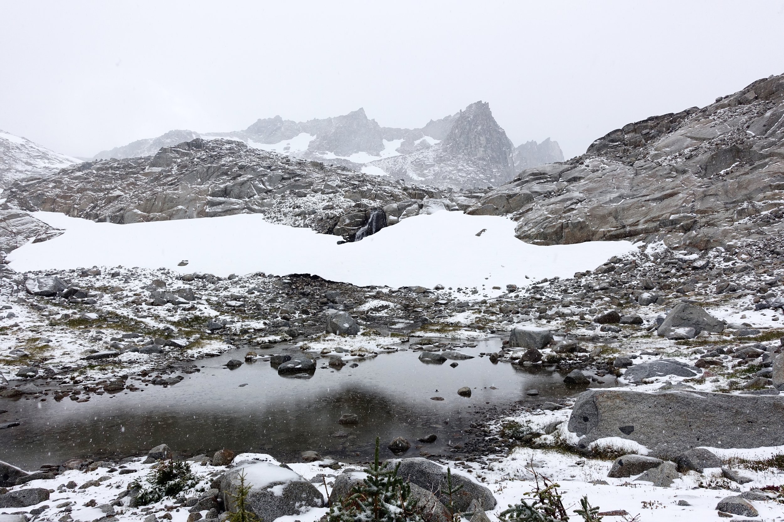
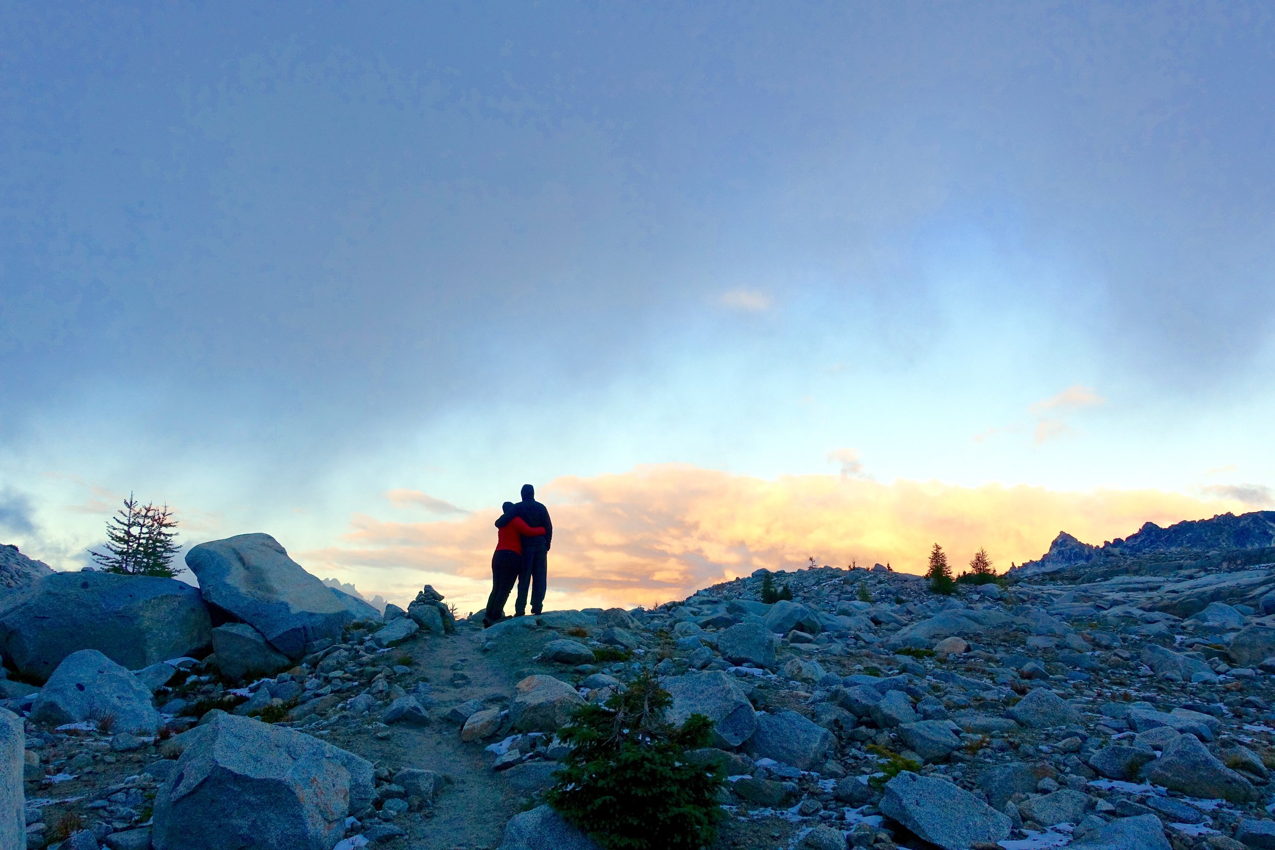
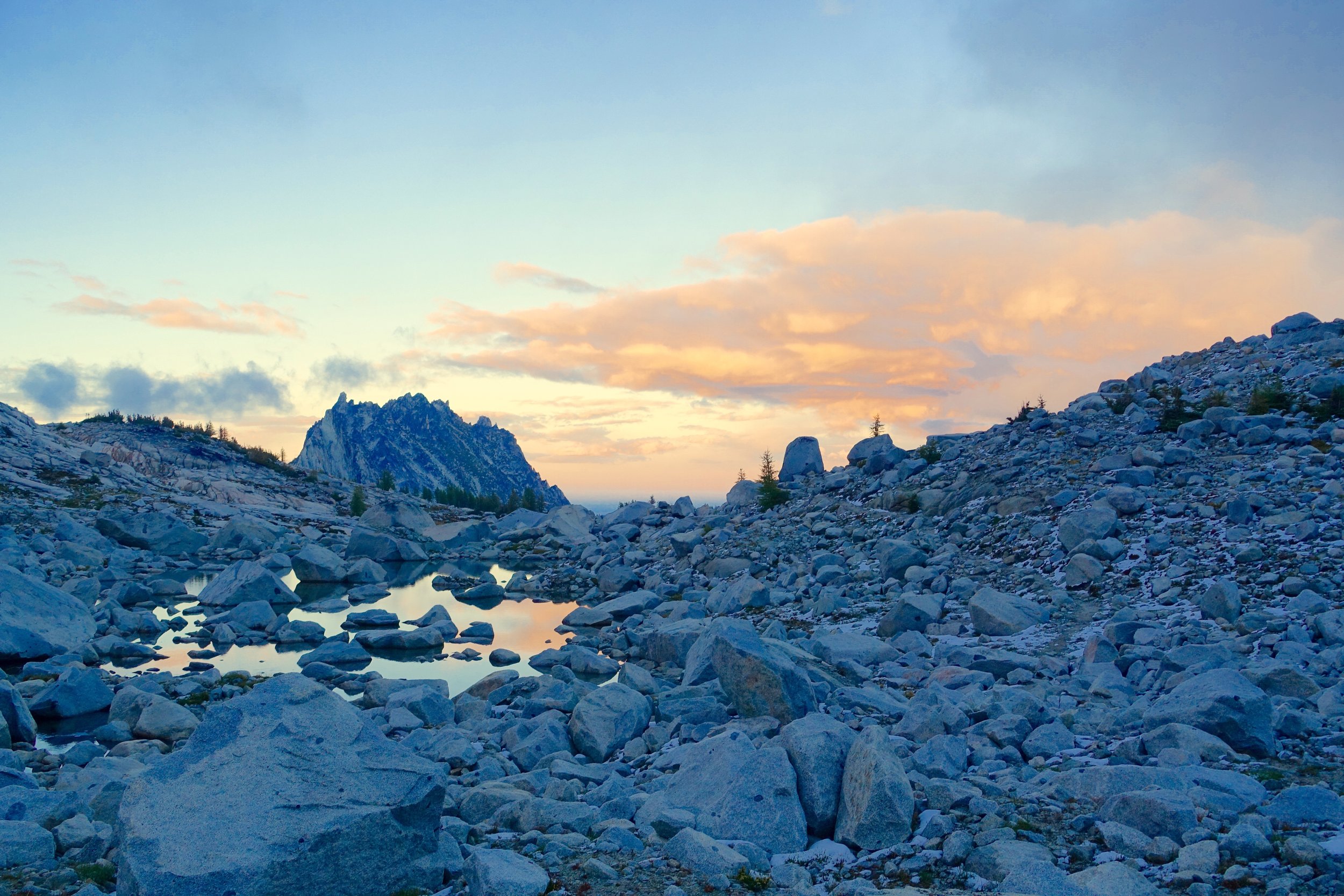
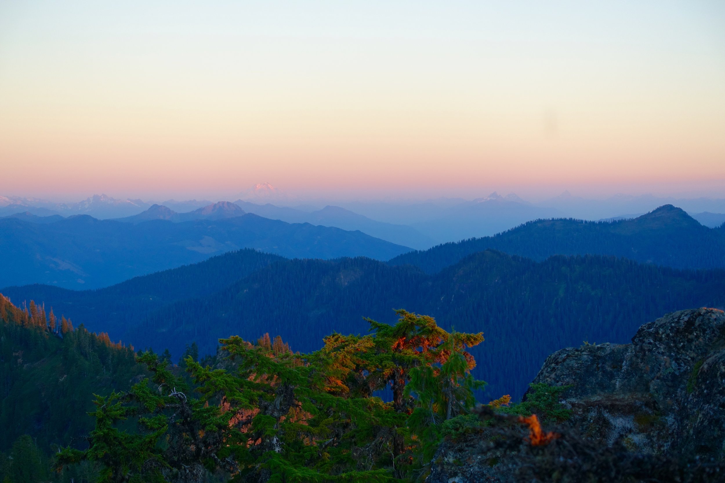
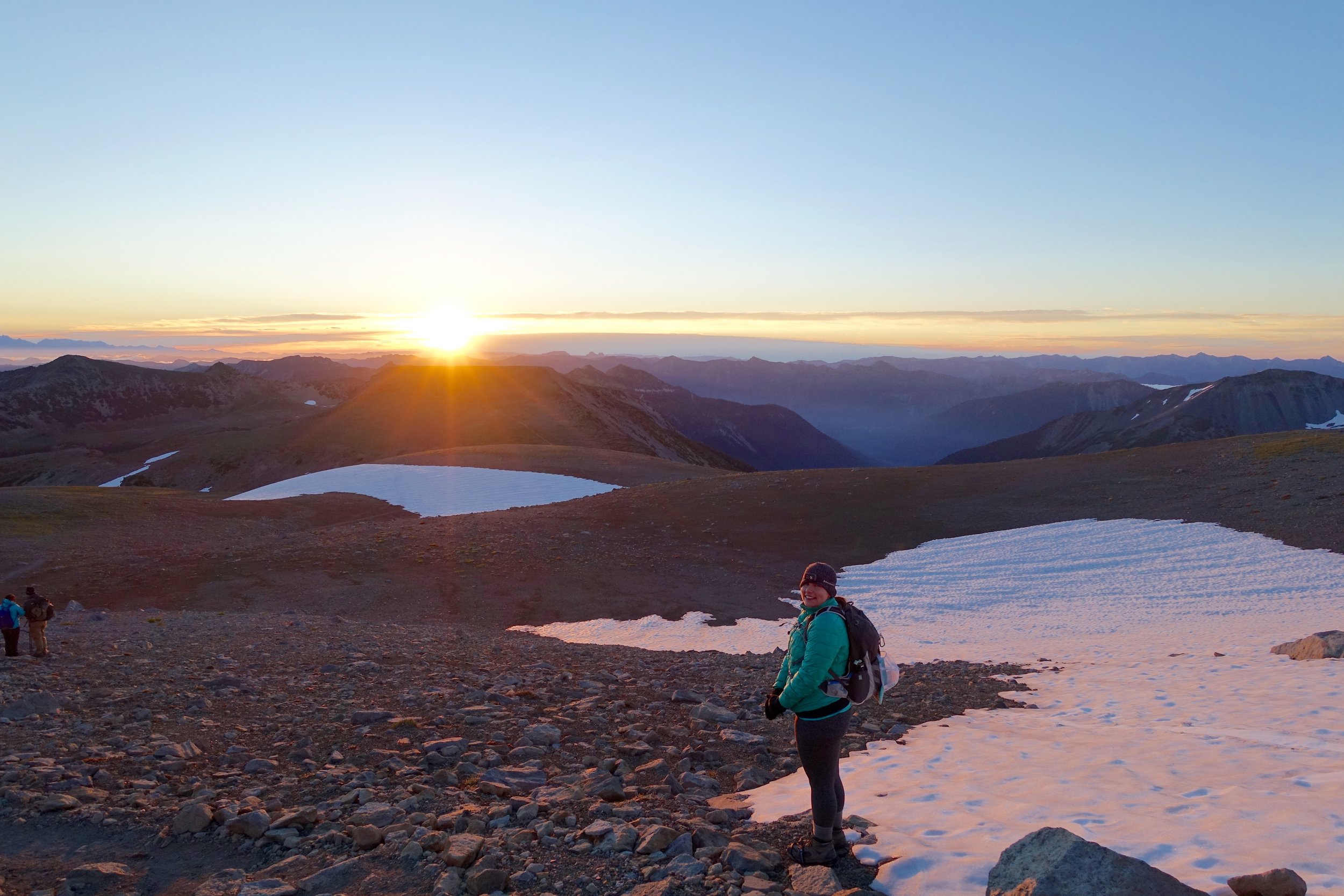
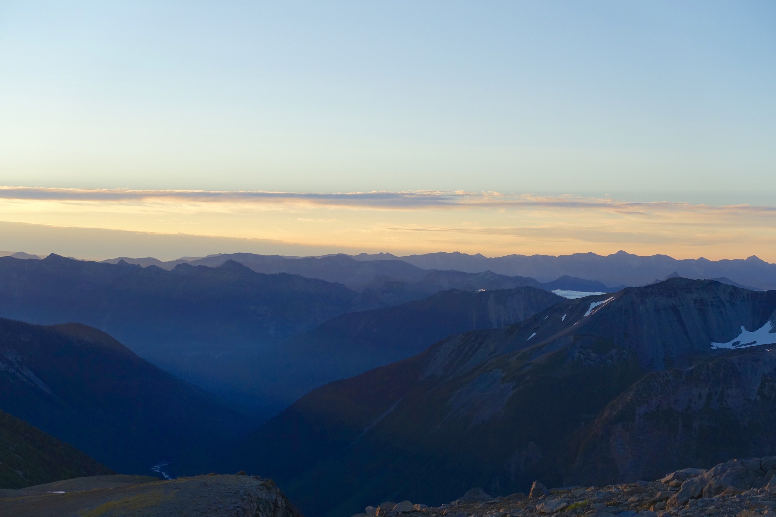
We all napped or rested in the tents for awhile after getting them up and to hide from the cold. We walked out later to catch the sunset over many little lakes. This was one of my favorite moments with how the lighting hit the water and the drama of the landscape around.
After that we walked back to camp, ate dinner quick and then we were all so cold we went in our tents by 8:30. By the way, hot toddies were a saving grace on this trip for staying warm at night with not being able to have fires. This night I donned 4 tops, 3 pants, and 2 socks. We also tried the water bottle trick that is boiling water and putting it in a Nalgene and sleeping with that. It did help warm us up a lot! The temperature had to be in the 20's that night. I woke up a few times shivering painfully.
Day 3:
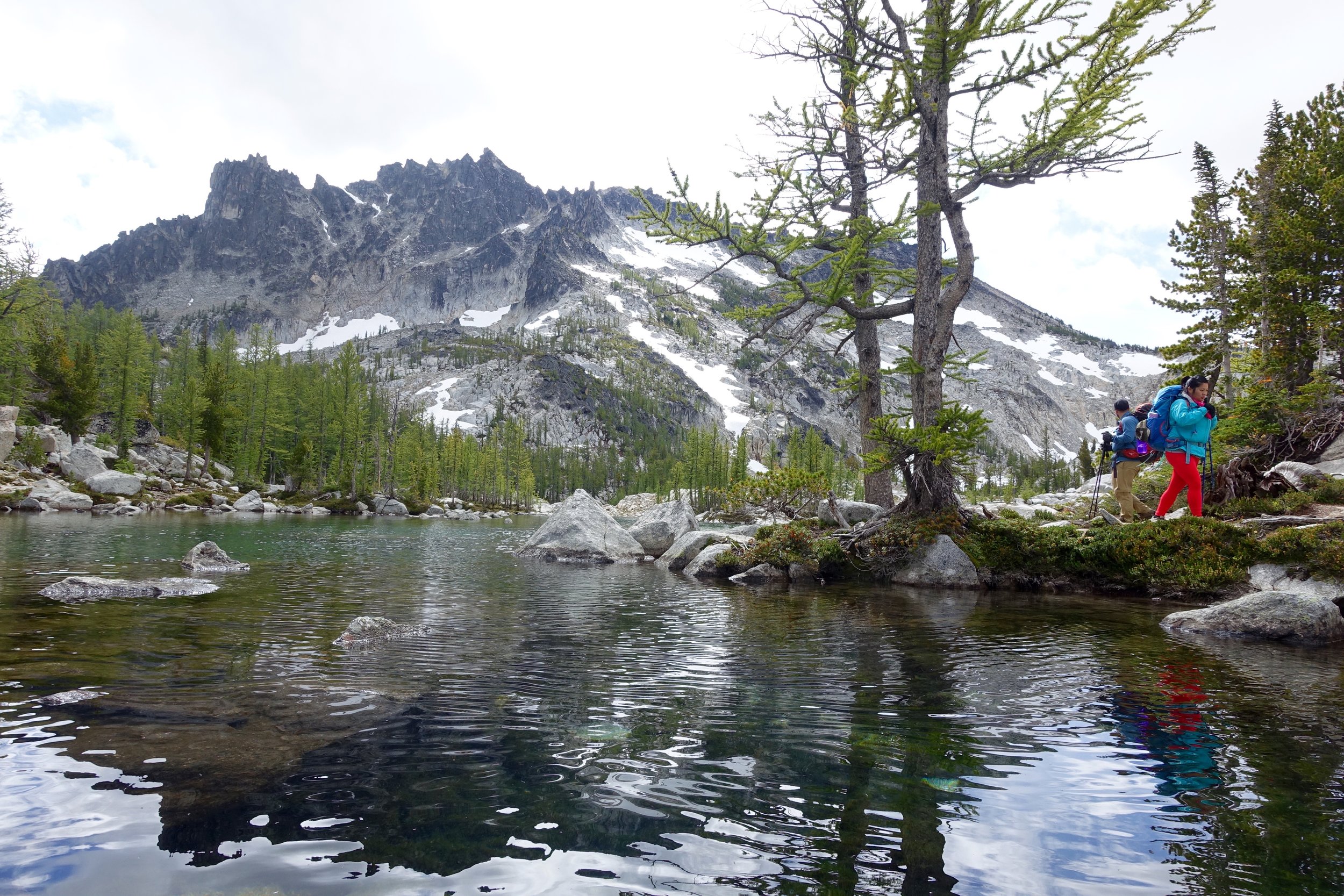
We awoke to beautiful sunshine this morning that warmed us up quickly. We made more egg burritos, coffee and slowly packed up and made our way down through the core.
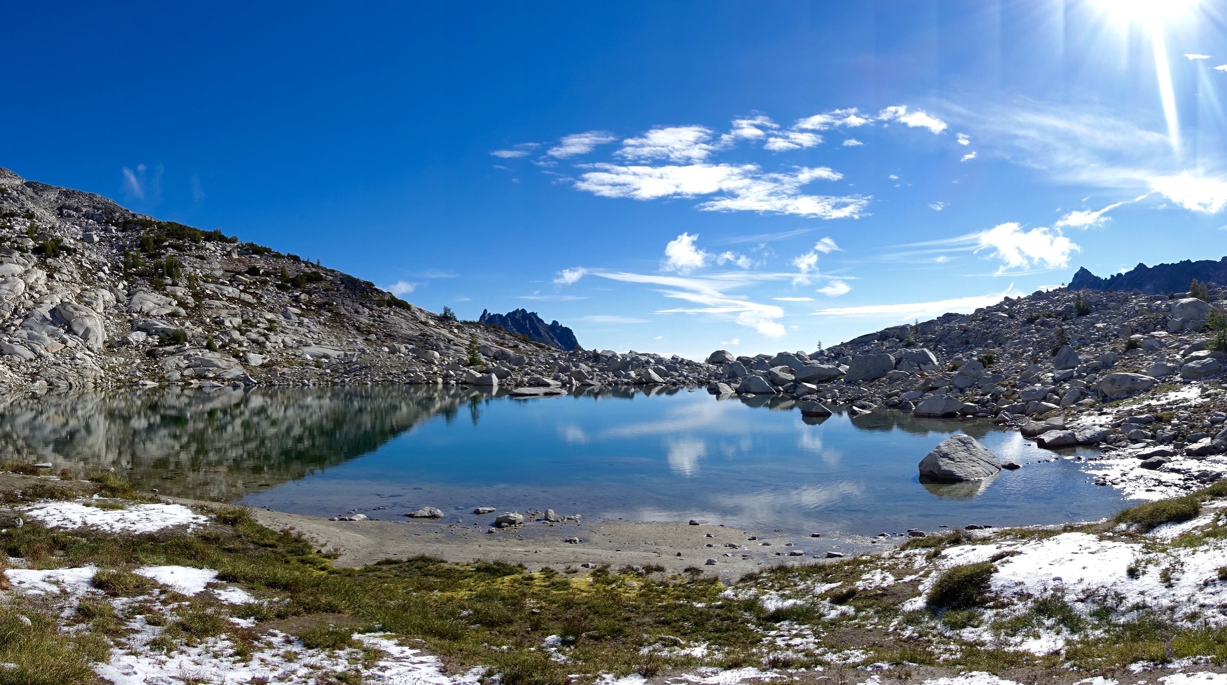
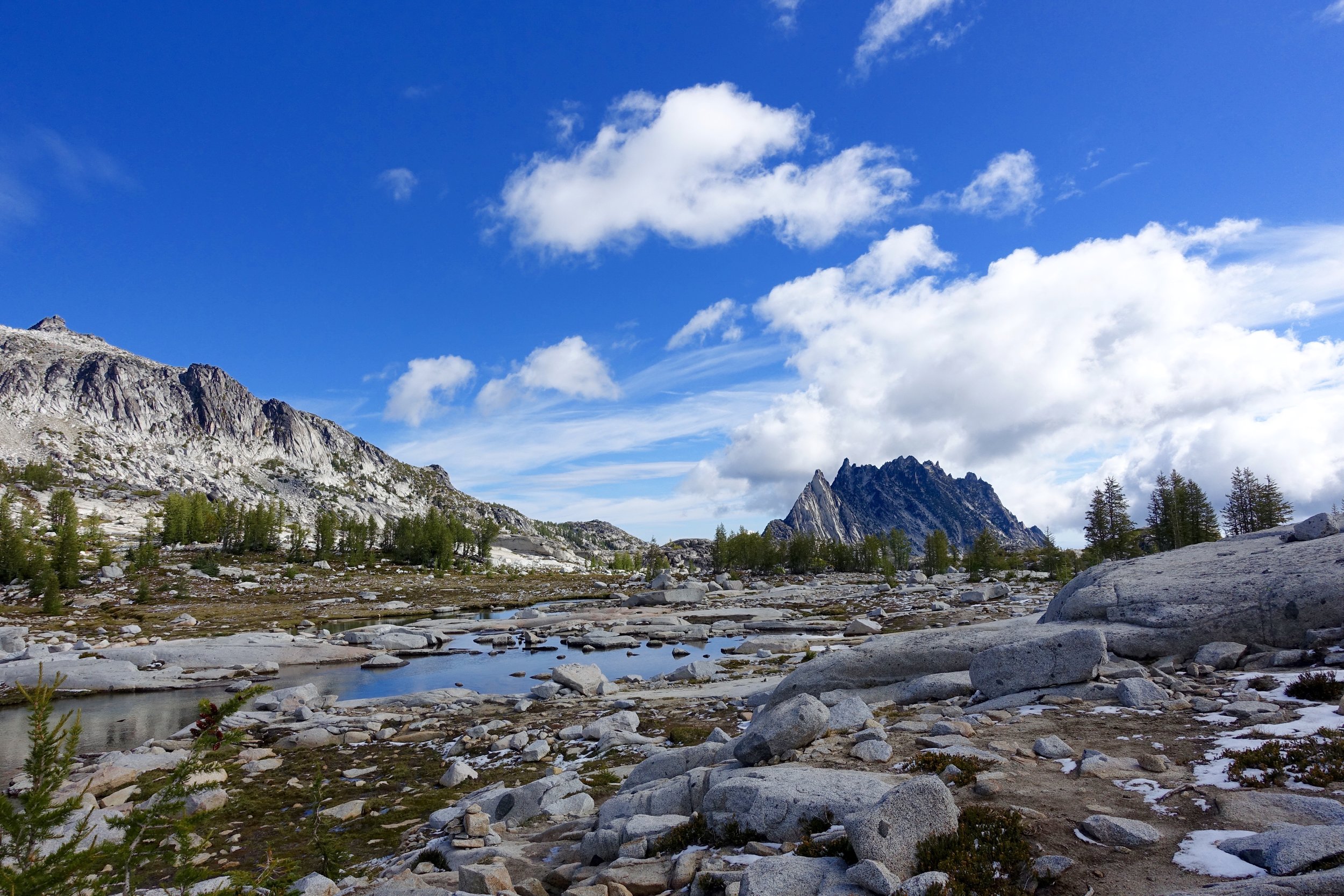
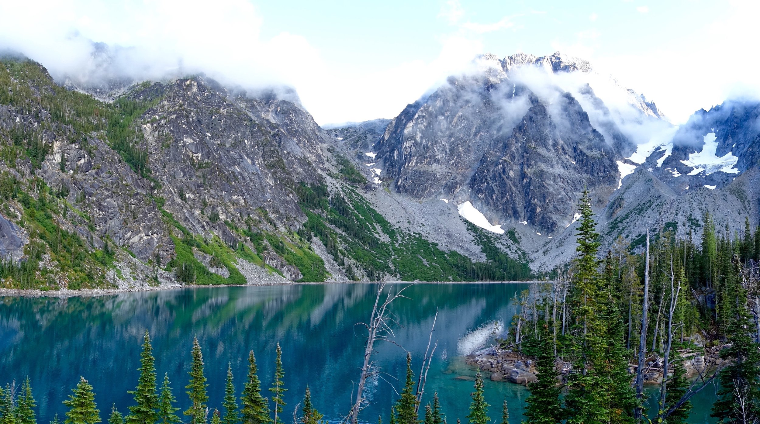
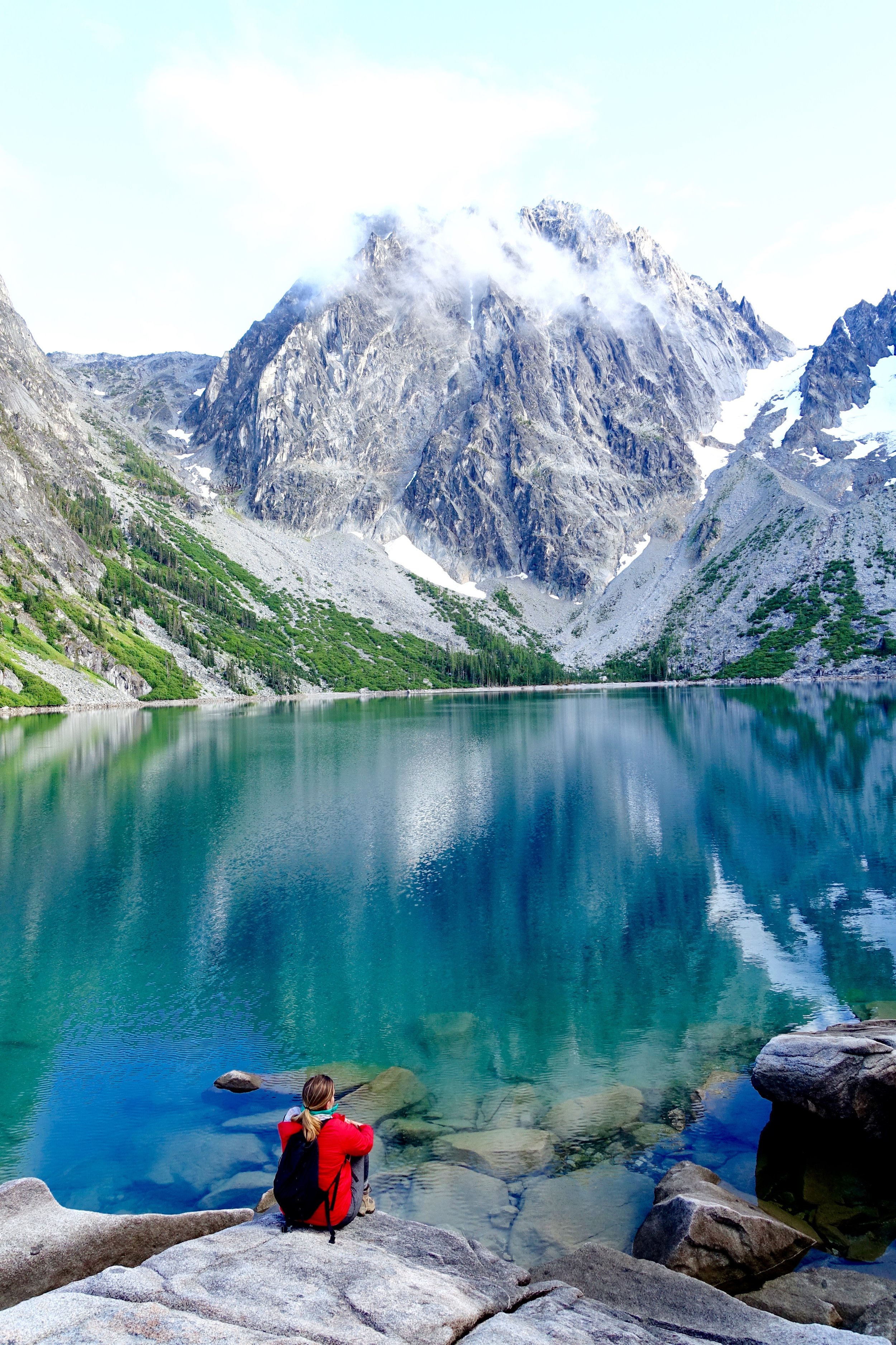
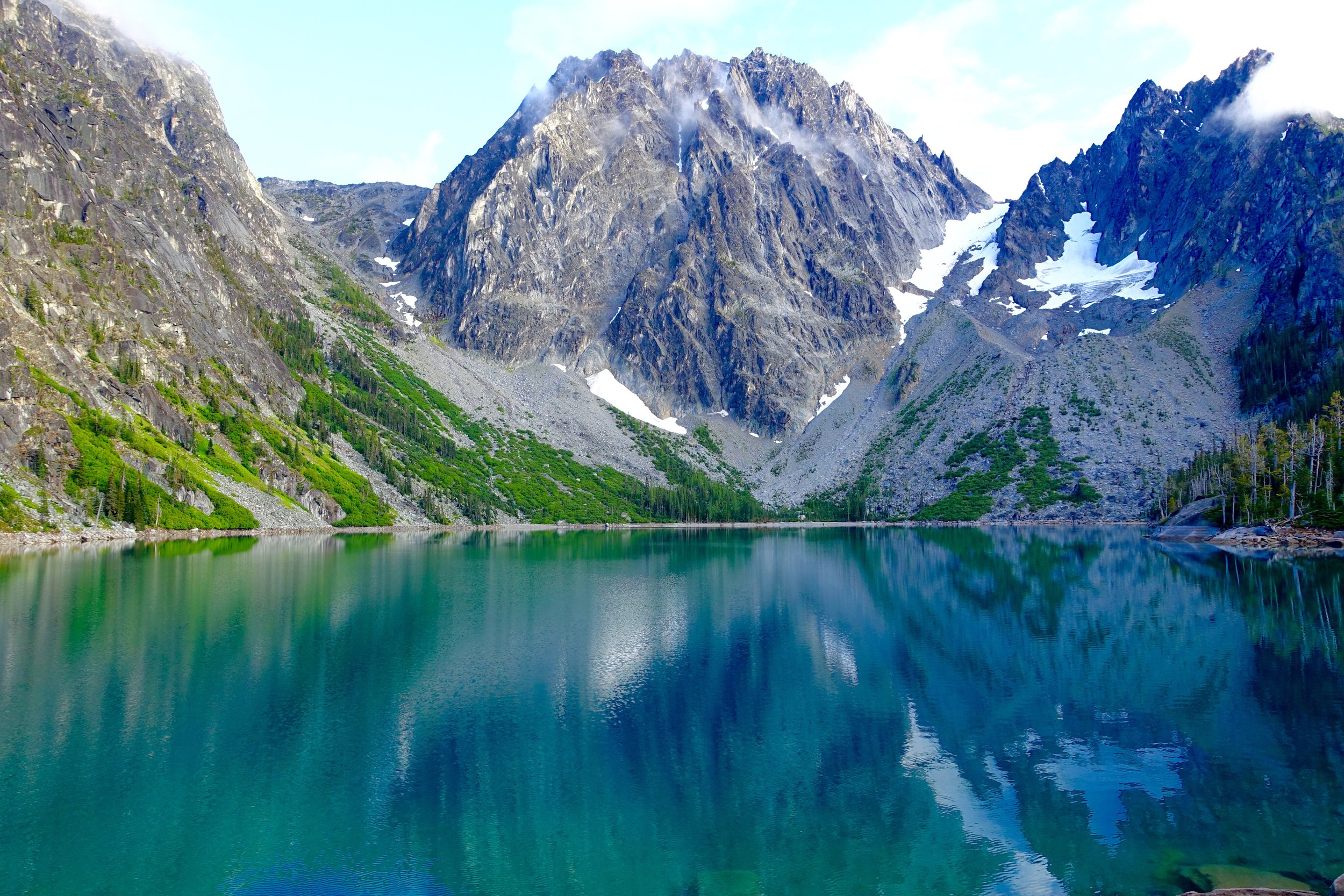
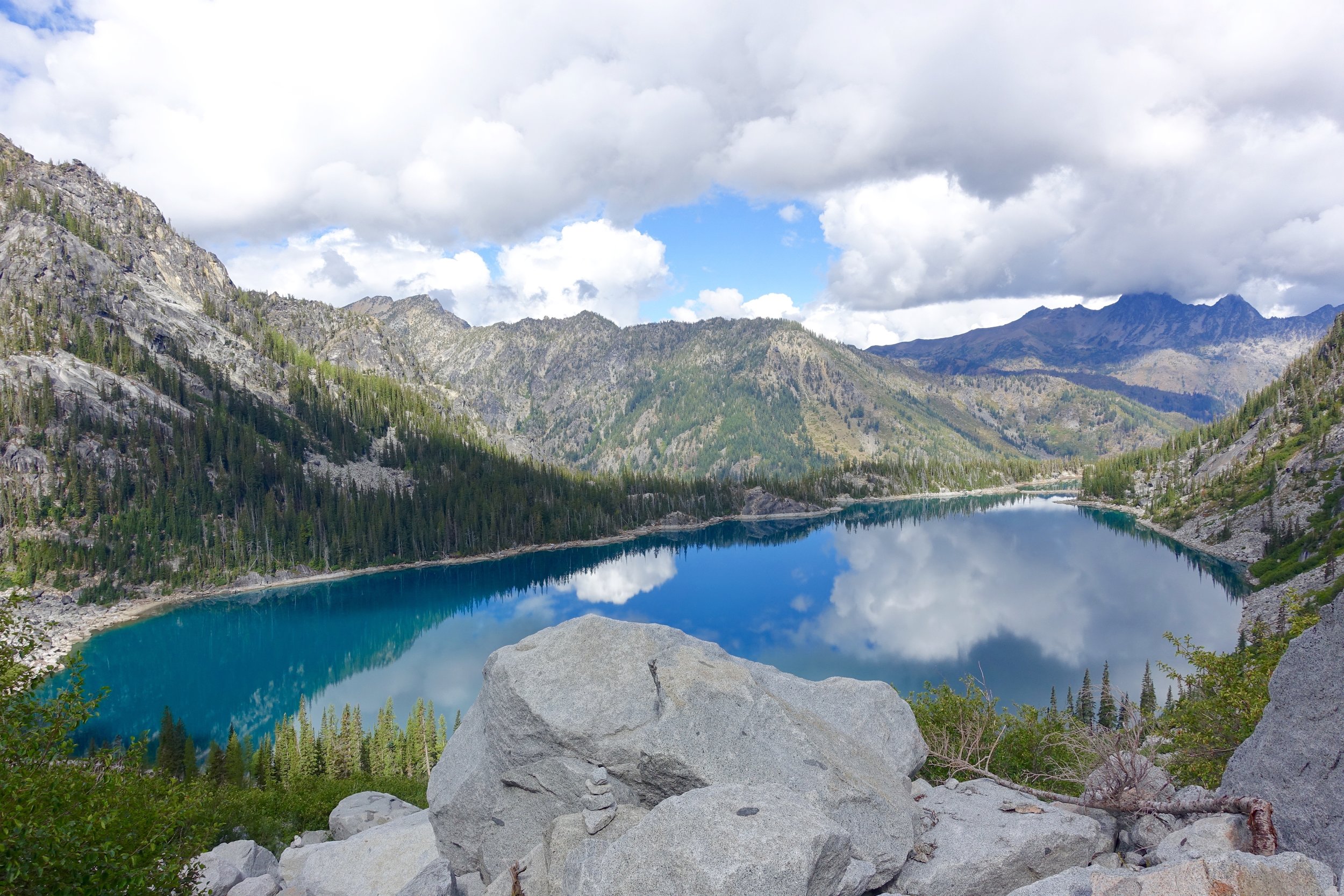
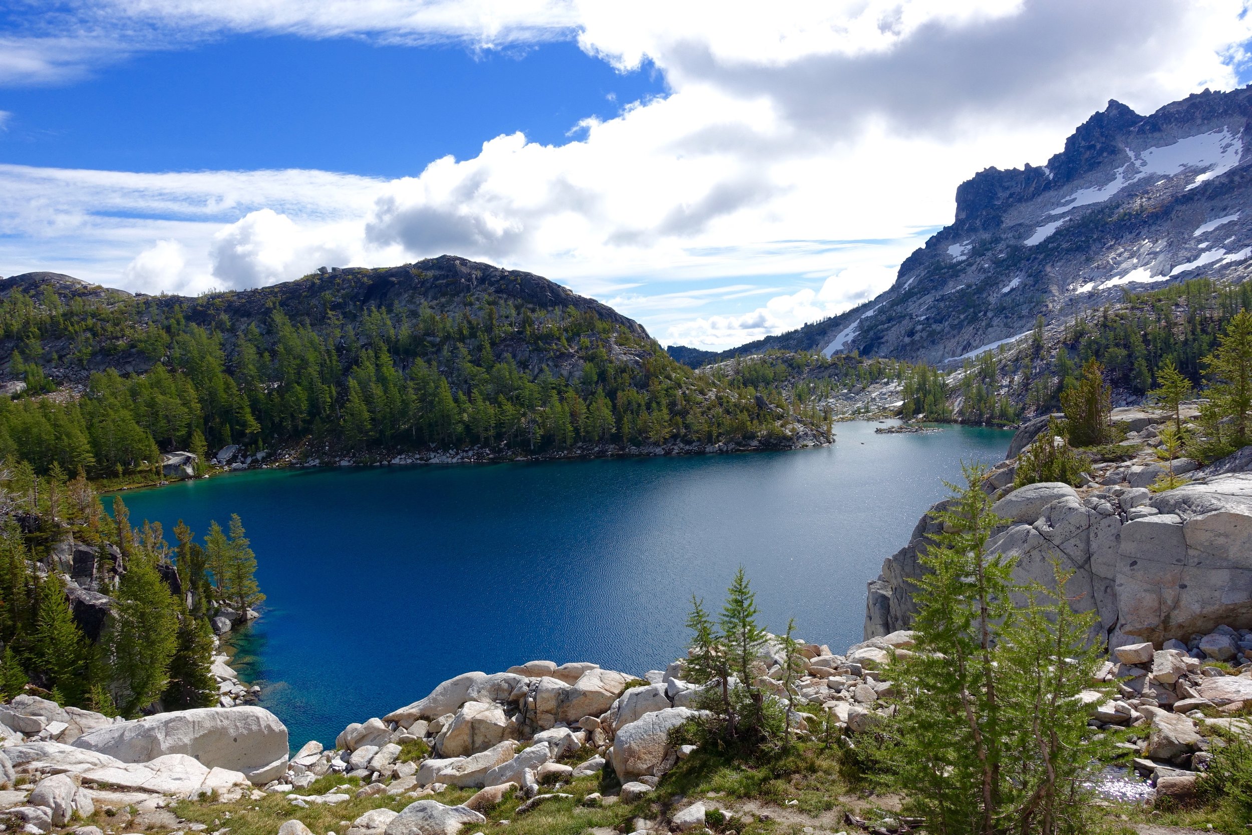
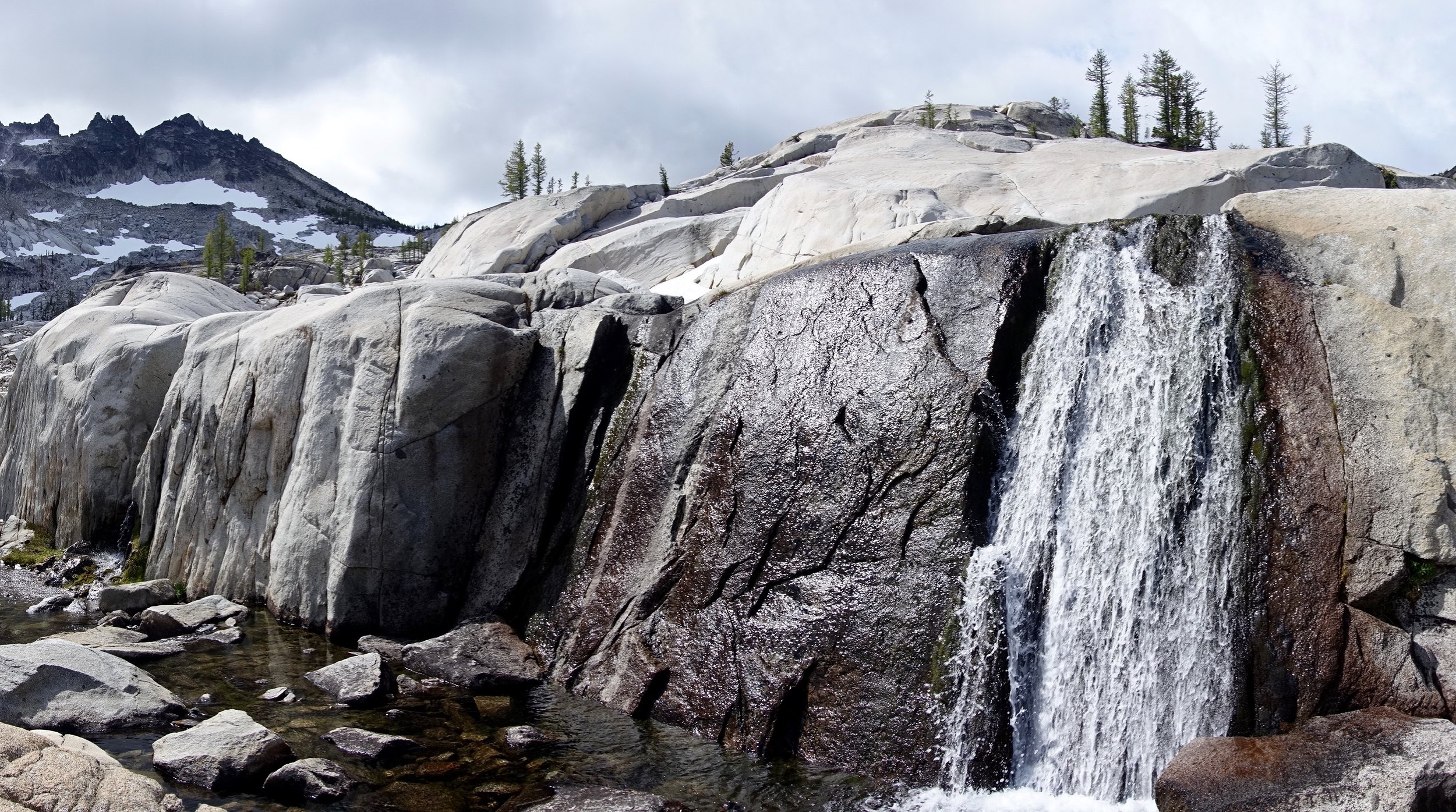
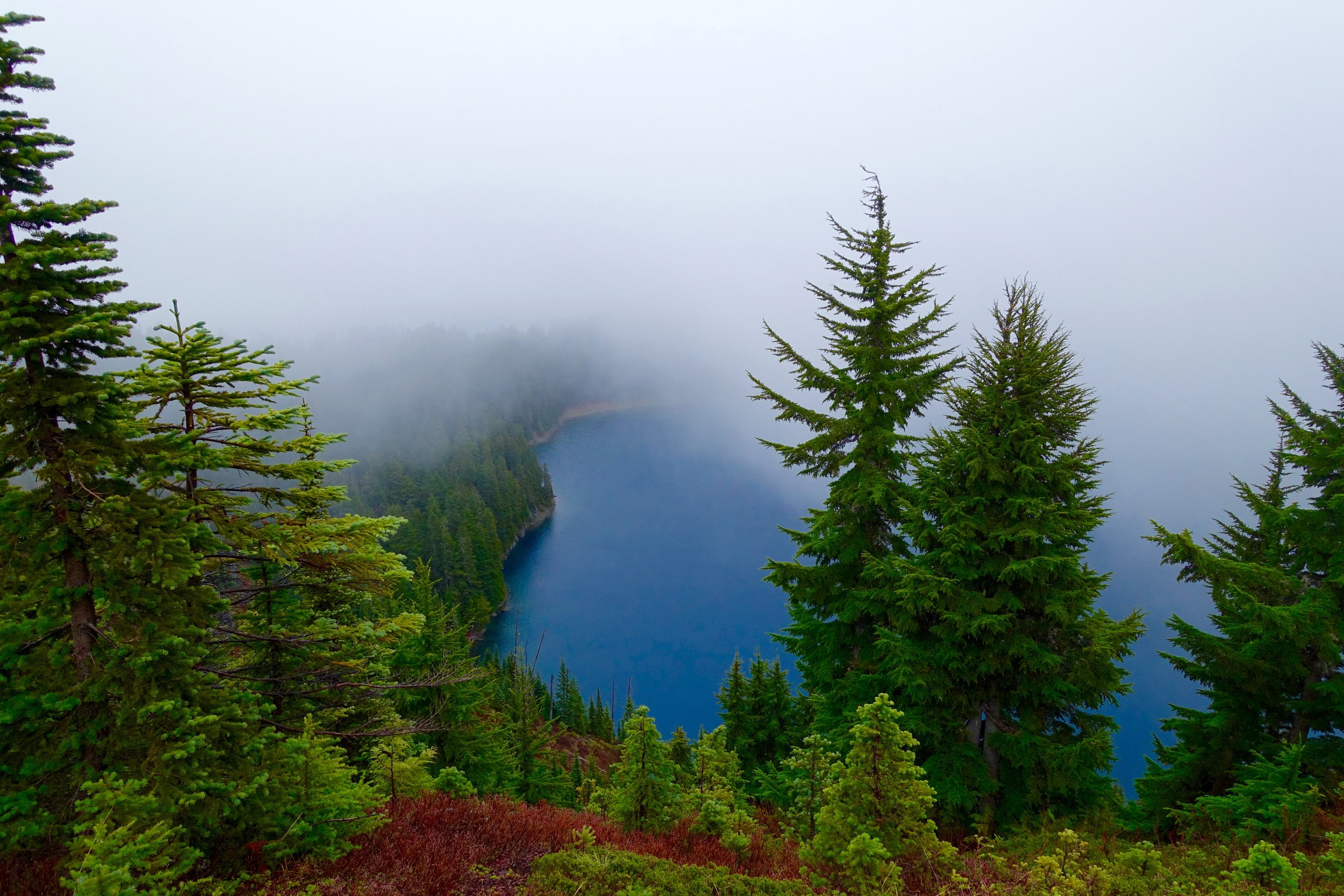
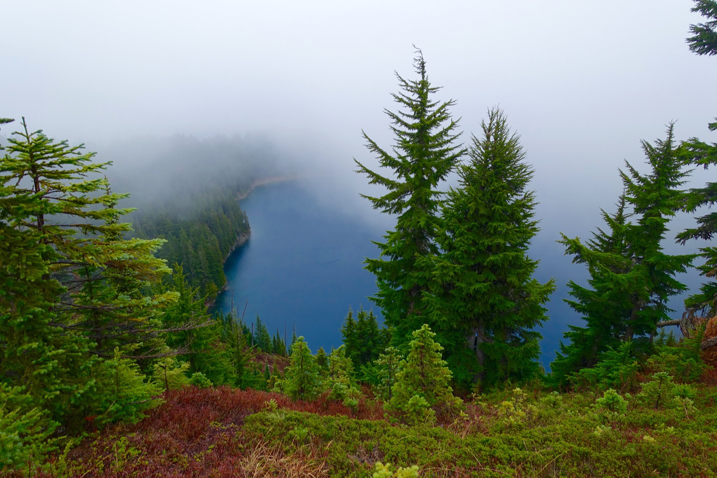
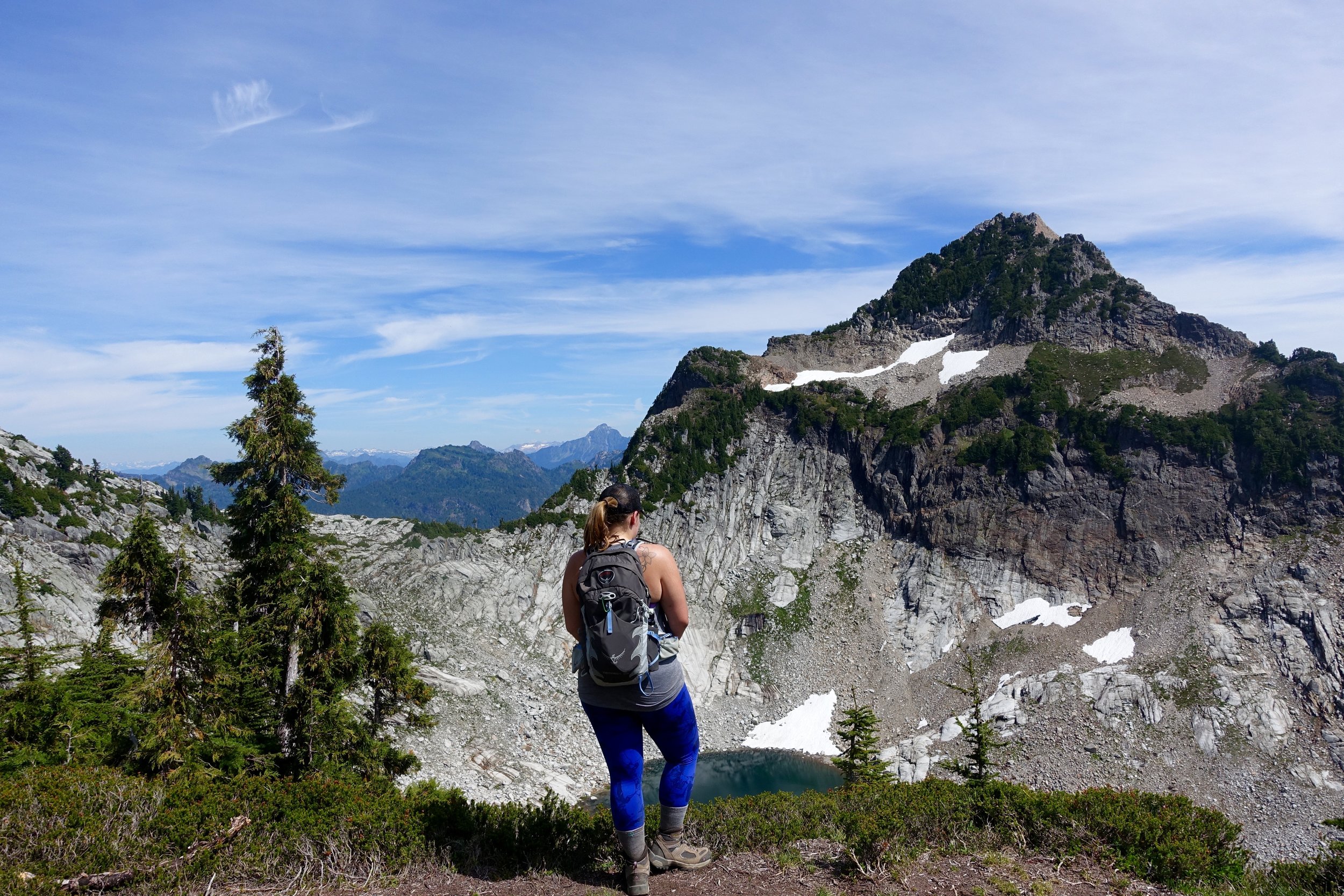
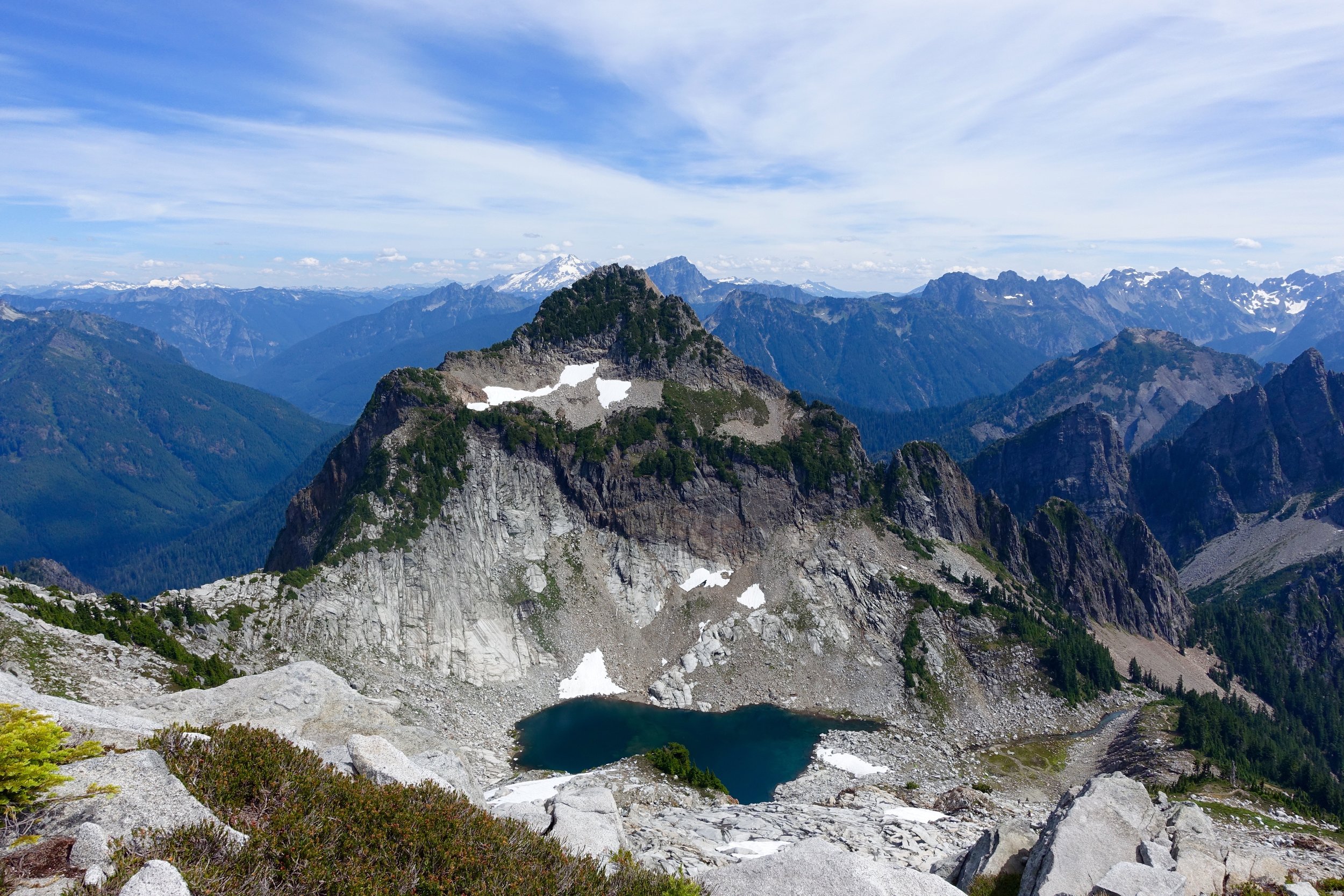
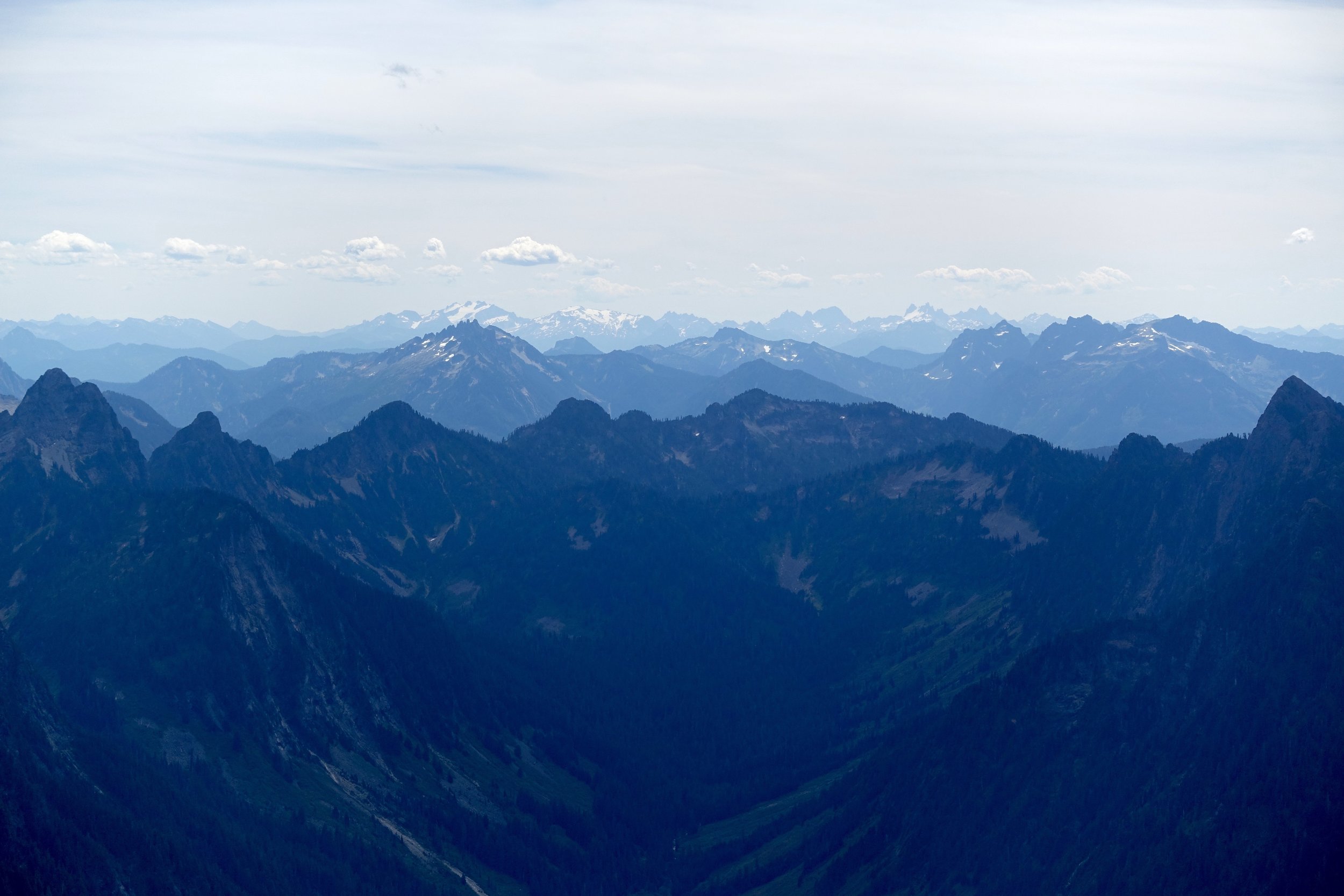
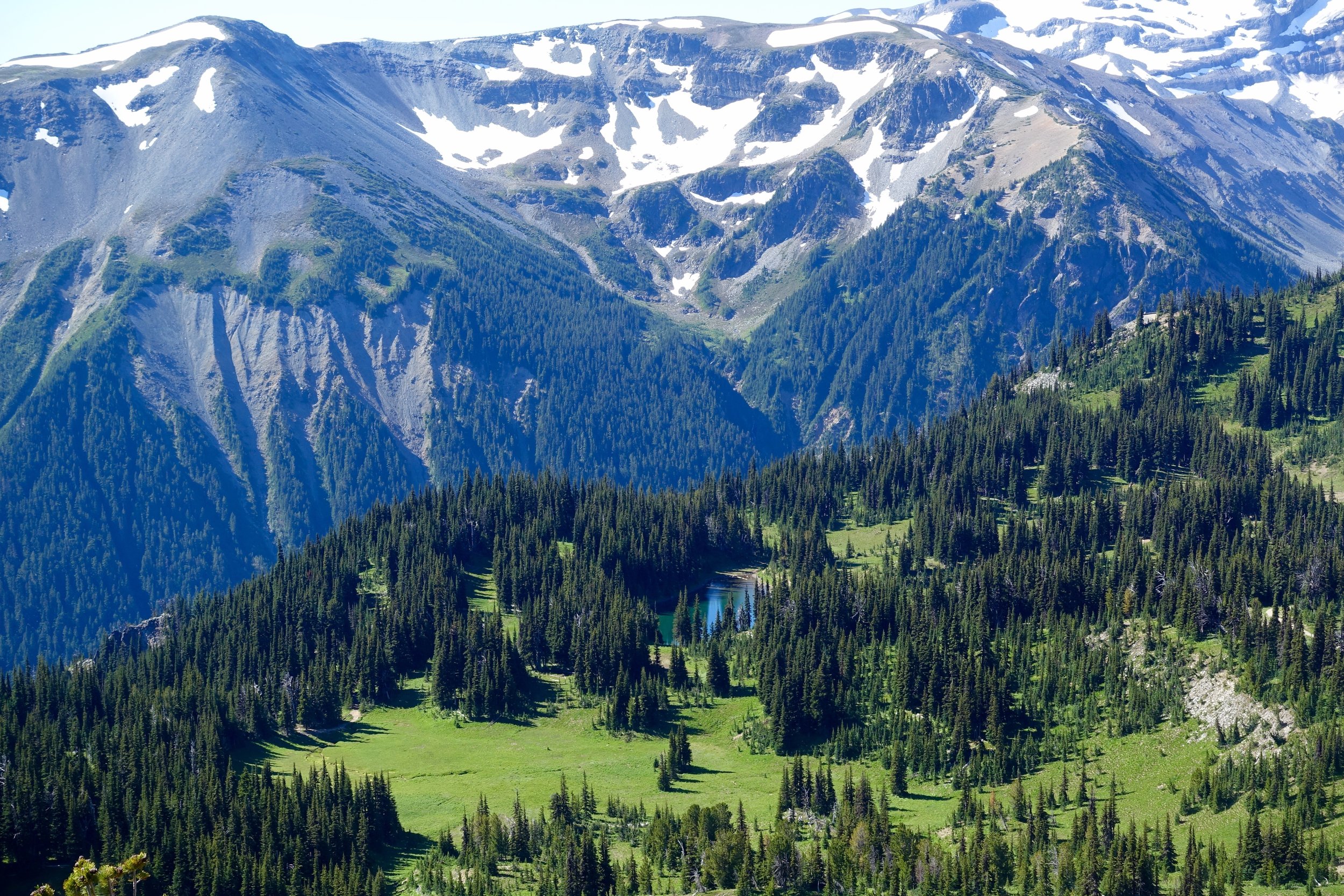
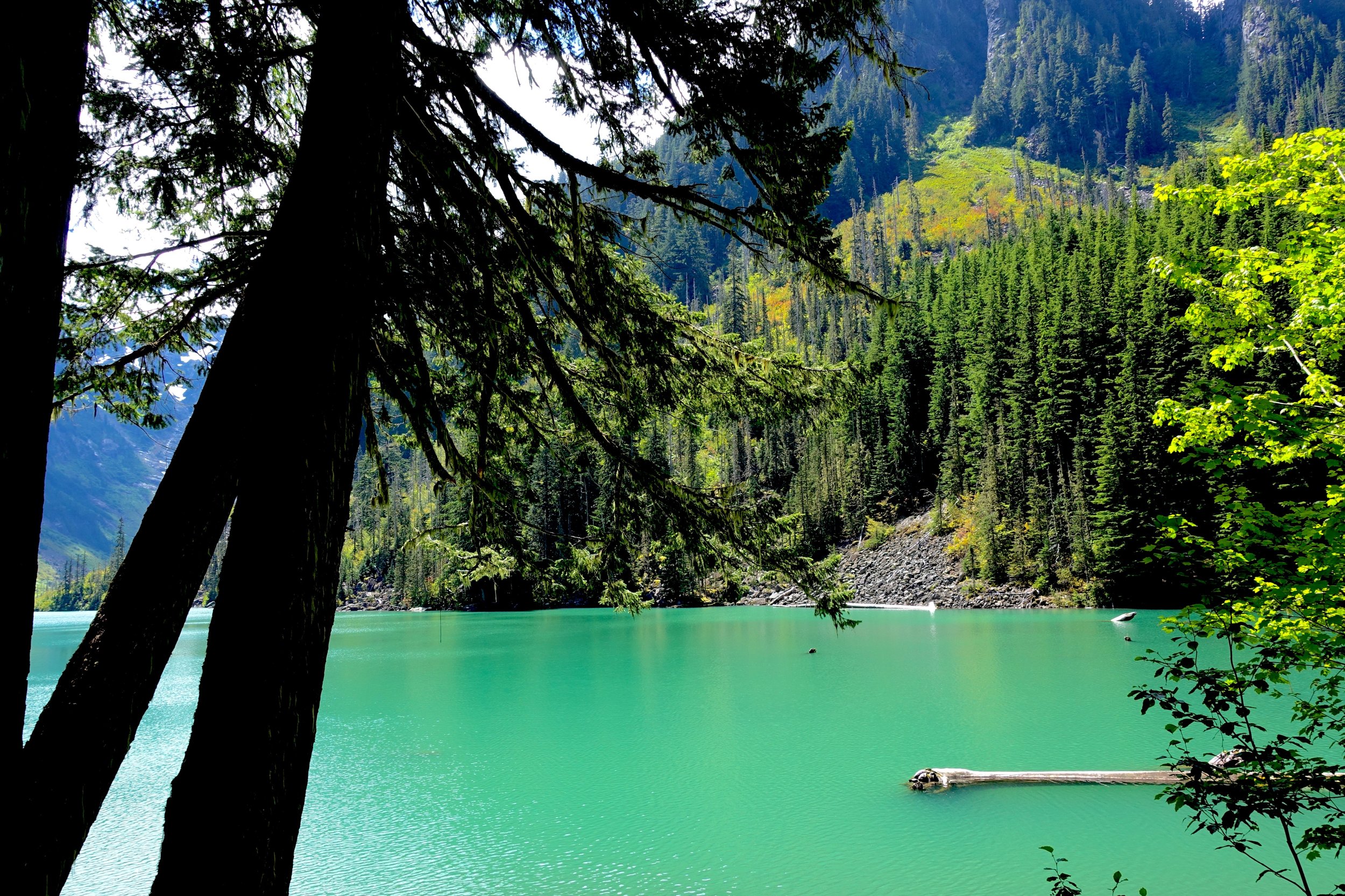
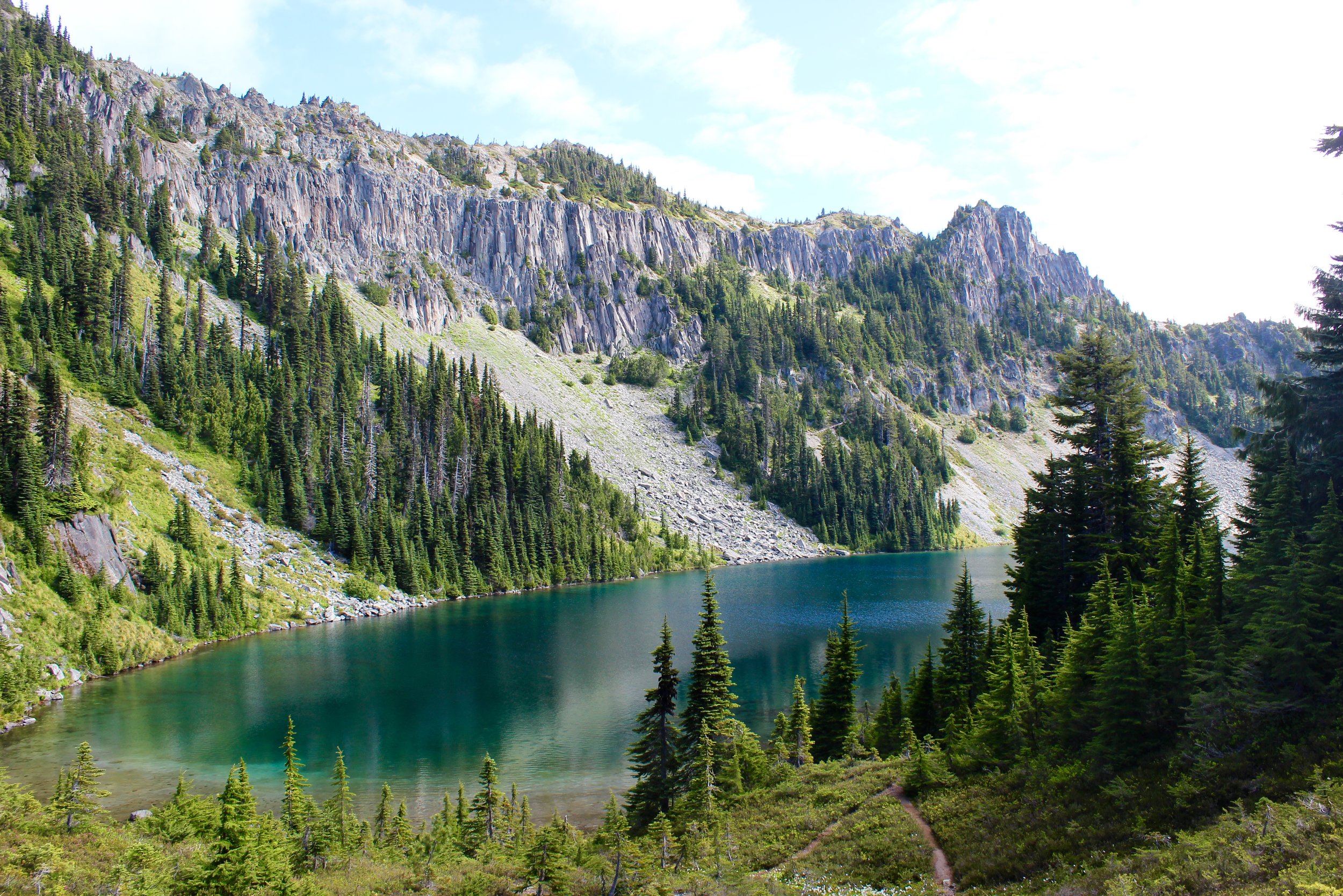
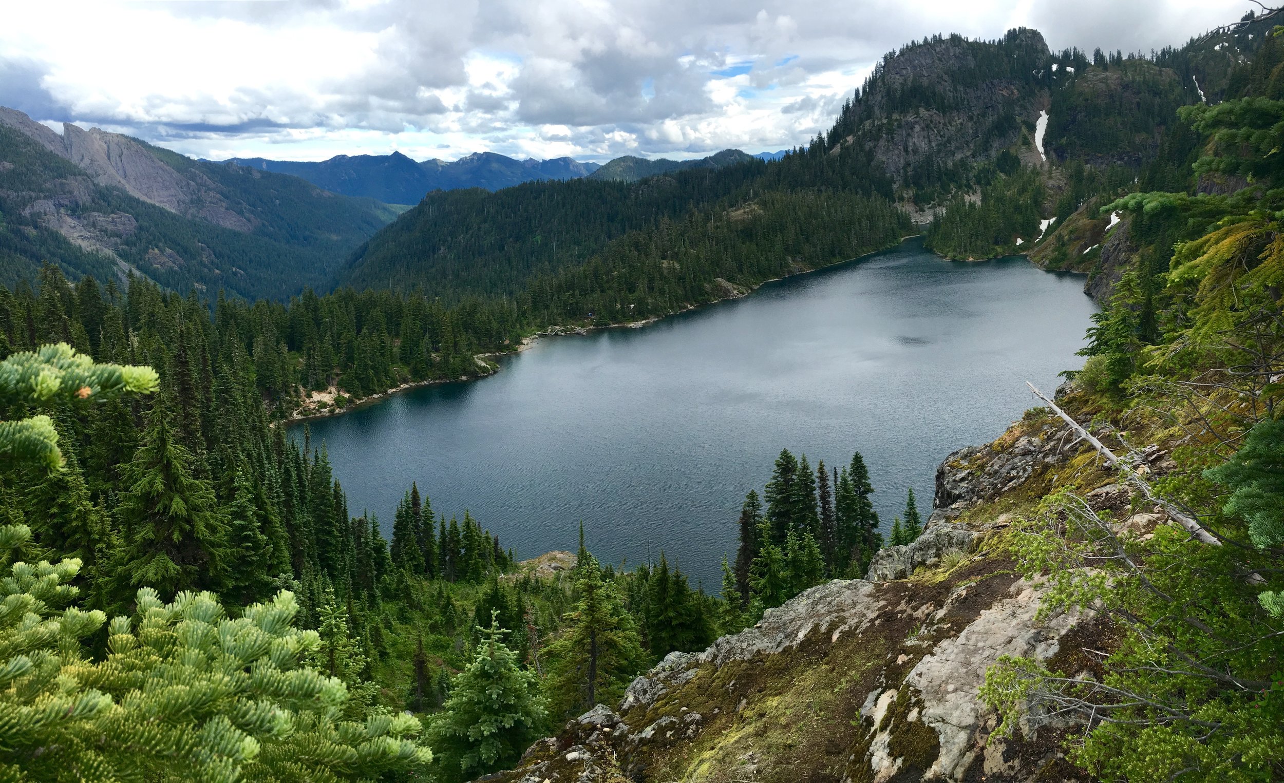
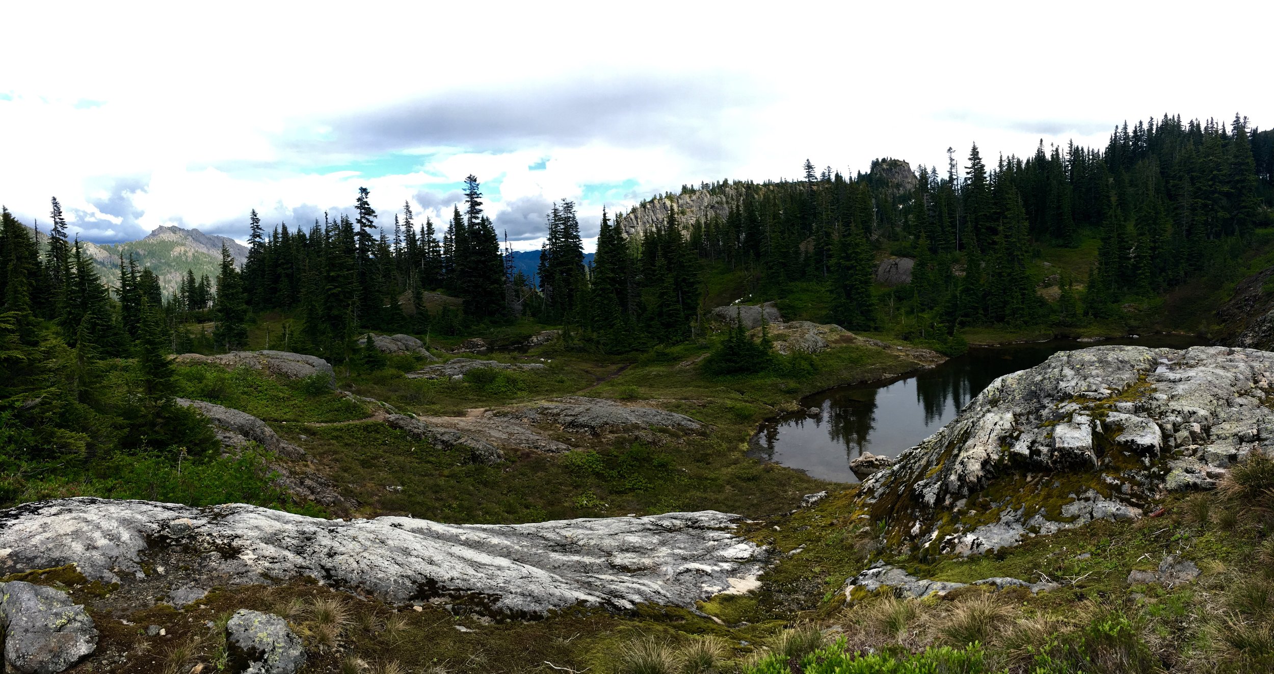
The good thing about going up Aasgards is that the whole rest of the trip is a decline. We came across our first big lake of the day, Crystal Lake.
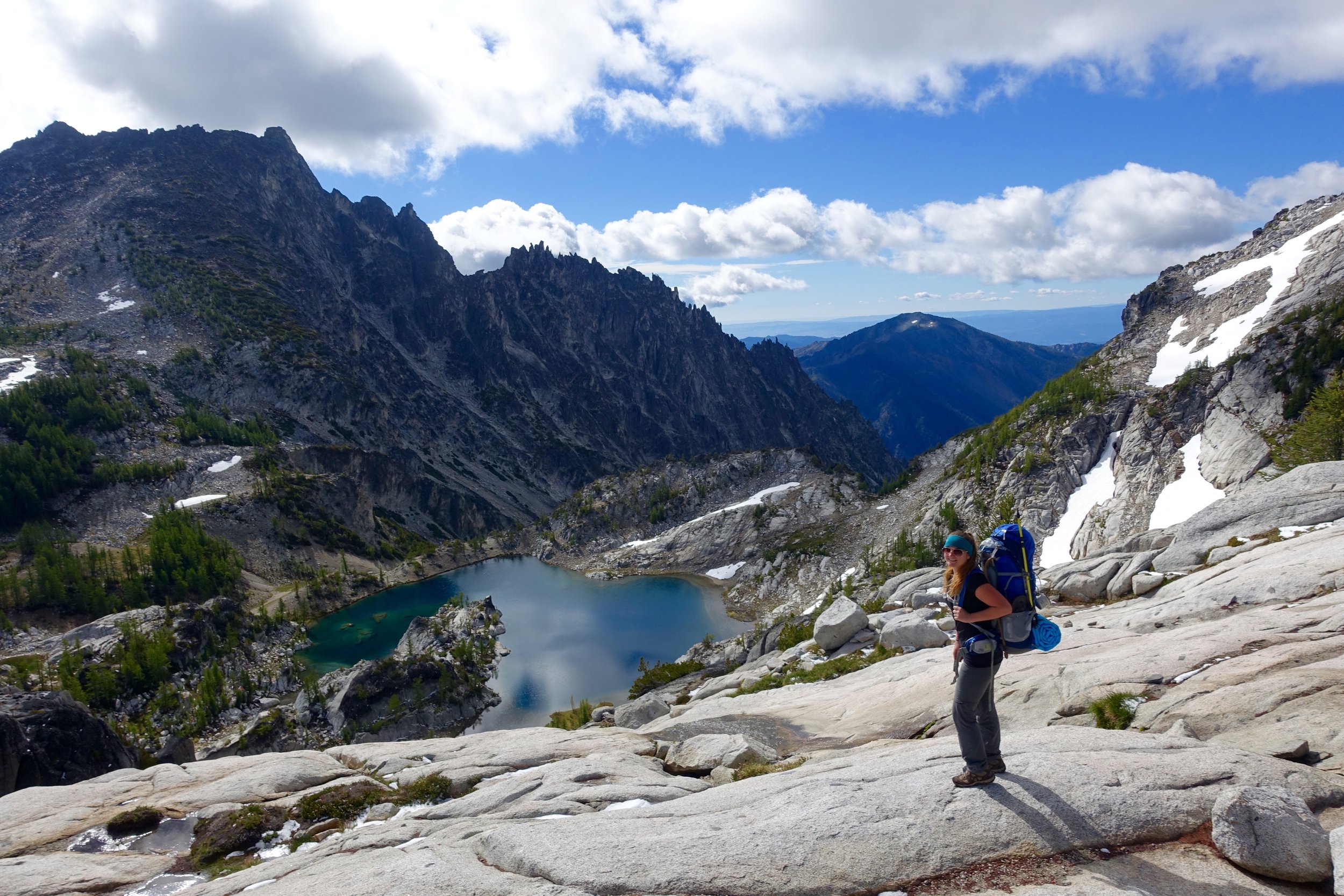
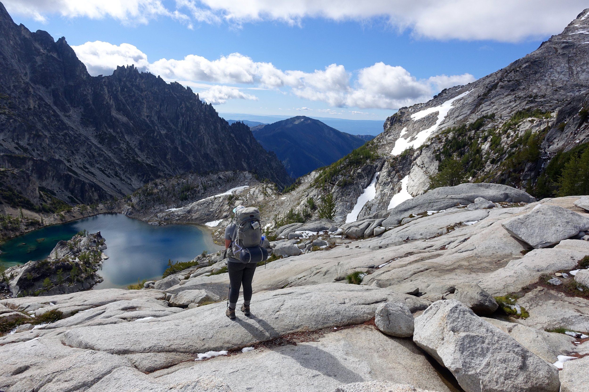
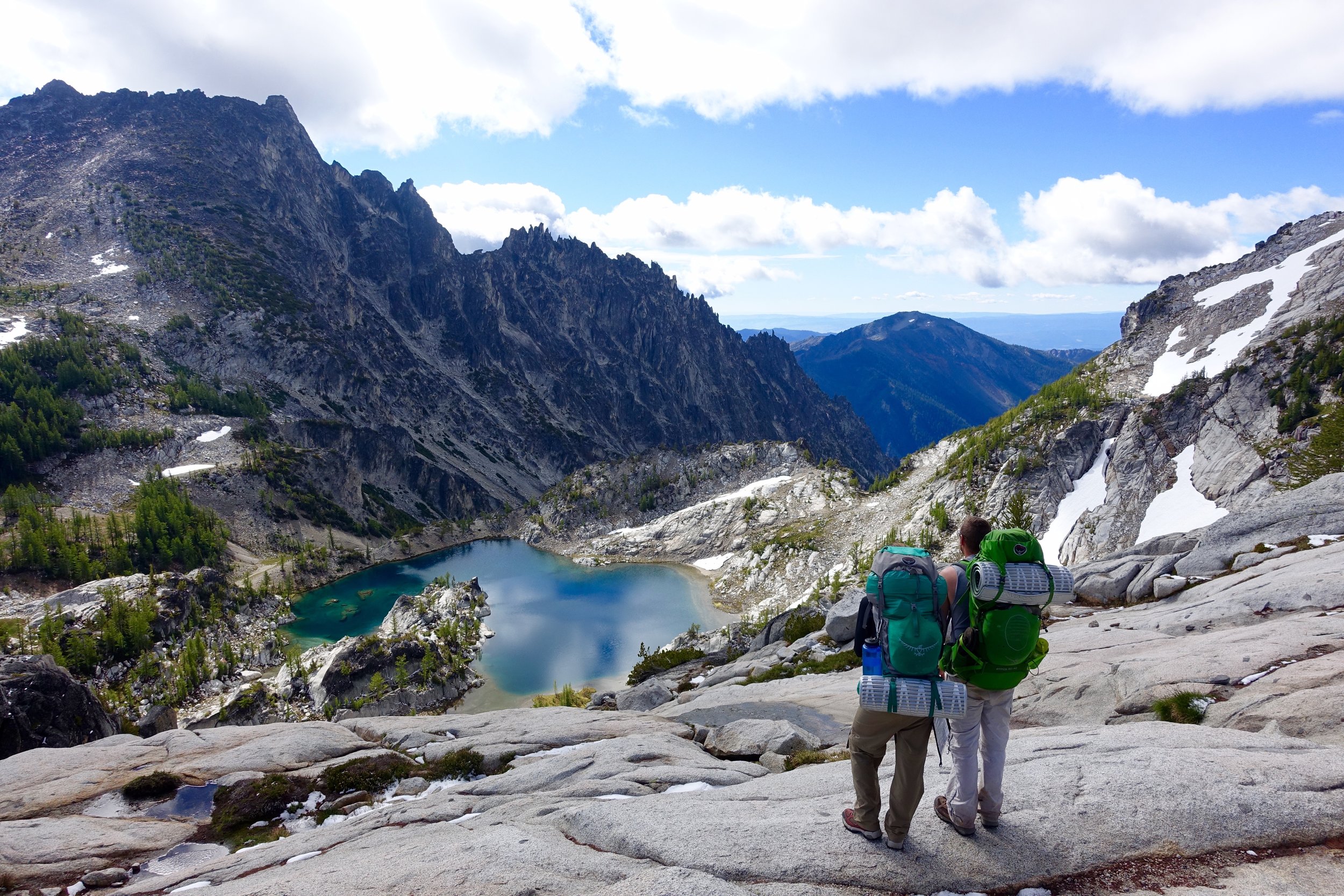
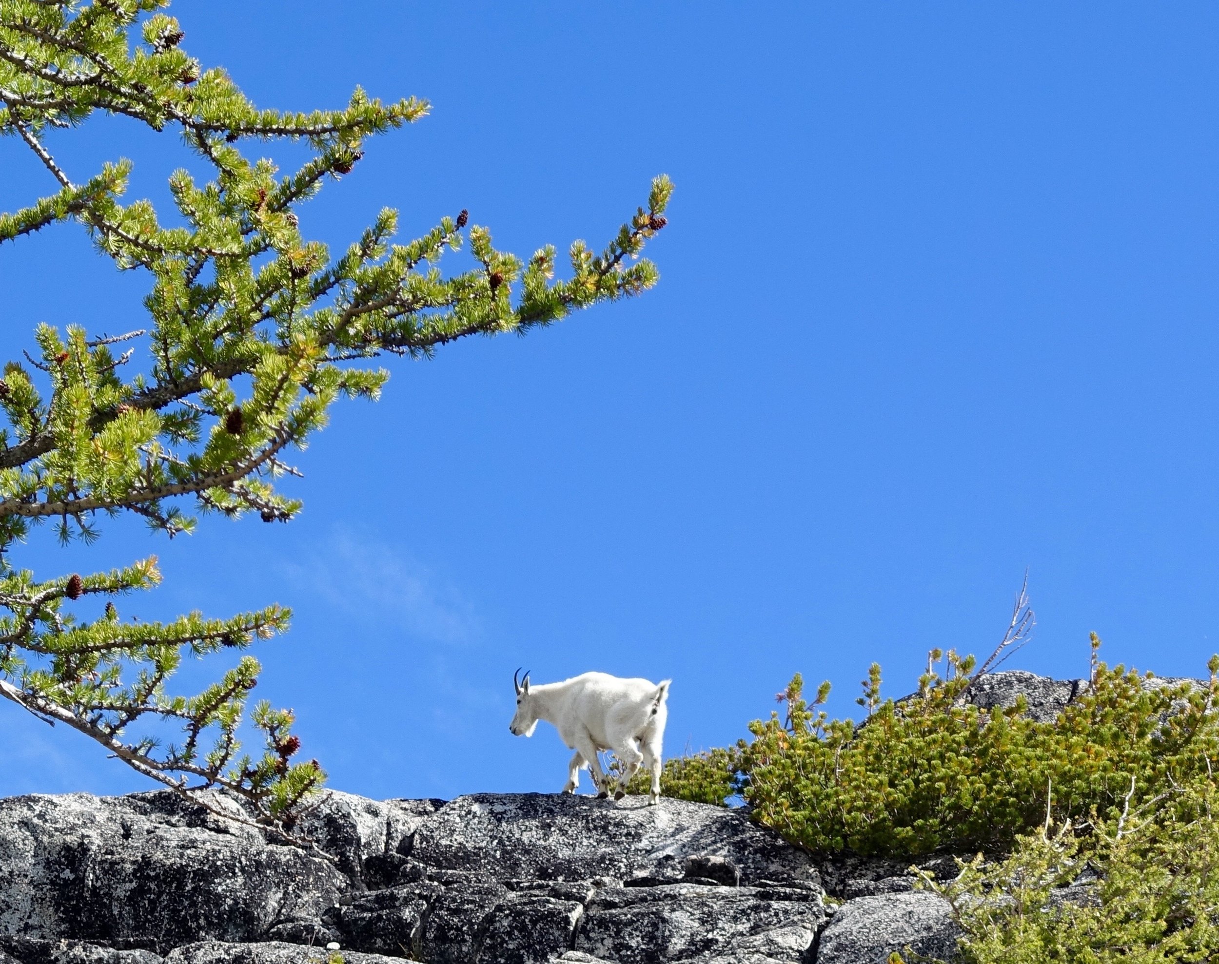
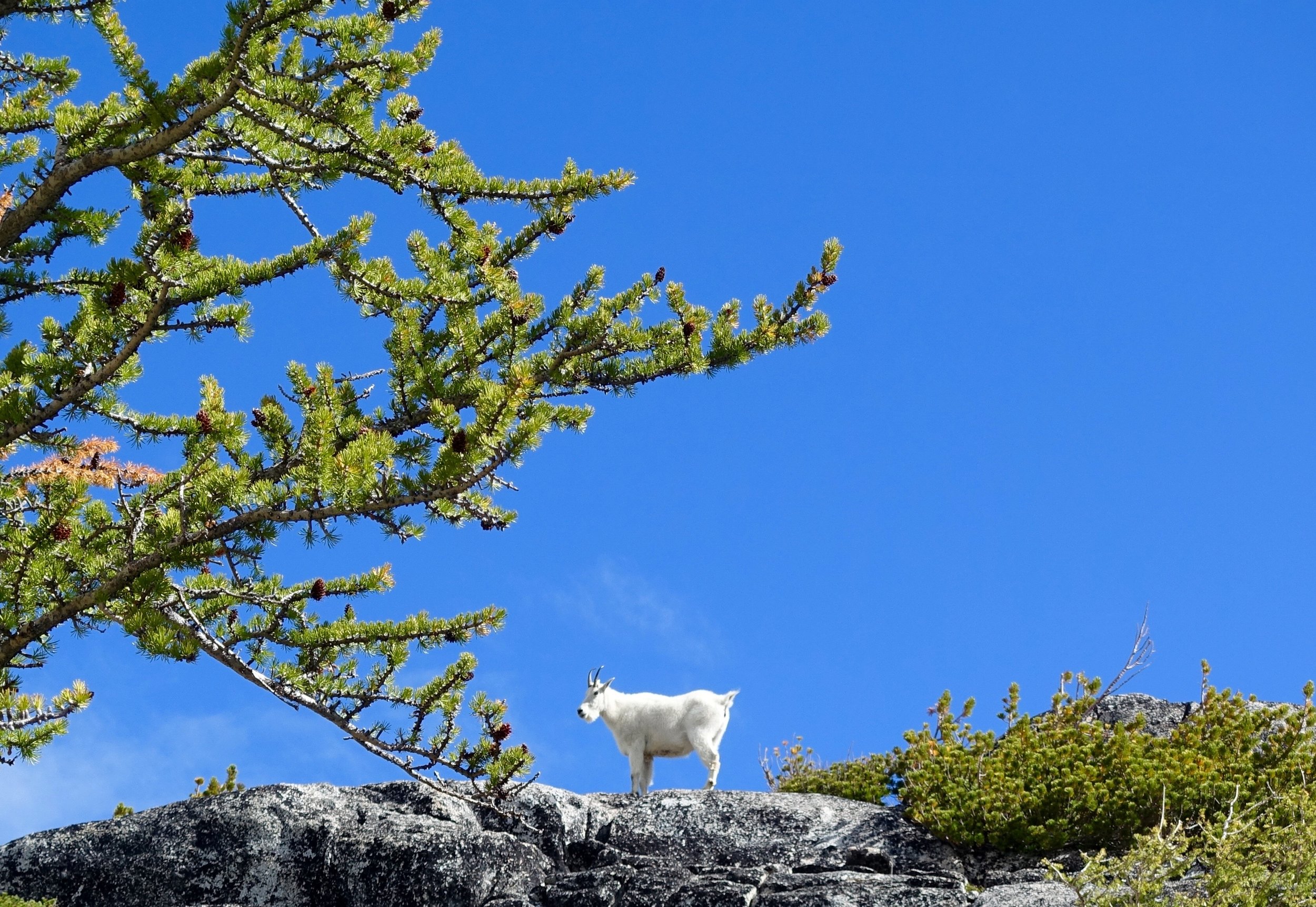
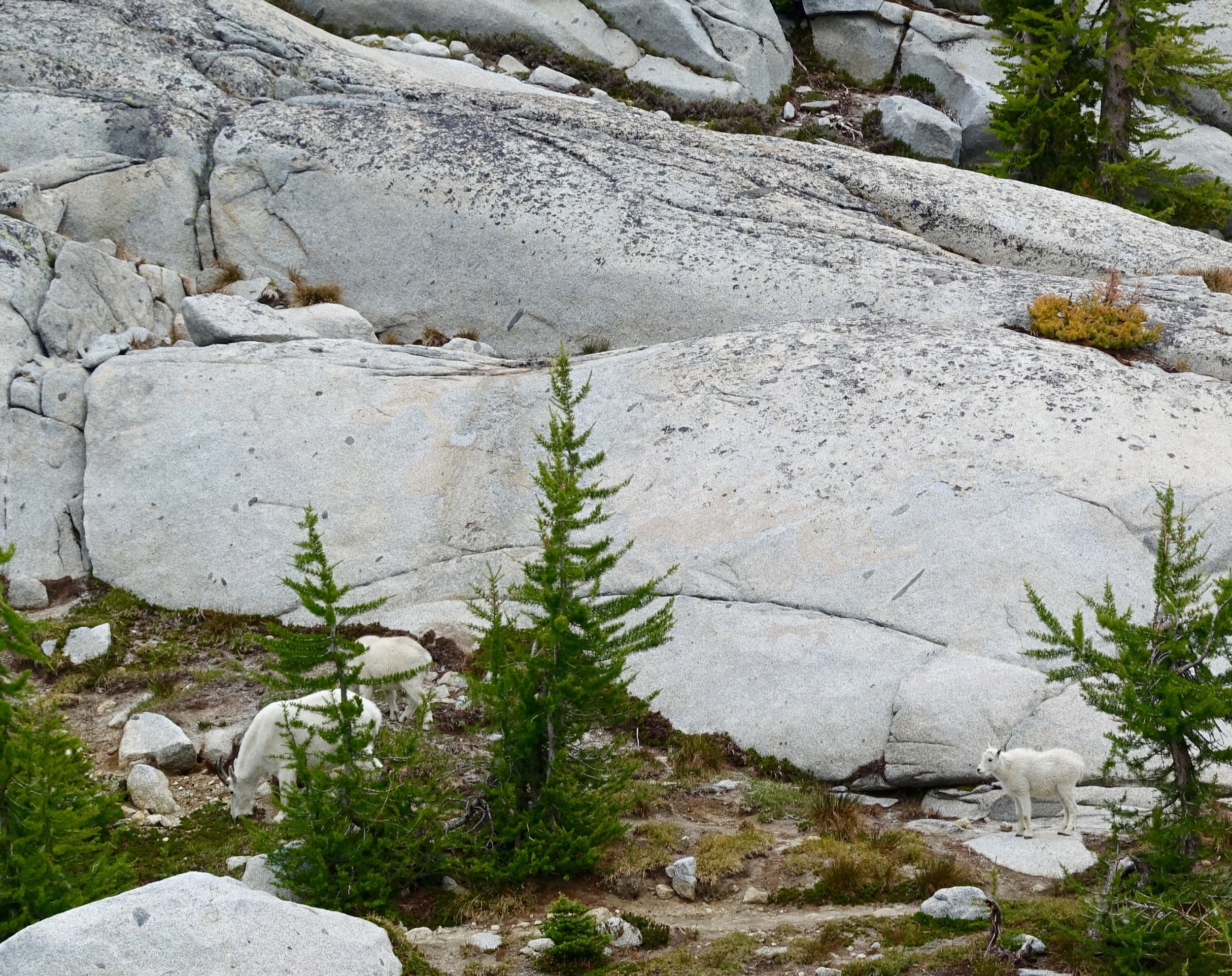
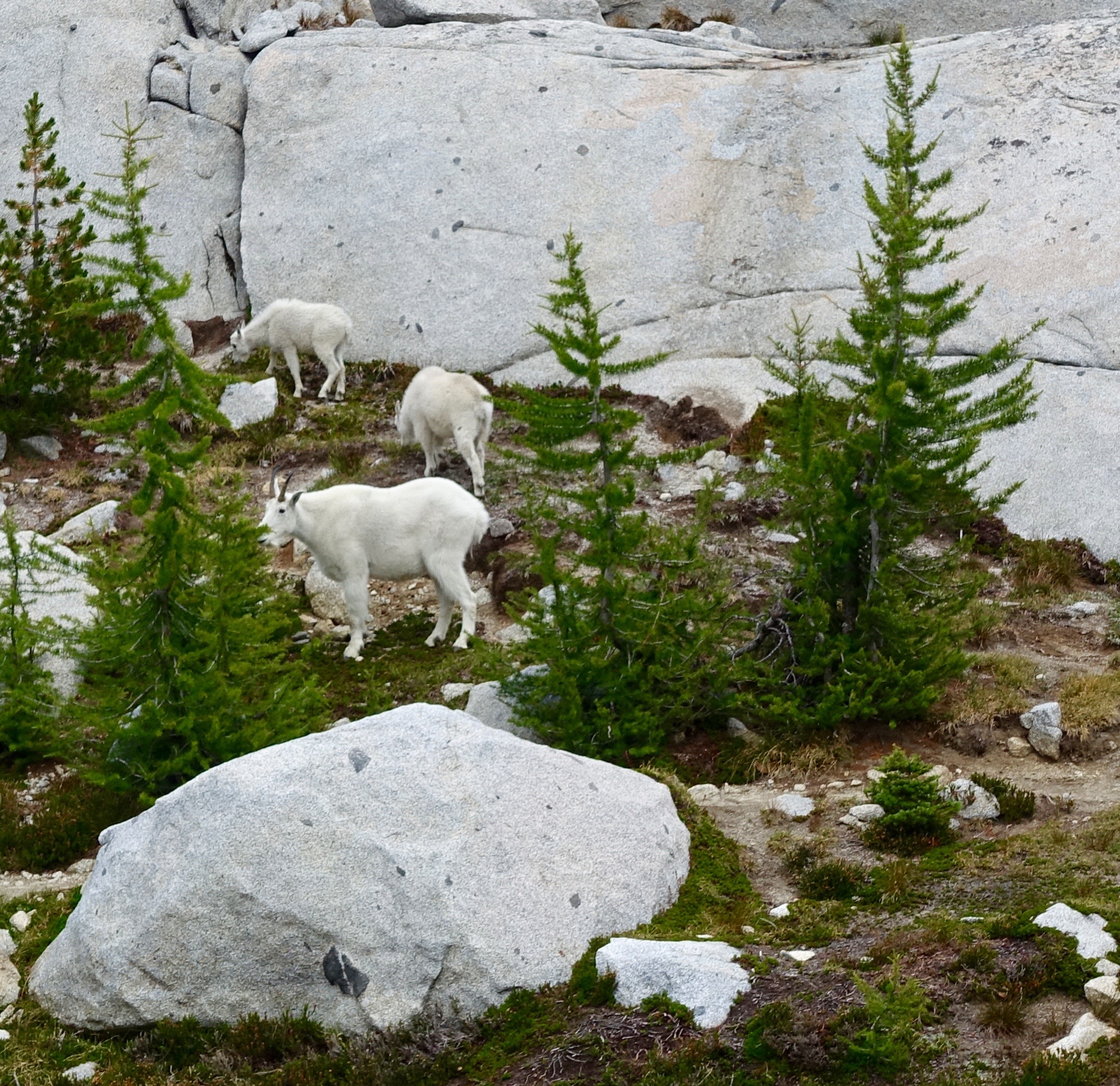
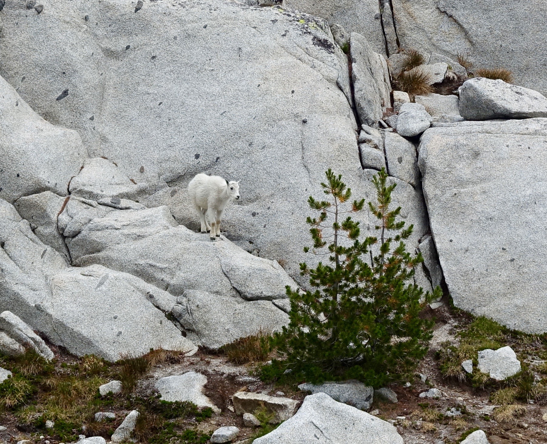
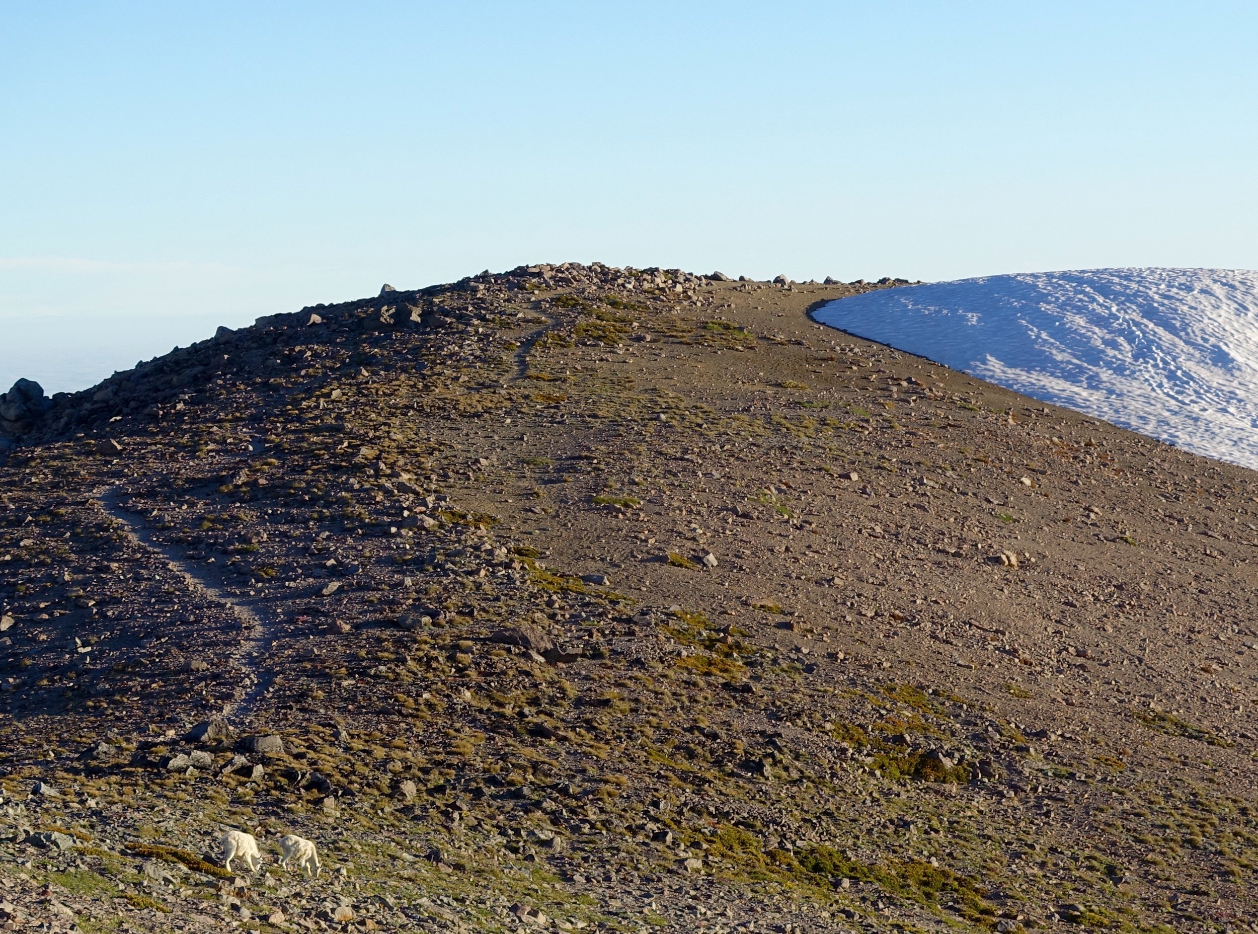
Next was Inspiration Lake, just around the corner from this lake is where we saw our first goat sighting!
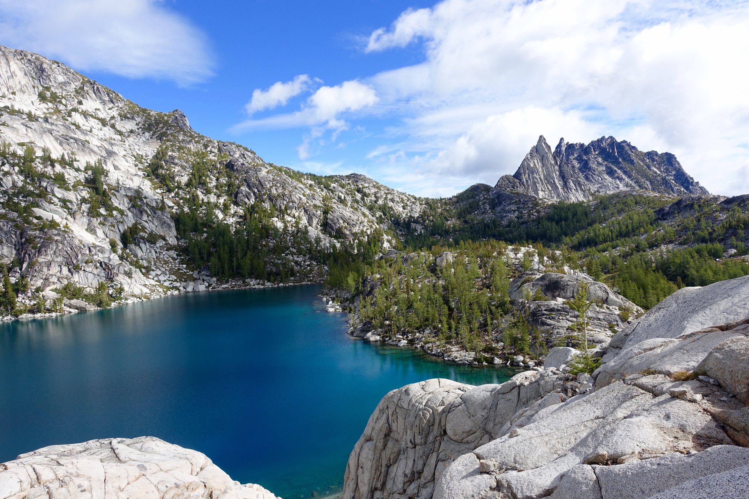
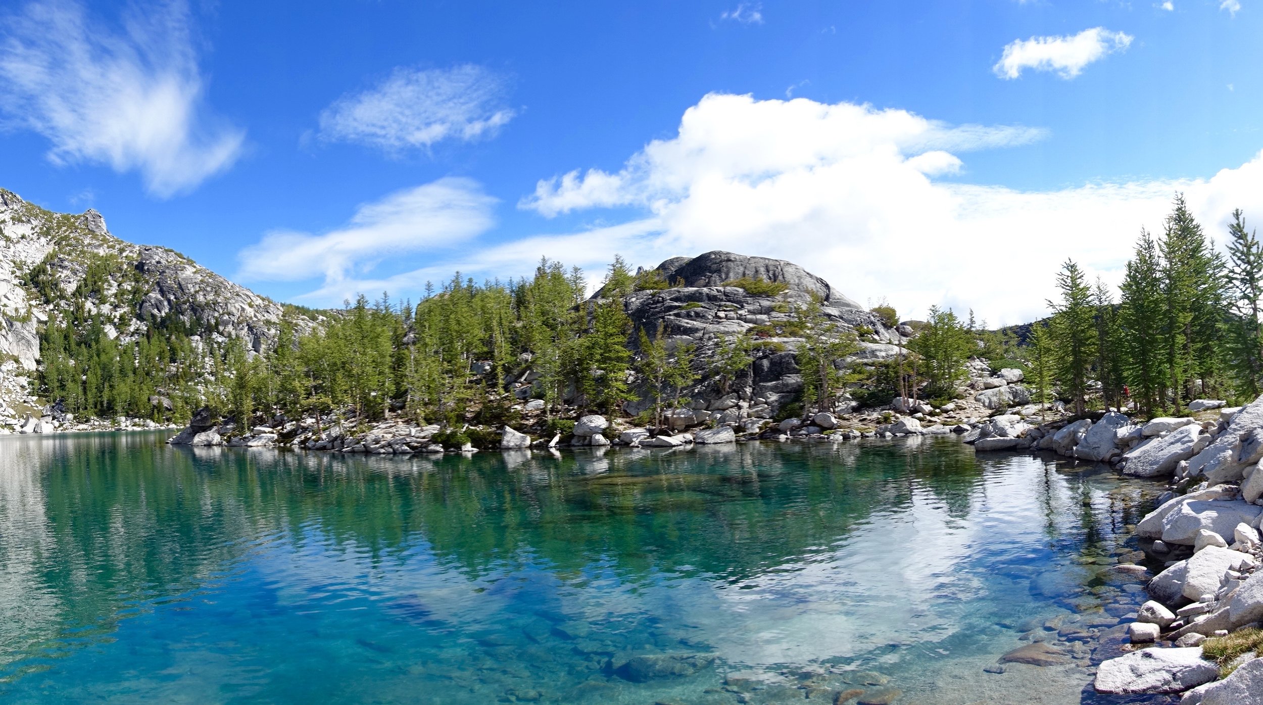
Next lake up was Perfection lake probably one of my favorites. I would love to come back and camp here, given the chance.
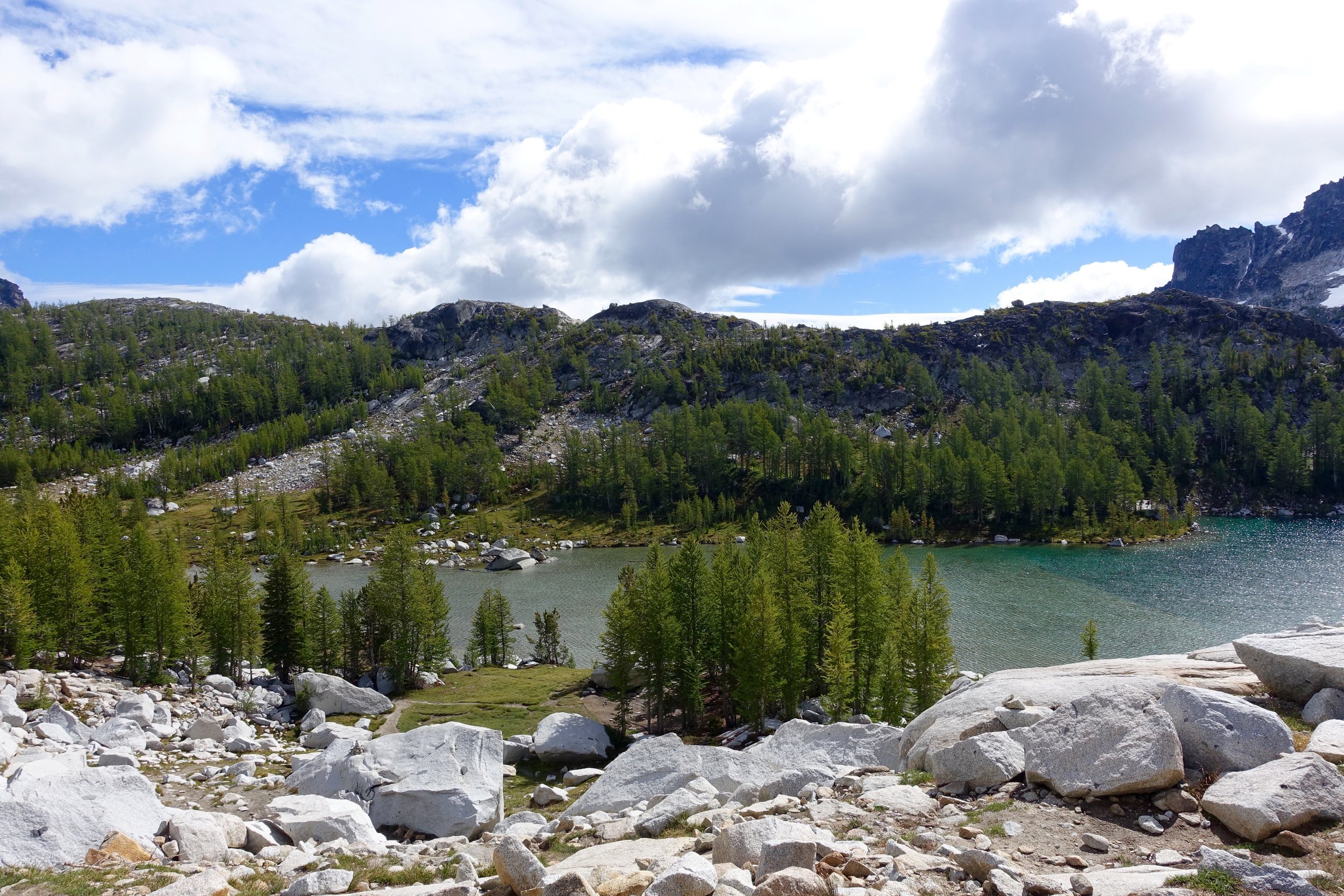
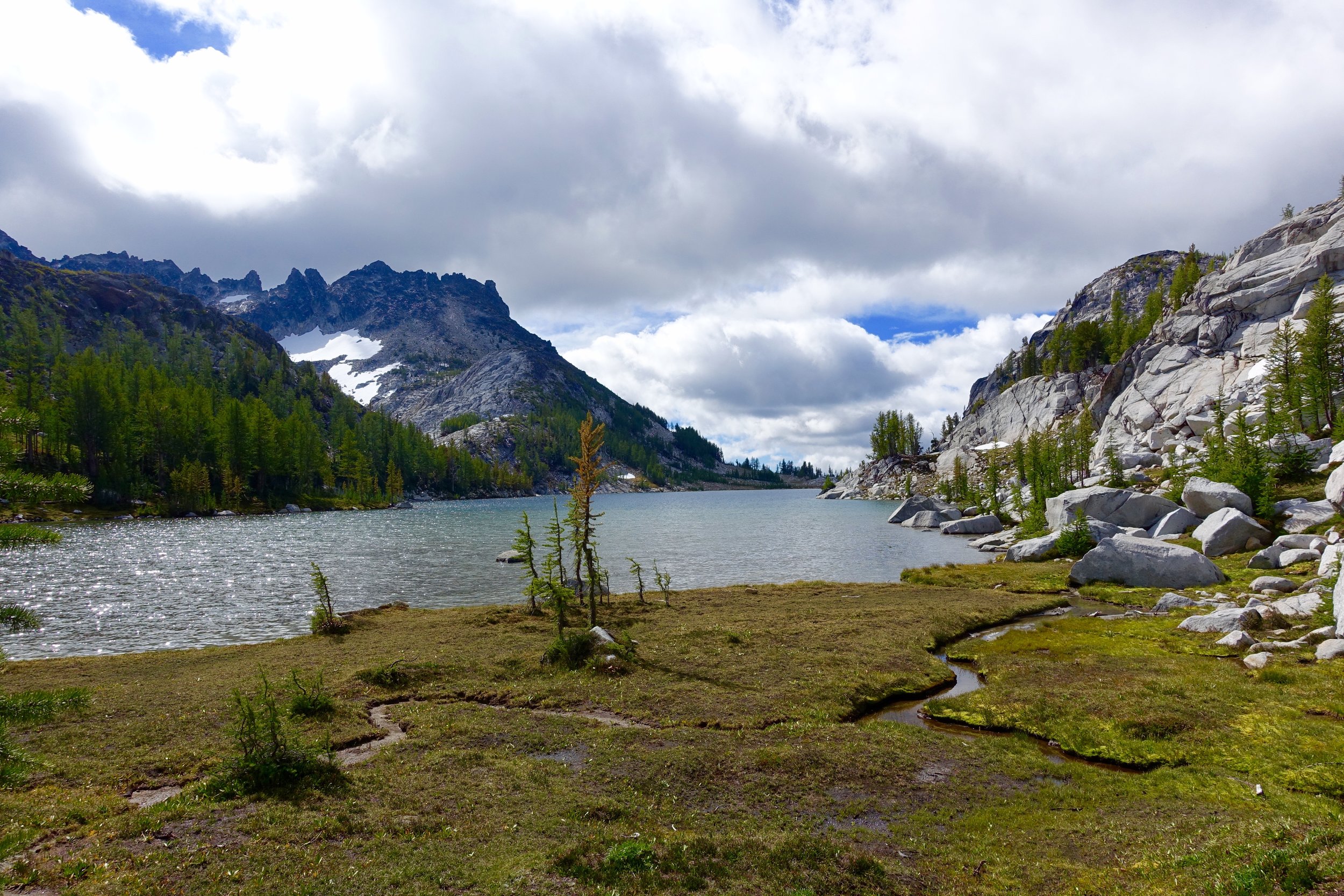
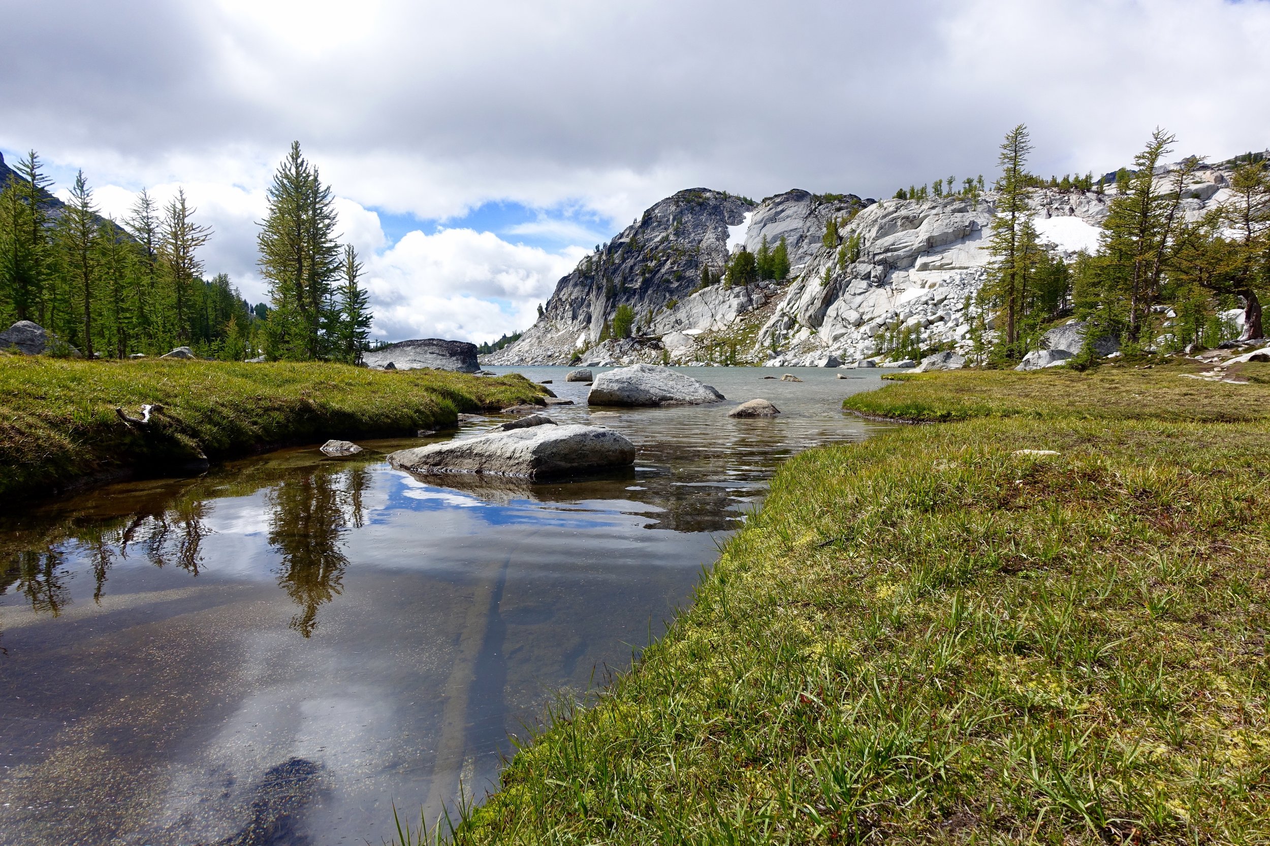
Next up, Sprite Lake. Refreshing? Maybe.
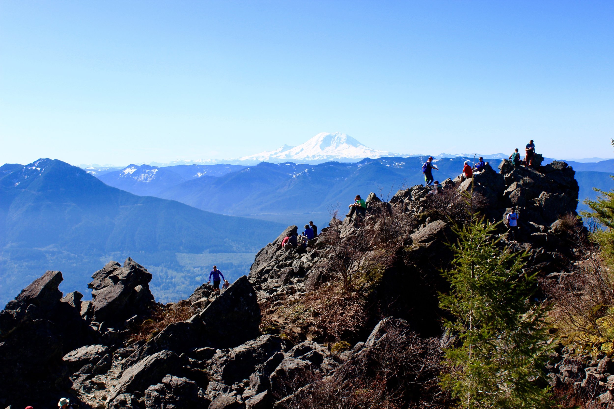
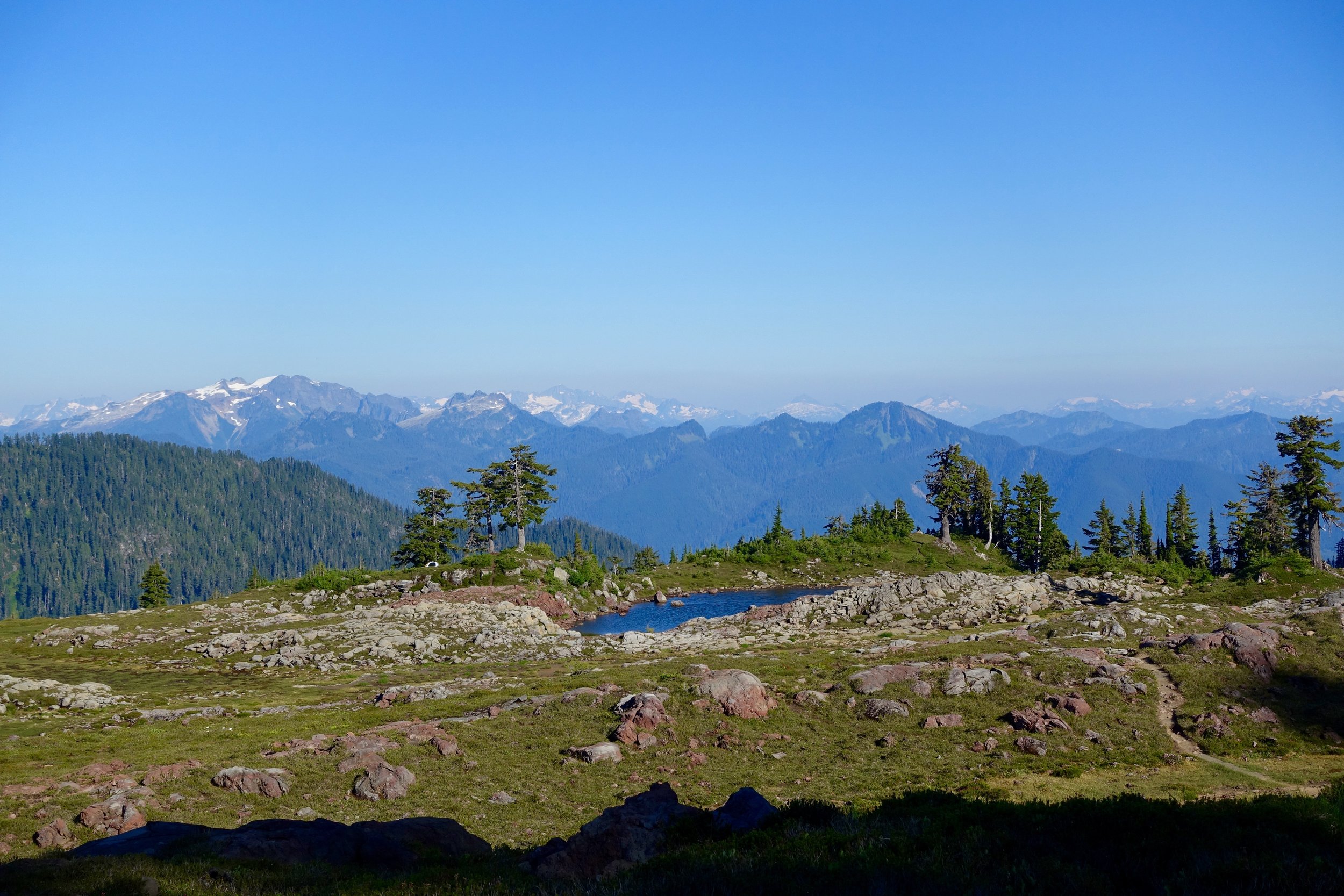
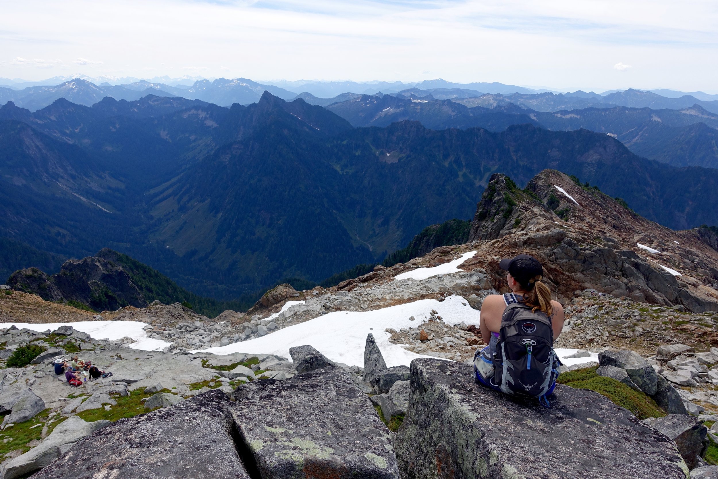
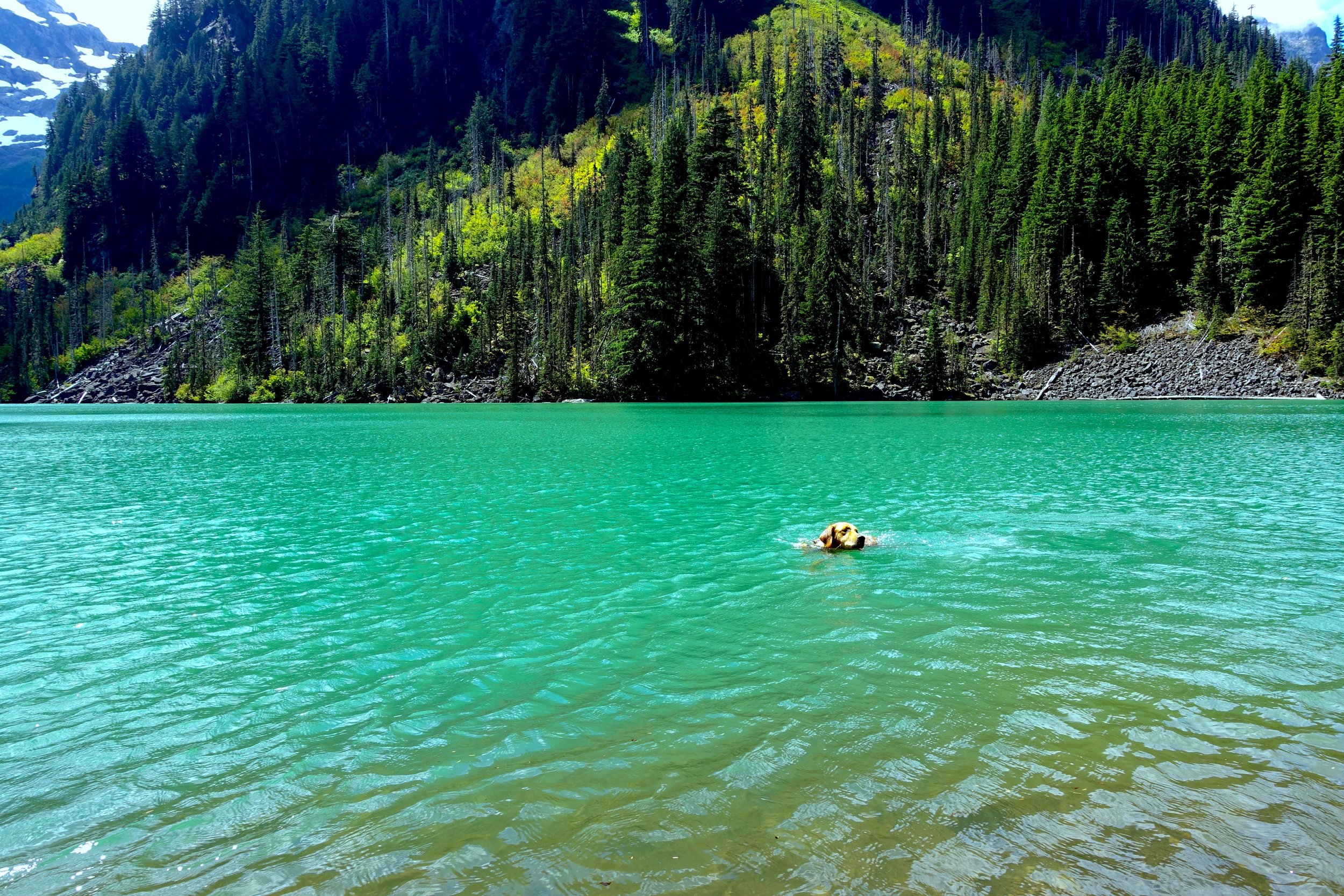
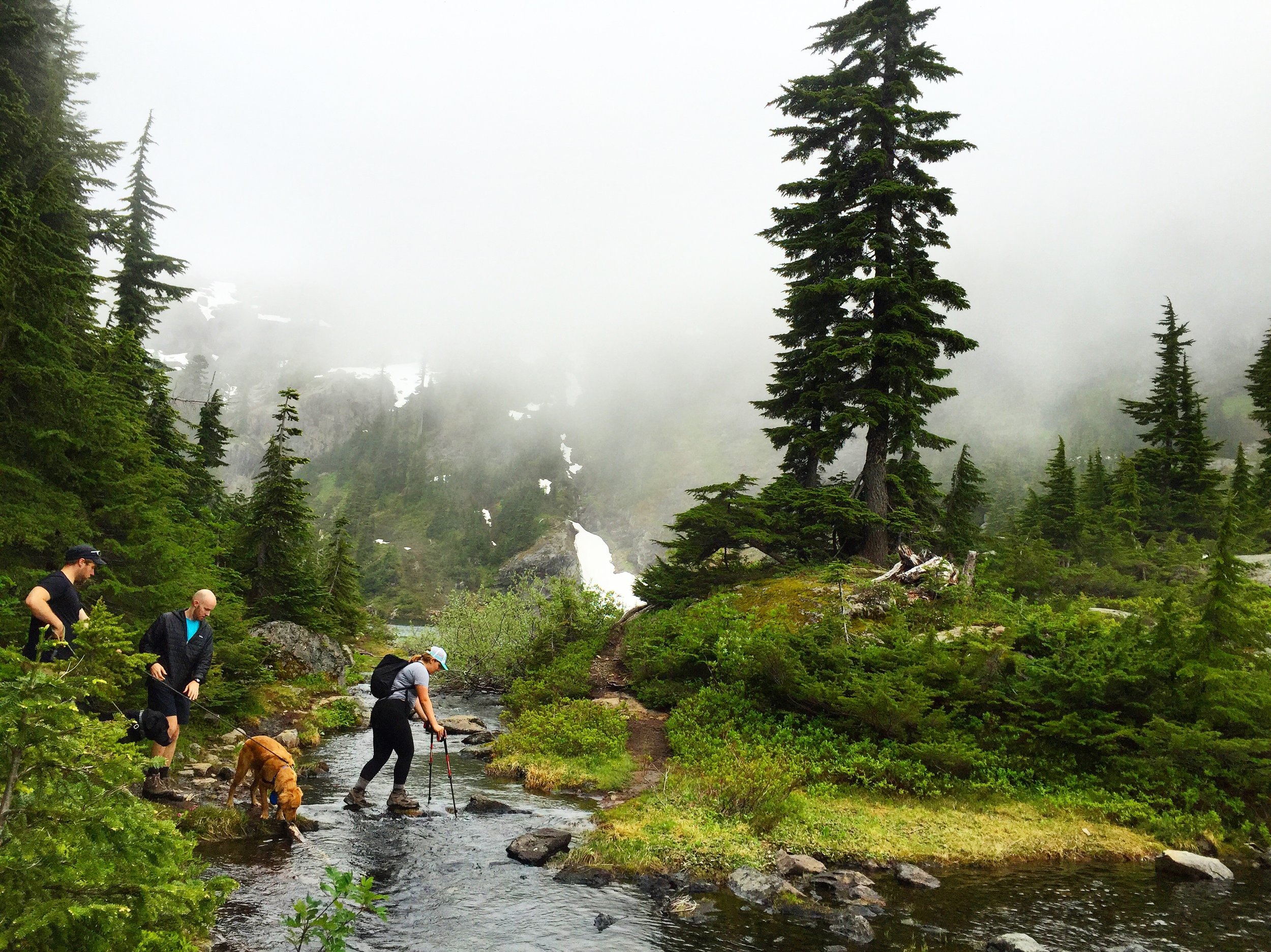
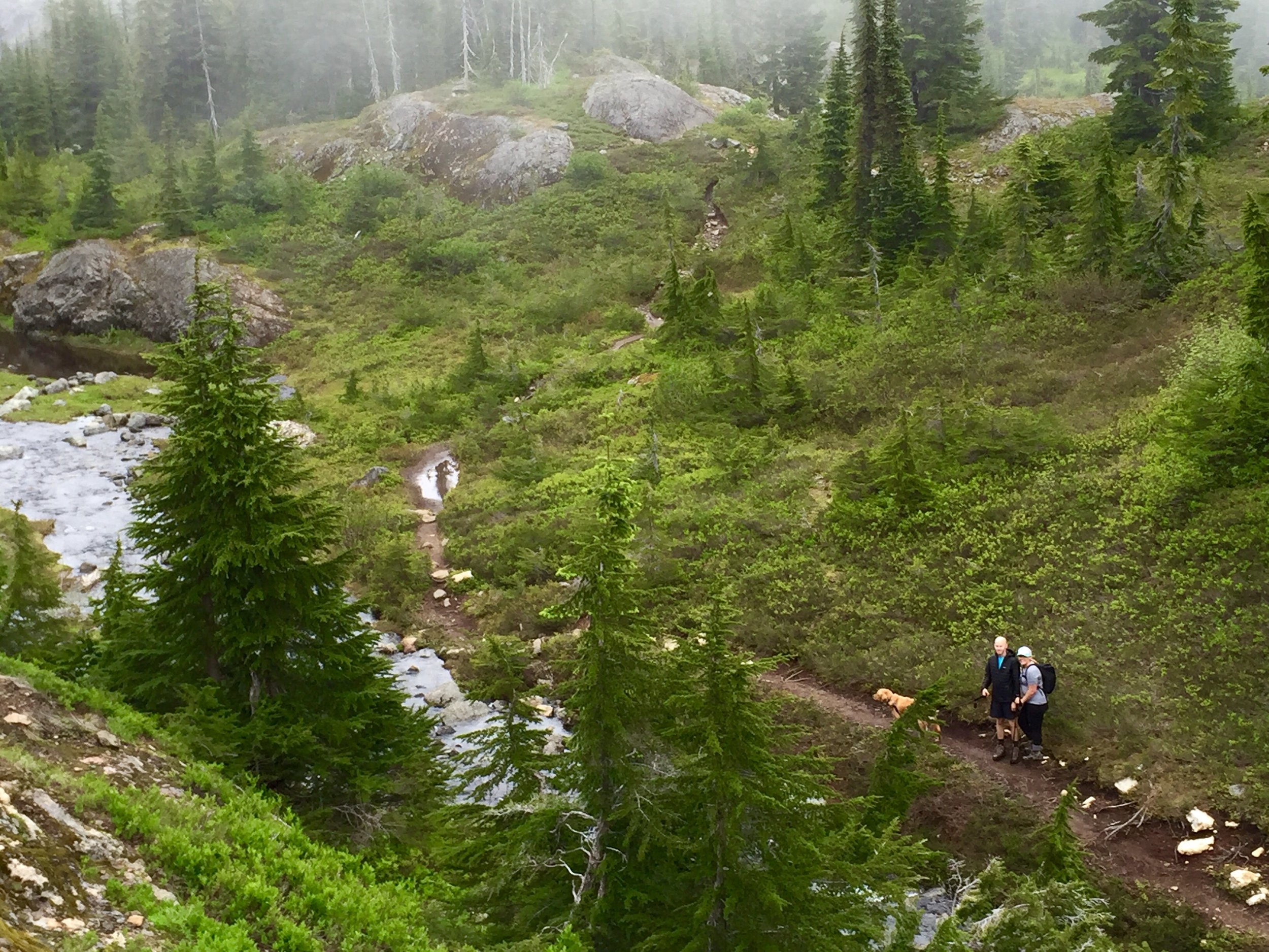
Our game plan was to check out the camping options around Leprechaun Lake and see if we wanted to stay there for the night. We really really wanted to stay in the core for another night, but Snow Lake, a lake out of the core but with campsites, would still be 9 miles out for the last day. So we looked around a bit and the group decided it was best to camp at Snow Lakes for the night to not have a crazy long last day. We did stop at Leprechaun Lake for lunch and to relax a bit. While eating lunch we spotted a mama goat and 2 kids across the island thing we were on. Cody and I went a little closer to get some pictures but were still a good distance away. We were shooting away and the mom eventually noticed us and must've gotten annoyed and ran towards us very fast. We ran back to the rest of the group quickly but the goat was now on our side of the island and creeping closer with the kids. We were terrified for a brief moment being cornered in by this mama goat, that could get aggressive. We yelled at it to stay away with bear spray in hand (just in case). It stayed on our side of the island for a long time just eating and watching us. When we were ready to go another mama goat and a kid came to our island so now we had 5 goats blocking us in on this island. We yelled for them to move and they eventually did and we booked it out of there. Goats can be really cute but they are still a wild animal that needs space. Any animal with babies I am way more precocious of as well.
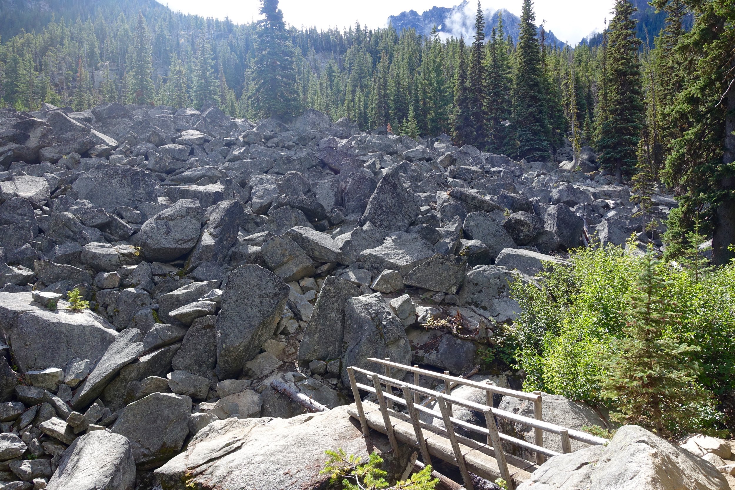
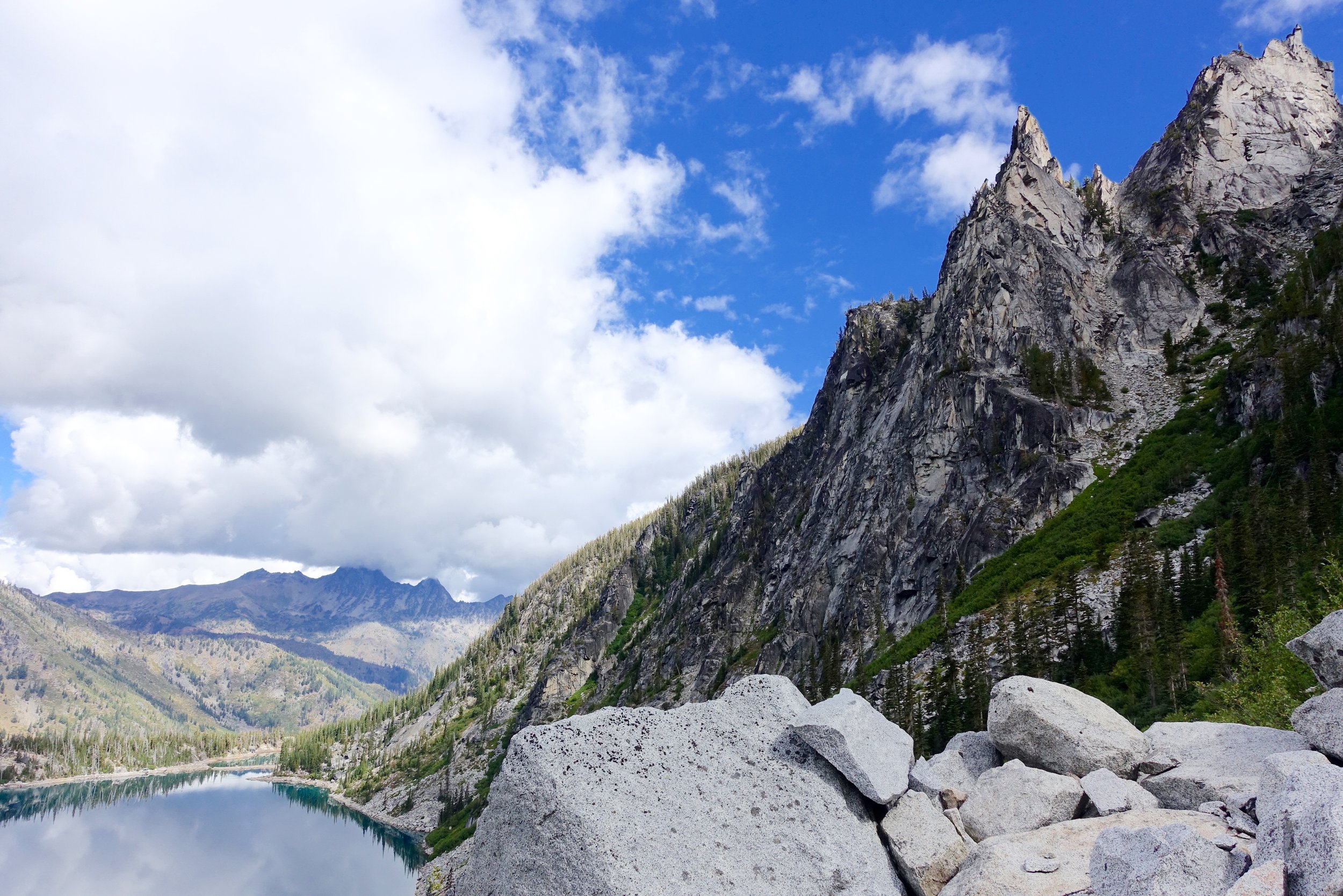
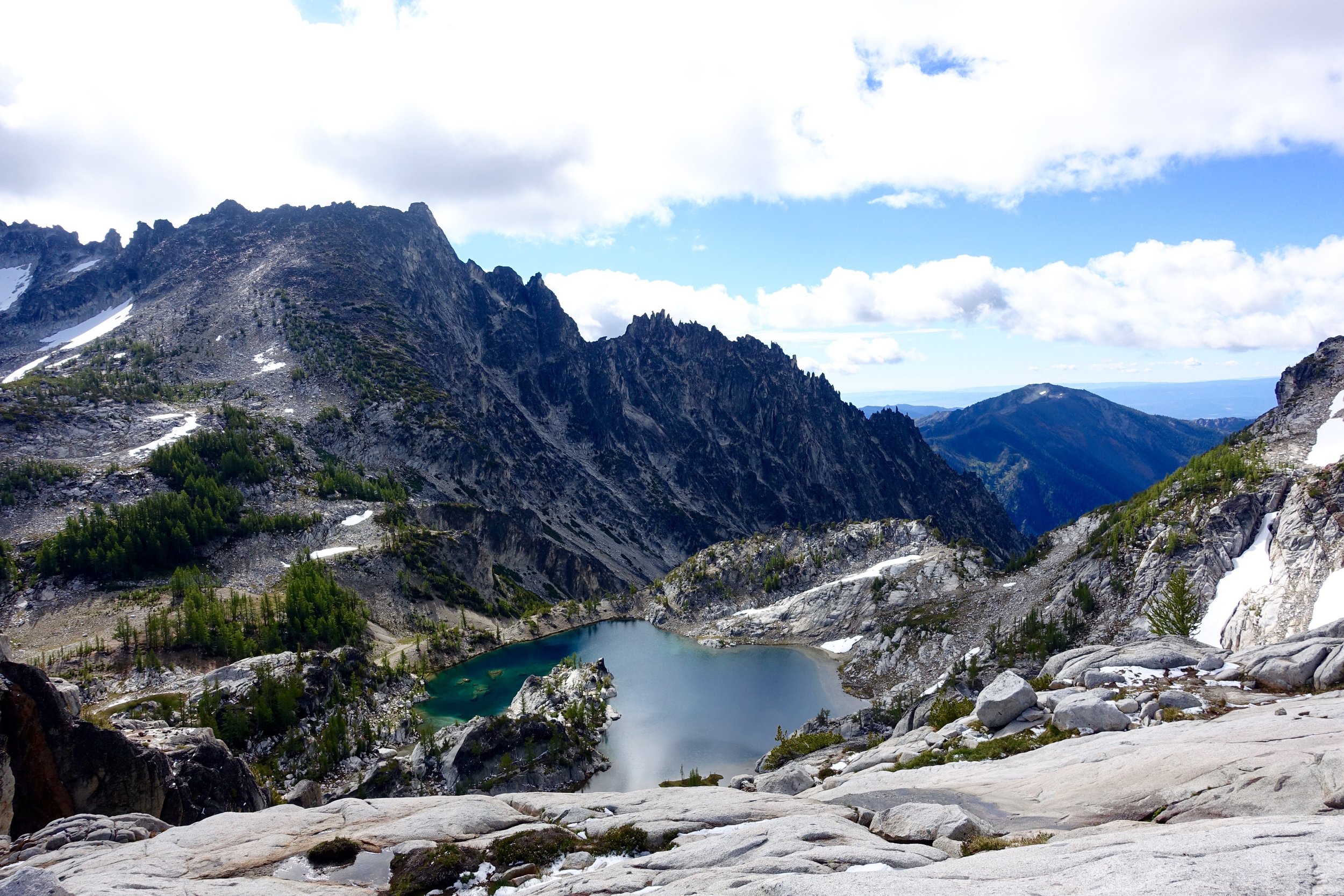
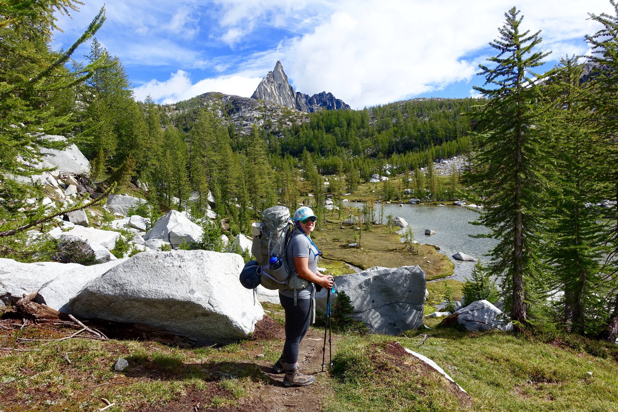
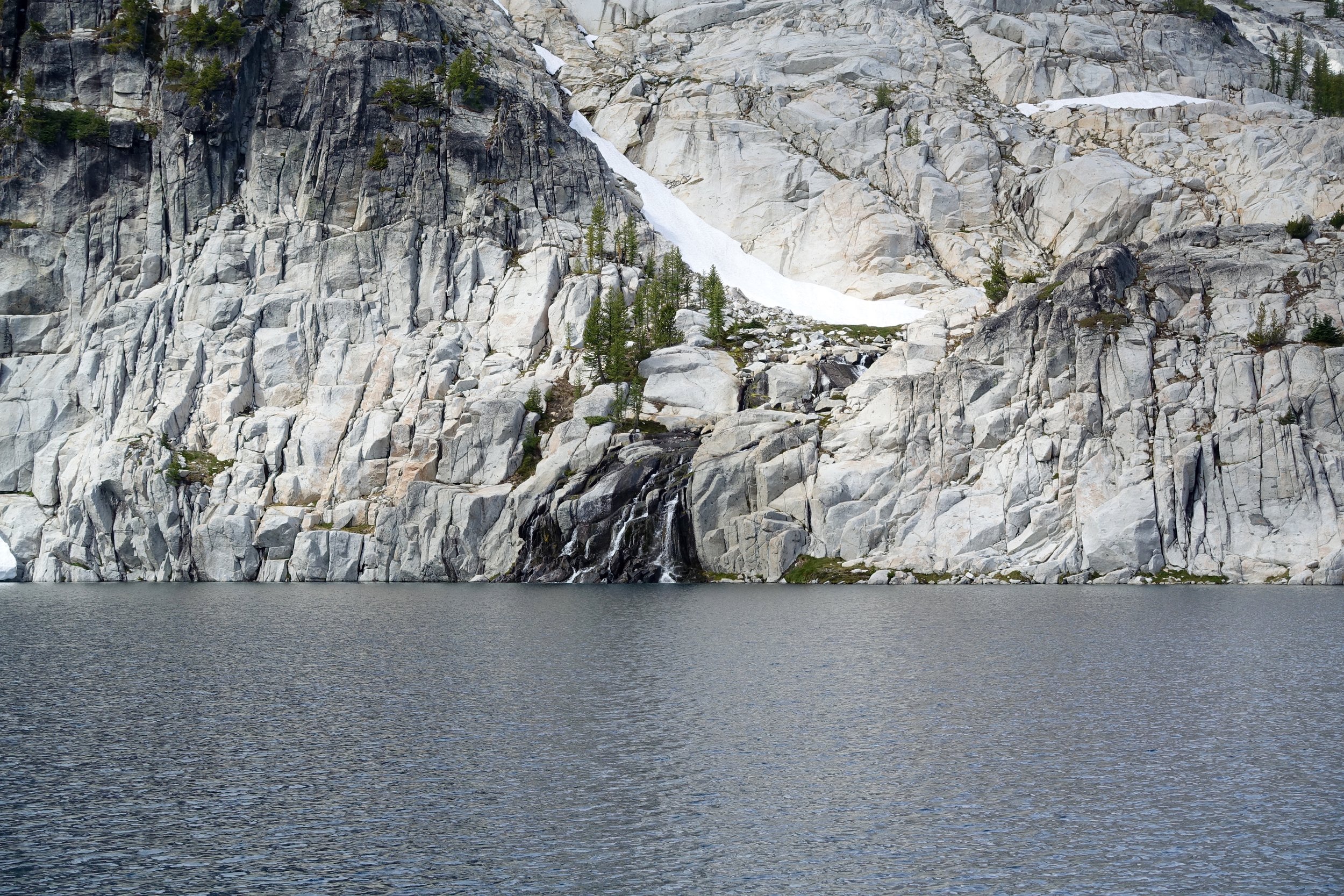
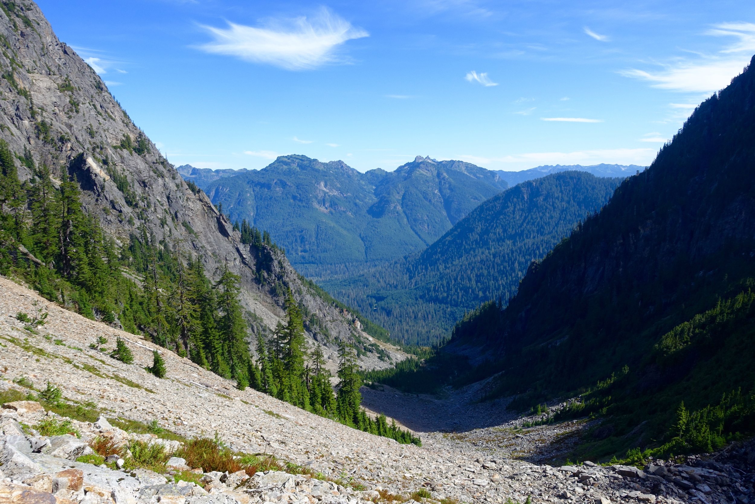
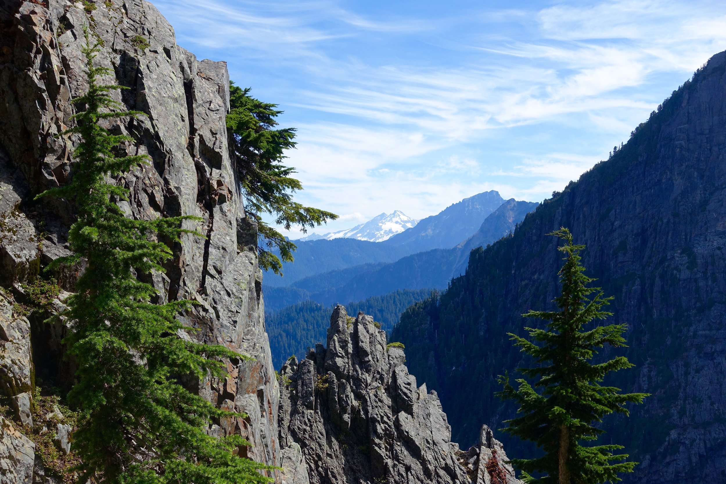
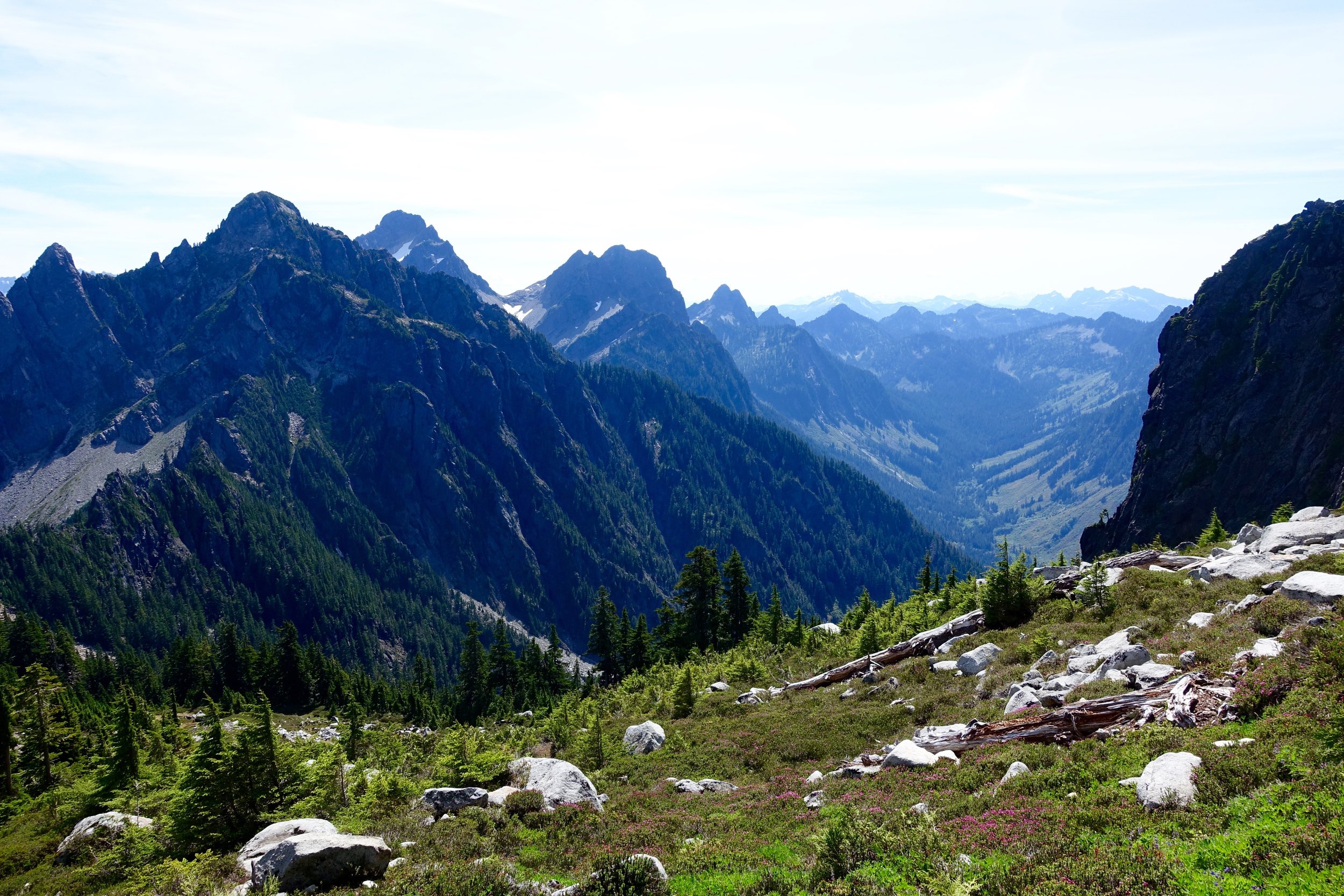
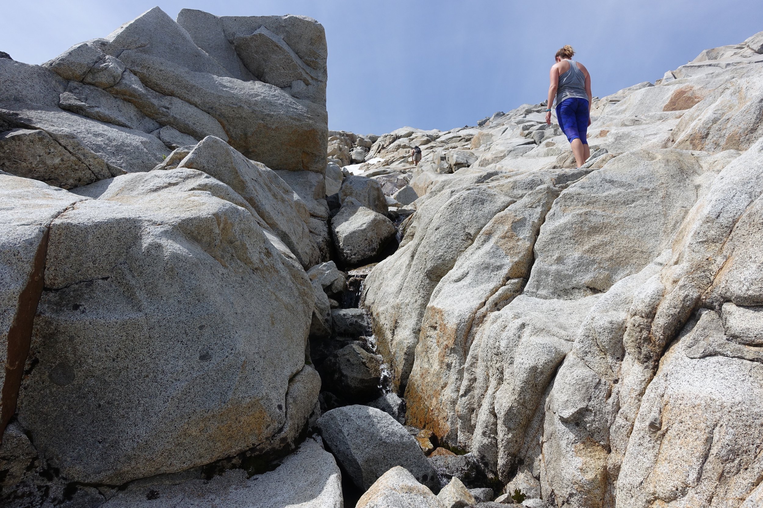
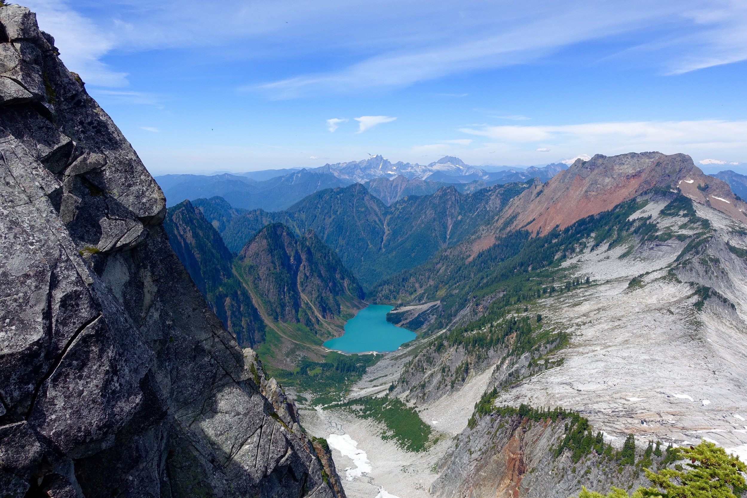
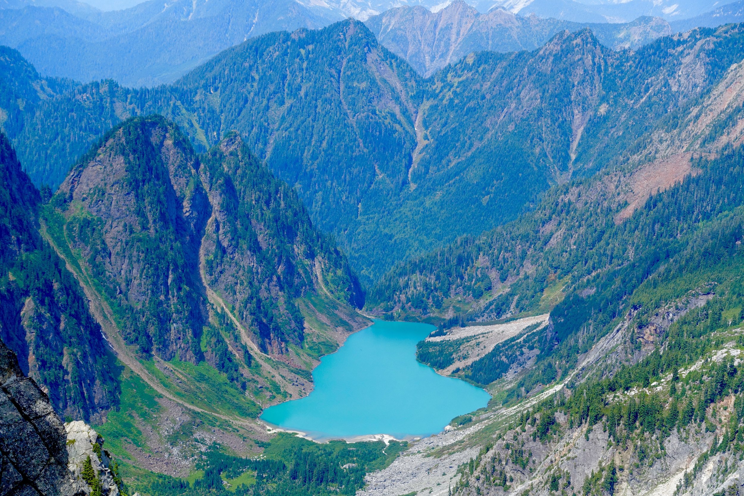
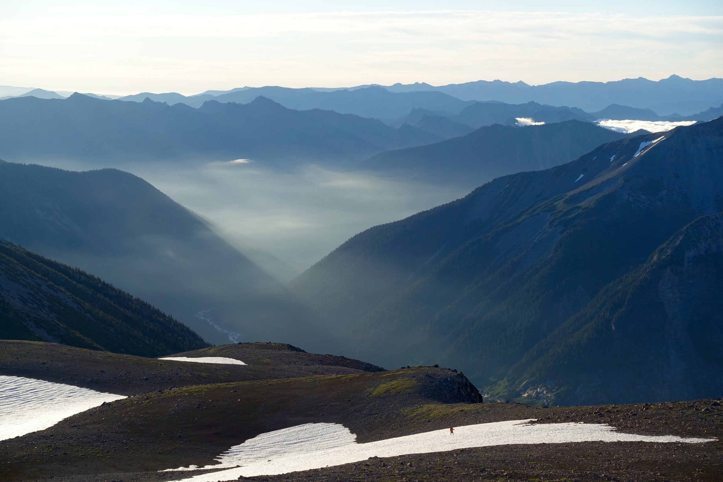
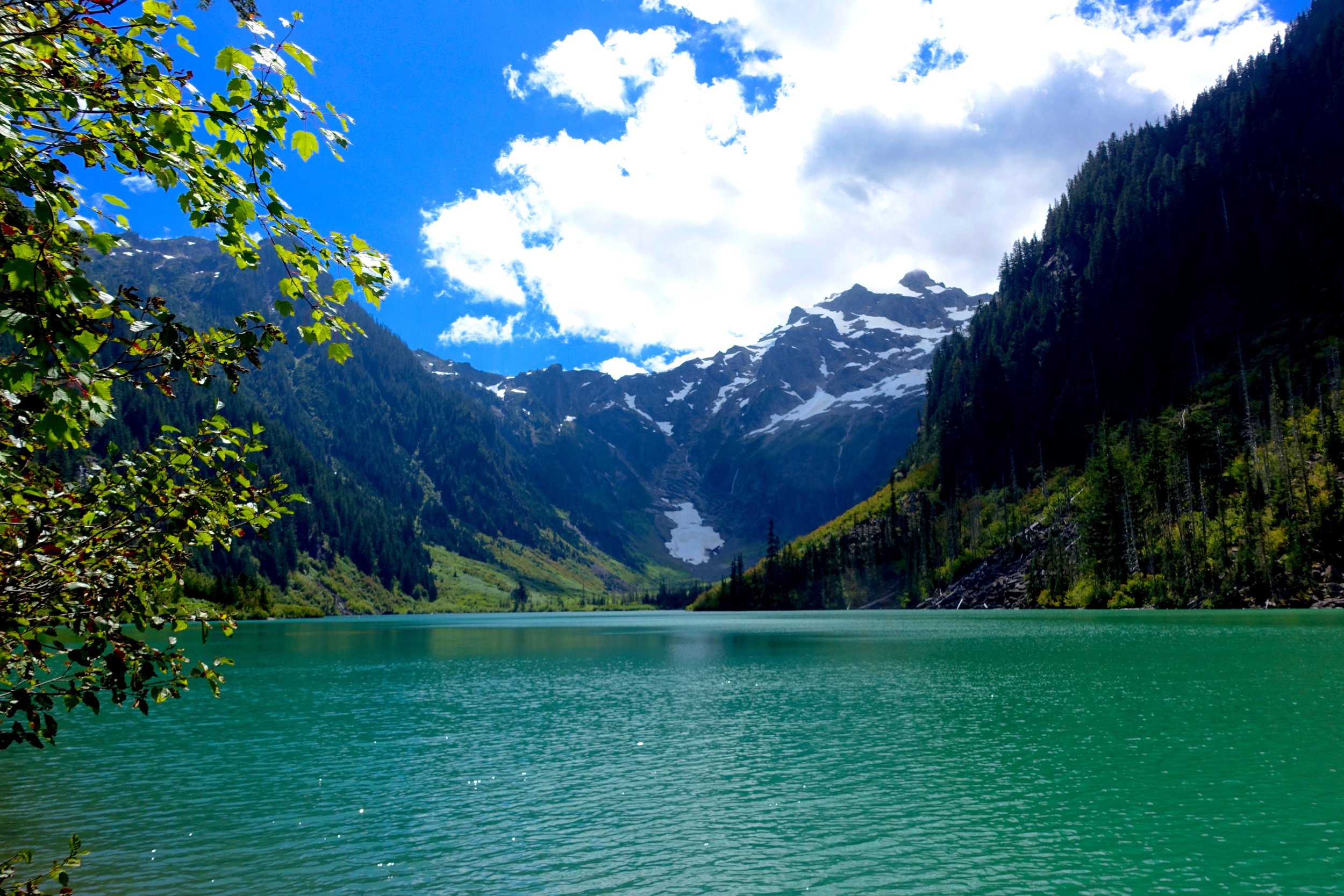
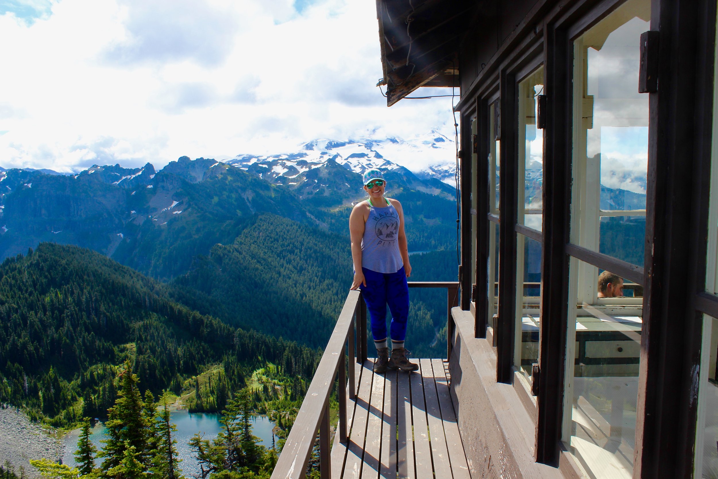
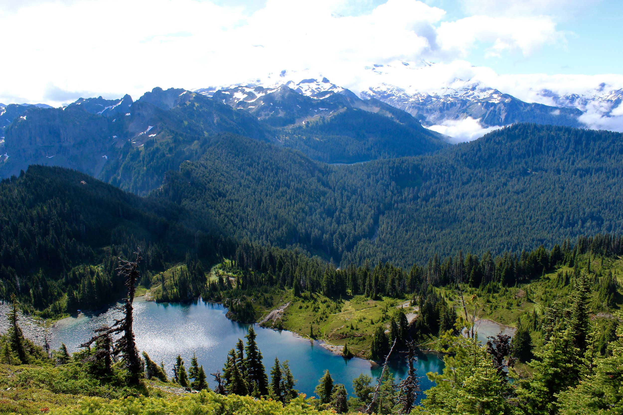
The last lake in the core would be Lake Viviane. So sad to leave the core. I want to be up there playing forever. We got an overlook shot of Snow Lakes down below before we made the decent to it. Getting down from the core is almost as getting up to it. So many times we were scaling boulders larger than cars with sketchy footing, using our hands and buts to safely get down. It was a brutal pounding on our knees until we hit the lake. 
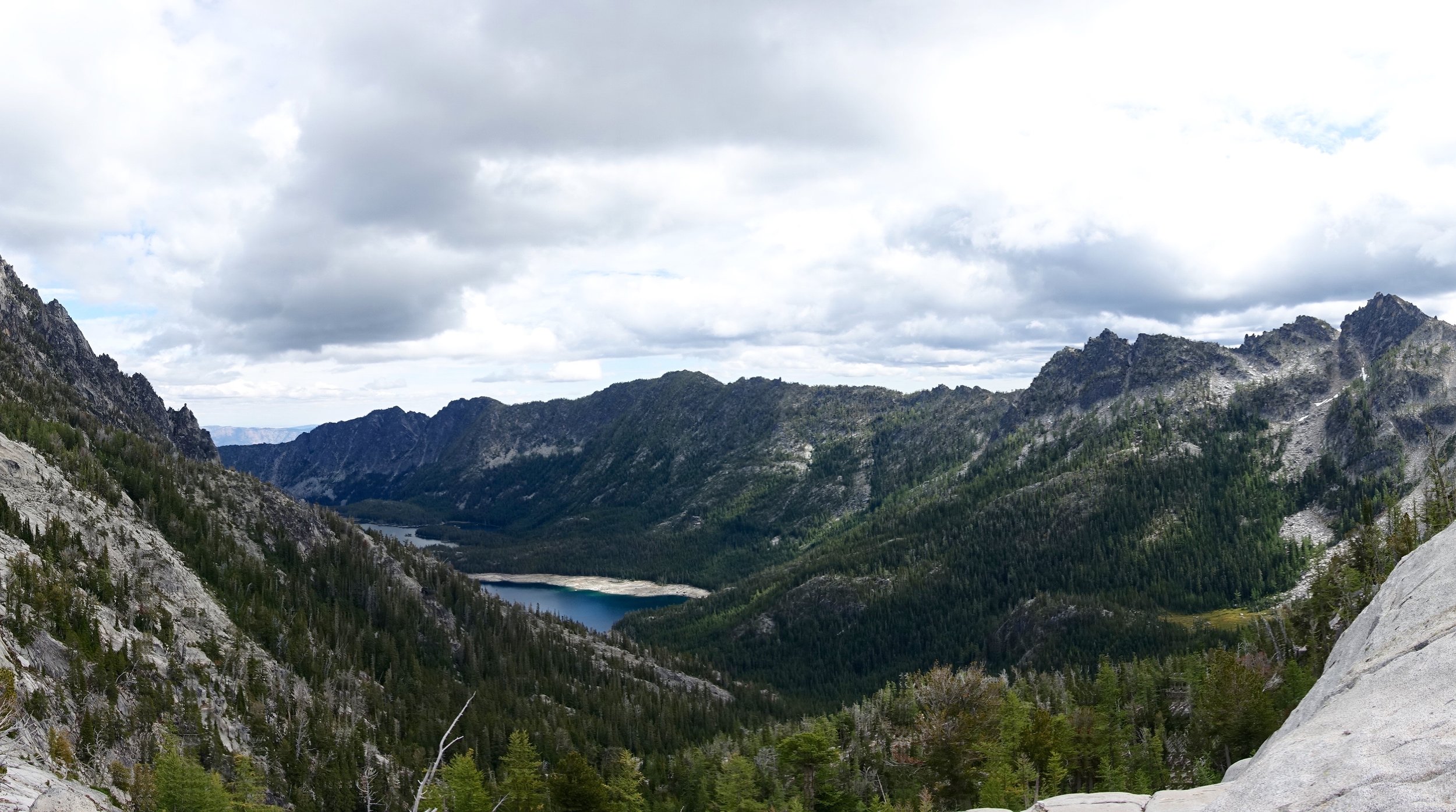


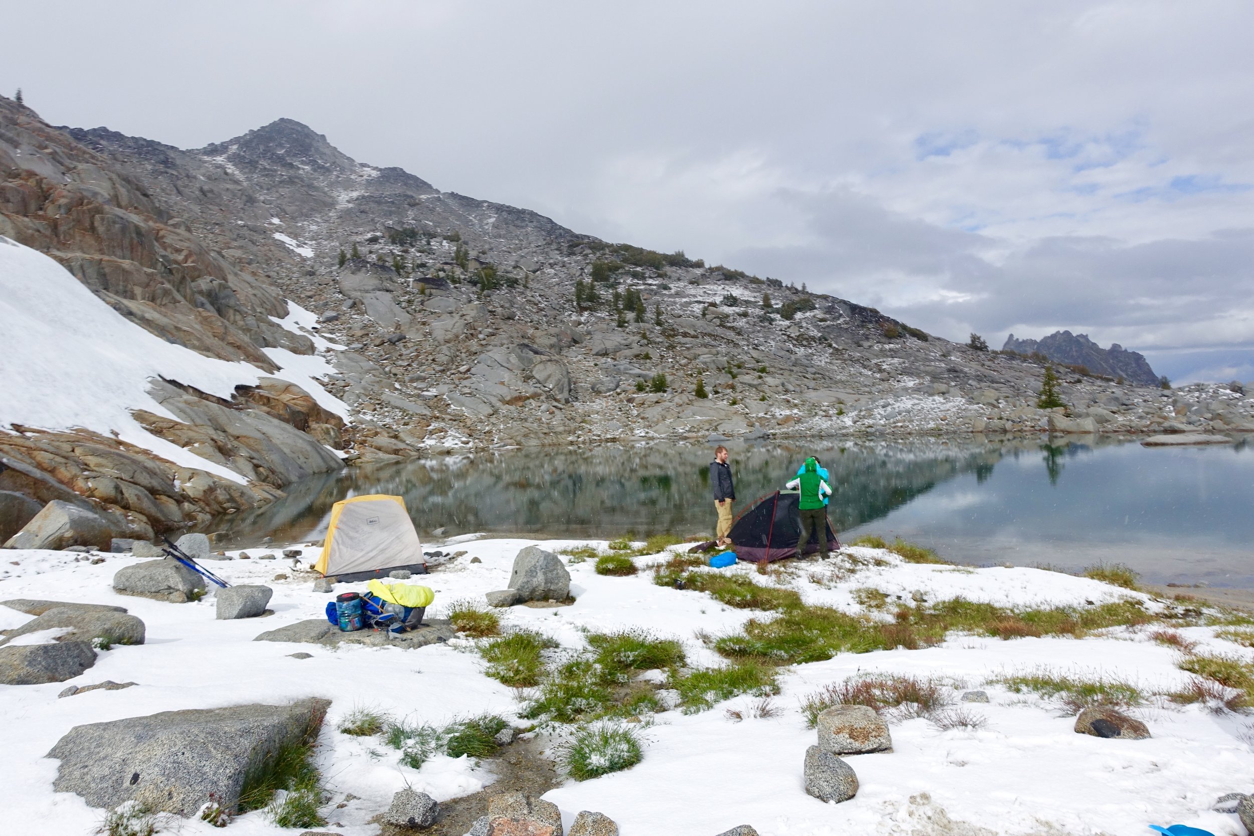
We finally made it to Snow Lakes and hit the first camp site we found. There was part of it in the woods and then we went out to a beach area beyond it and decided we definitely needed to camp on the beach.


We made dinner, actually got to hang out this night since it wasn't so cold, played Uno, drank more hot toddies and just enjoyed our last night of camping.
Day 4:
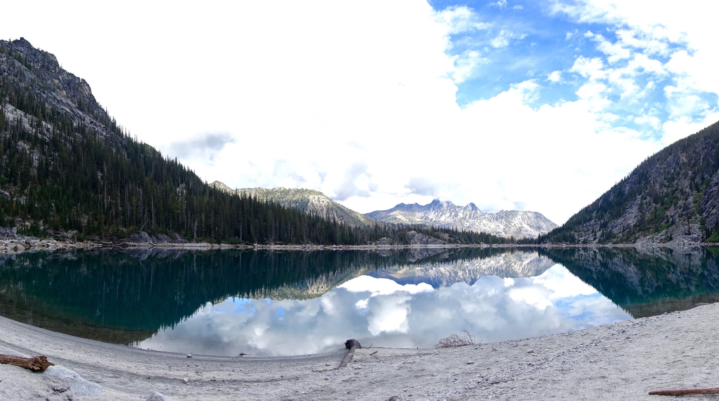
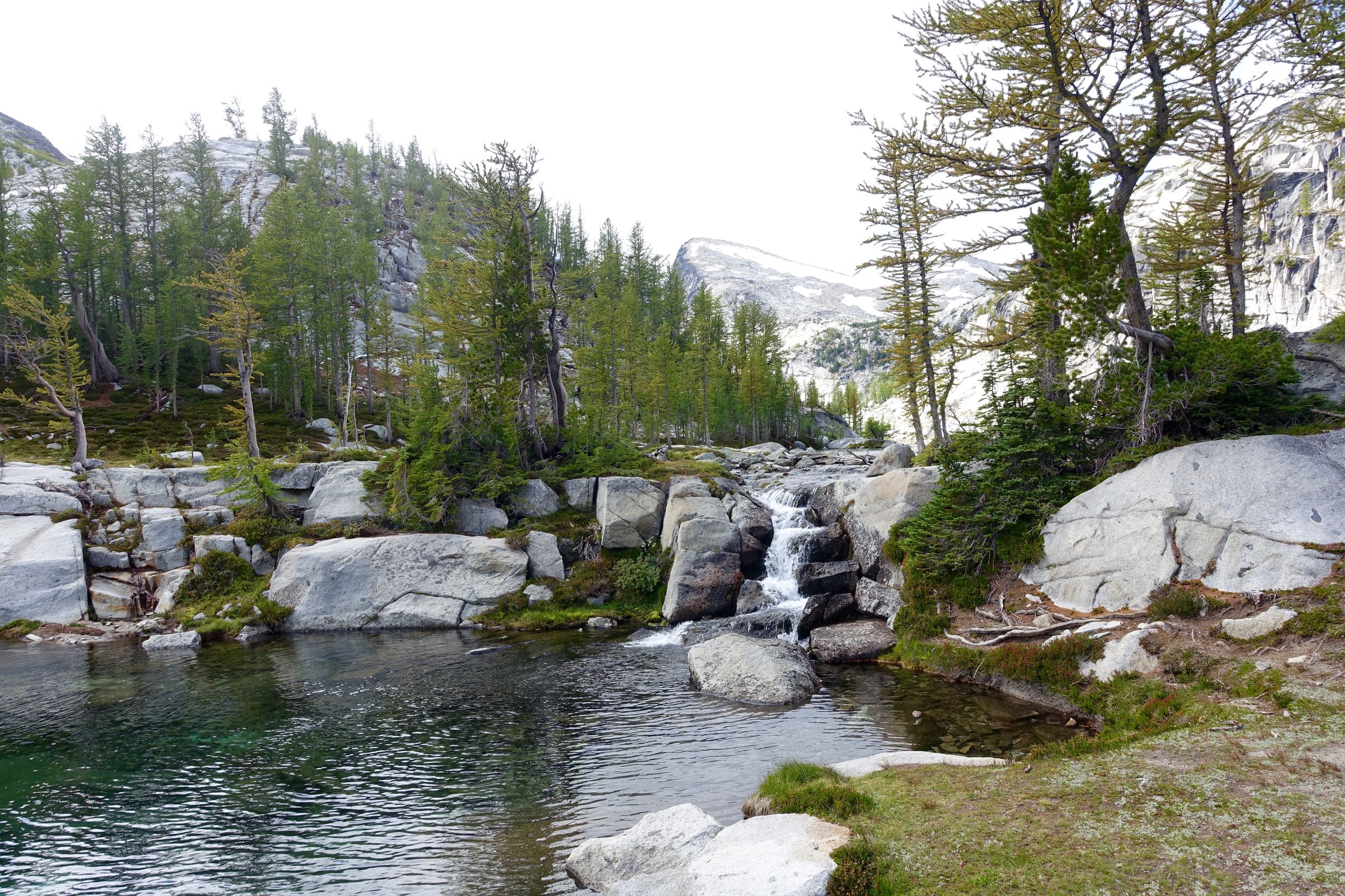
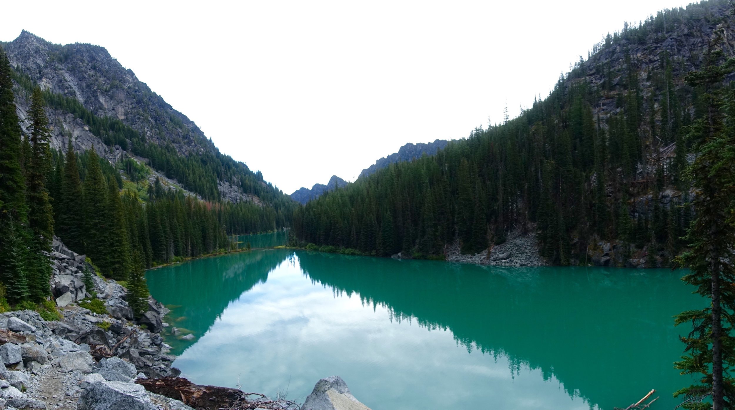
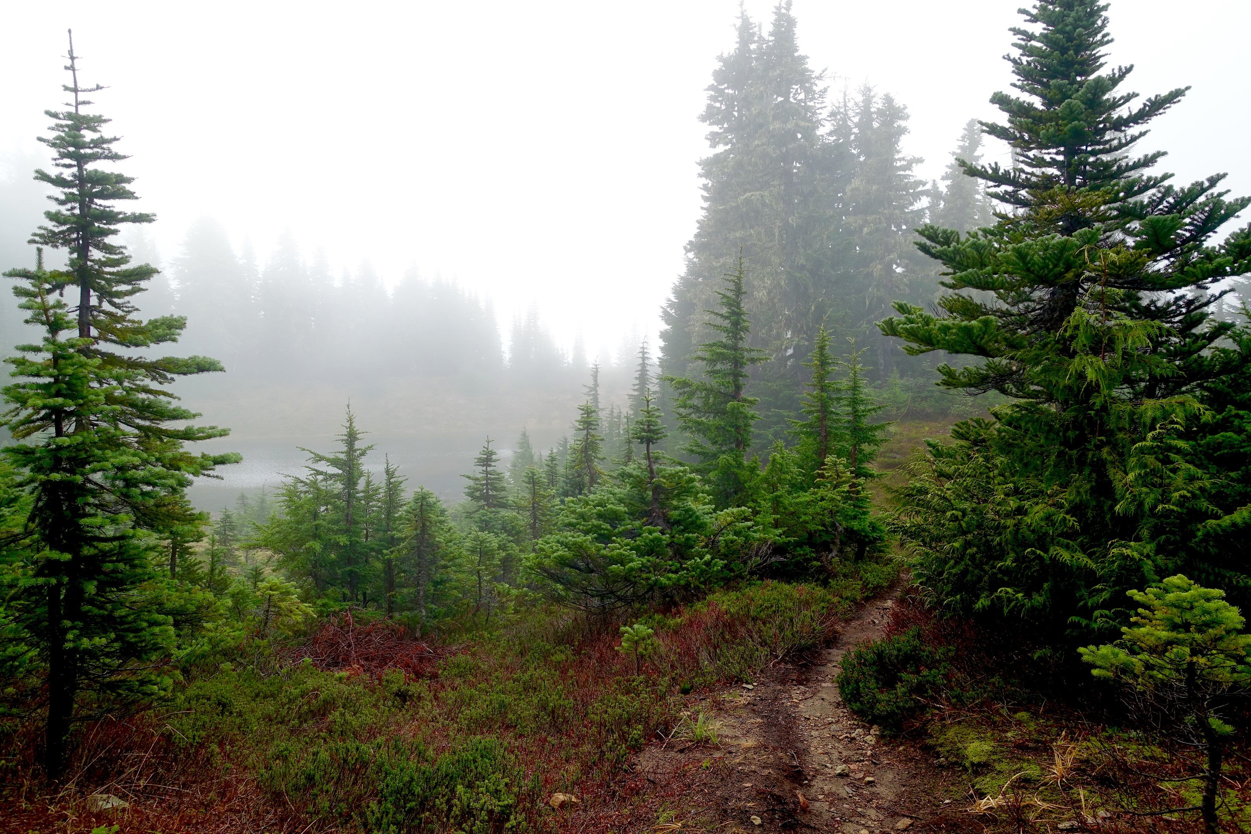
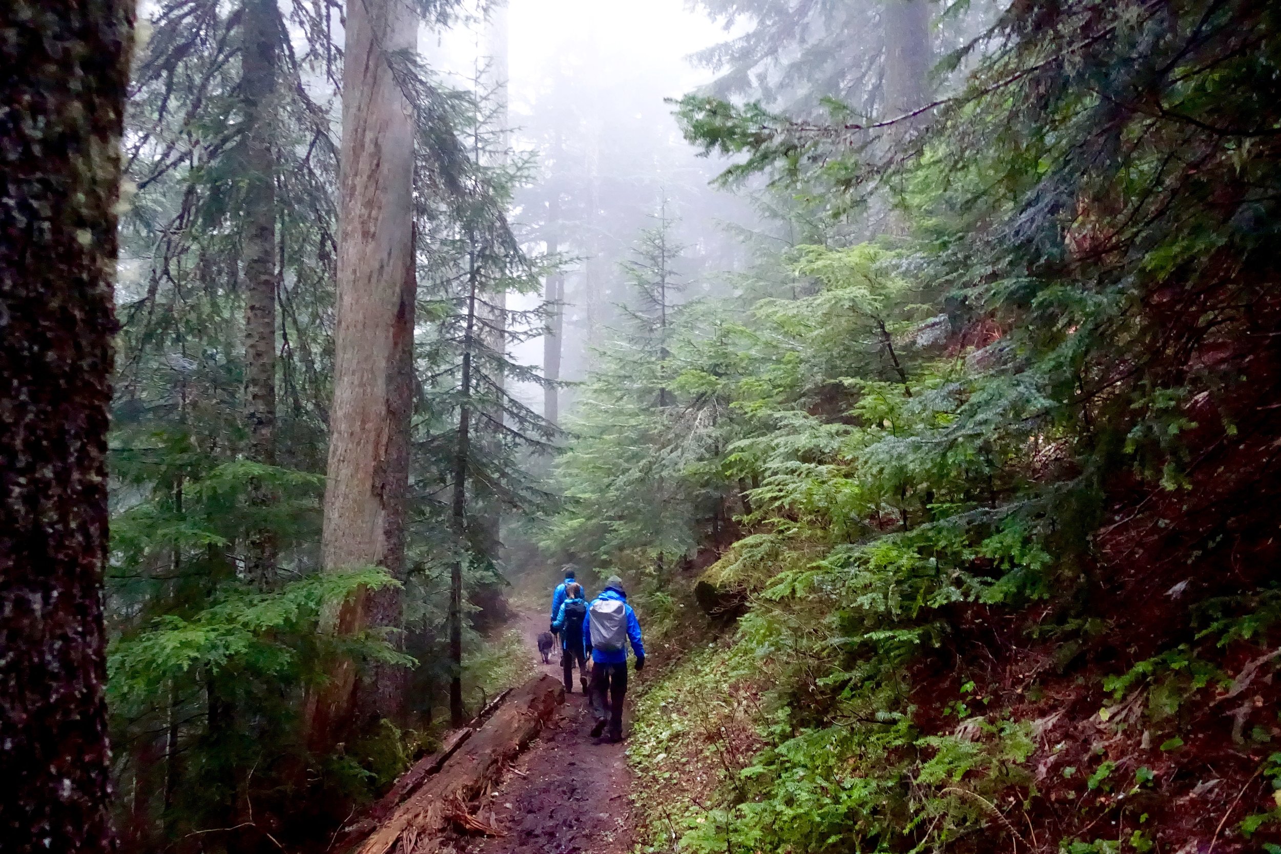
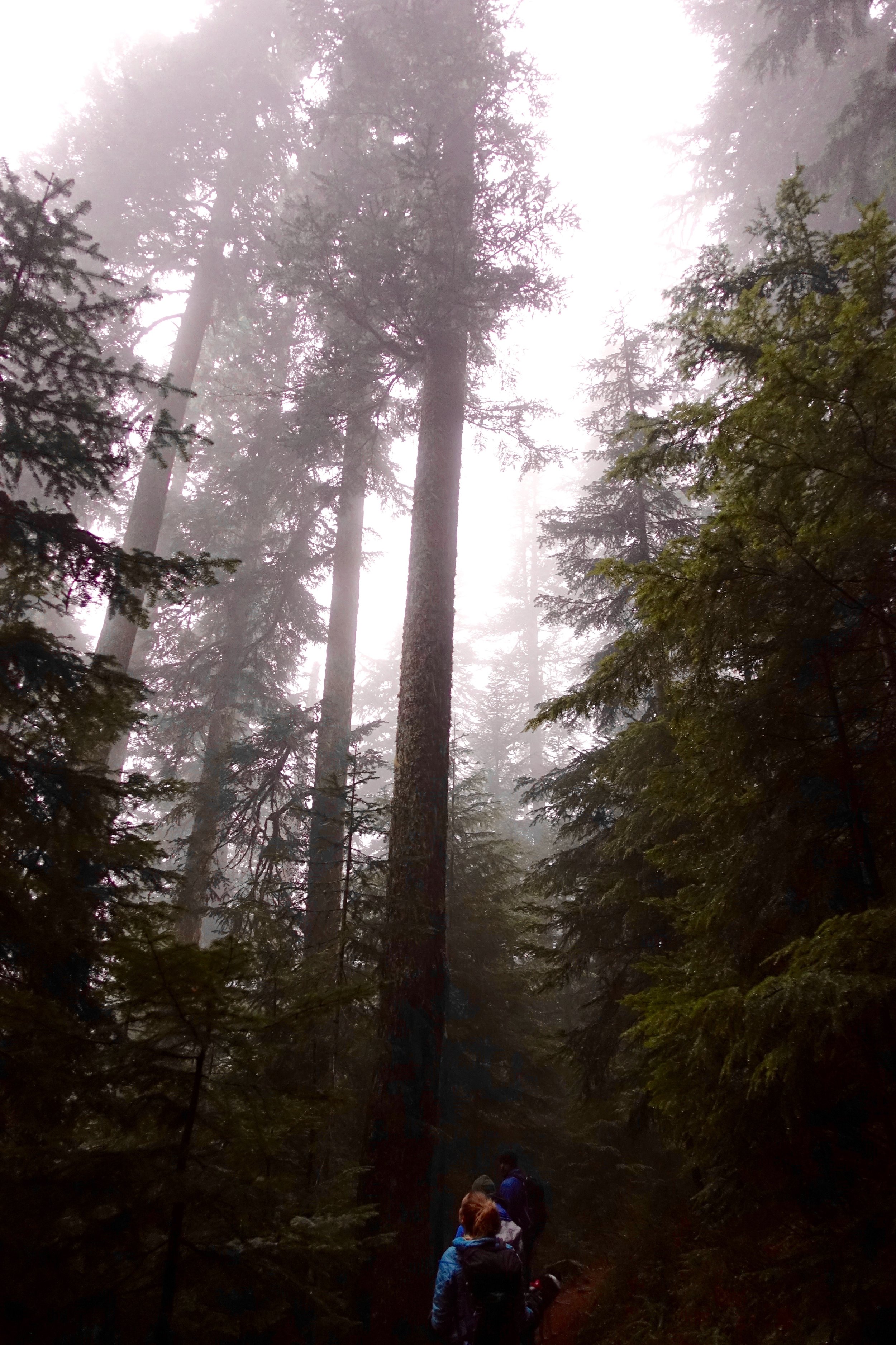
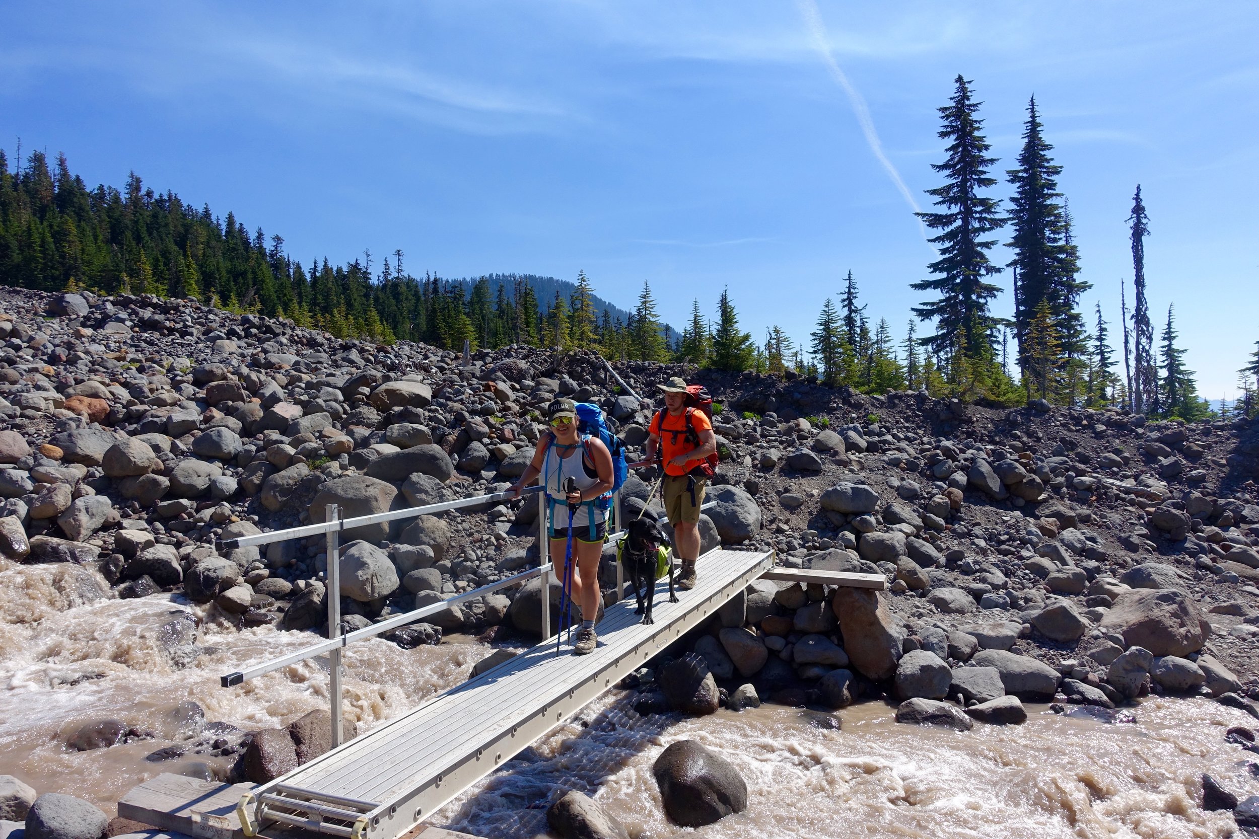
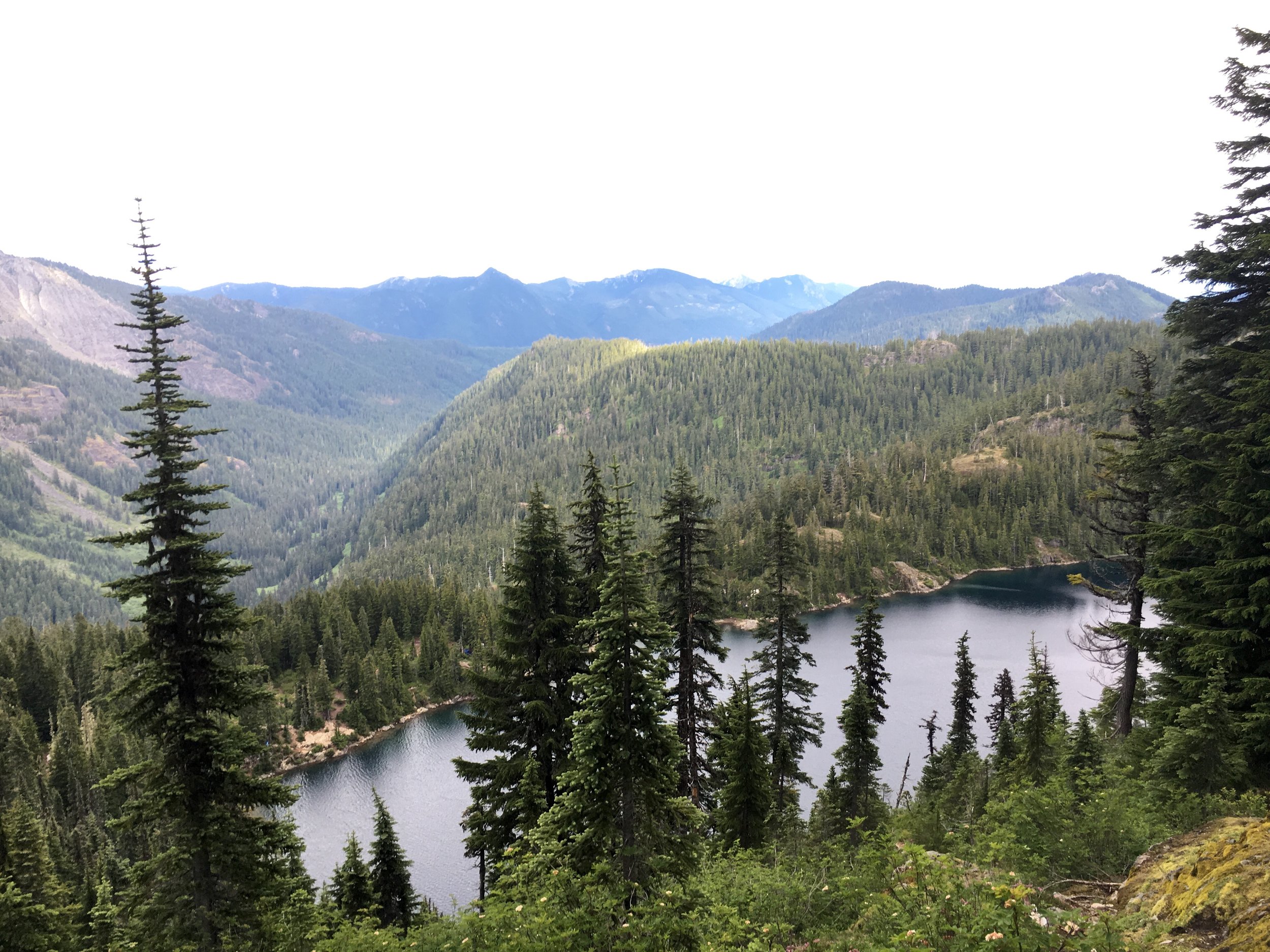
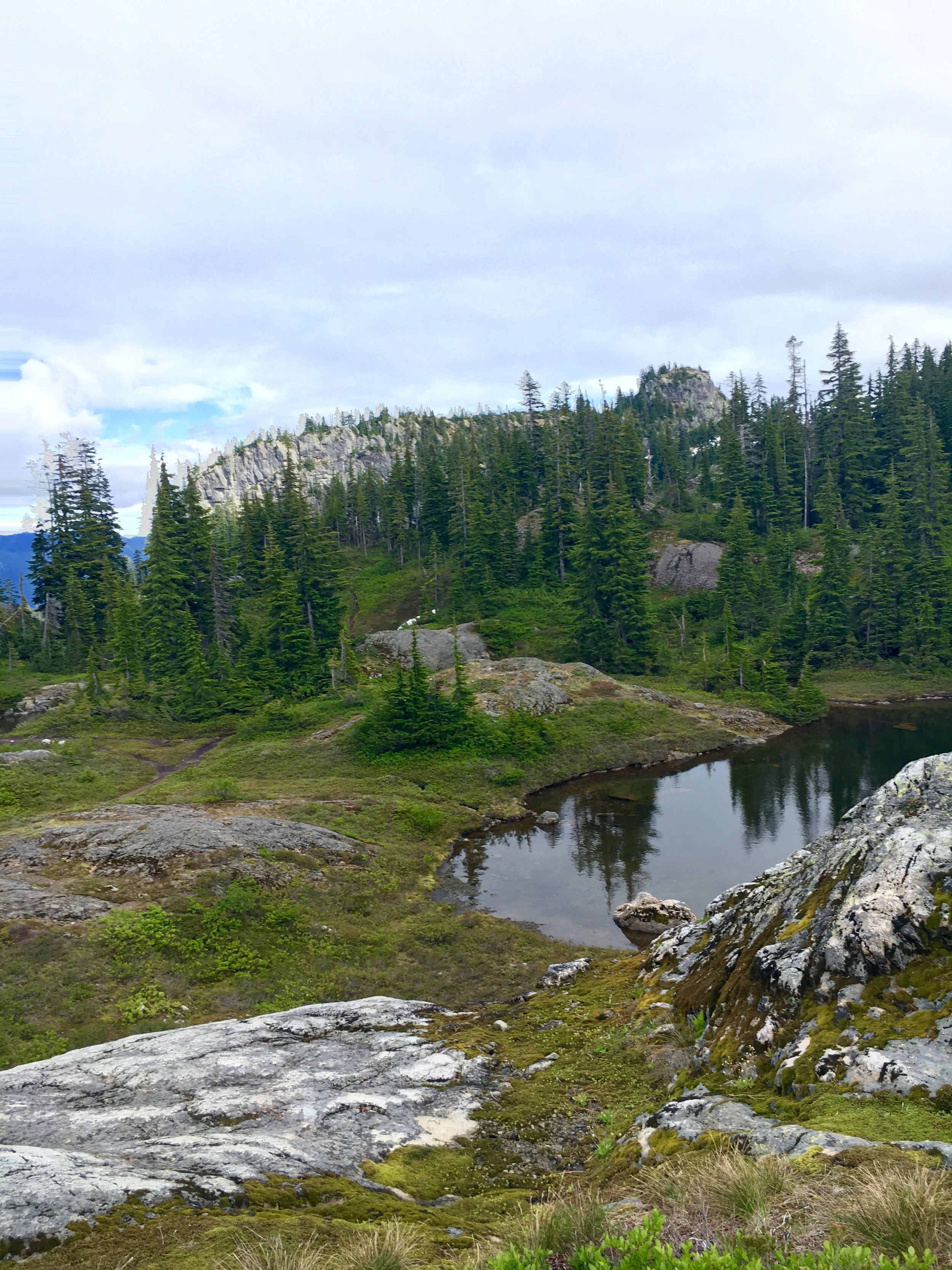
We wanted to get a very early start since we had 9 miles to hike out this day with 4000 feet of elevation loss.. Before I got into hiking I would think this means you can just basically run down the mountain. What this actually looks like is a very rocky terrain that slows you down a lot since you don't want to trip and take a tumble down the mountain. The whole terrain of the enchantments was very rocky and brutal to hike on. So we woke at 5:30 to the pitter patter of rain on the tent. Lovely. Ryan and I packed all of our stuff in the tent up first and then the rain actually stopped. We made oats and coffee and tried to quickly get everything together. We were out before 8 AM and hit the trail. We picked up a quick pace right away as it was relatively easy terrain through the woods around Snow Lakes. We got to the bottom of upper snow lakes and then saw lower snow lakes and crossed a dam. A little while later we got to Nadda lake. This was the greenest lake we had seen the whole trip and was very pretty. We were back to the very rocky terrain that was hard to hike on again as well.


Nadda lake had many camp sites that were gorgeous. I think I've decided as long as I live in Washington I should apply for permits. No what what zone I get it will all be gorgeous. The hike out after Nadda lake was about 5 miles and this was probably the longest, most boring section of the entire trip. Just all mostly in woods and it felt like it was taking forever. In one part we stopped to have snacks and rest a bit and another group stopped there after us. This group caught up with us again a little bit later and they said that right after we left a mama bear and 2 cubs crossed the trail! The bear must've been watching us the whole time until we left to cross. Gives ya the heeby-jeebies knowing you were that close to a bear. It took us about 5 hours to hike those 9 miles out. Not too bad. When we got to the trailhead we cheered in victory that we made it. What an accomplishment it was. It was super hot and sunny and we were ready to go into town and get our victory beers. We first had to go pick up the other 2 cars at the other trail head. We then made our way to Leavenworth and went to Munchen Haus for brats and beers and pretzels. It was the best thing ever. We walked around town some, got ice cream and then said our goodbyes and made our way back to Seattle.


This trip is one that I will remember forever. The people were outstanding. Everyone came from such different paths of life but we made it through the mountains together in one piece. I would choose this group over and over again. We all uplifted each other in times we wanted to give up or throw in the towel. We laughed until we cried. We became better together.
The enchantments are such a special place for the variety of things you get to see in 20 miles, but you sure have to work for it. This trip will be very hard to top but has left me with the feeling of needing more. Needing more time in the mountains. Needing more miles under my boots. One of my profound thoughts from the trip was that I am happiest when I am outdoors in nature and I will continue to choose what makes me happiest.
"Be fearless in the pursuit of what sets your soul on fire."

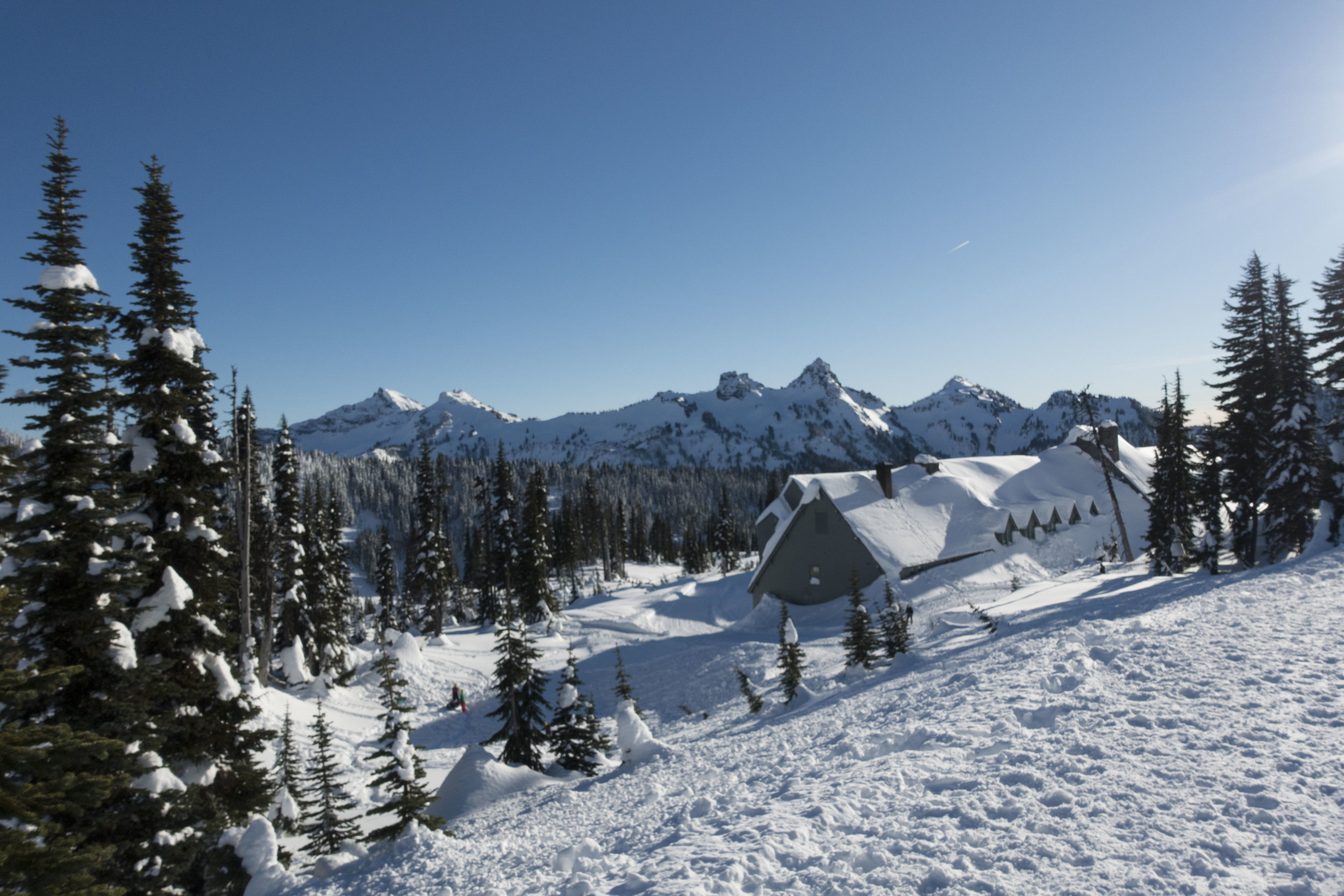
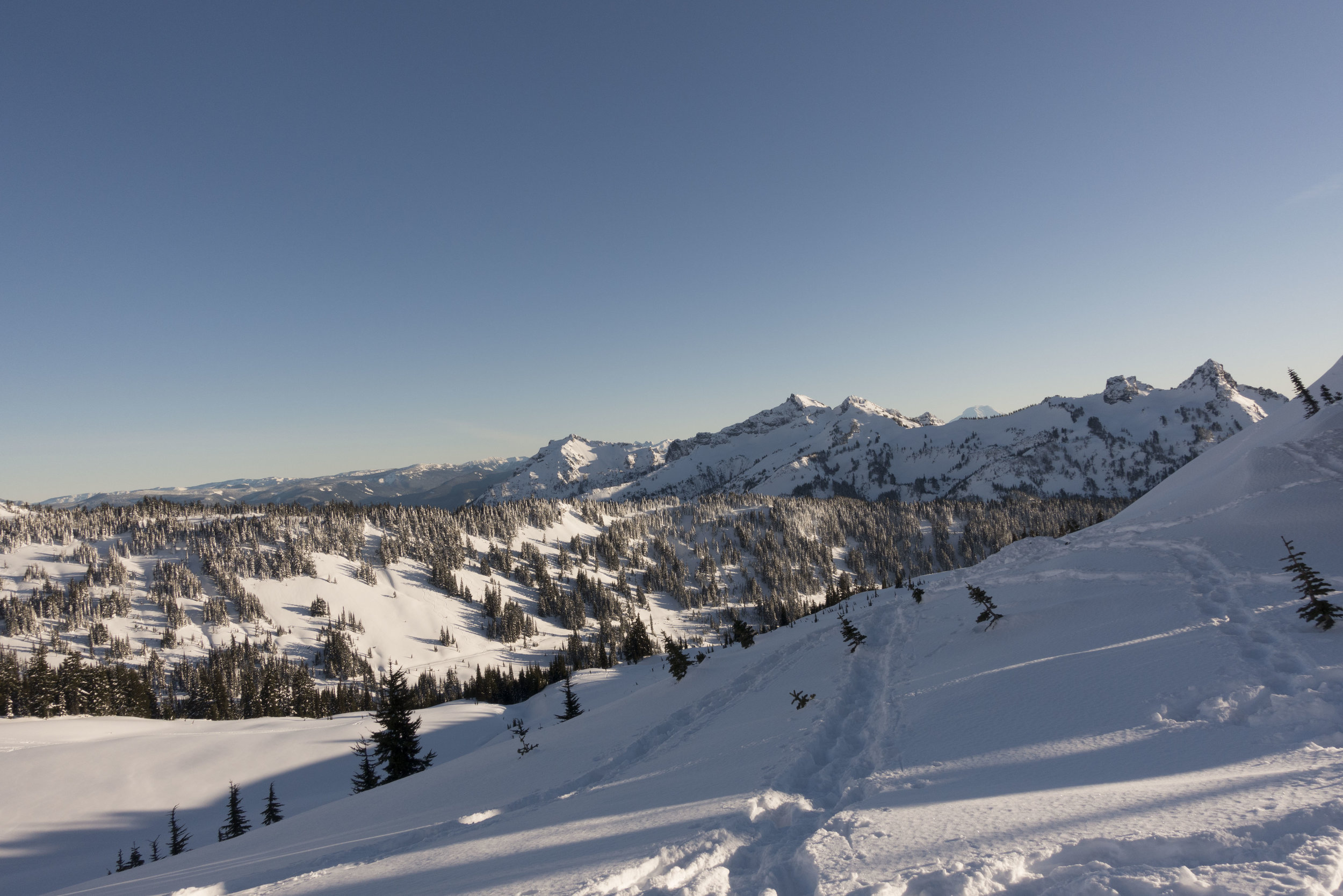
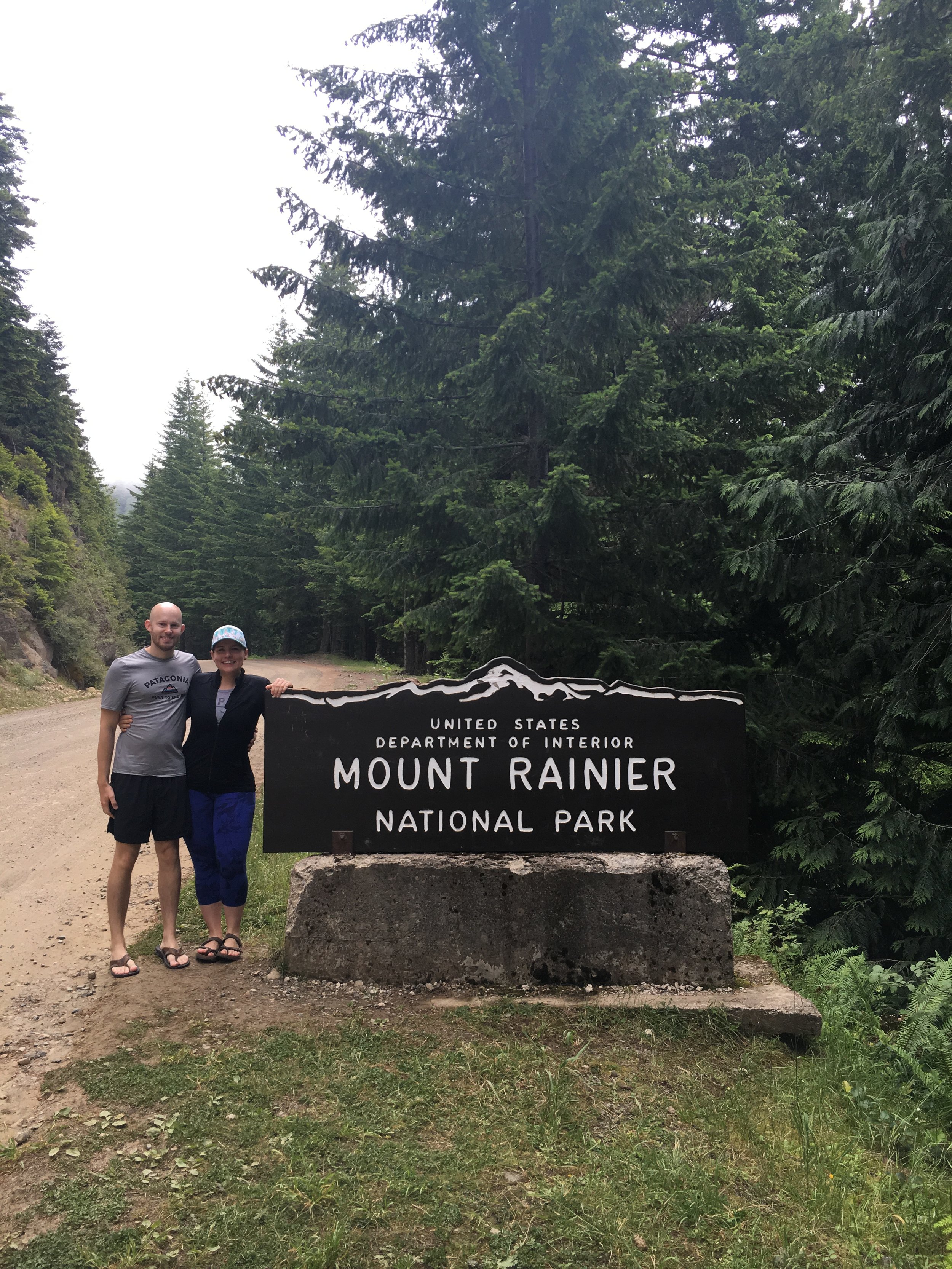
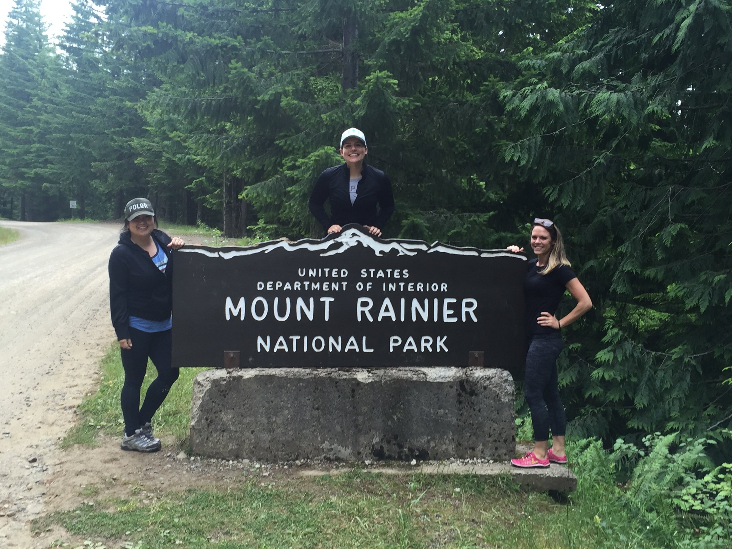
 Location: Paradise, Mt. Rainier (2.5 hours from Seattle)
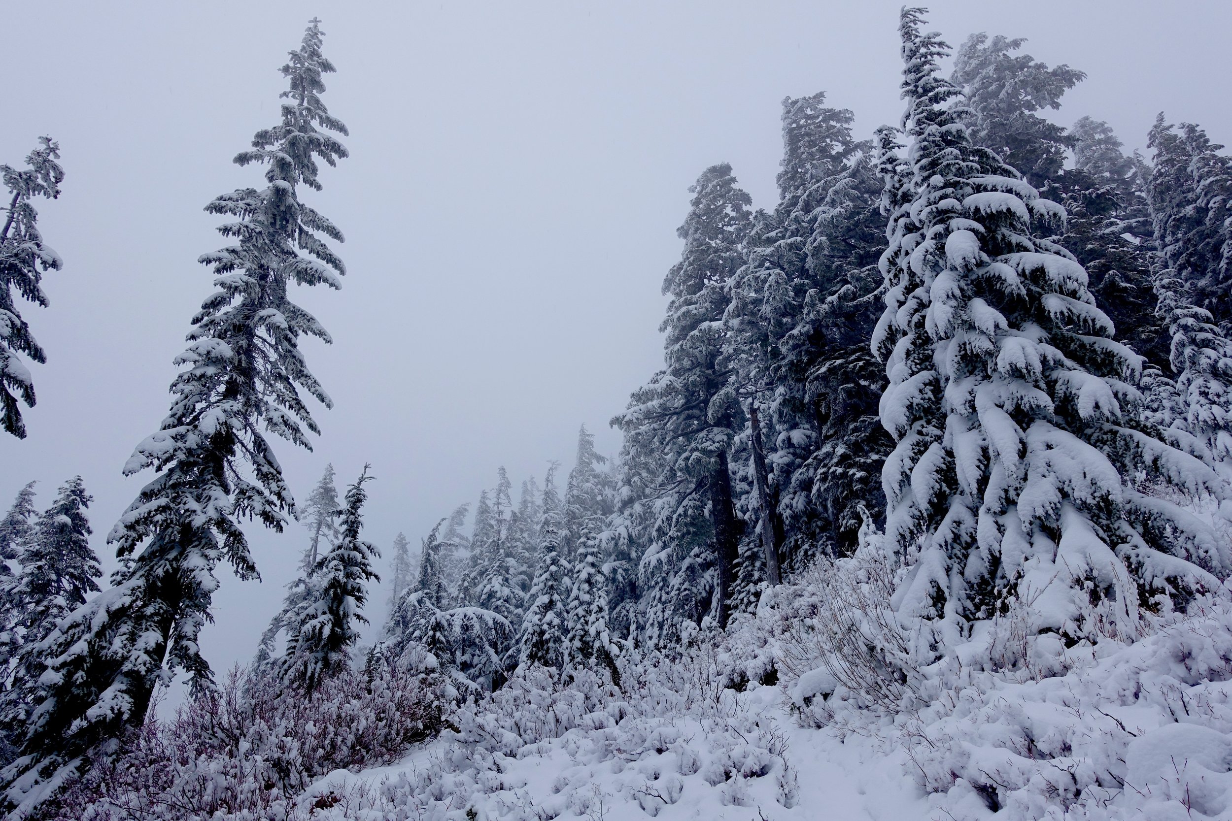
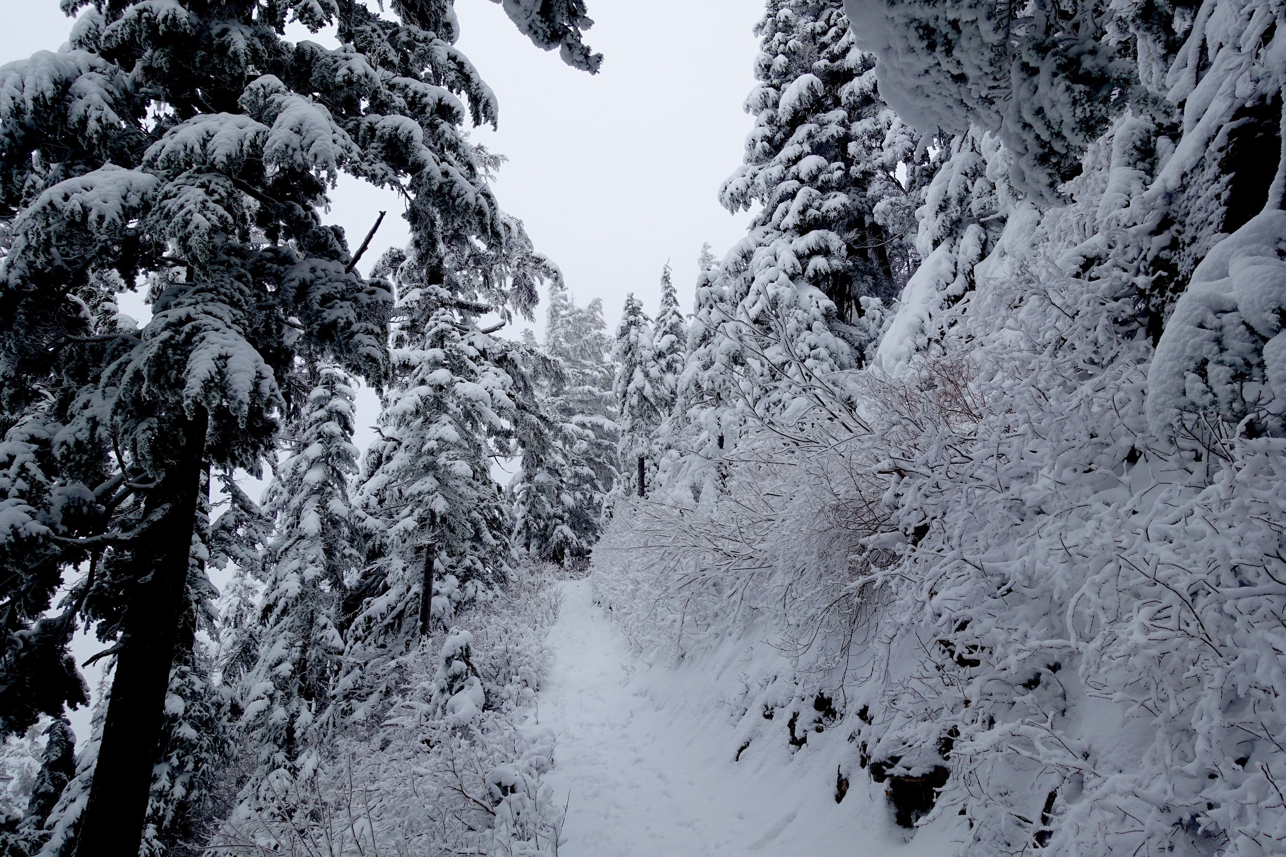
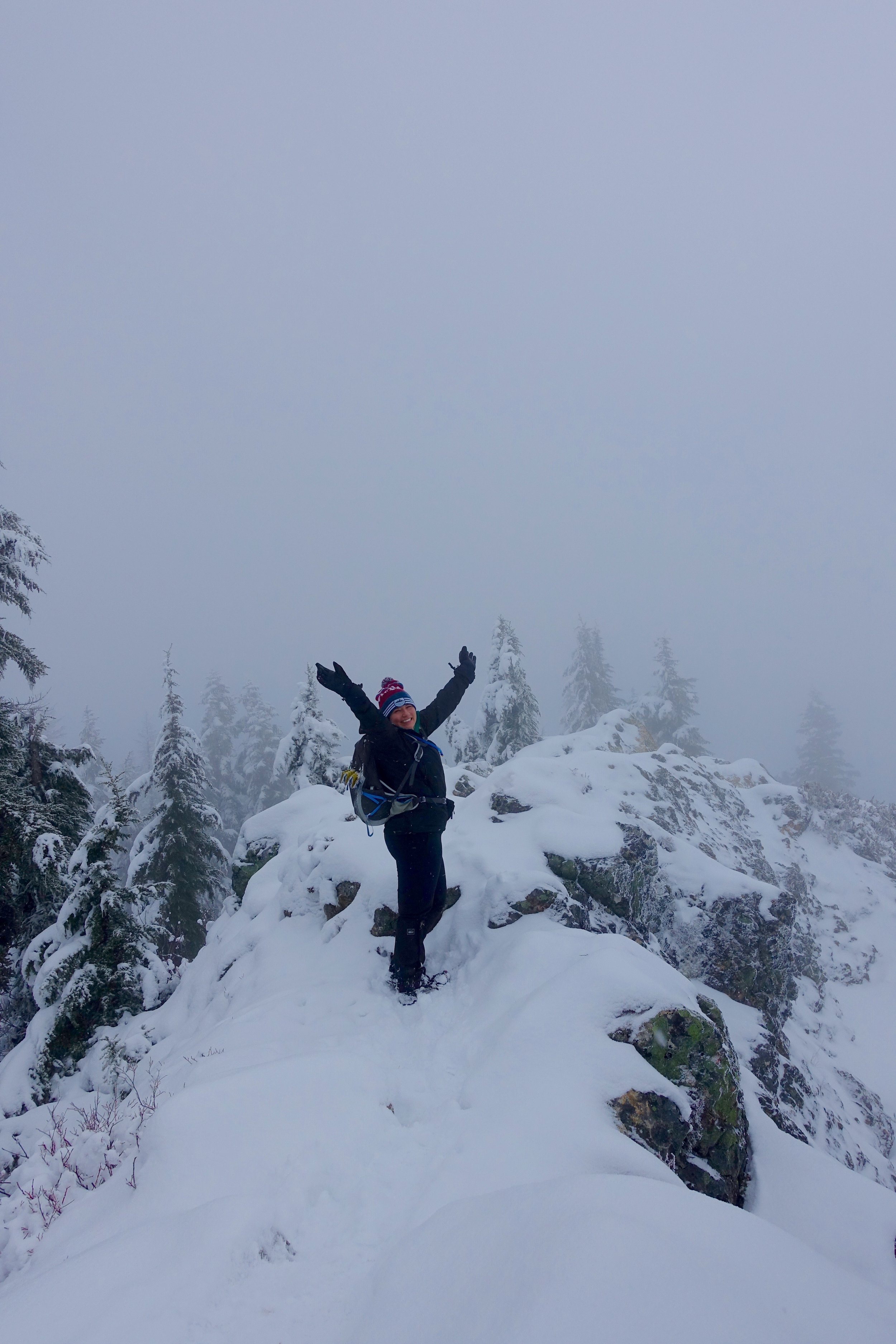
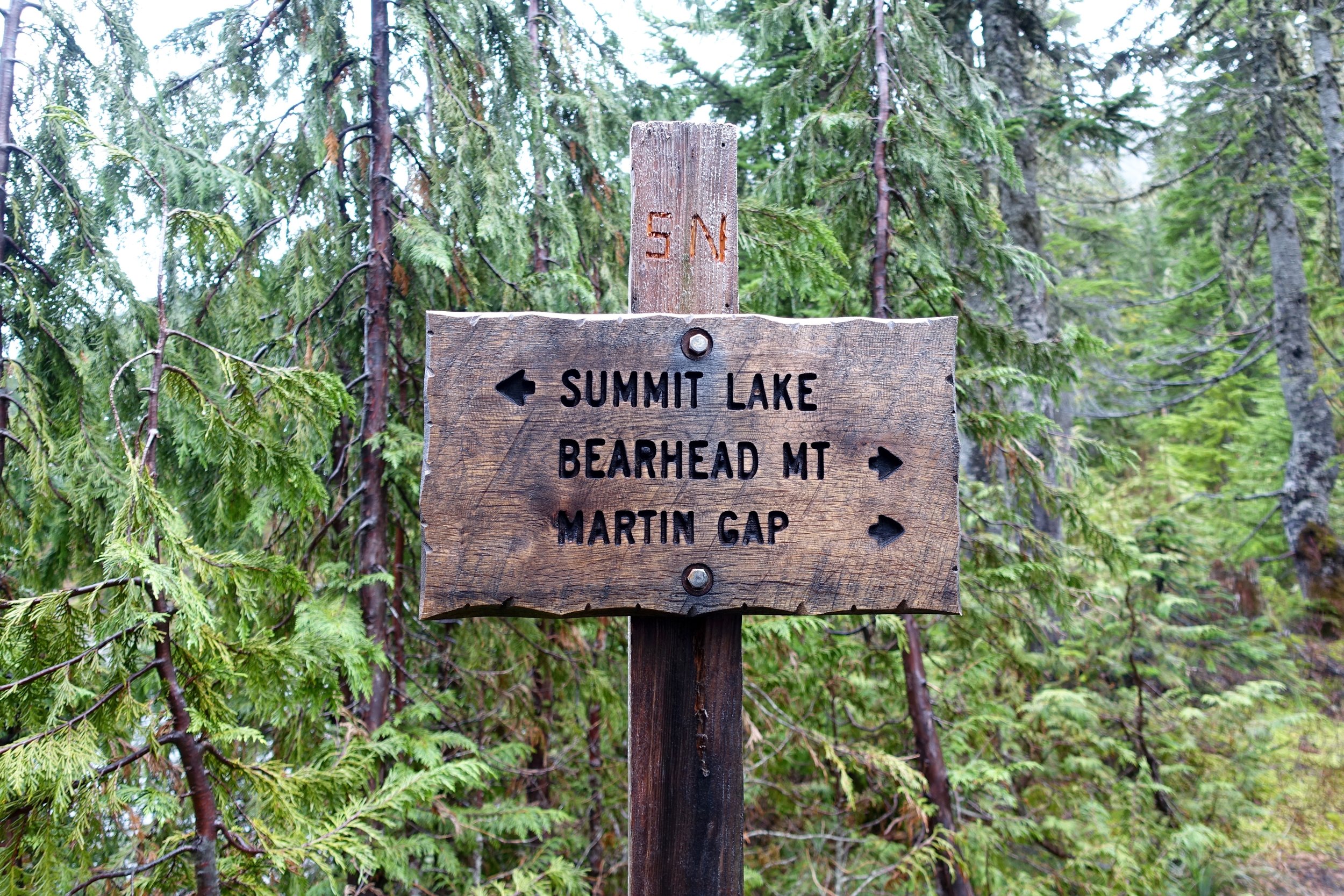
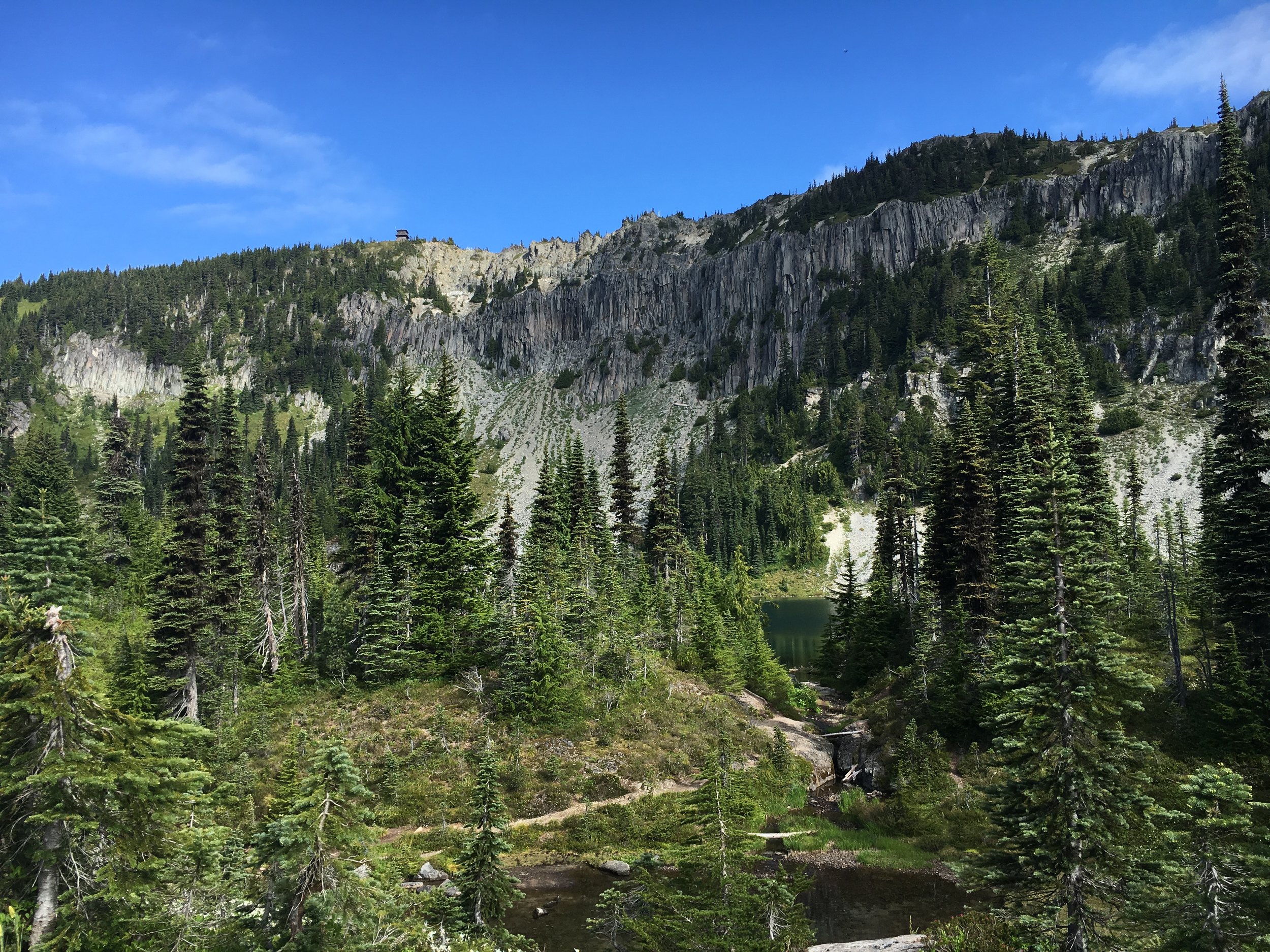
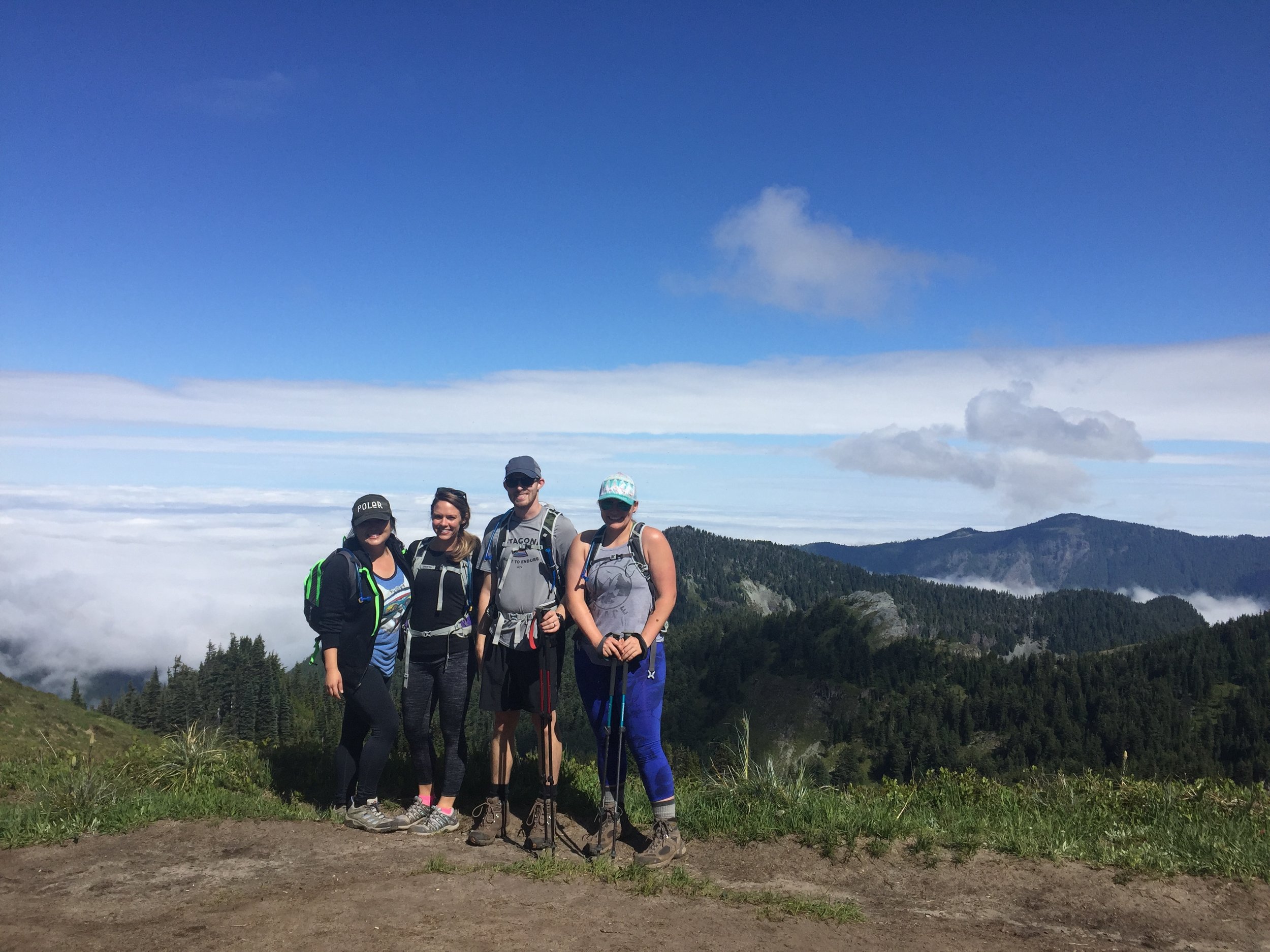
 Day Hike to Summit Lake near Mt. Rainier.


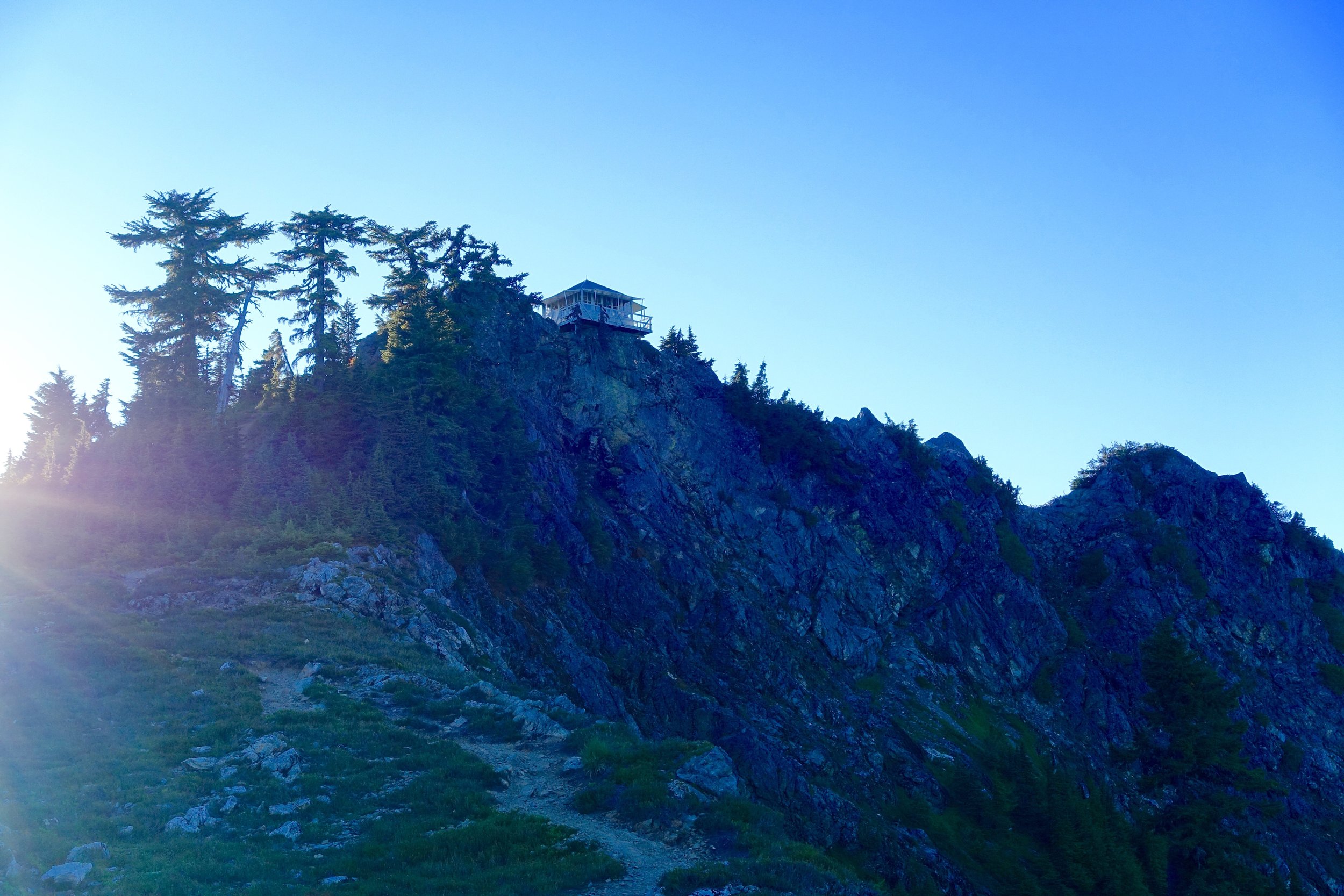
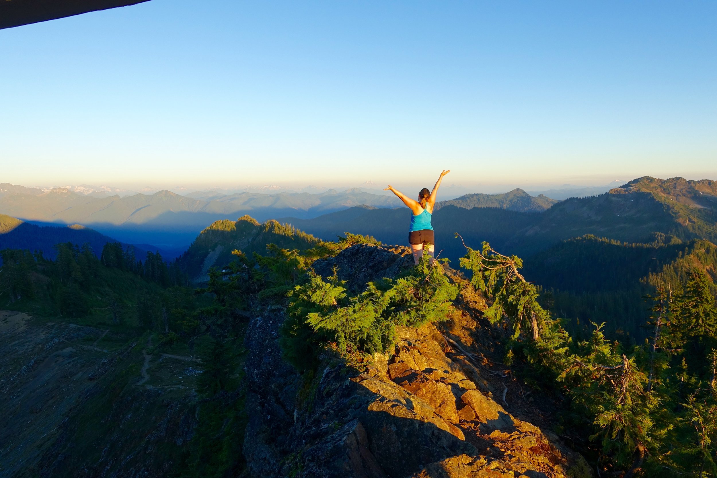
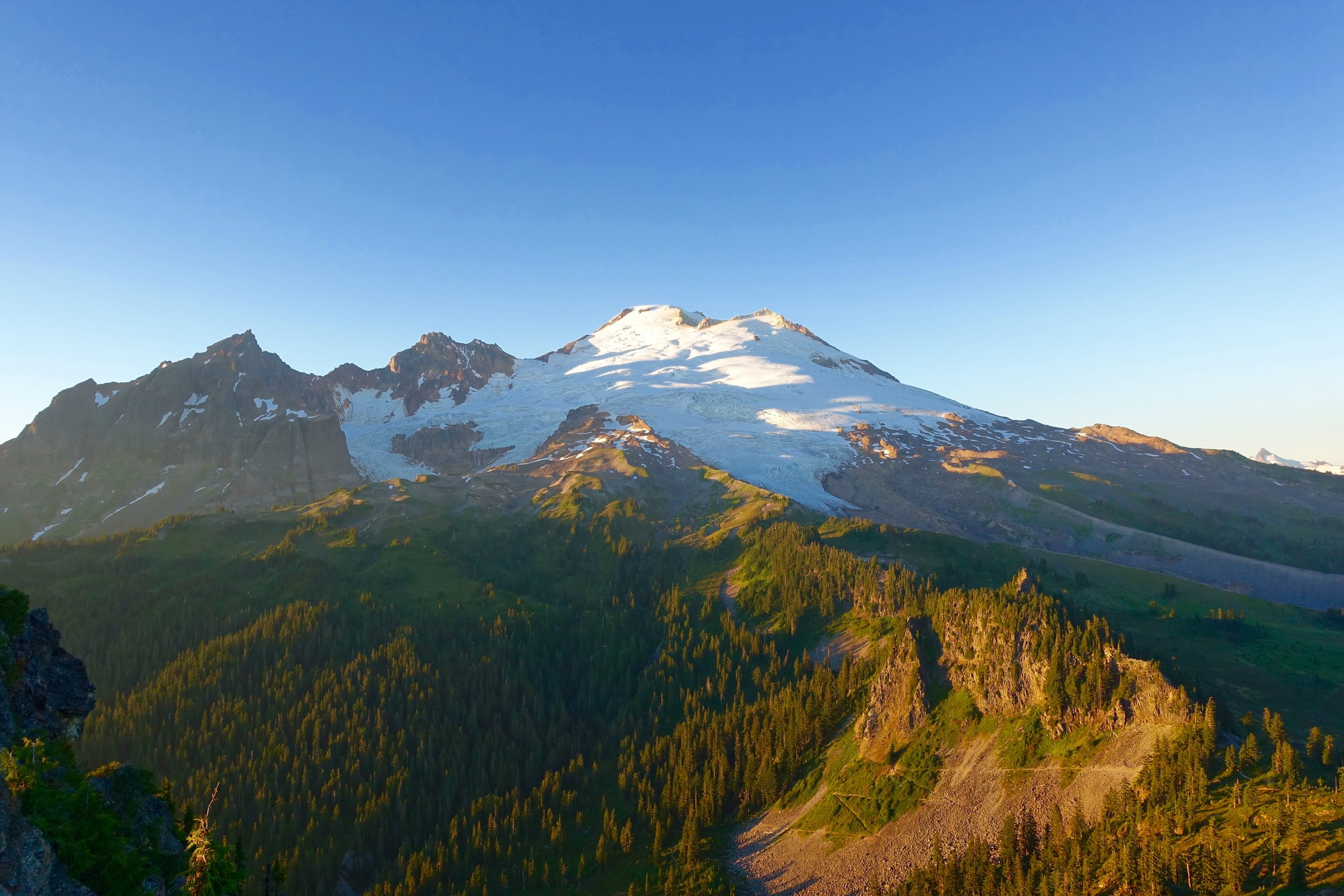
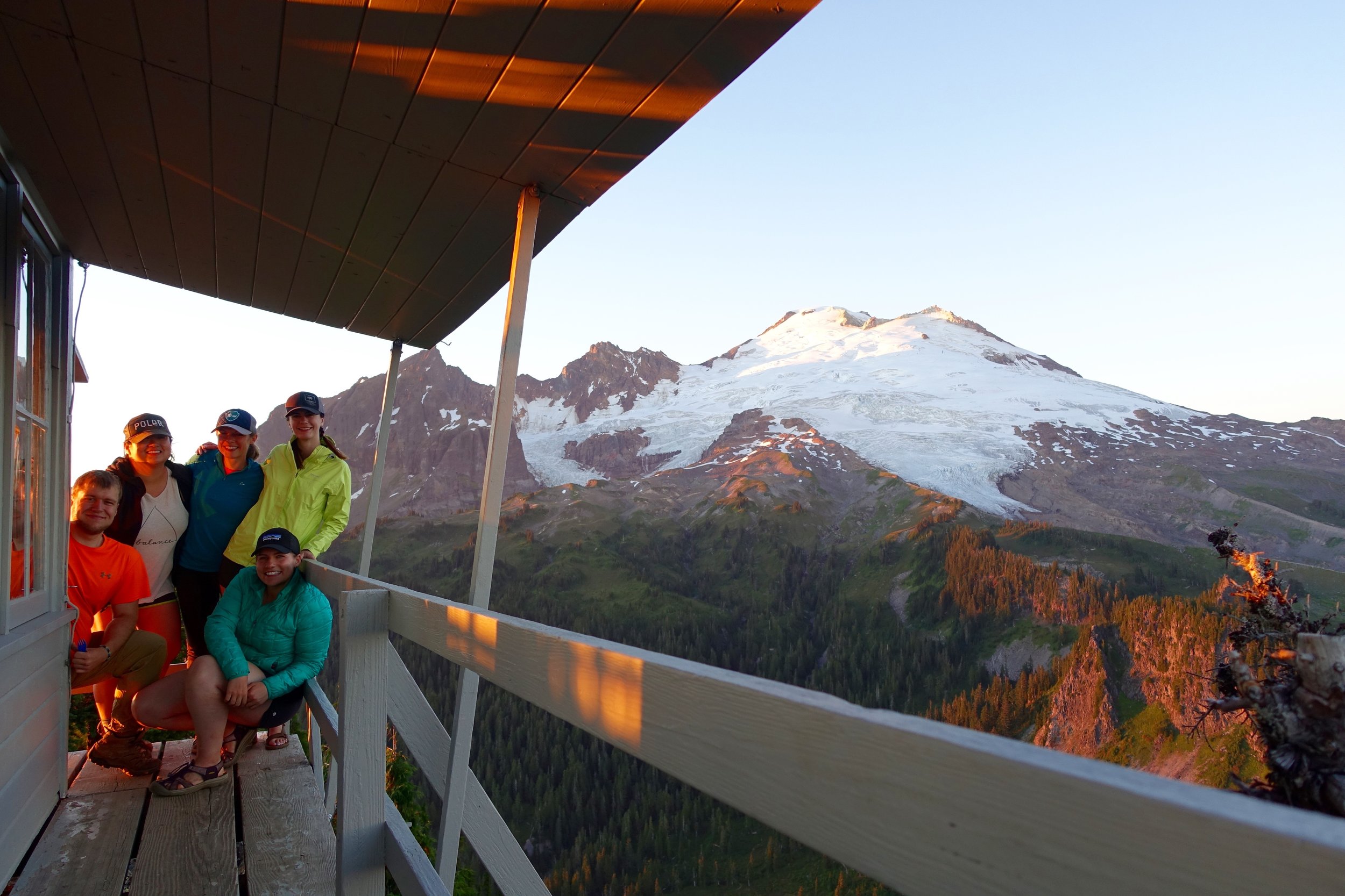
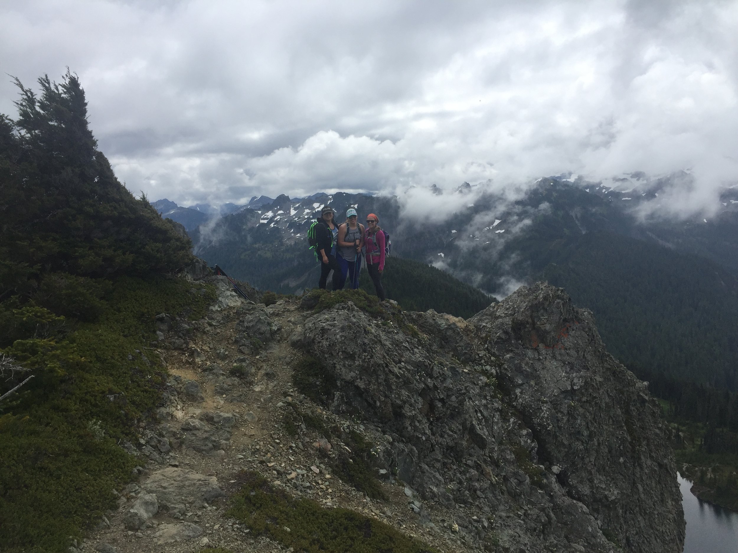
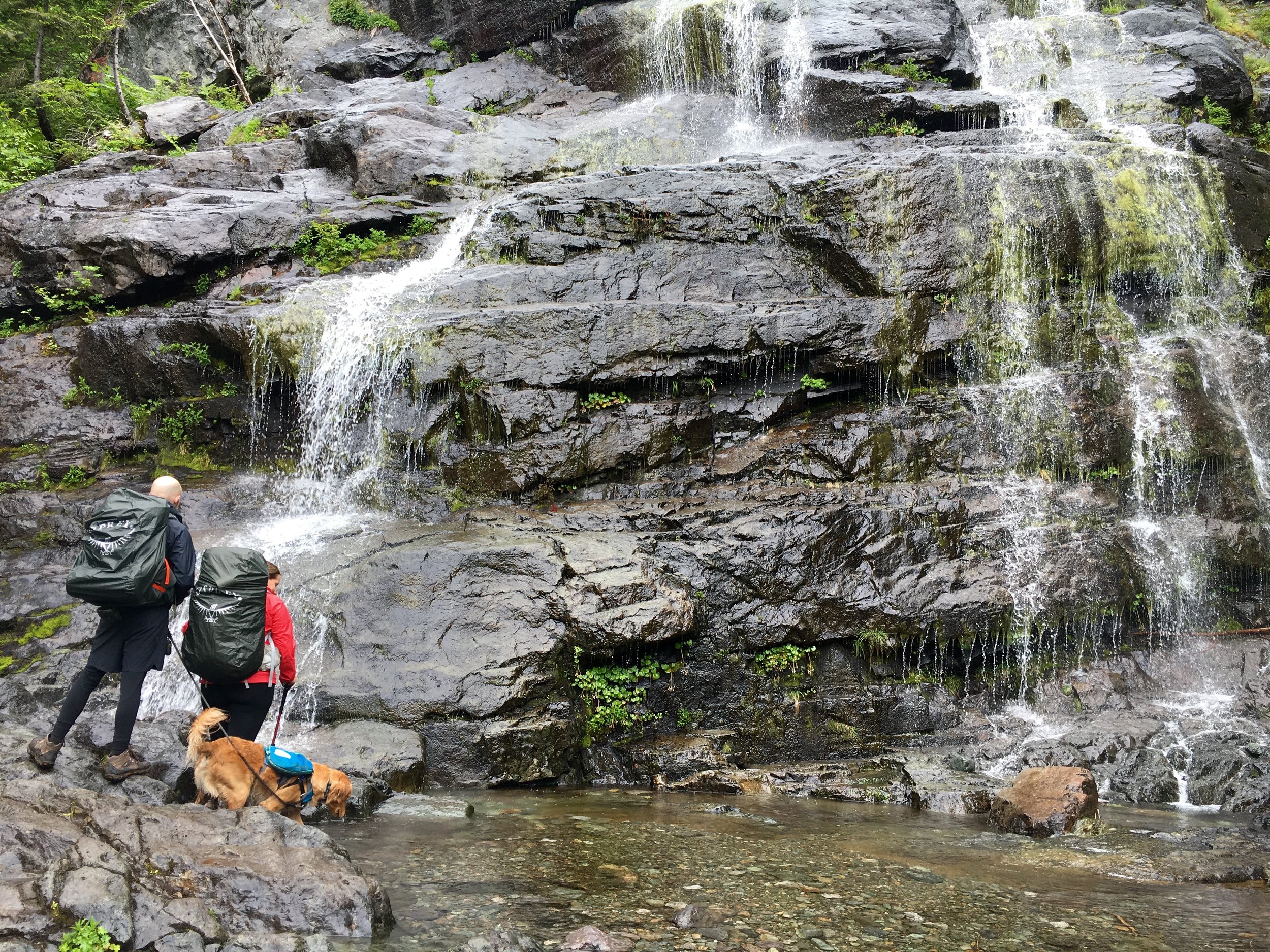
 Where: Mt. Baker Wilderness
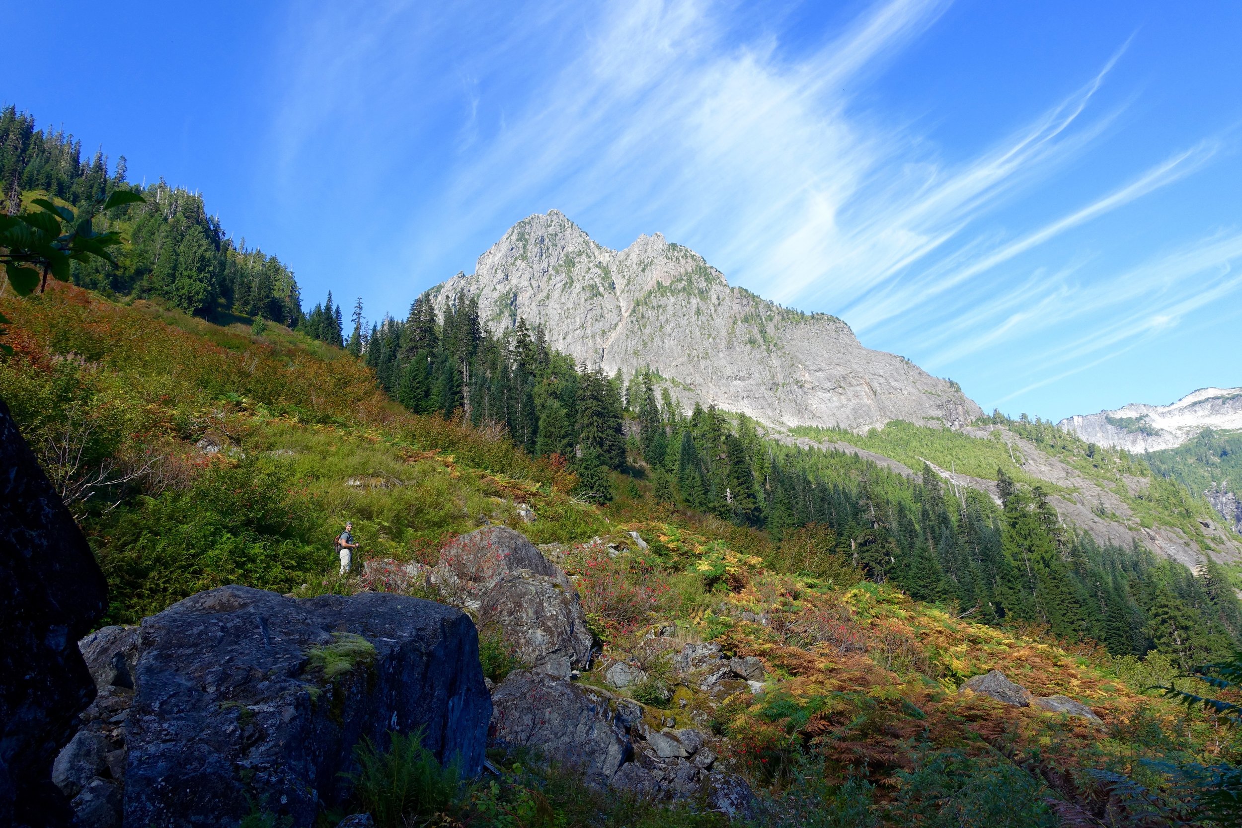
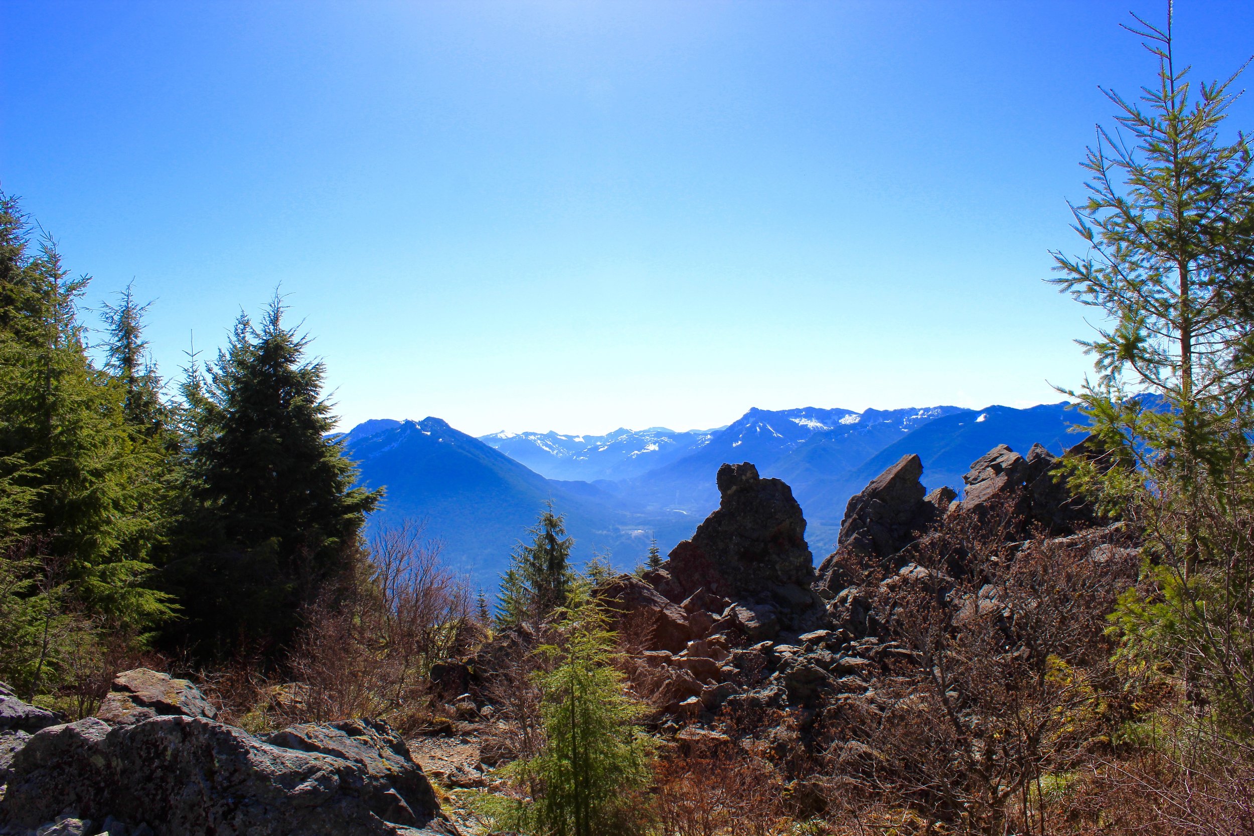
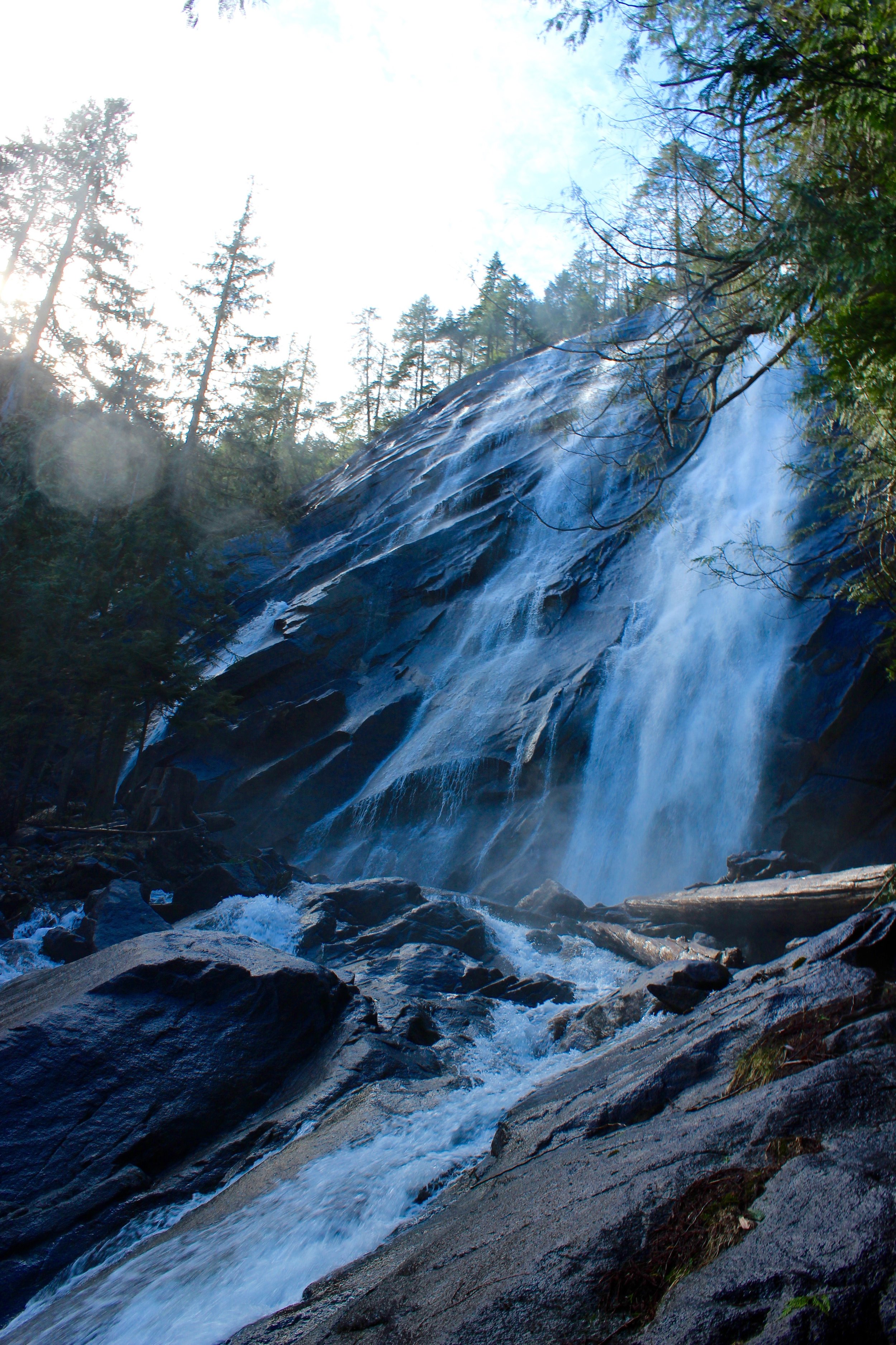
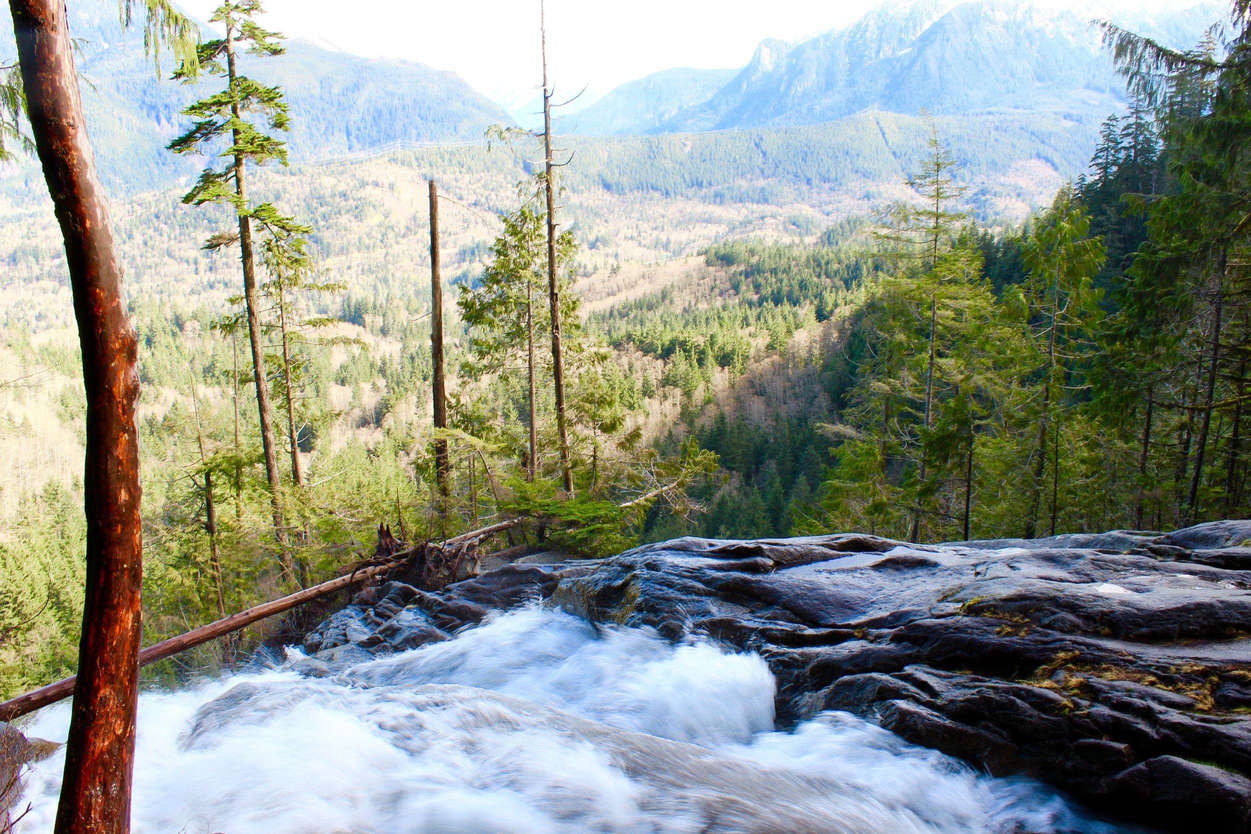
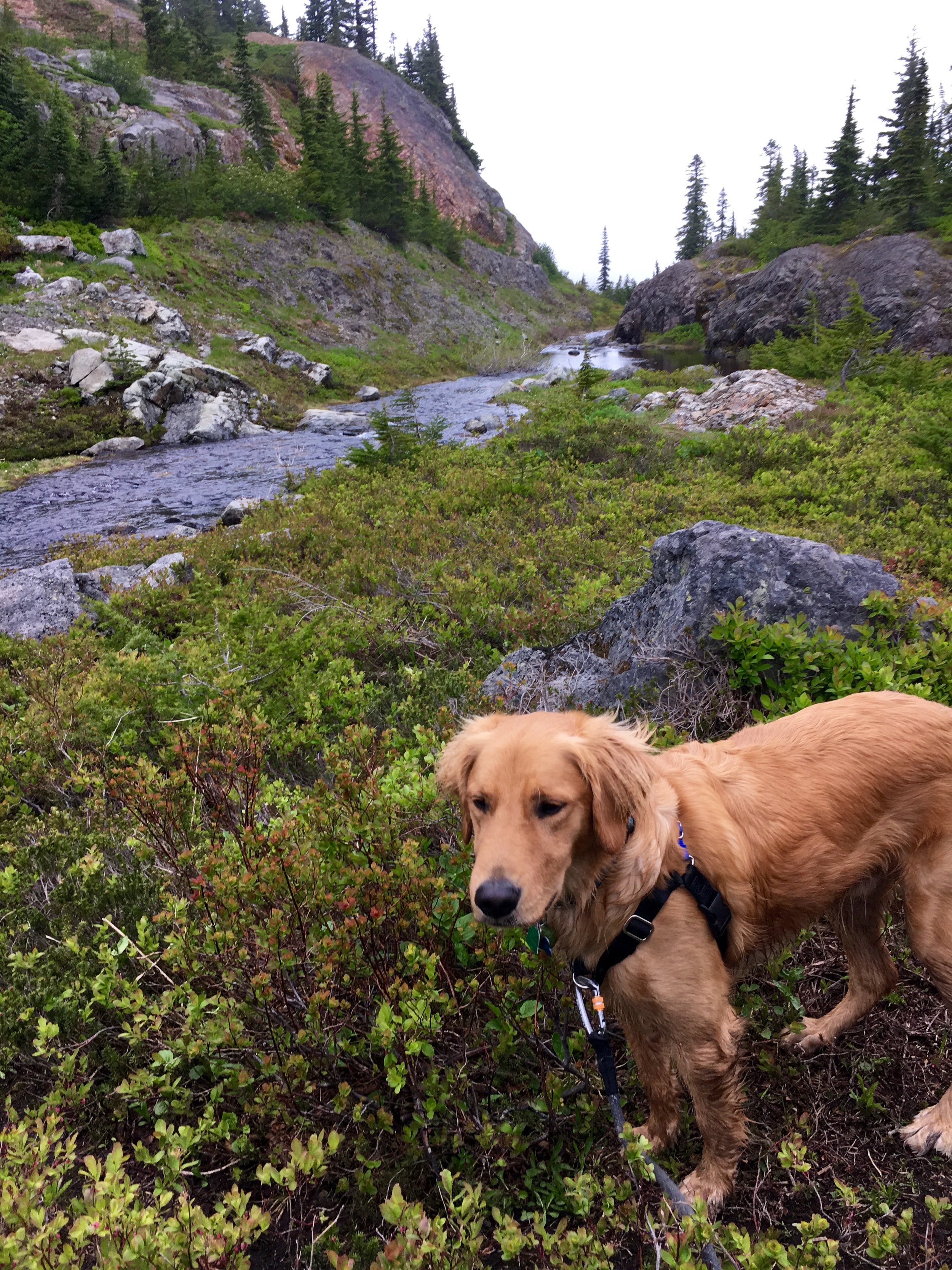
 Location: North Cascades/ Mountain Loop Highway
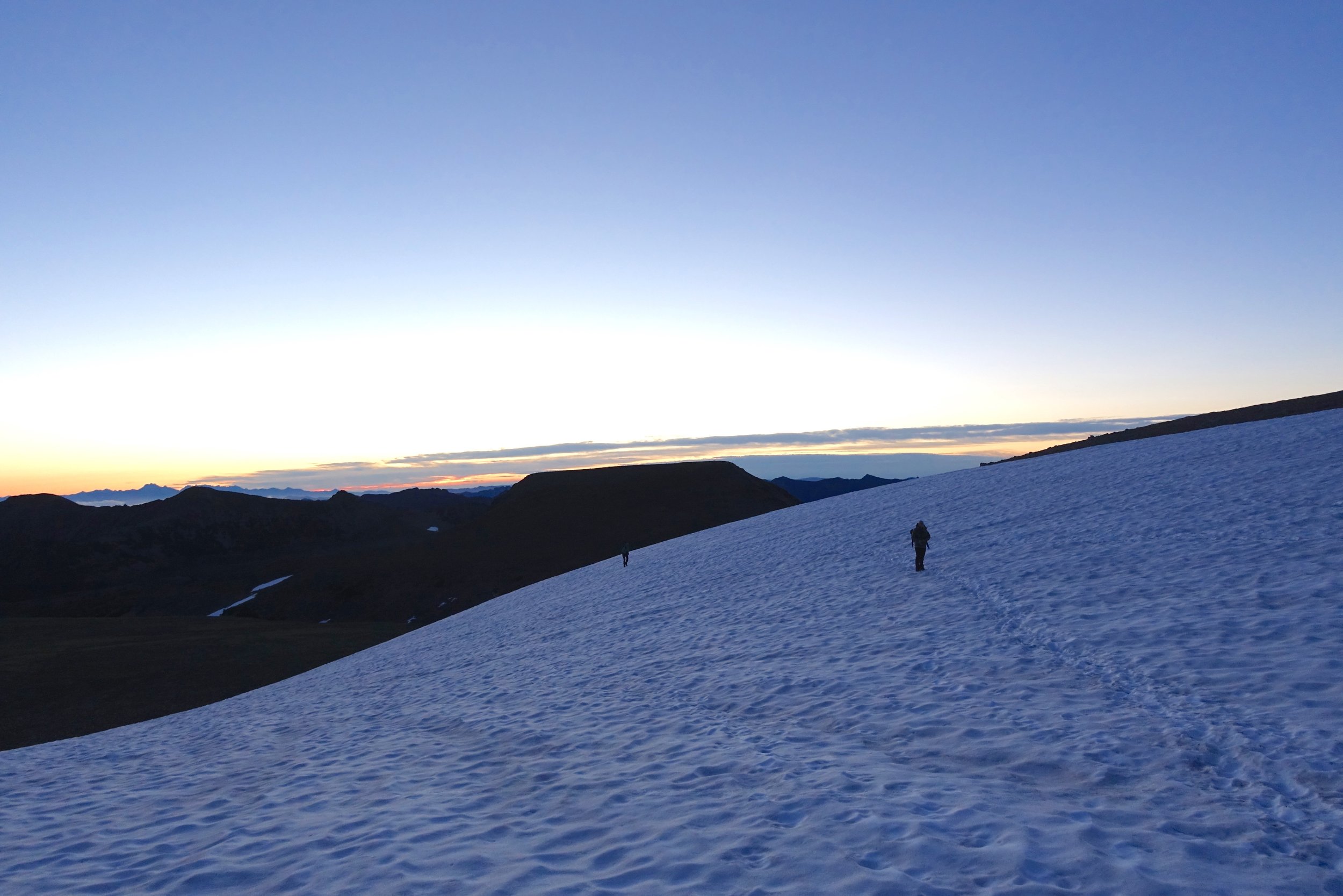
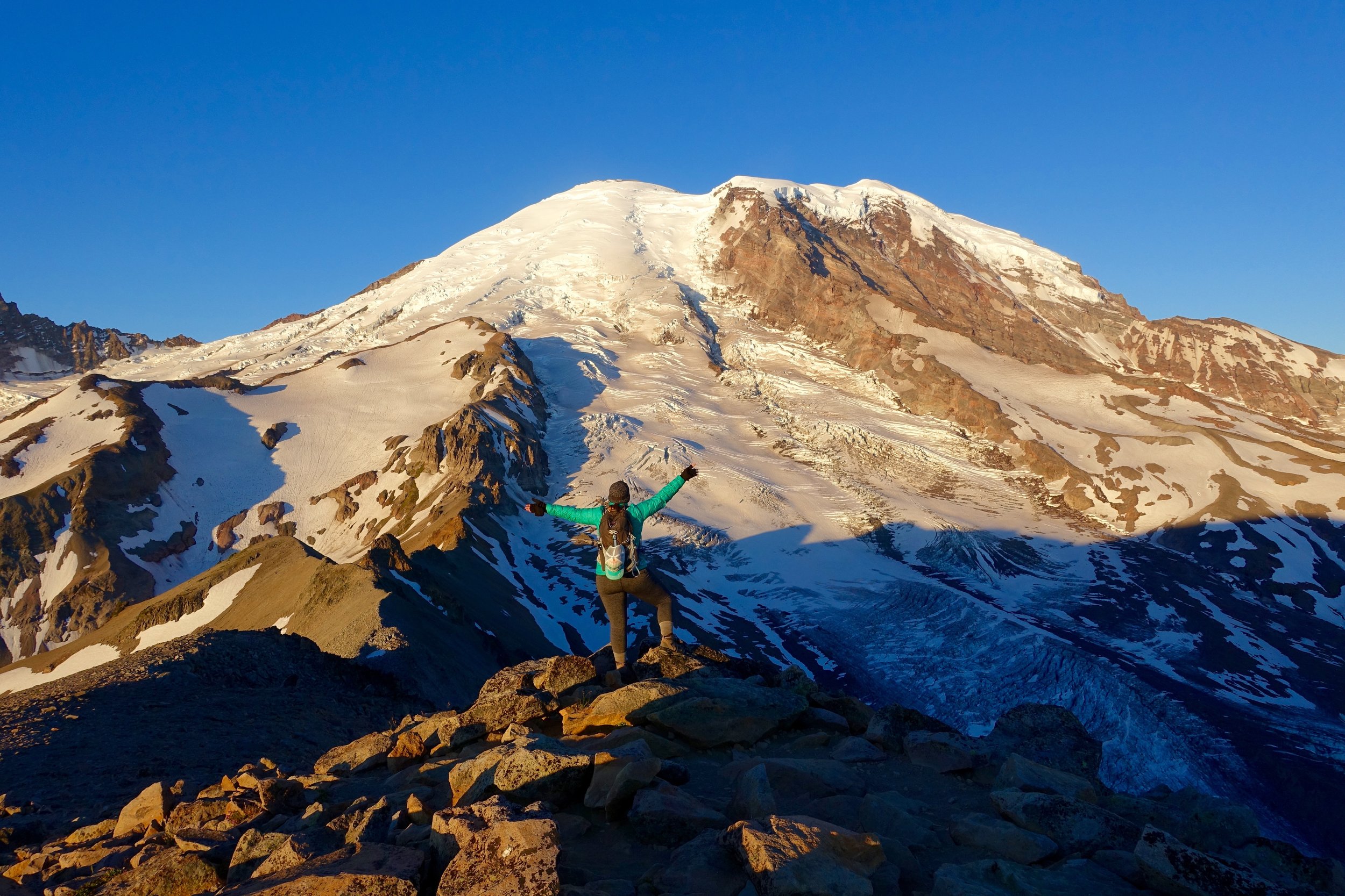
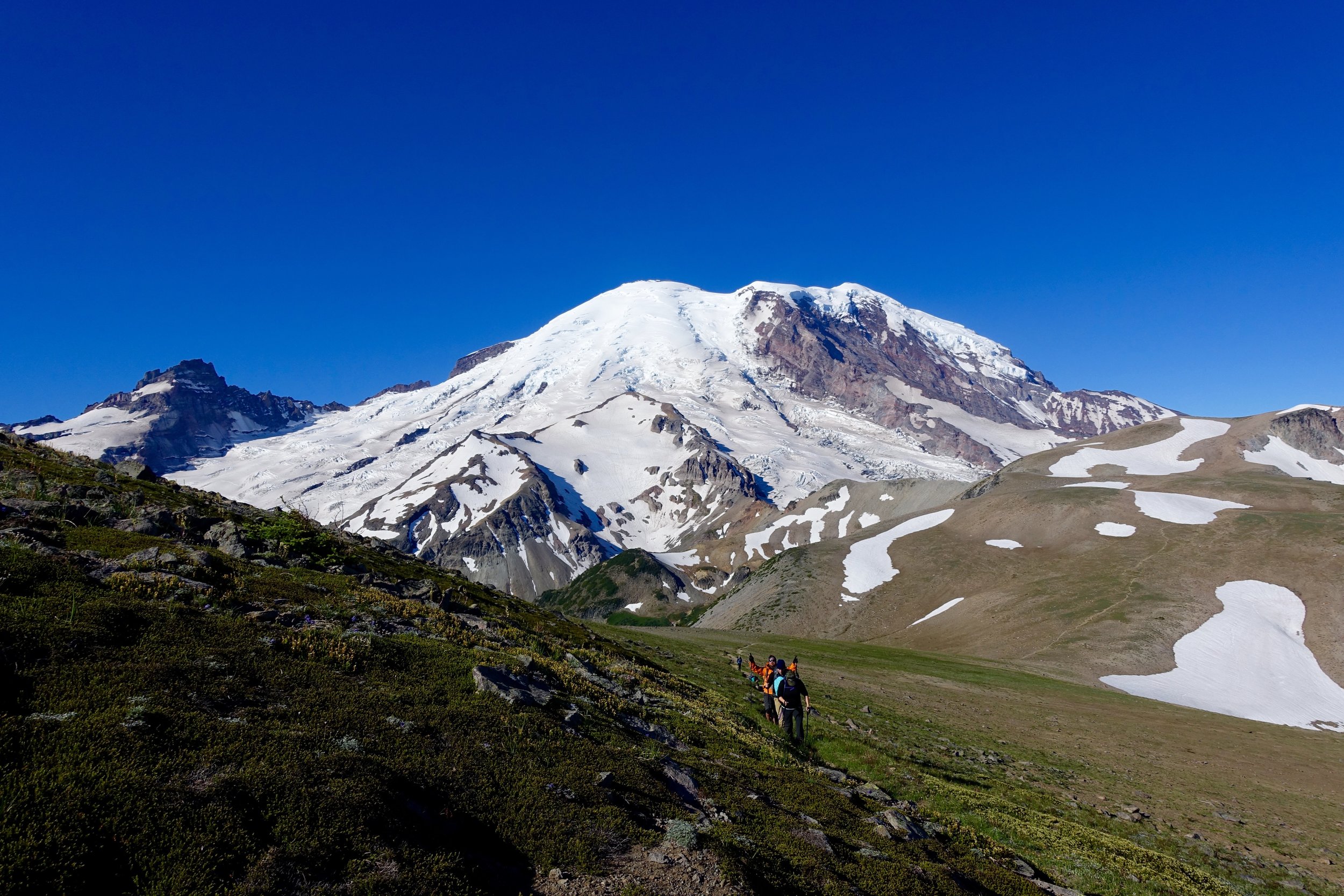
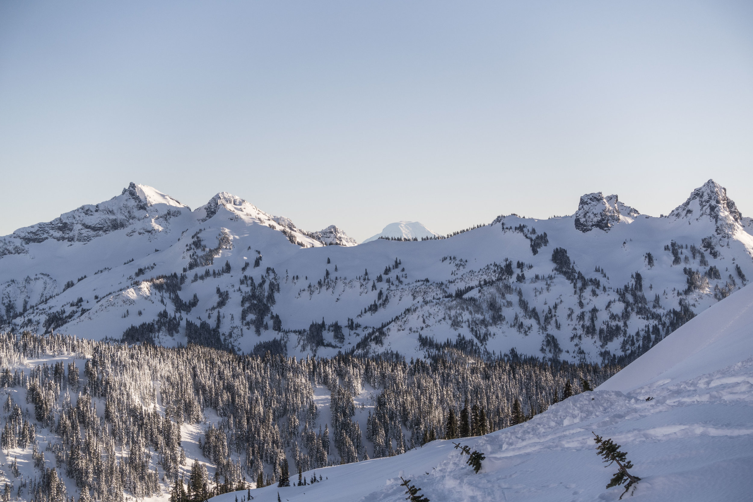
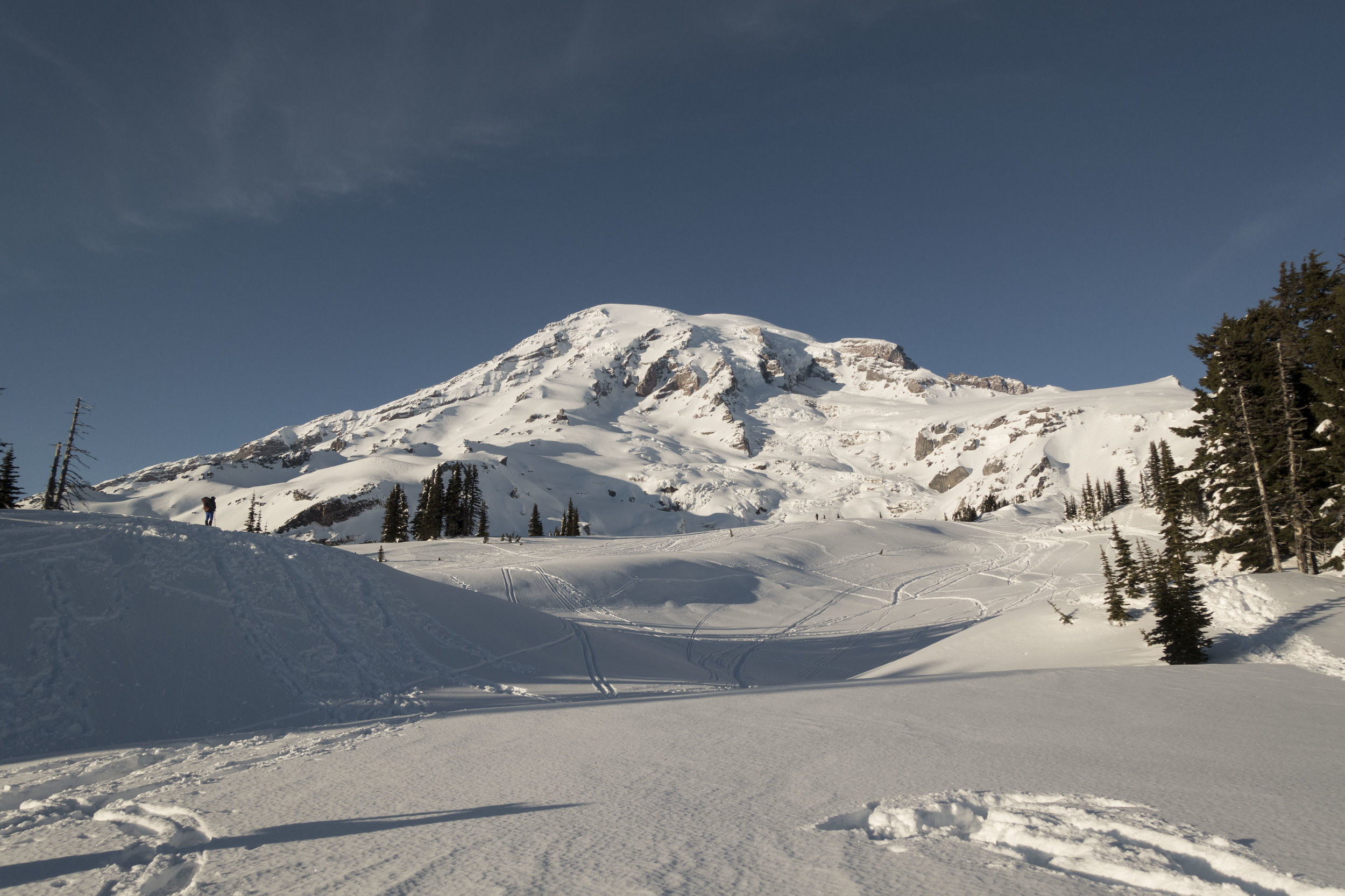
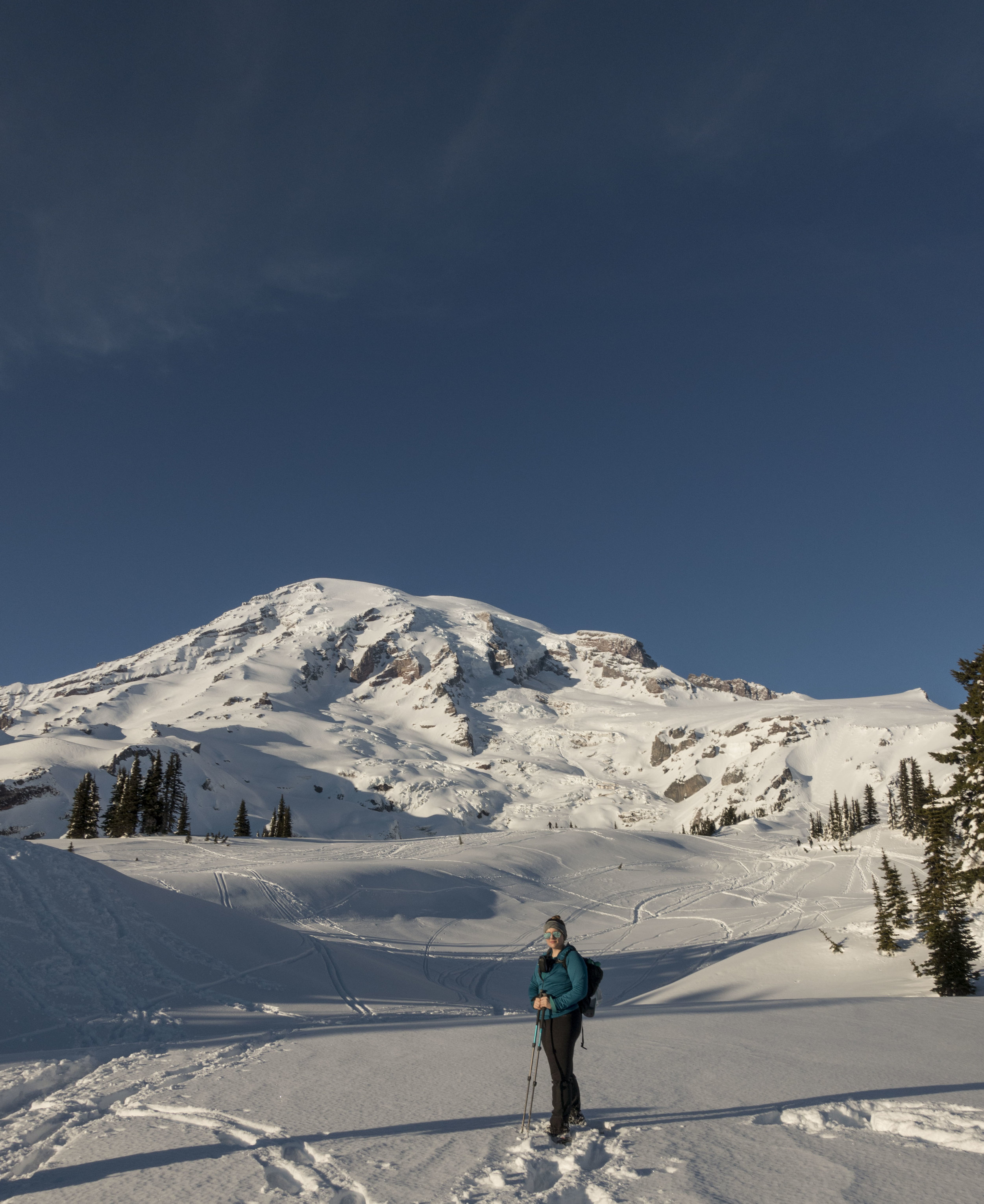
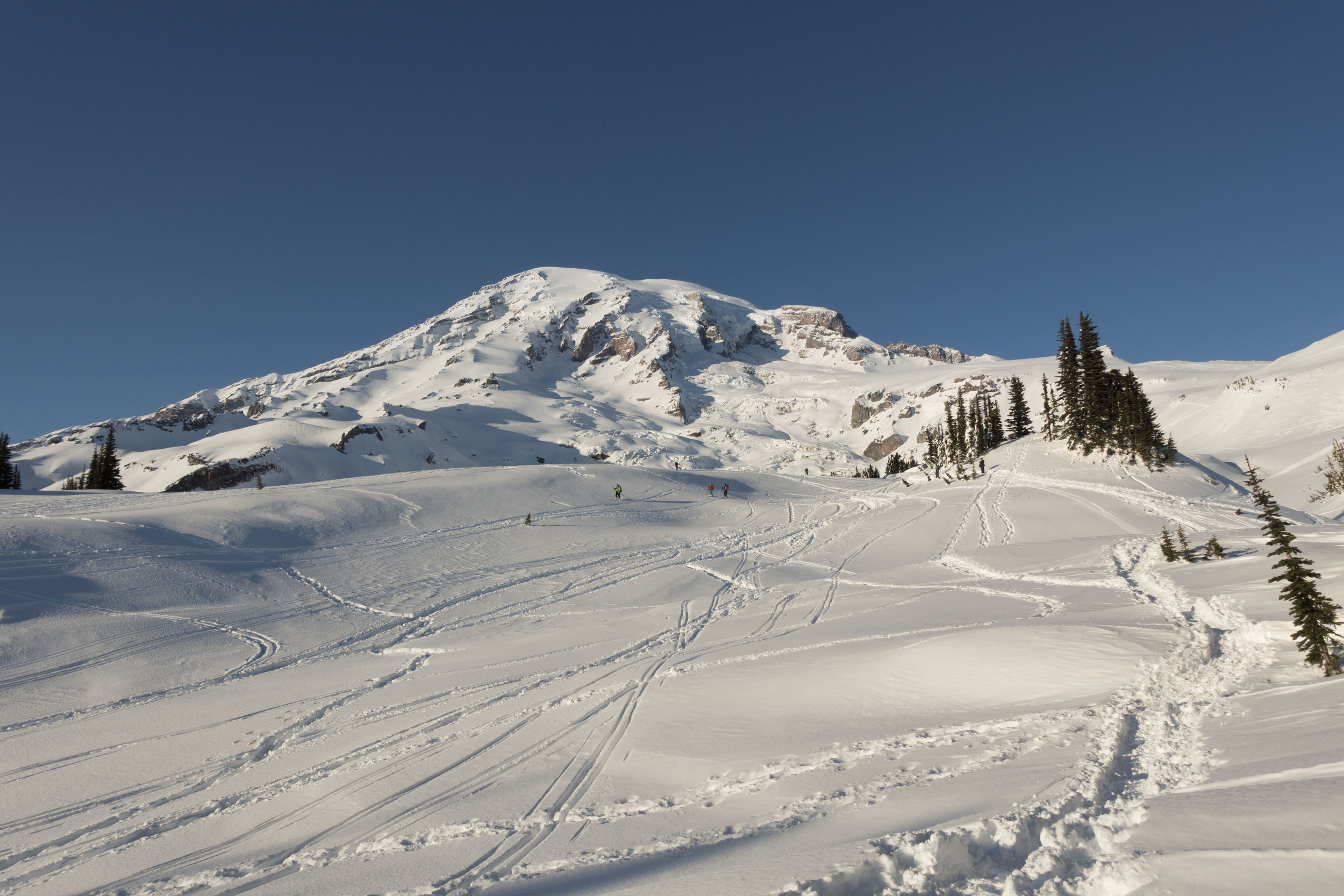
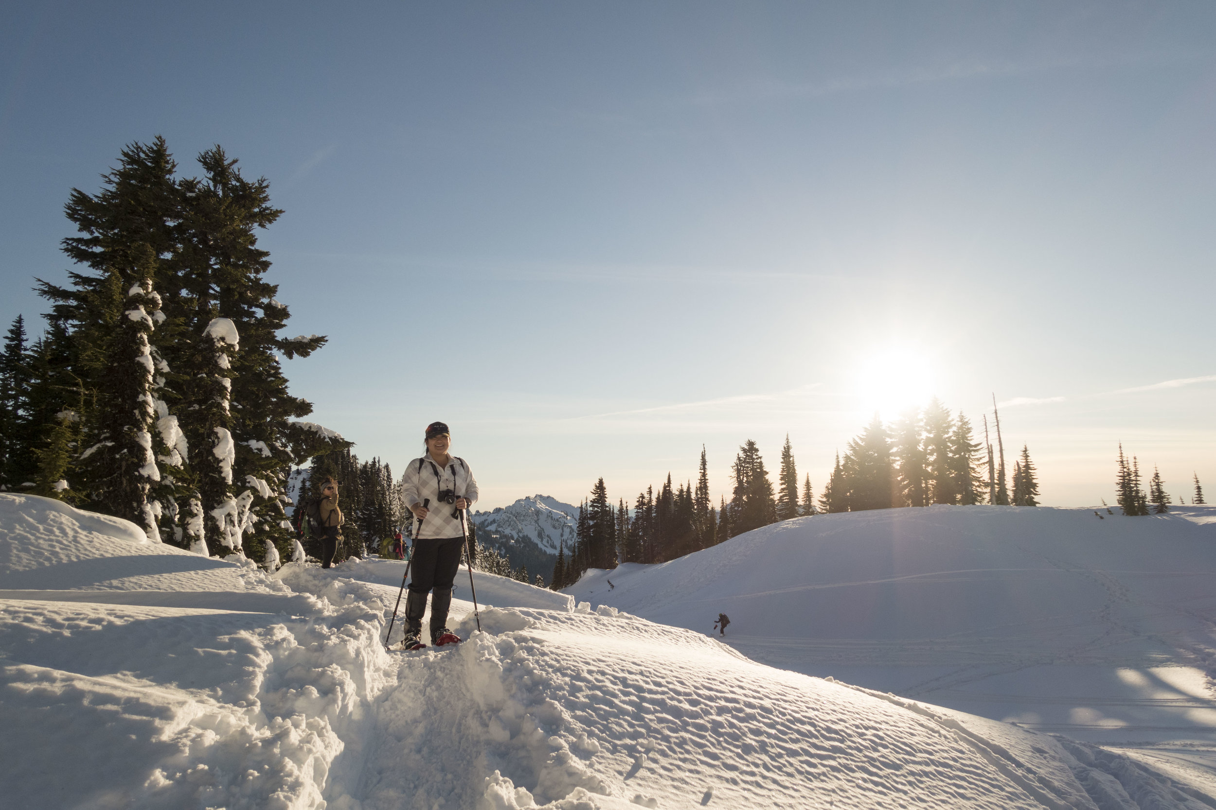
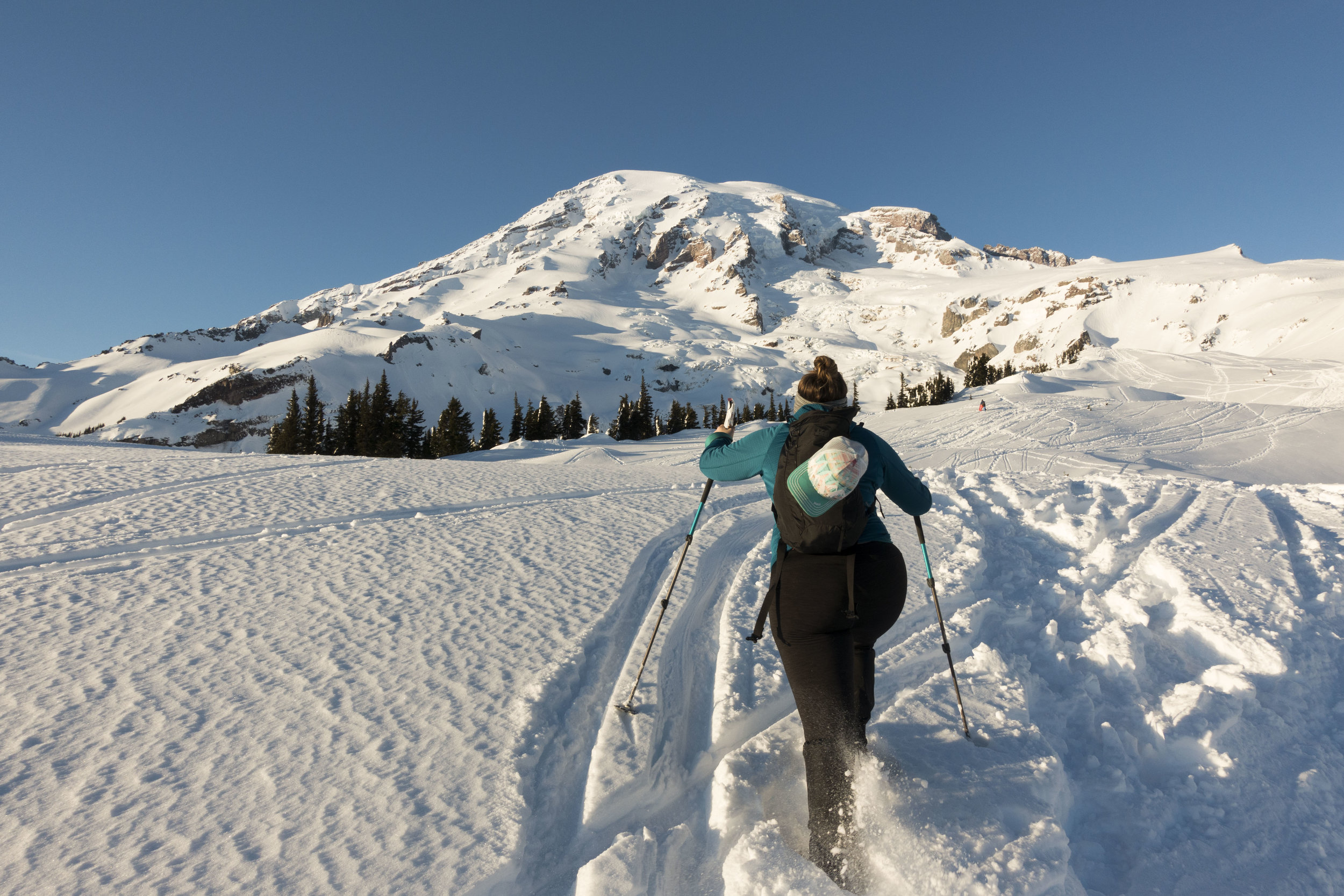
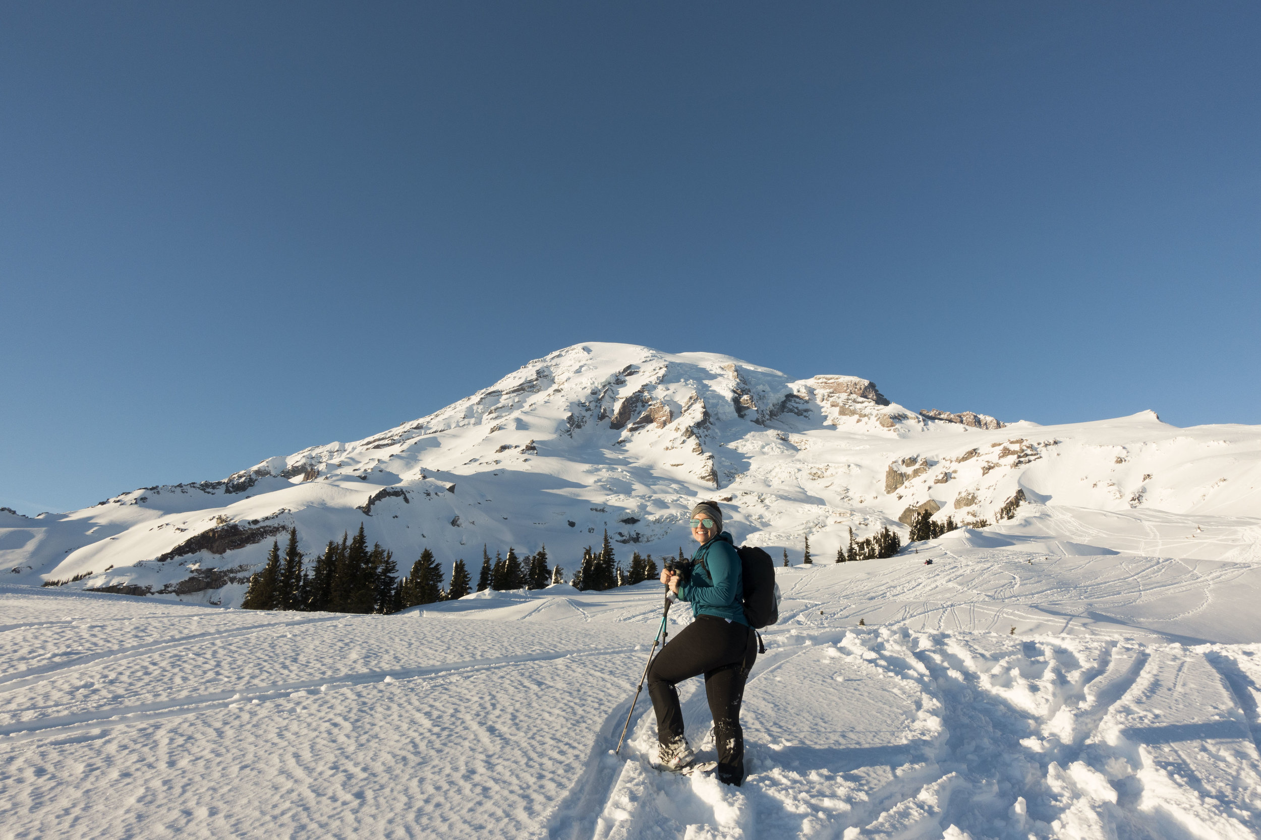
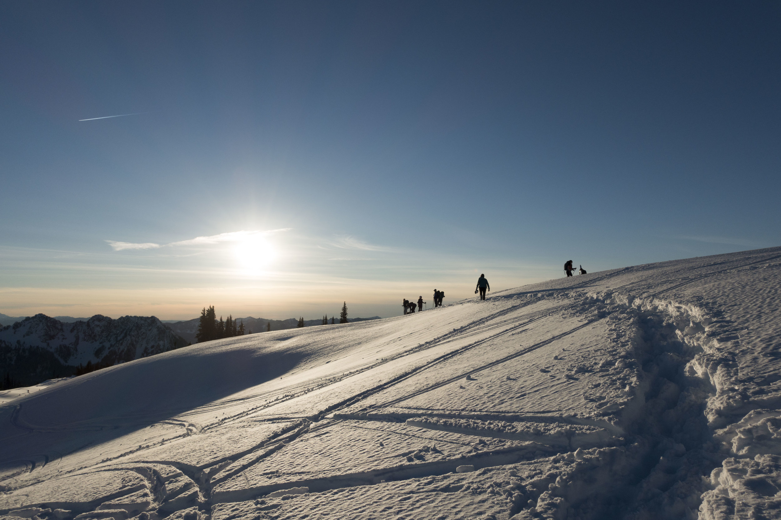
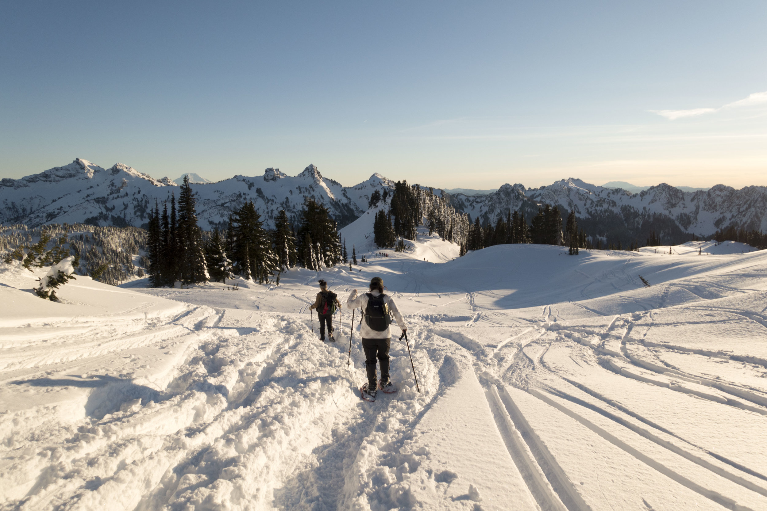
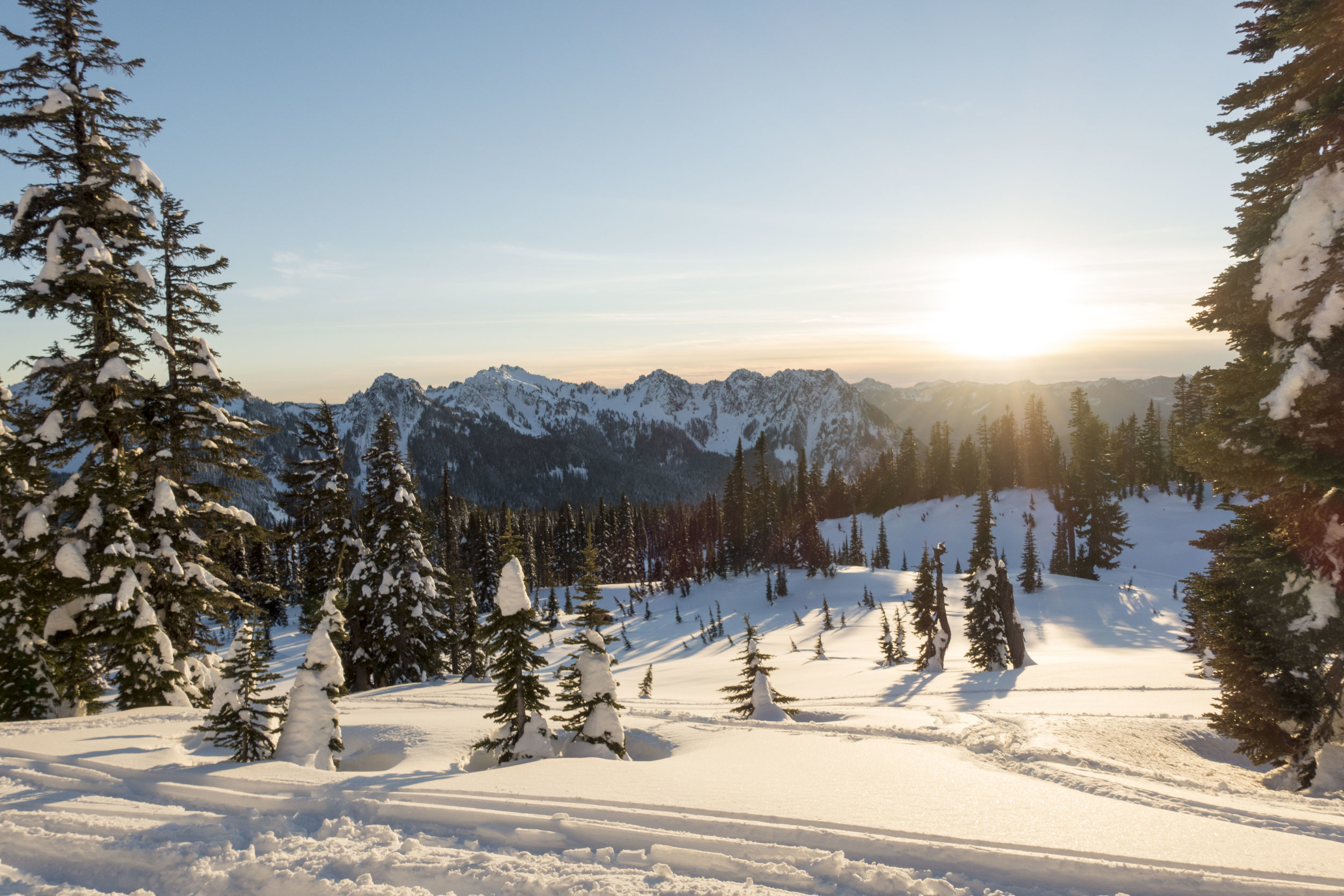
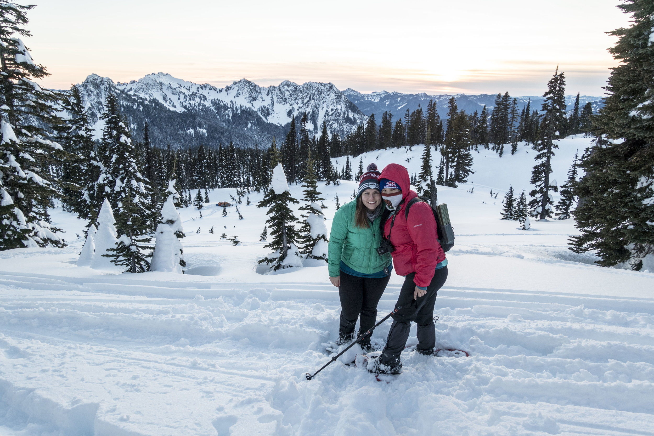
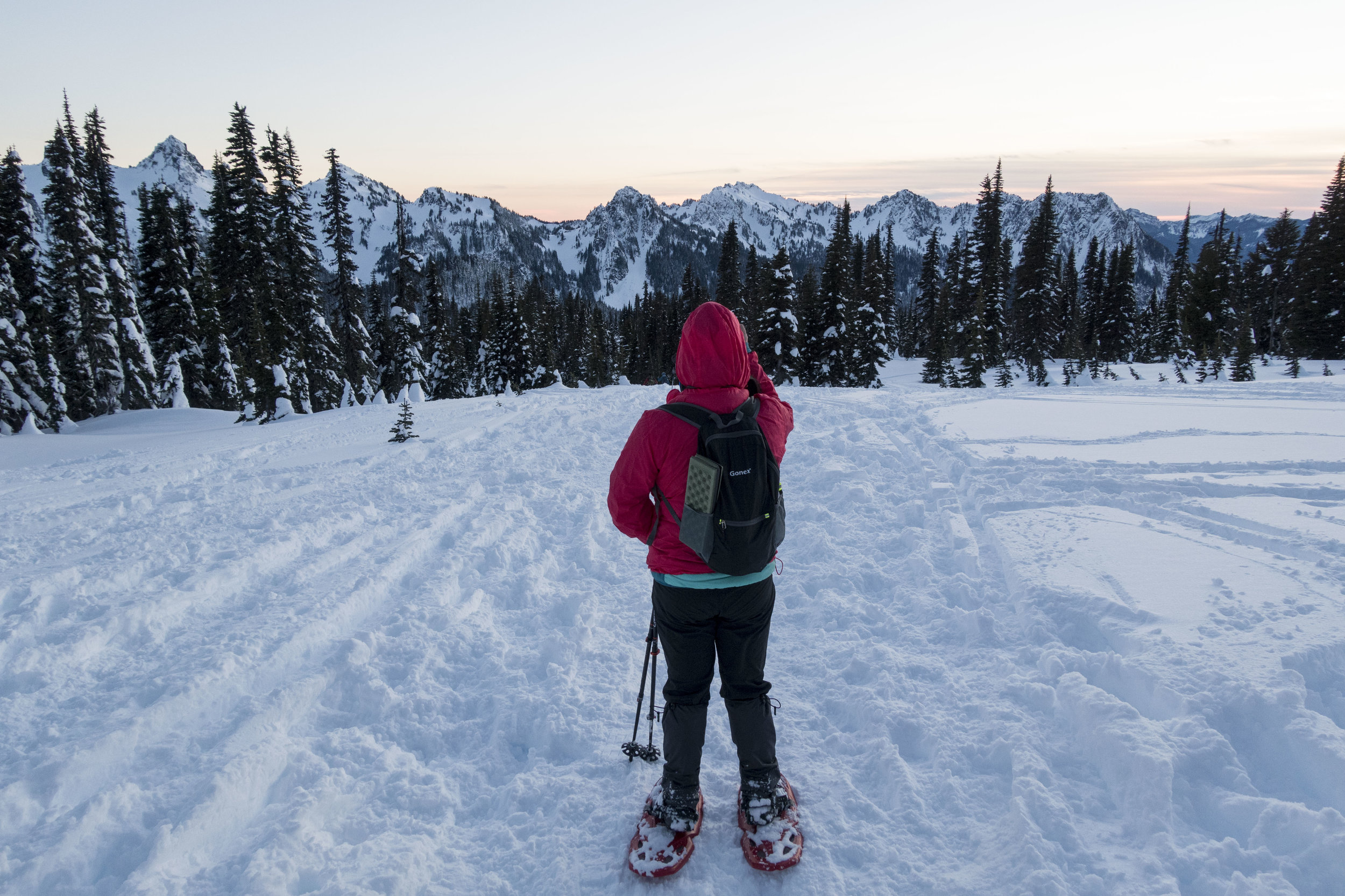
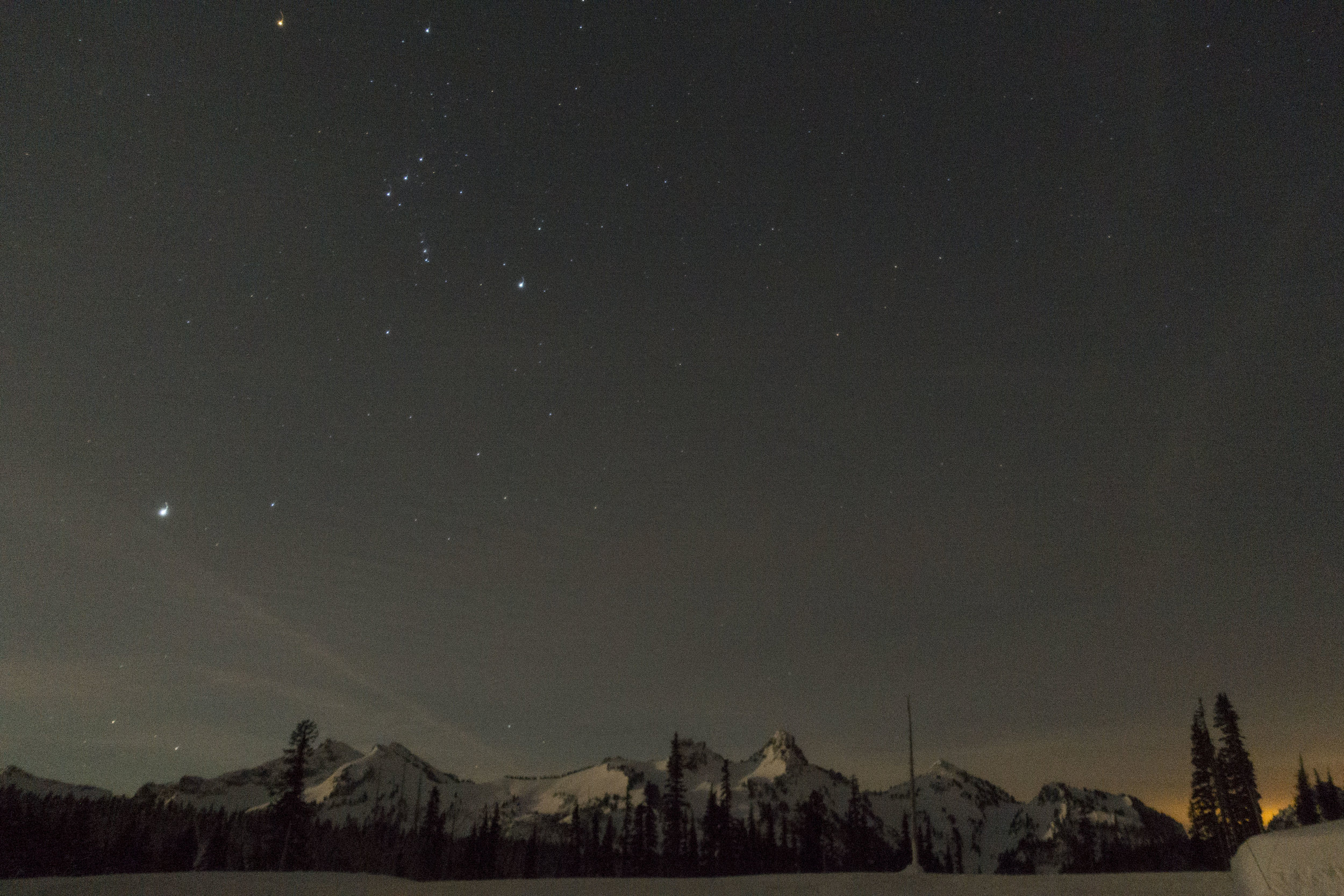
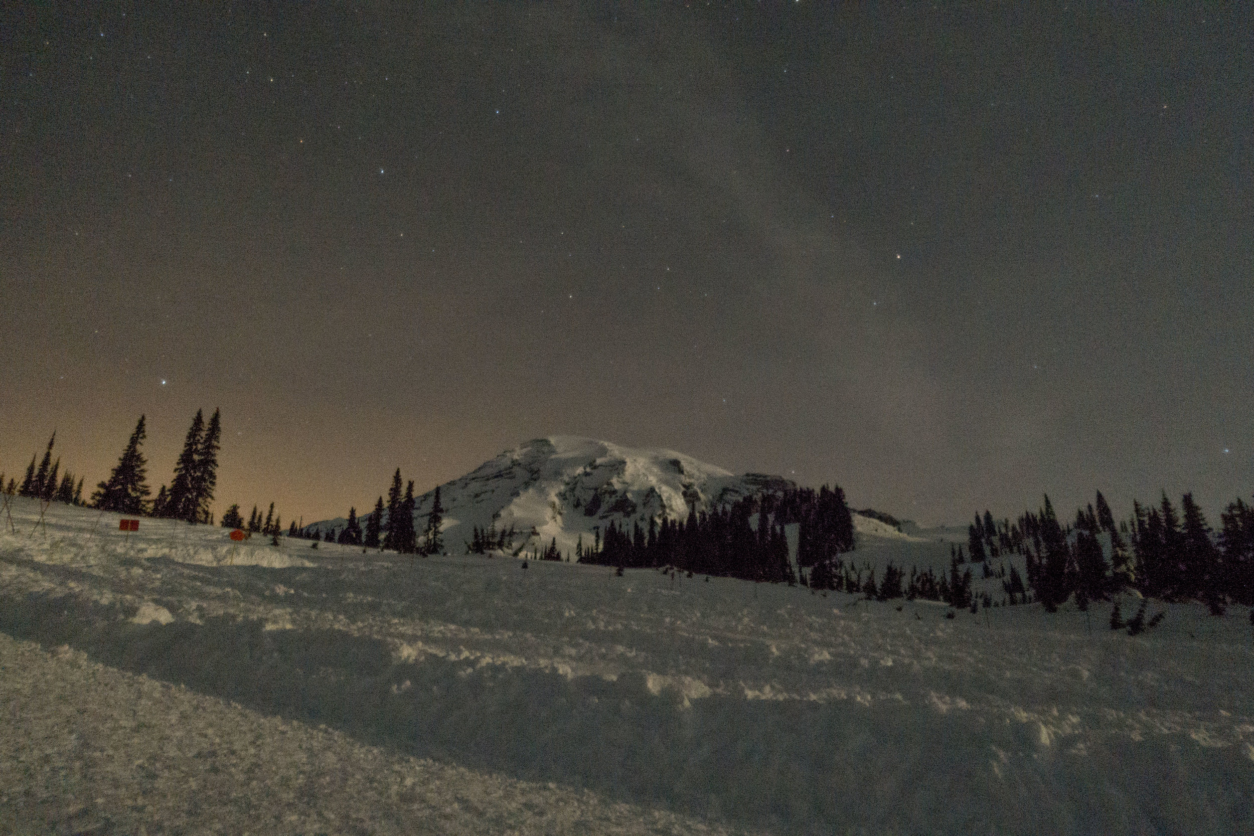
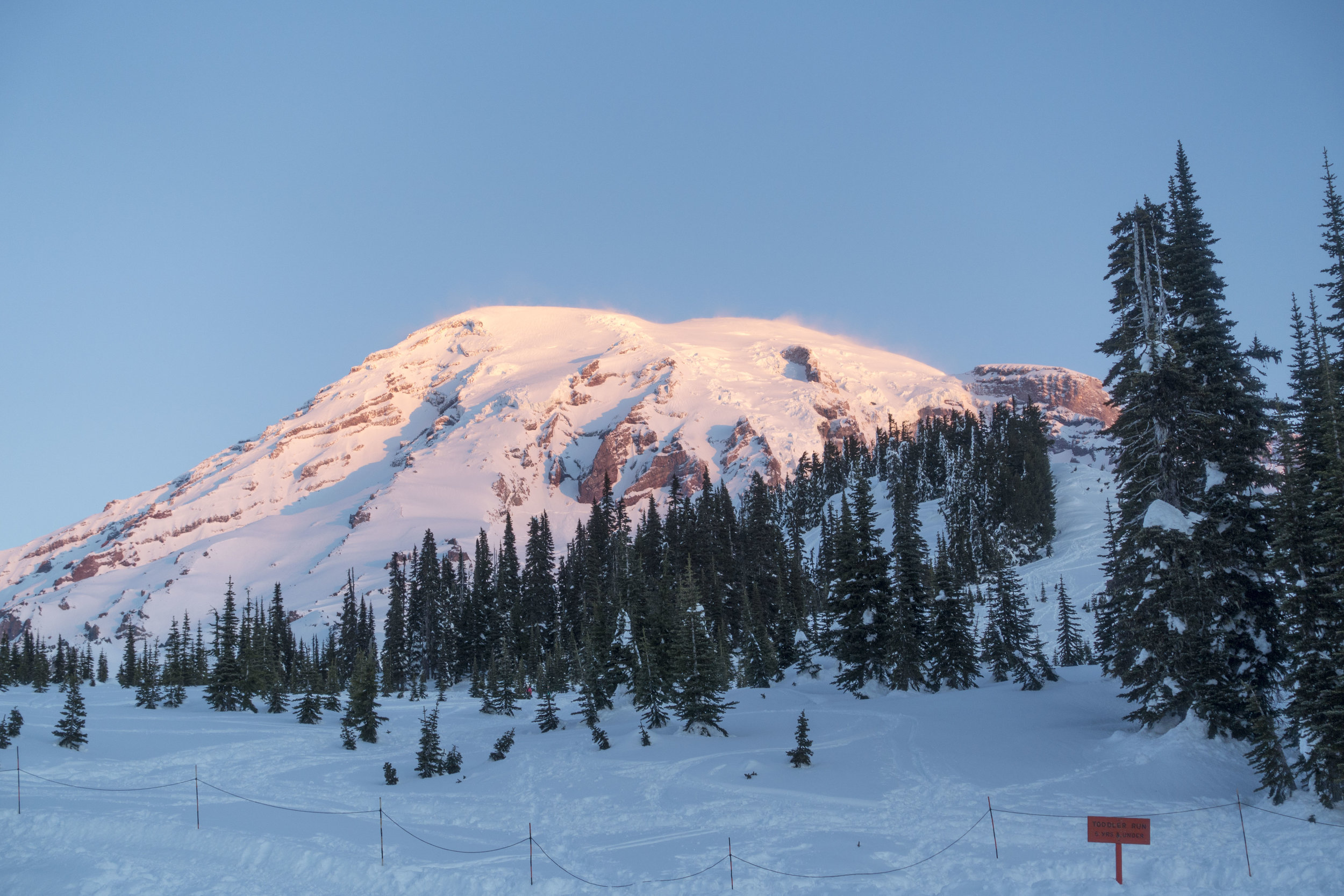
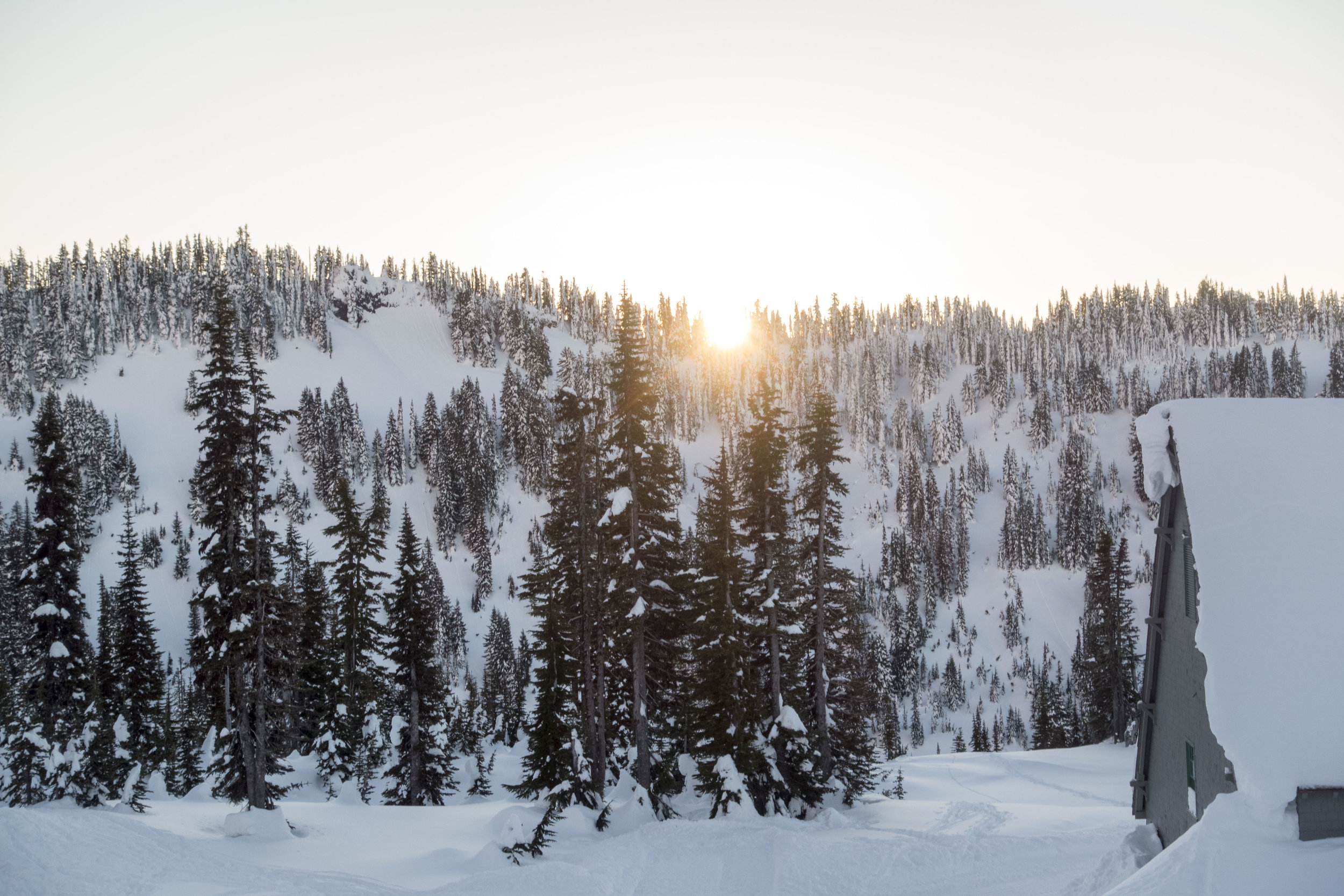
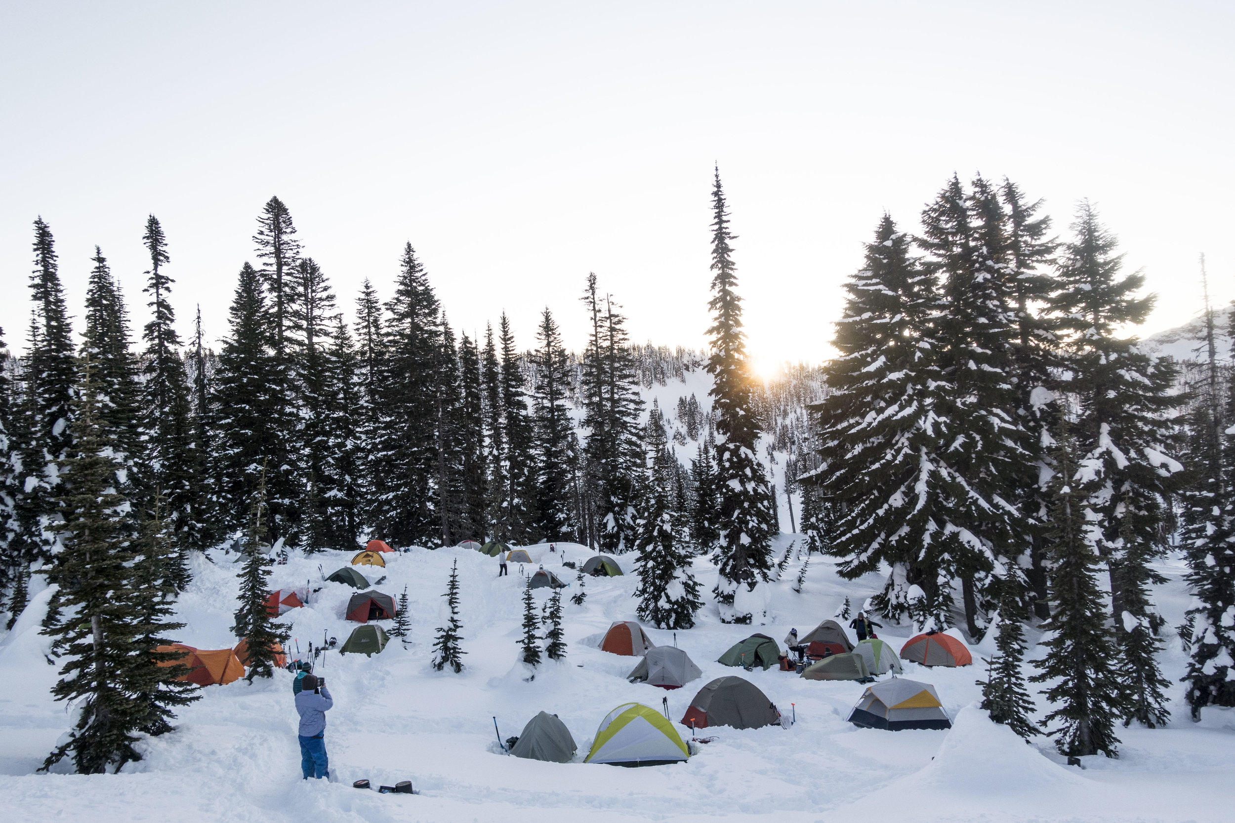
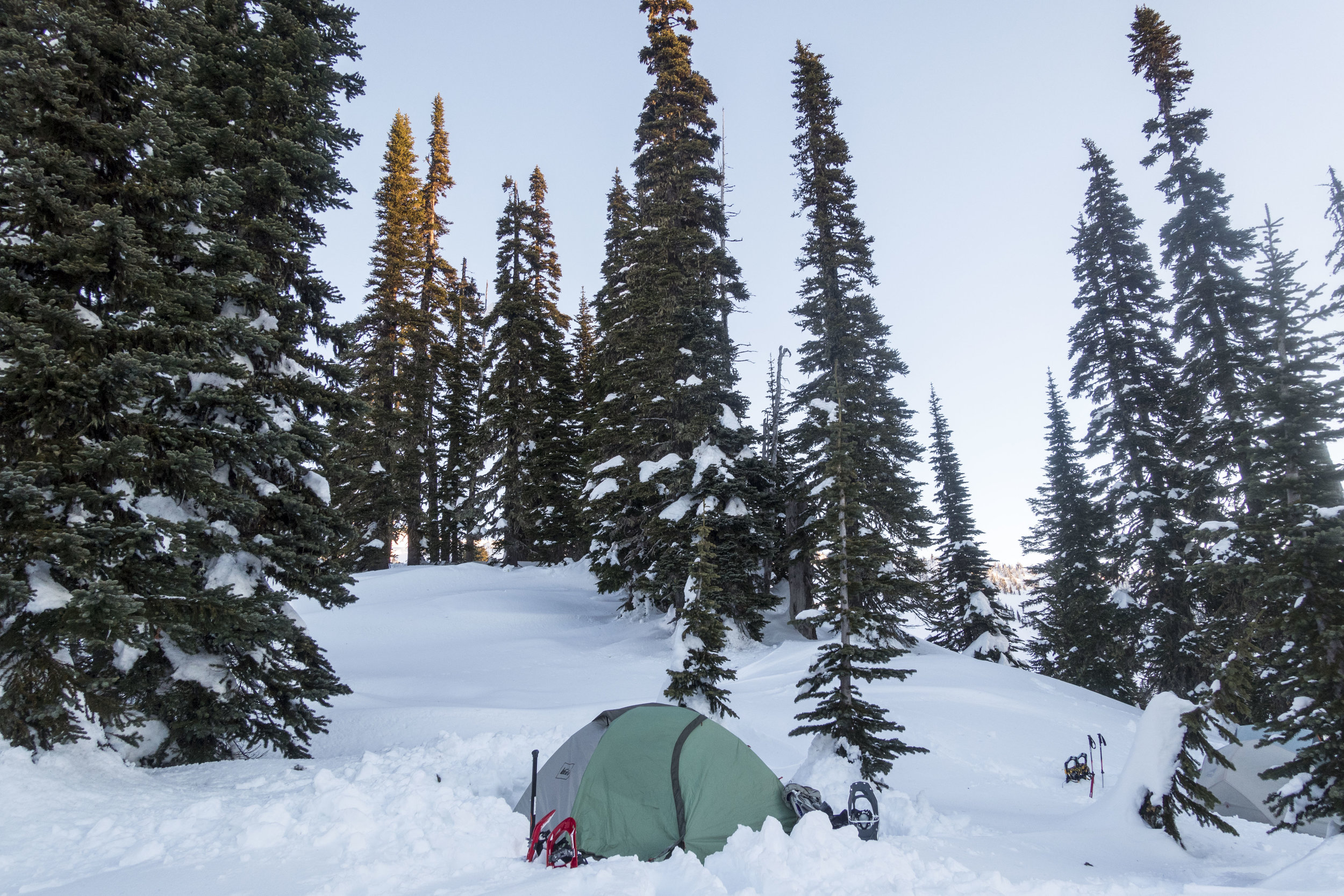
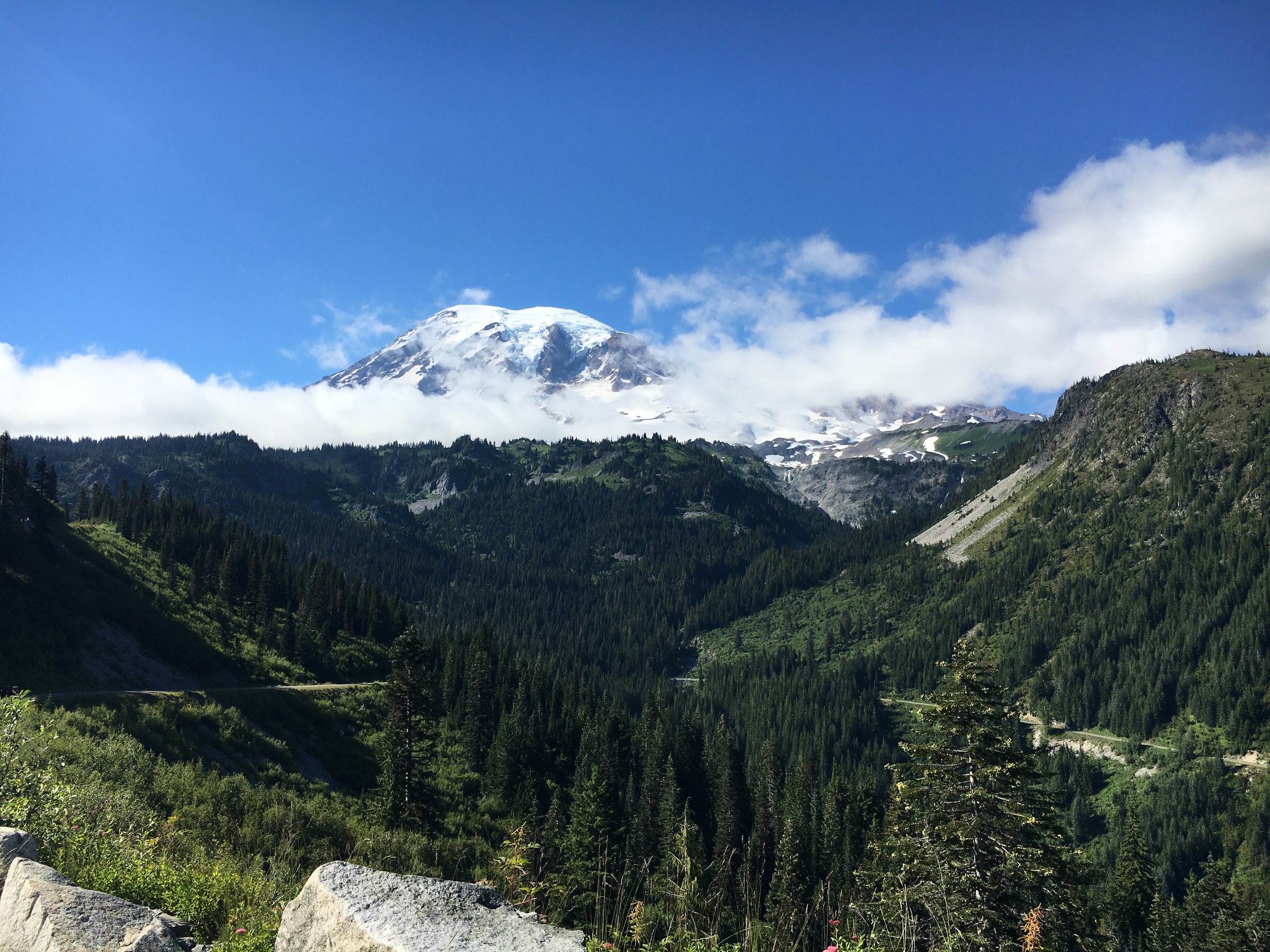
 Location: Mt. Rainier
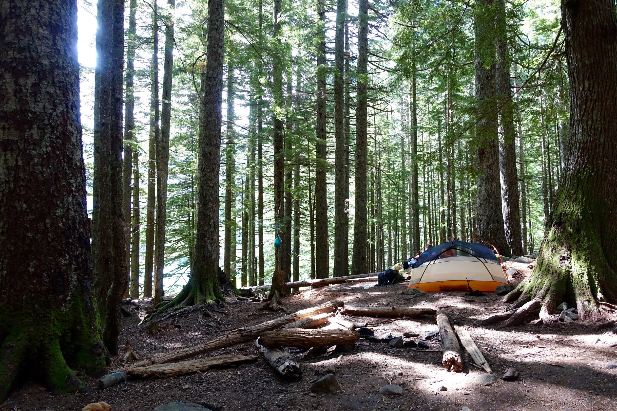
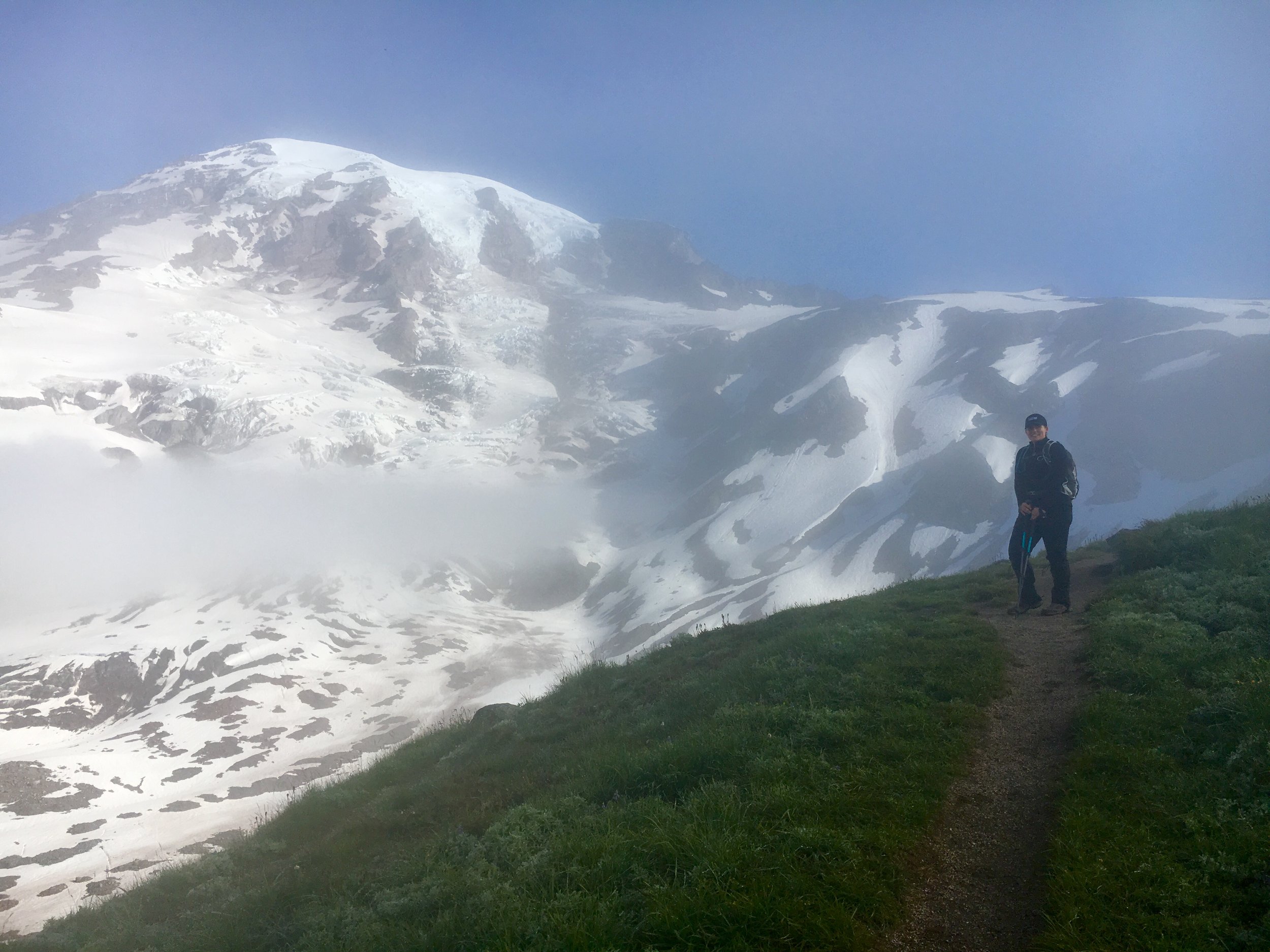
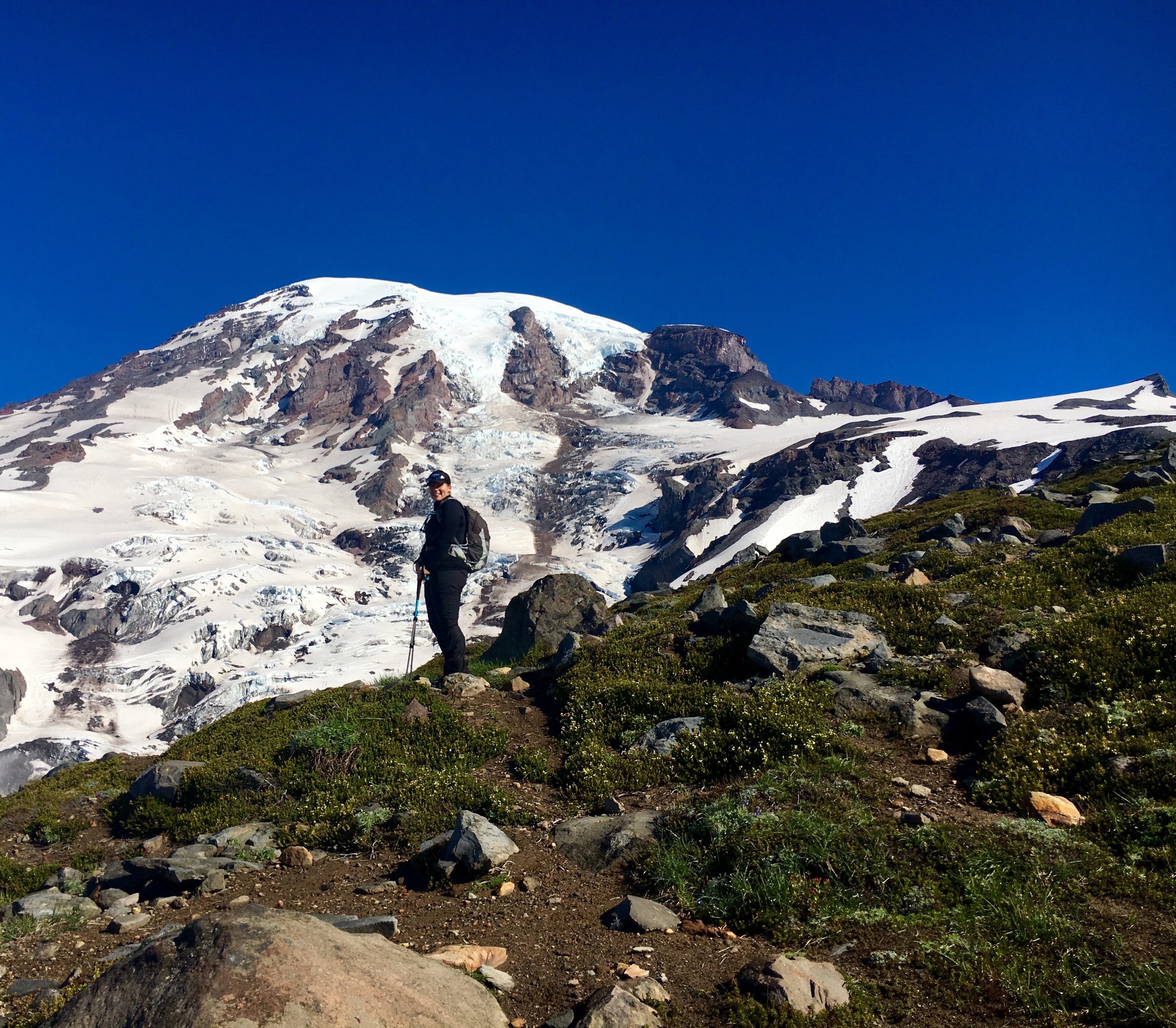
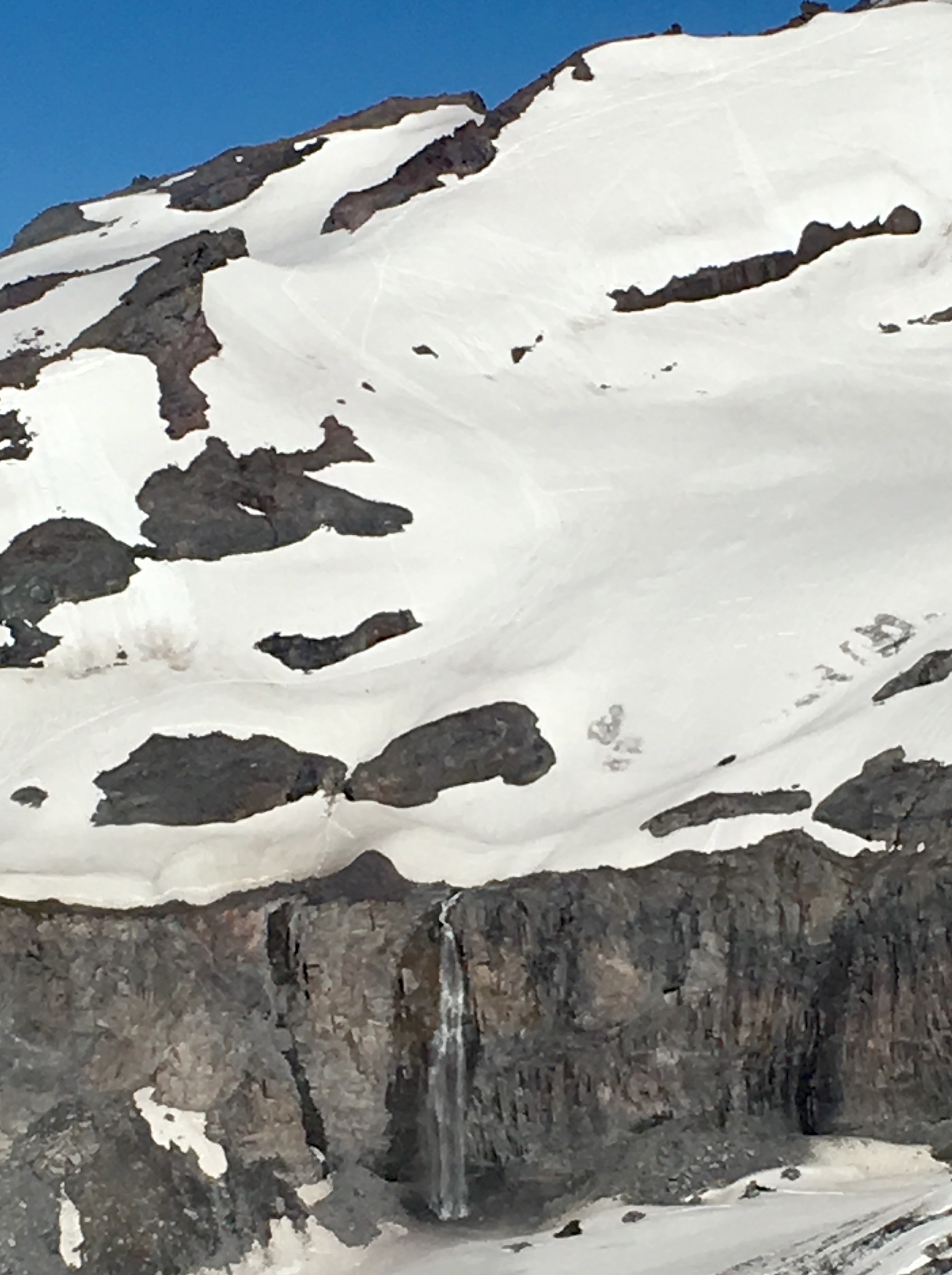
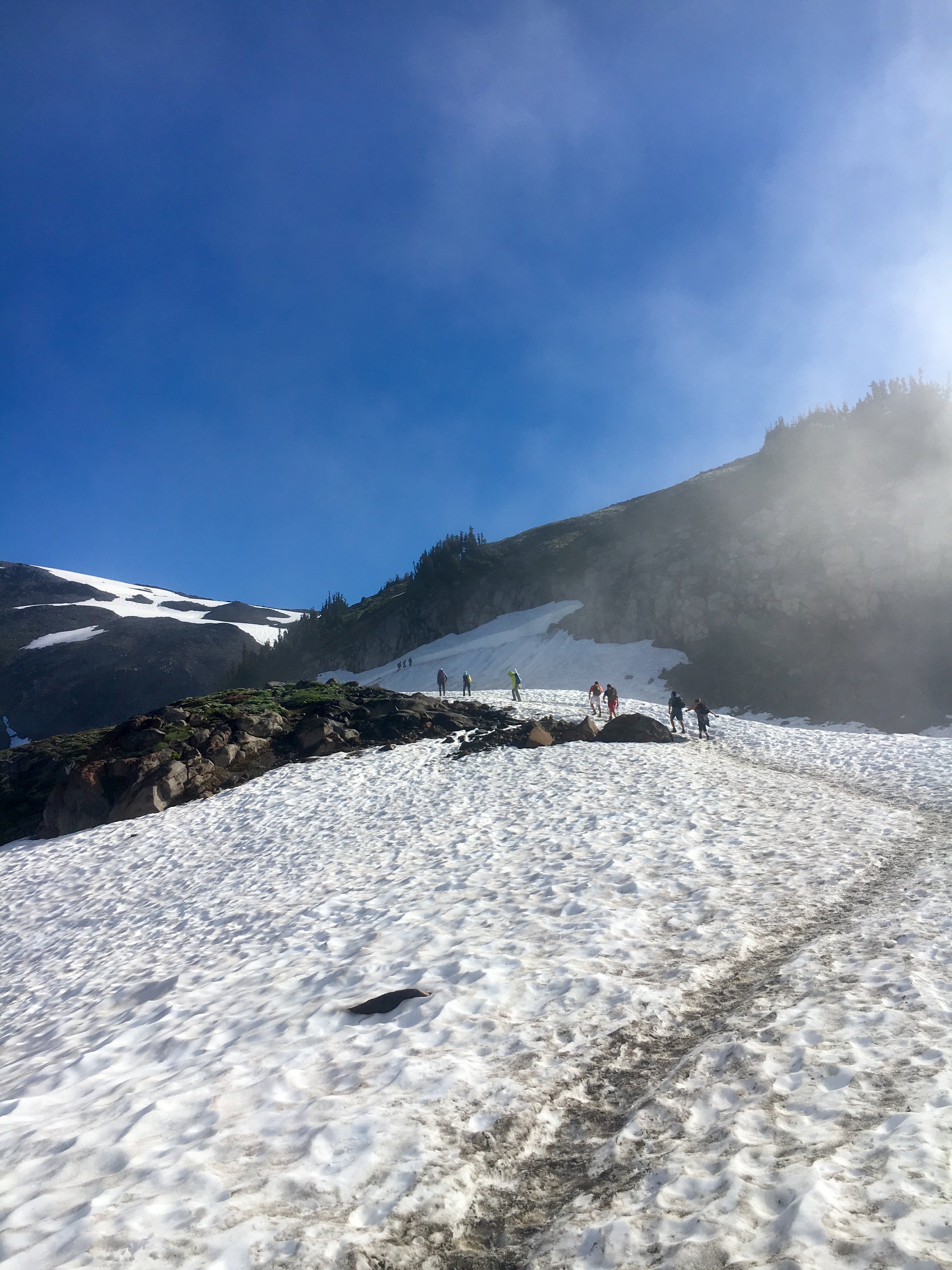
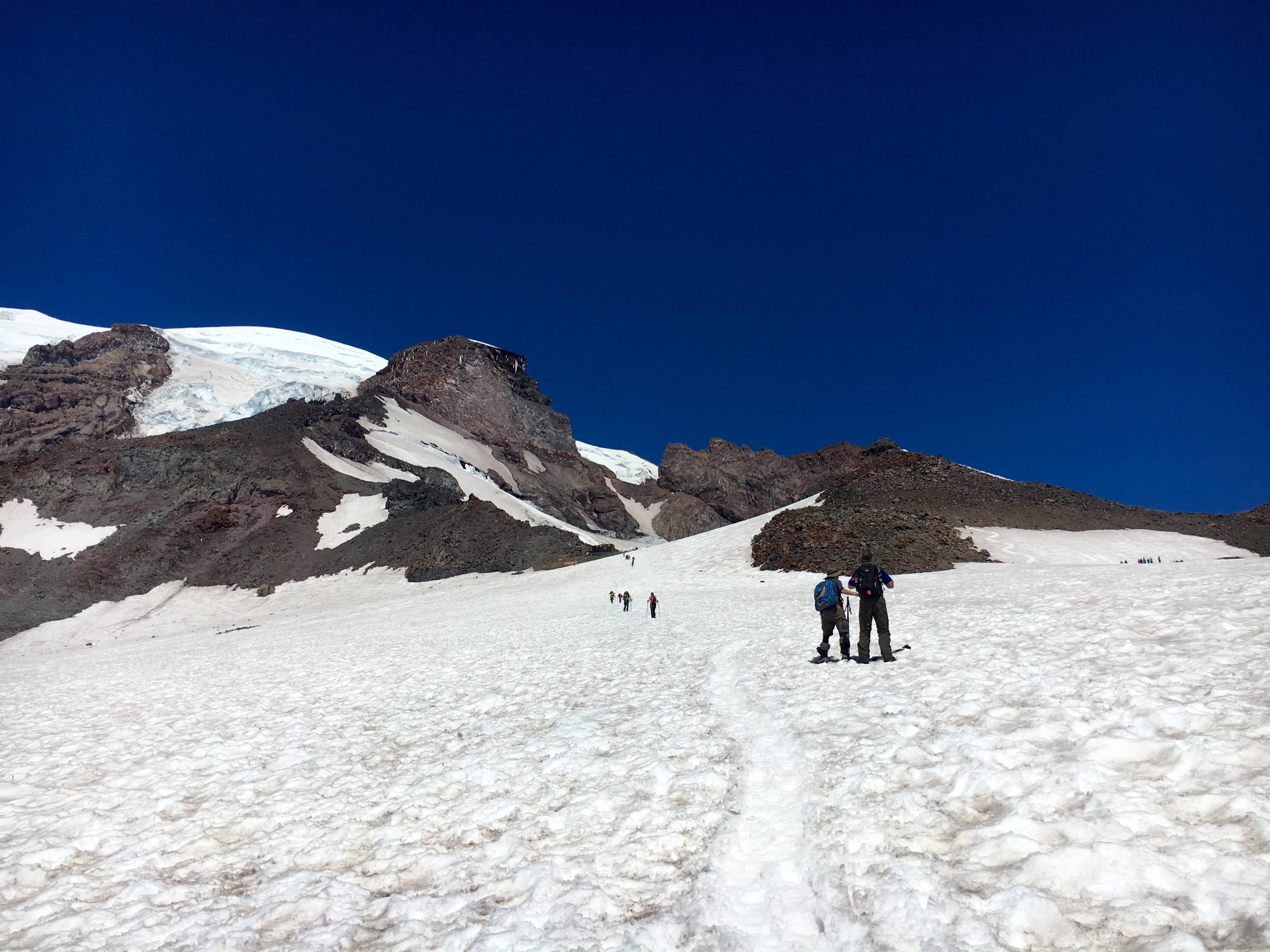
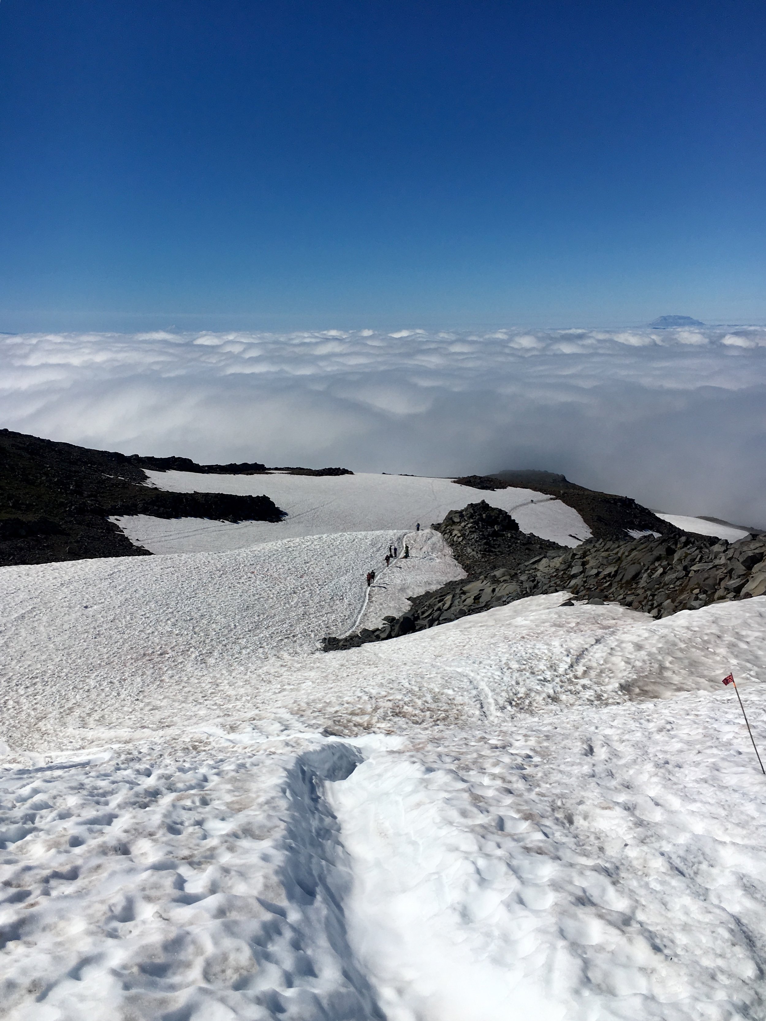
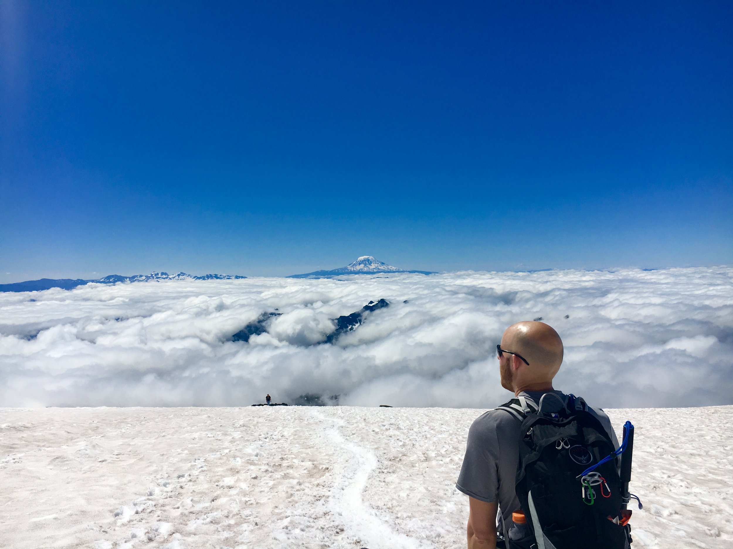
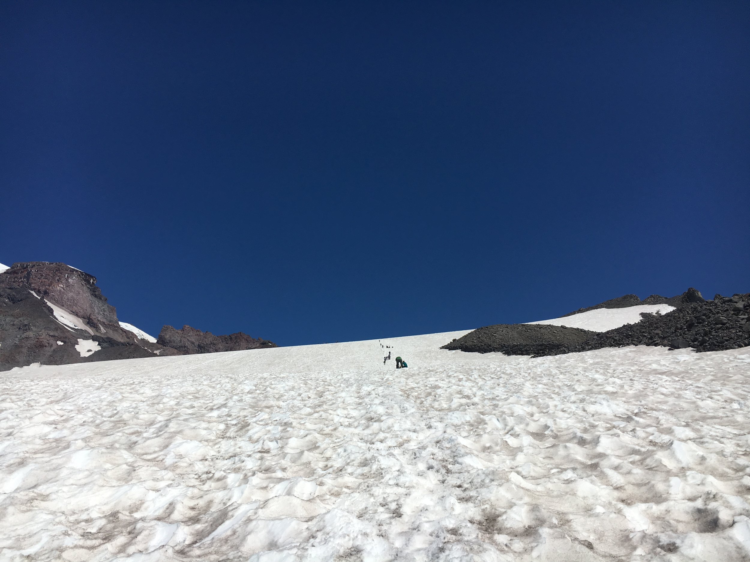
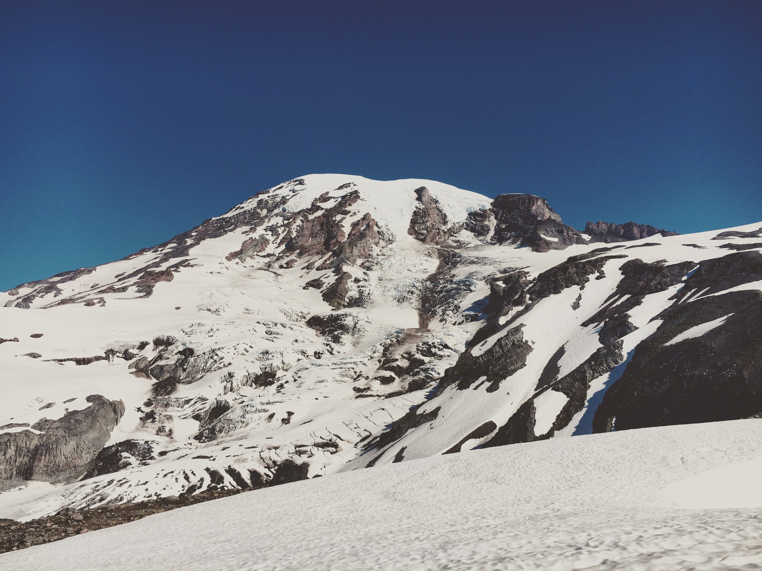
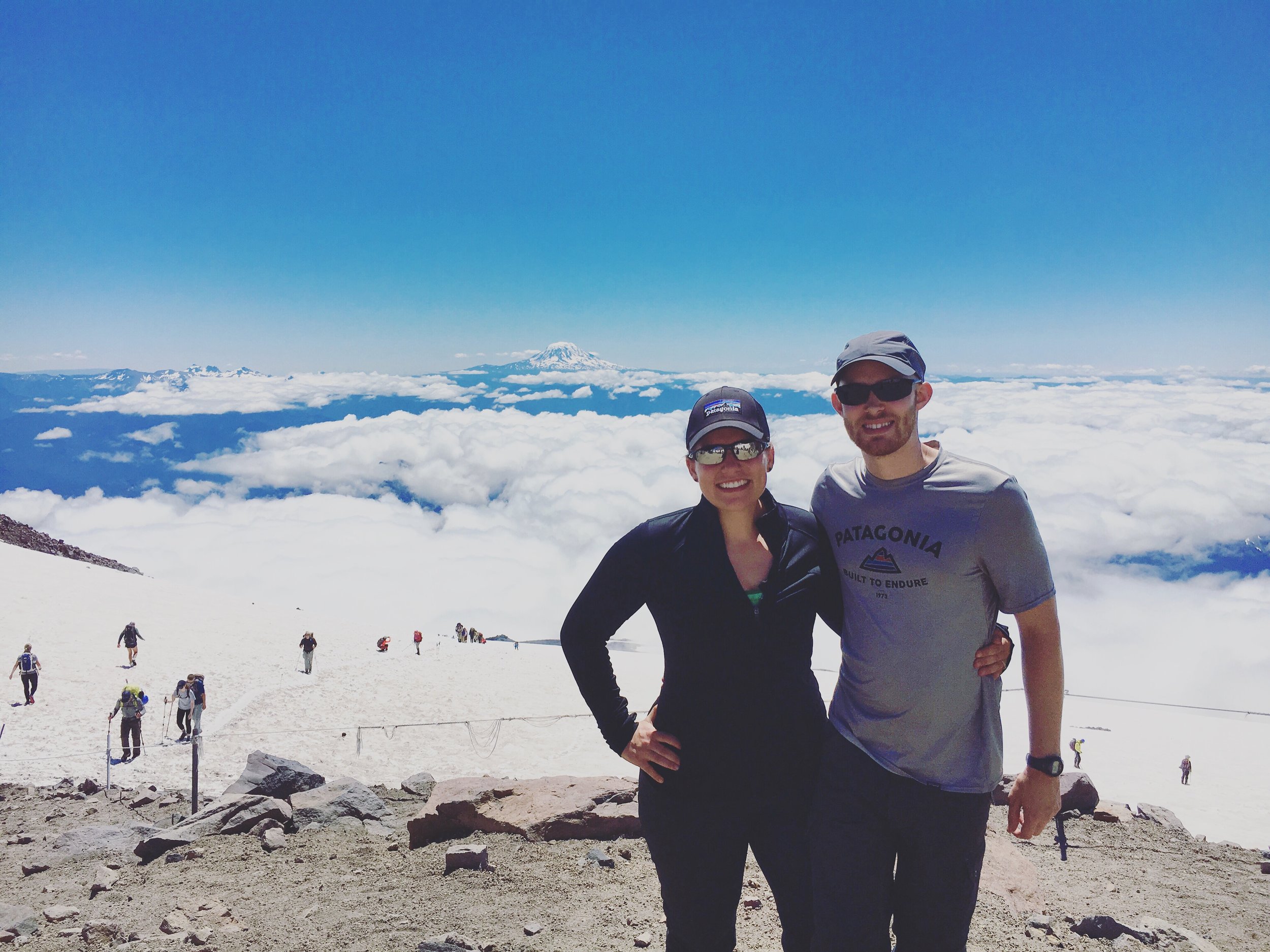
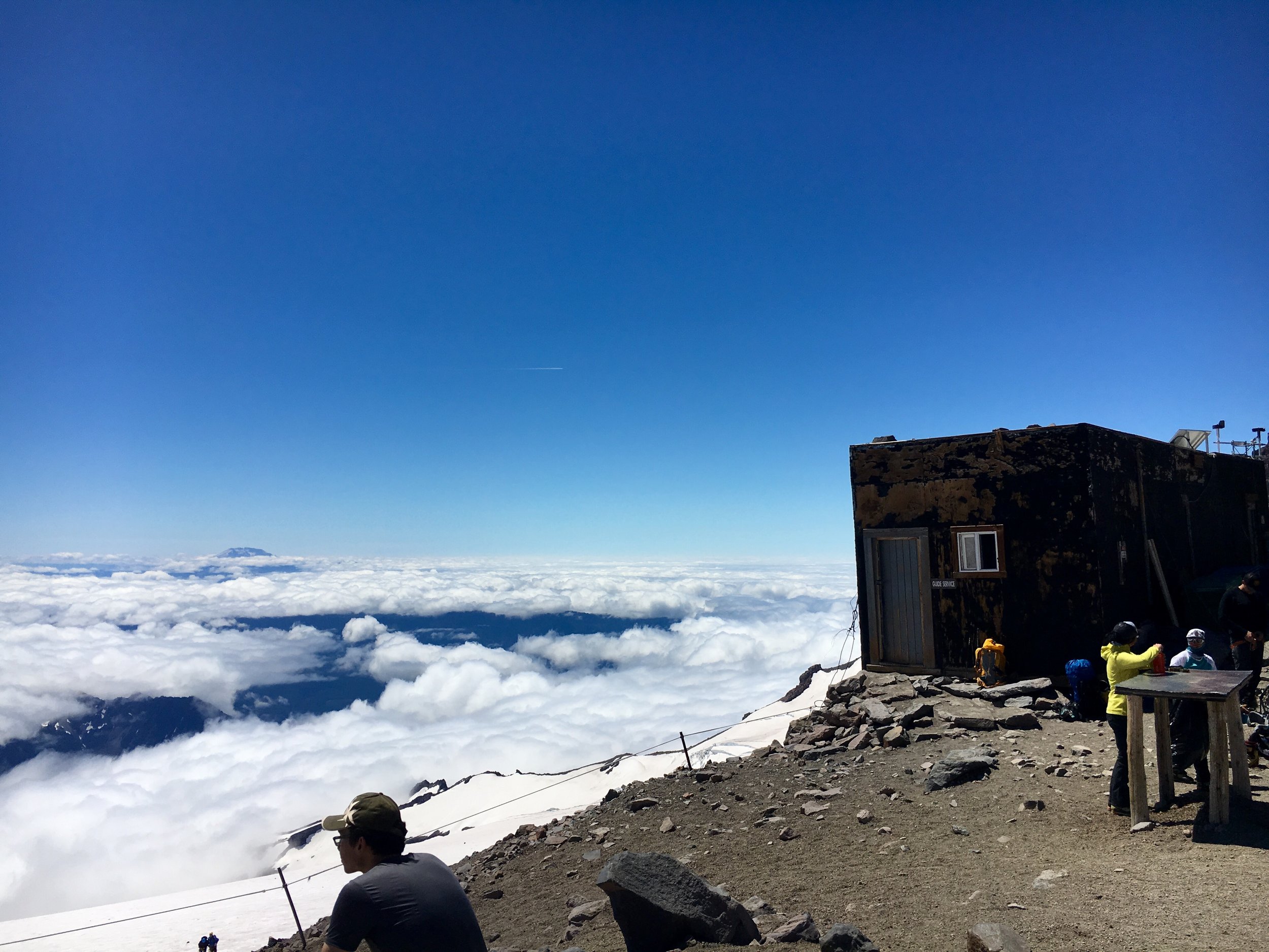
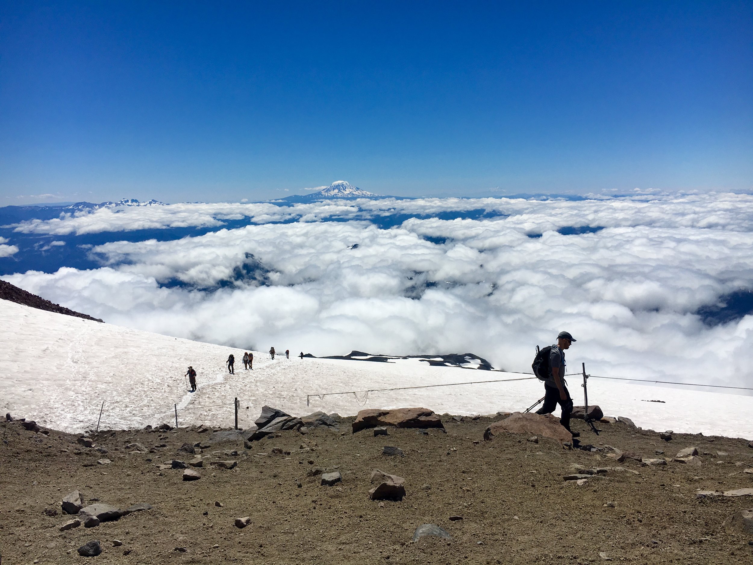
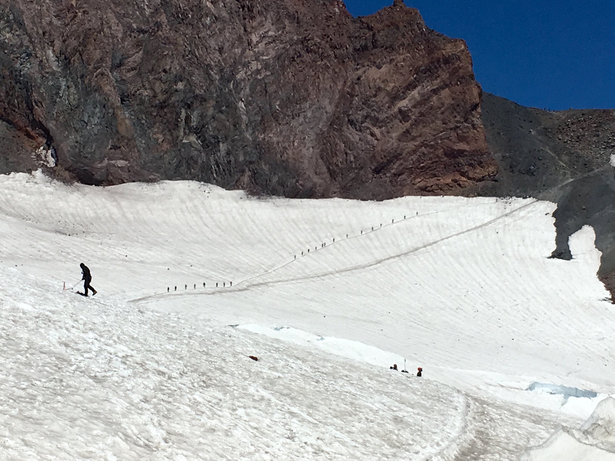
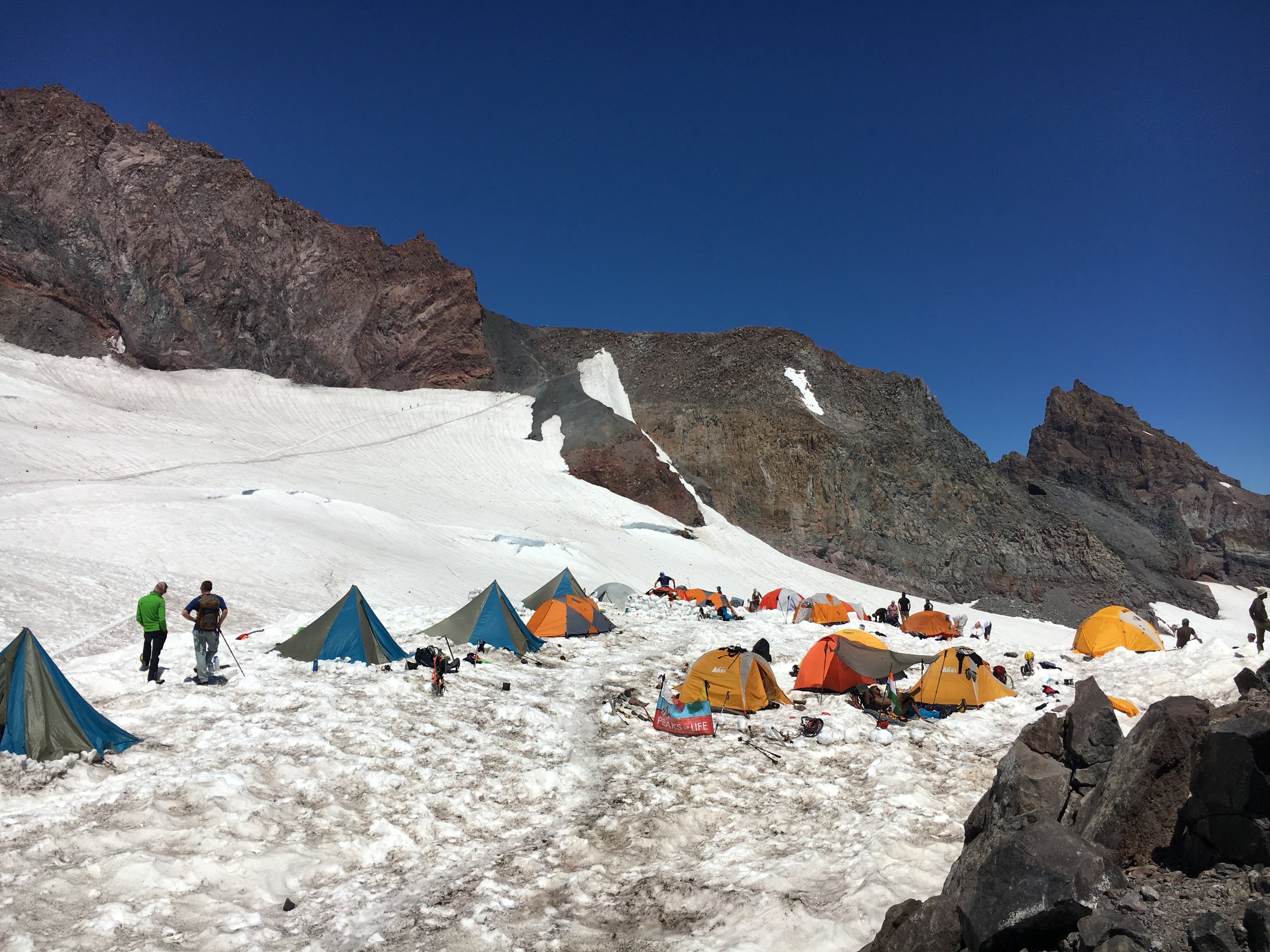
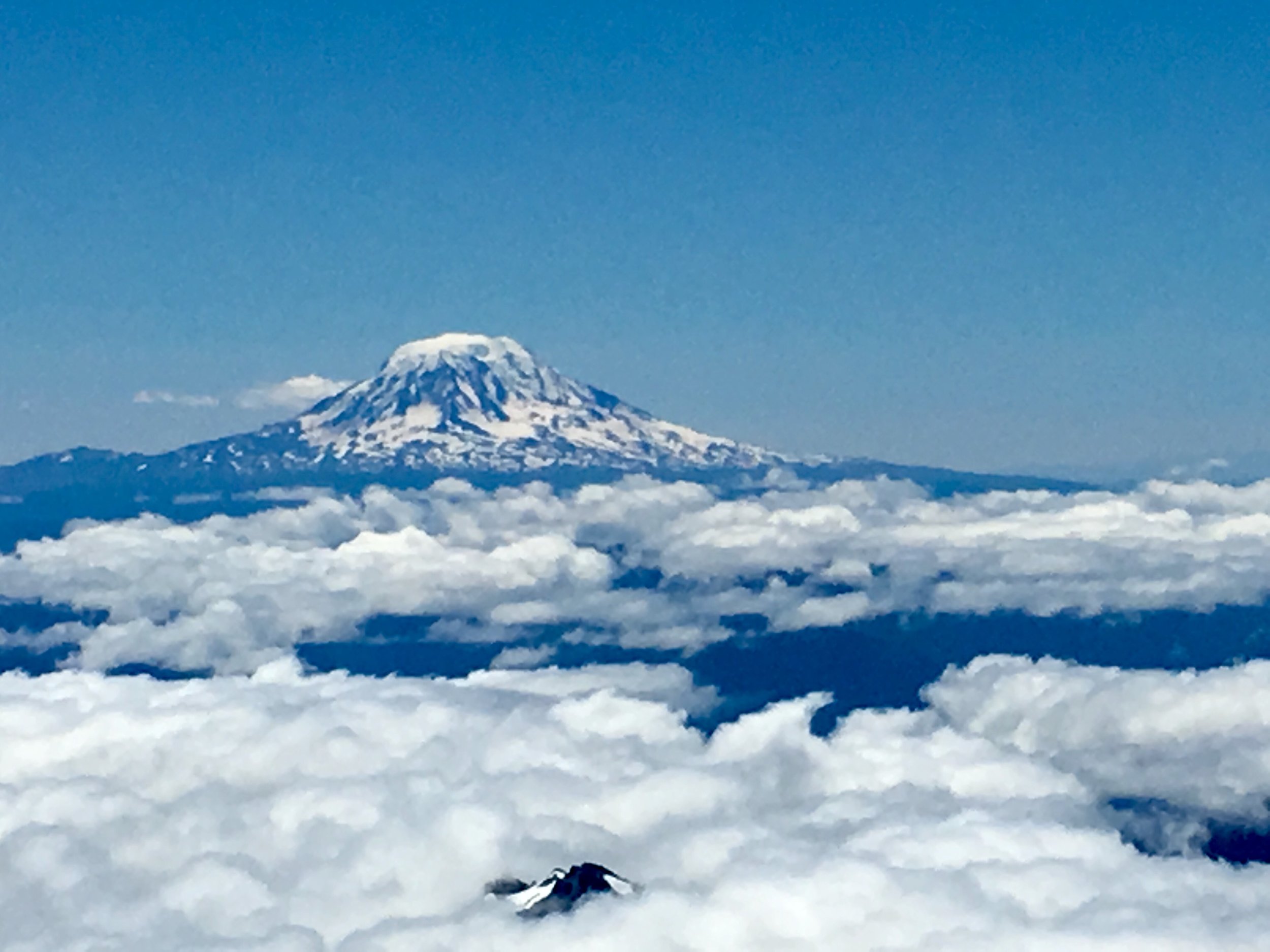
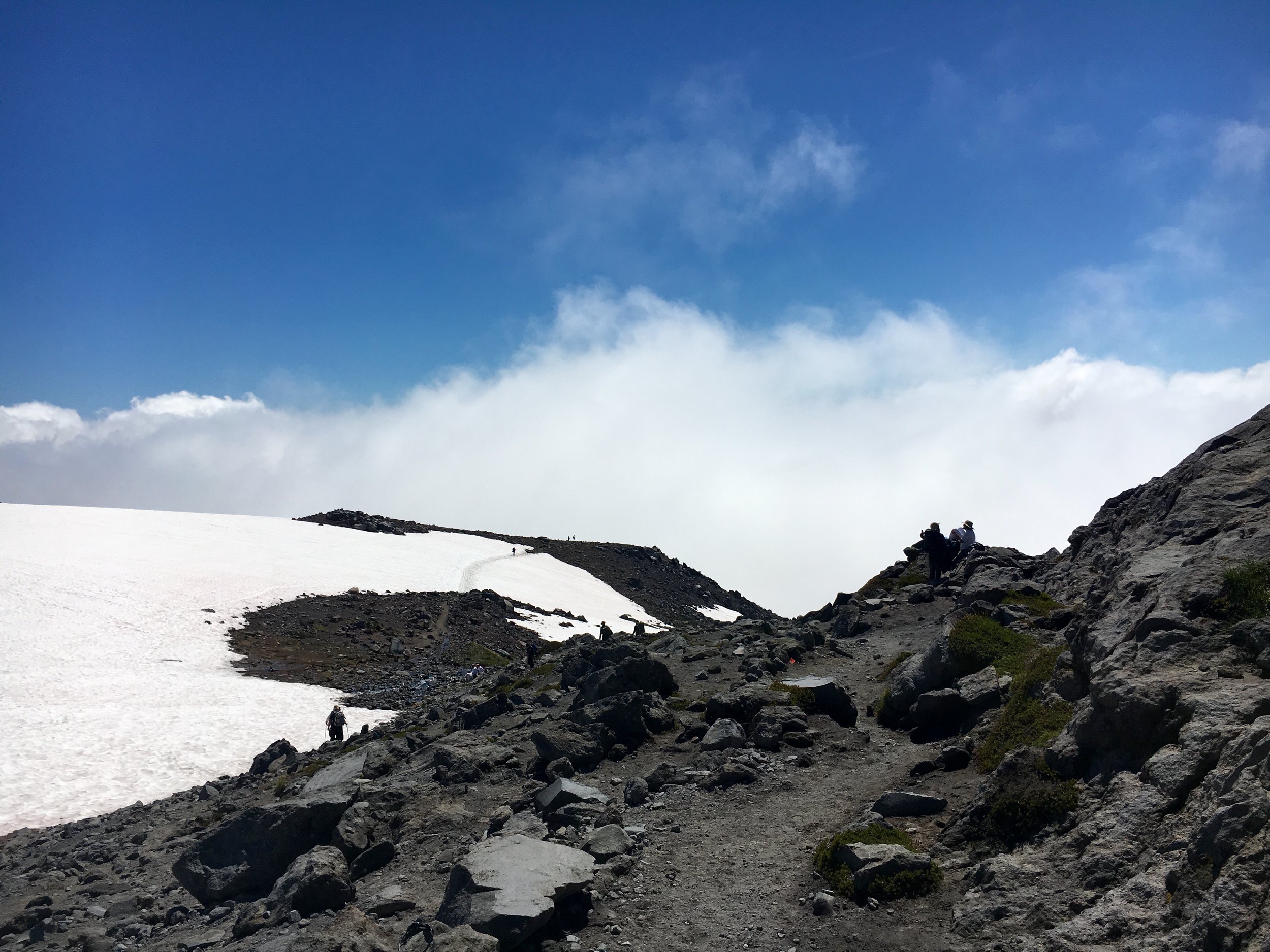
 Hike: Camp Muir
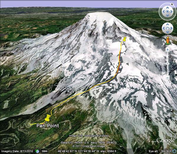
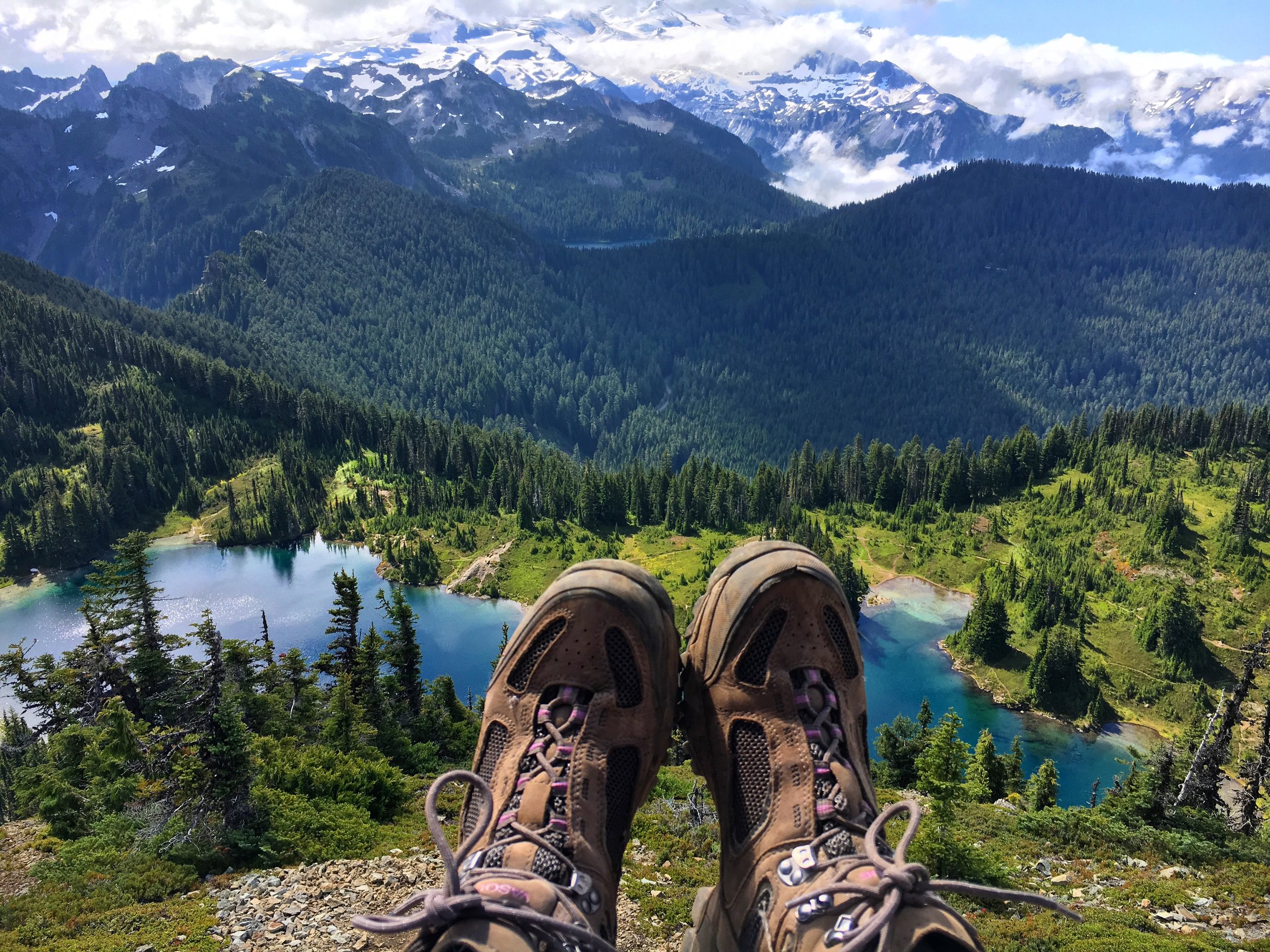
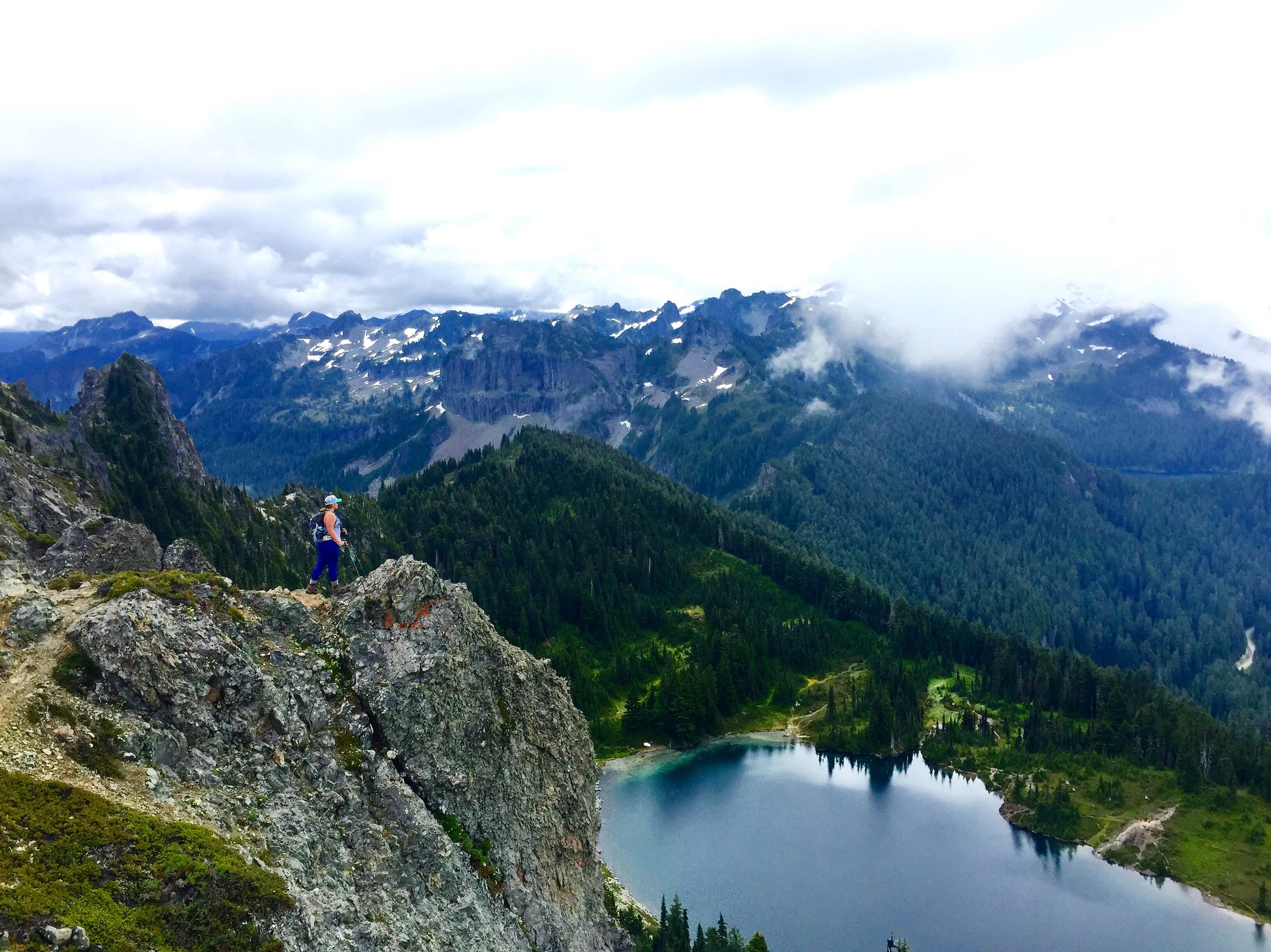
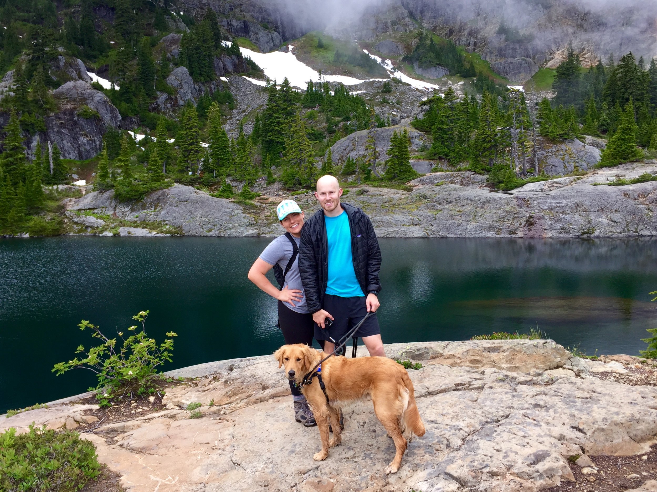
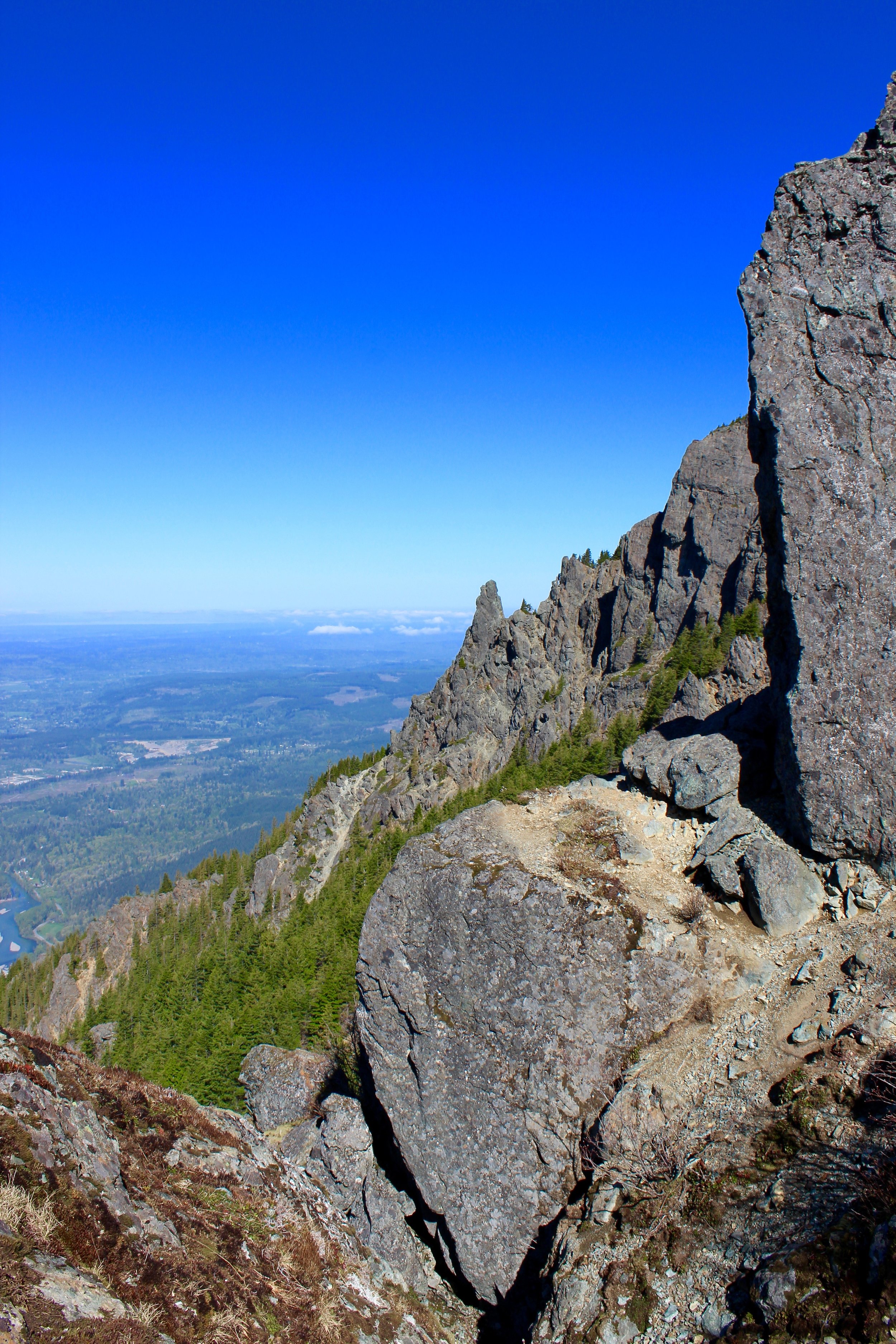
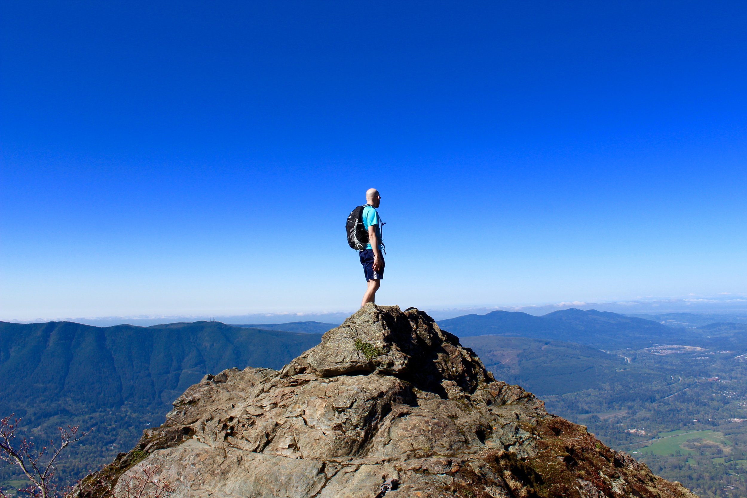
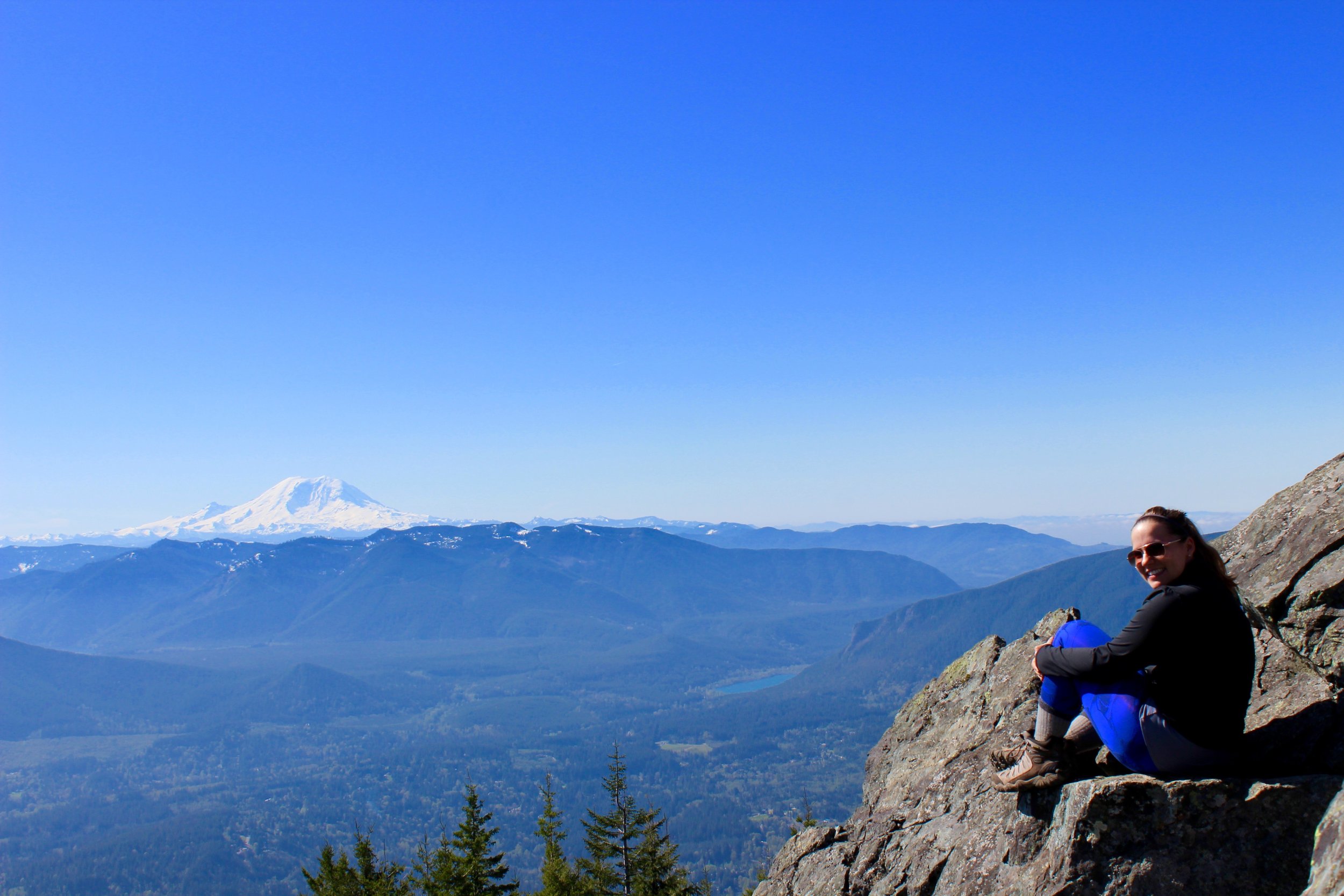
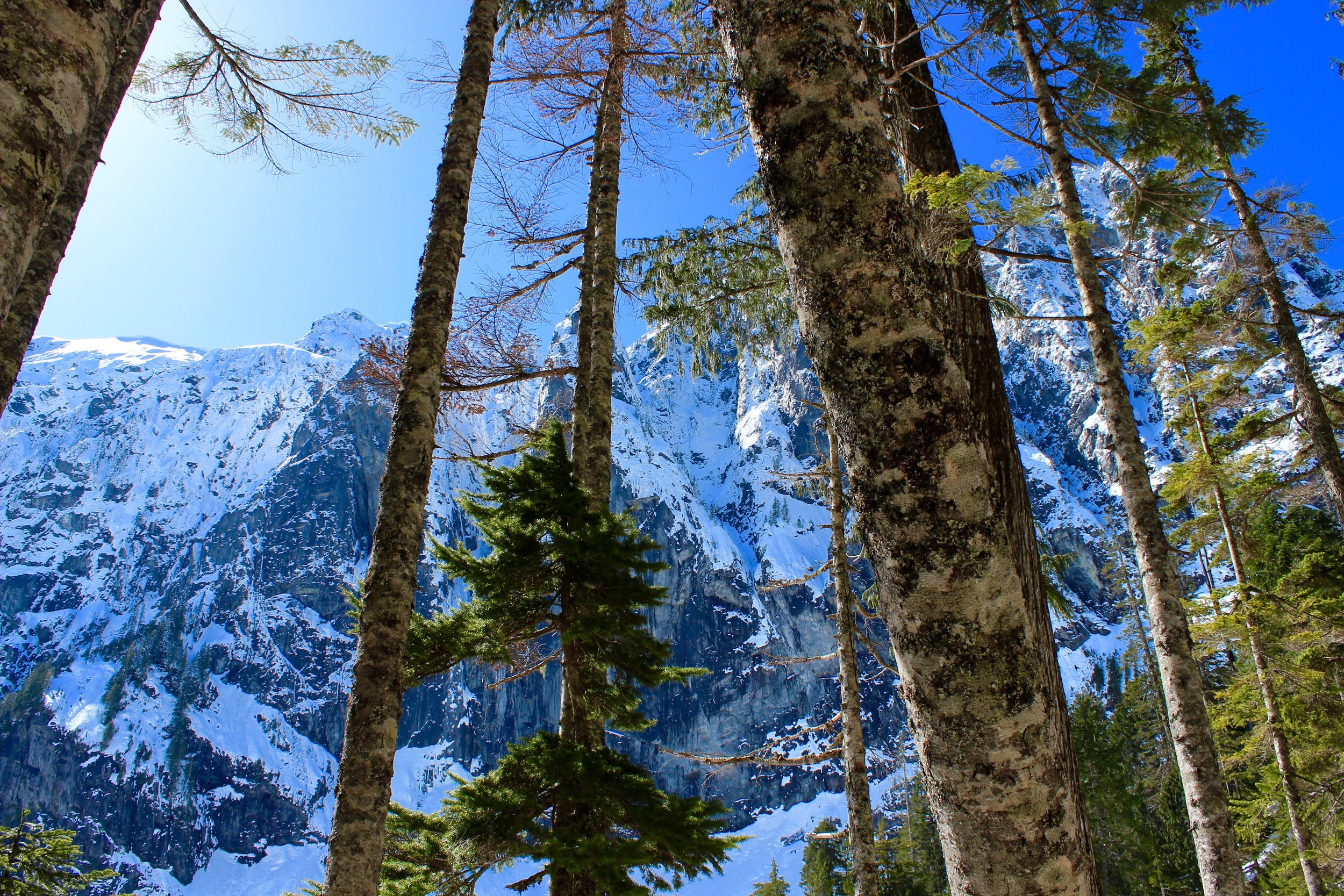
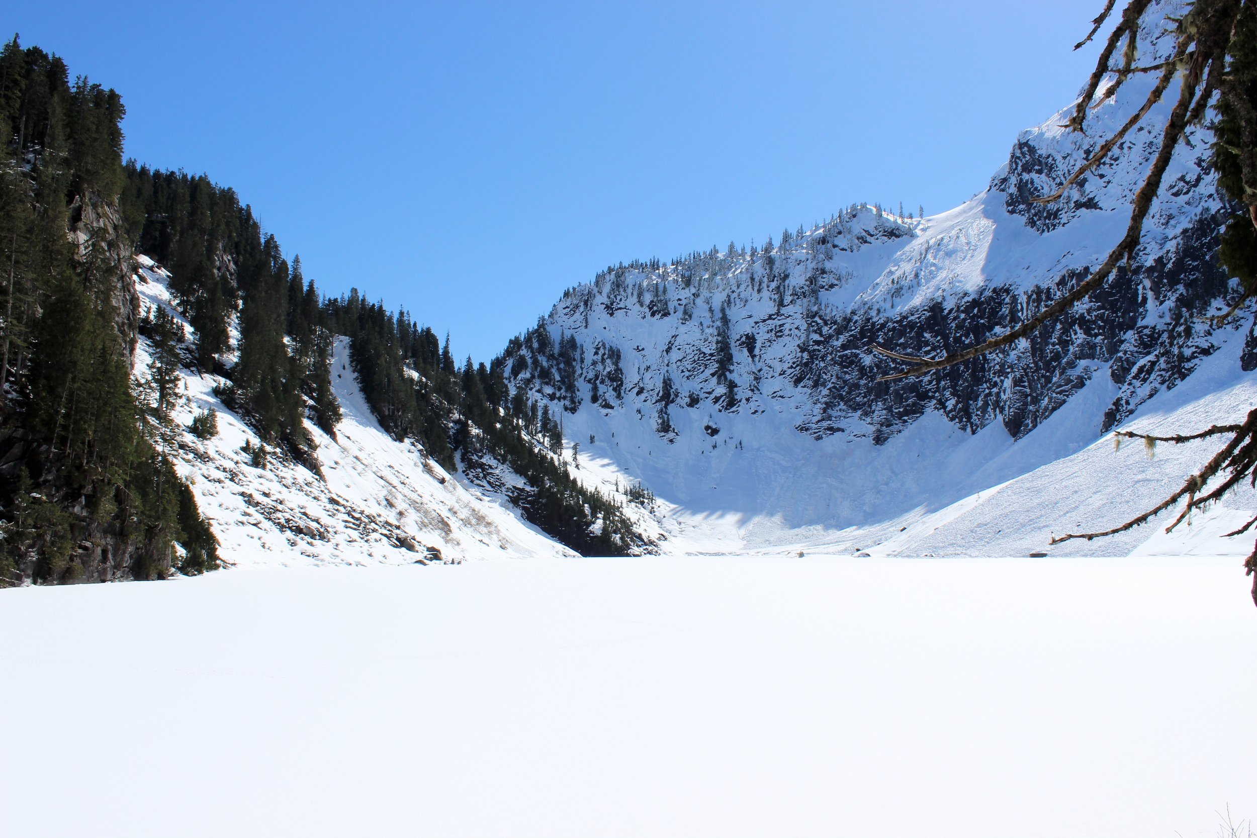
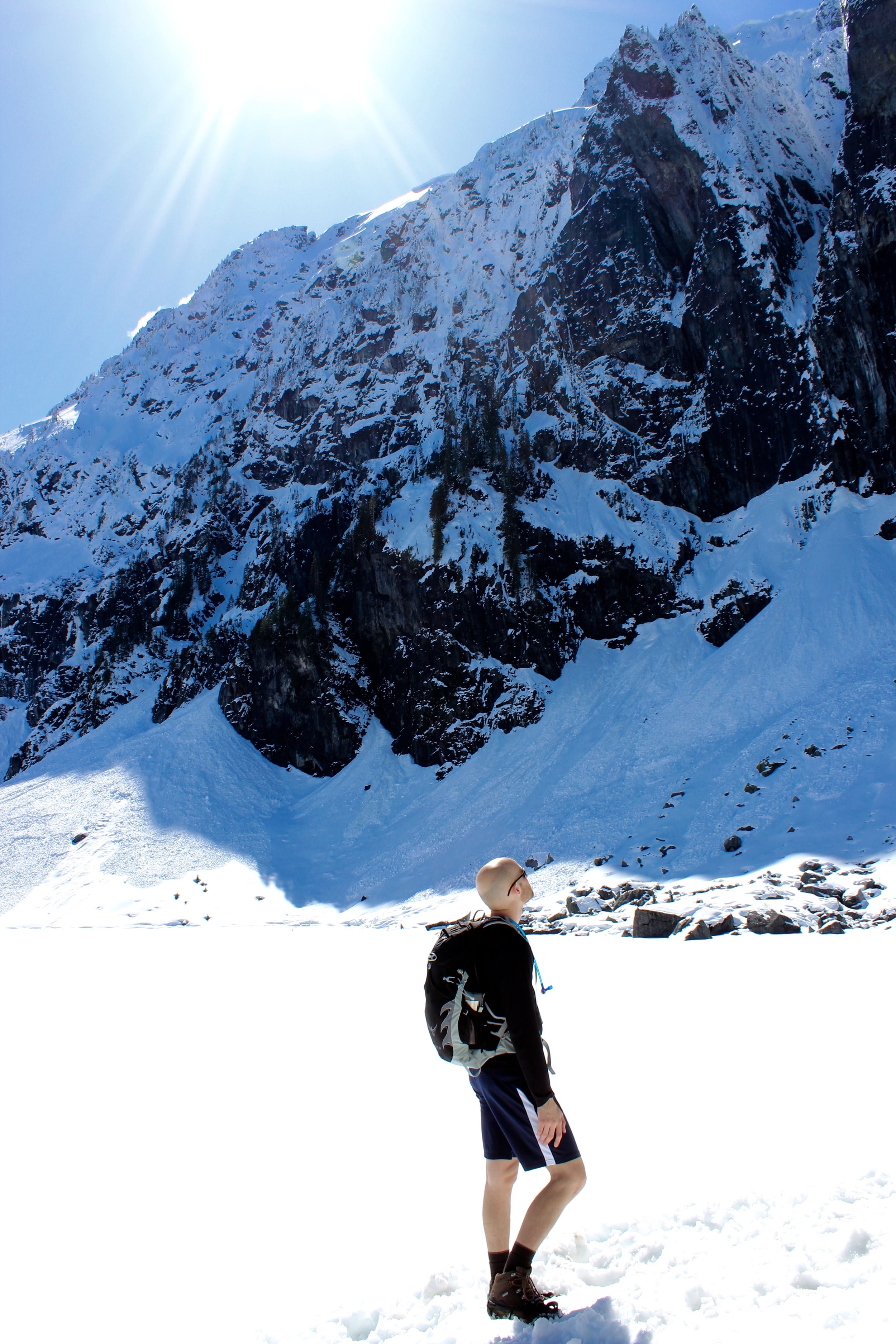
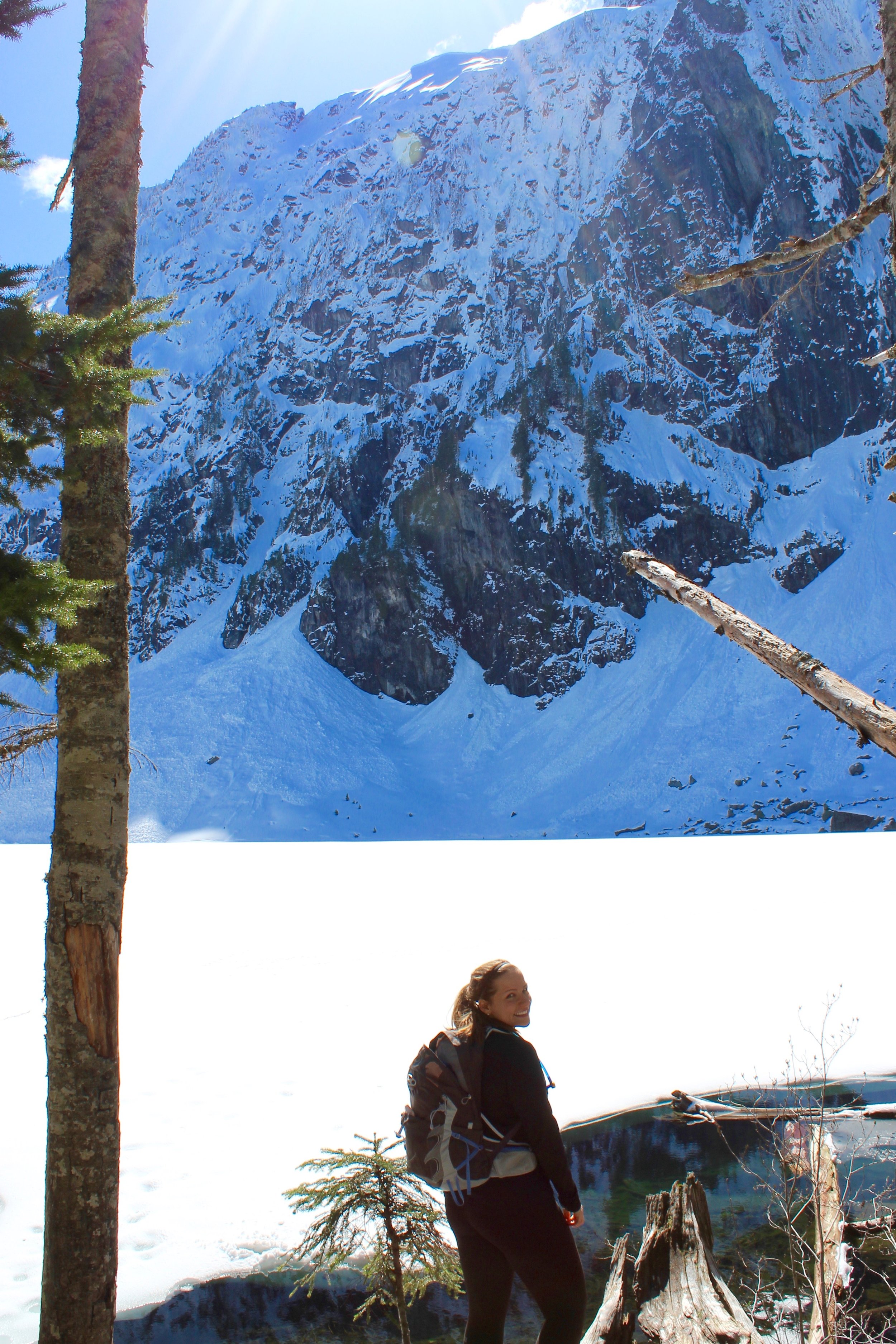
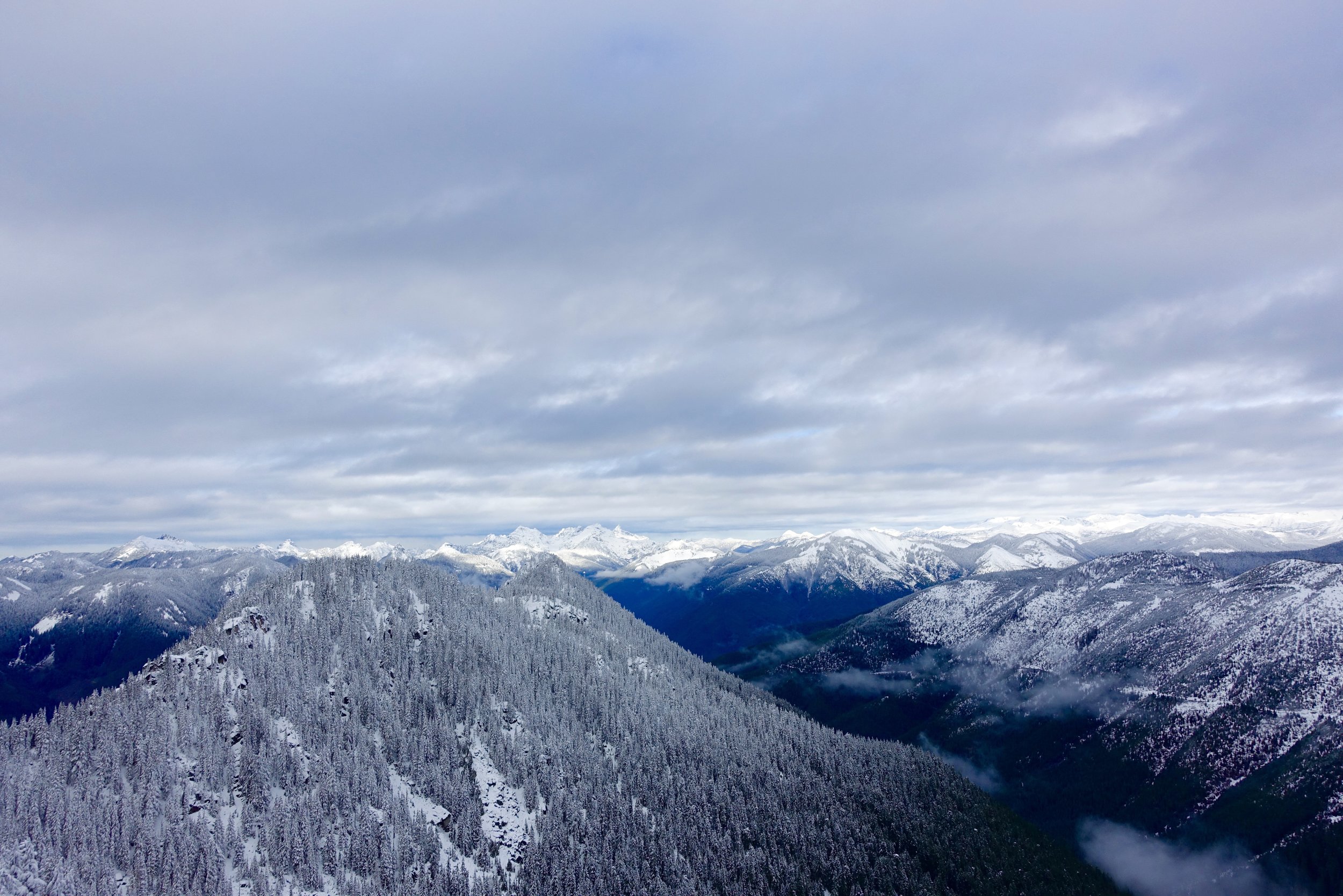
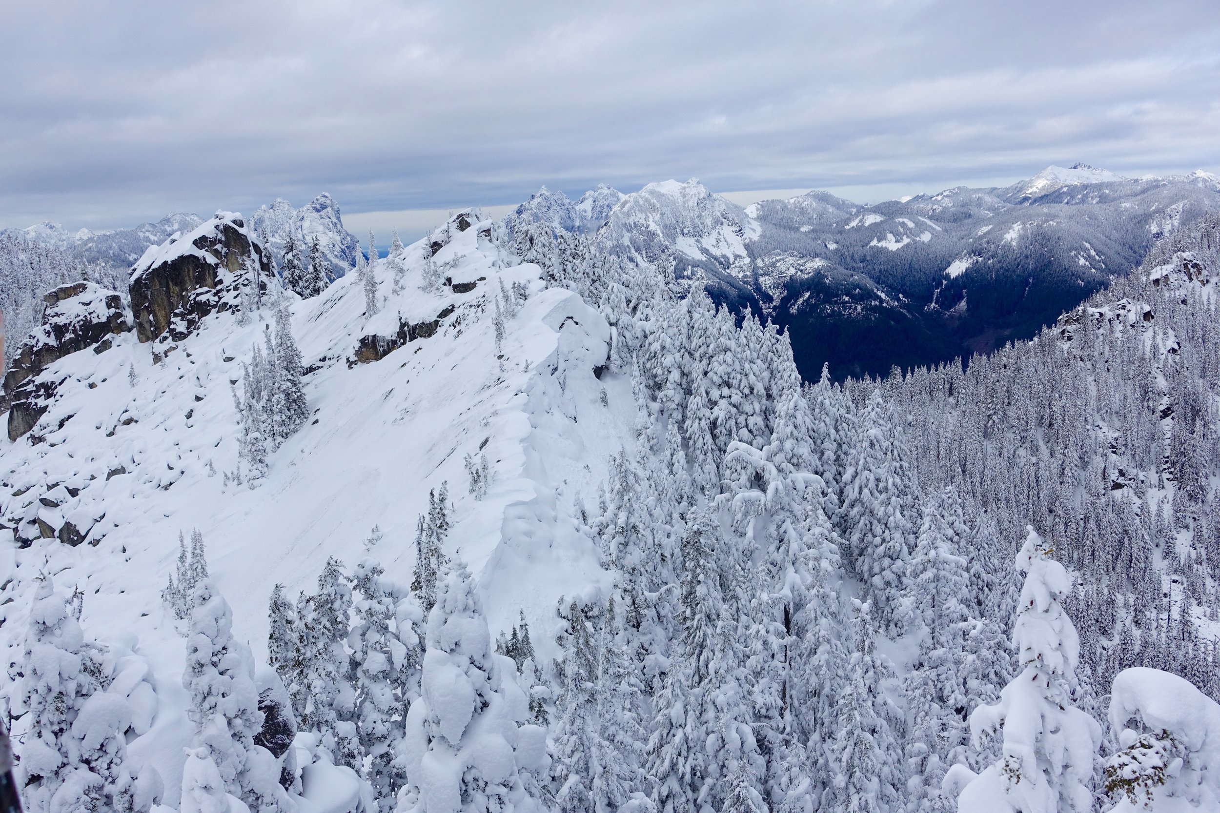
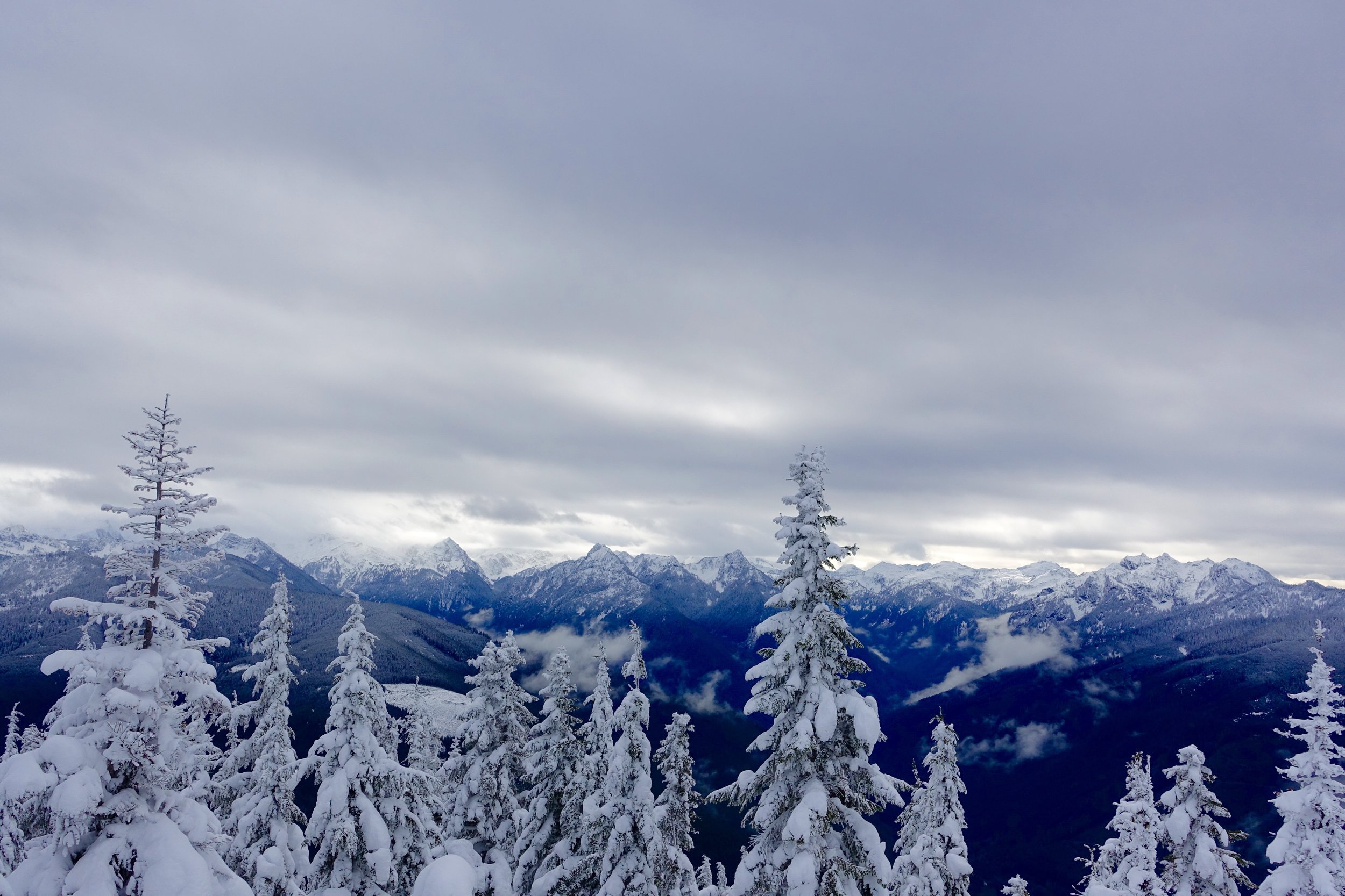
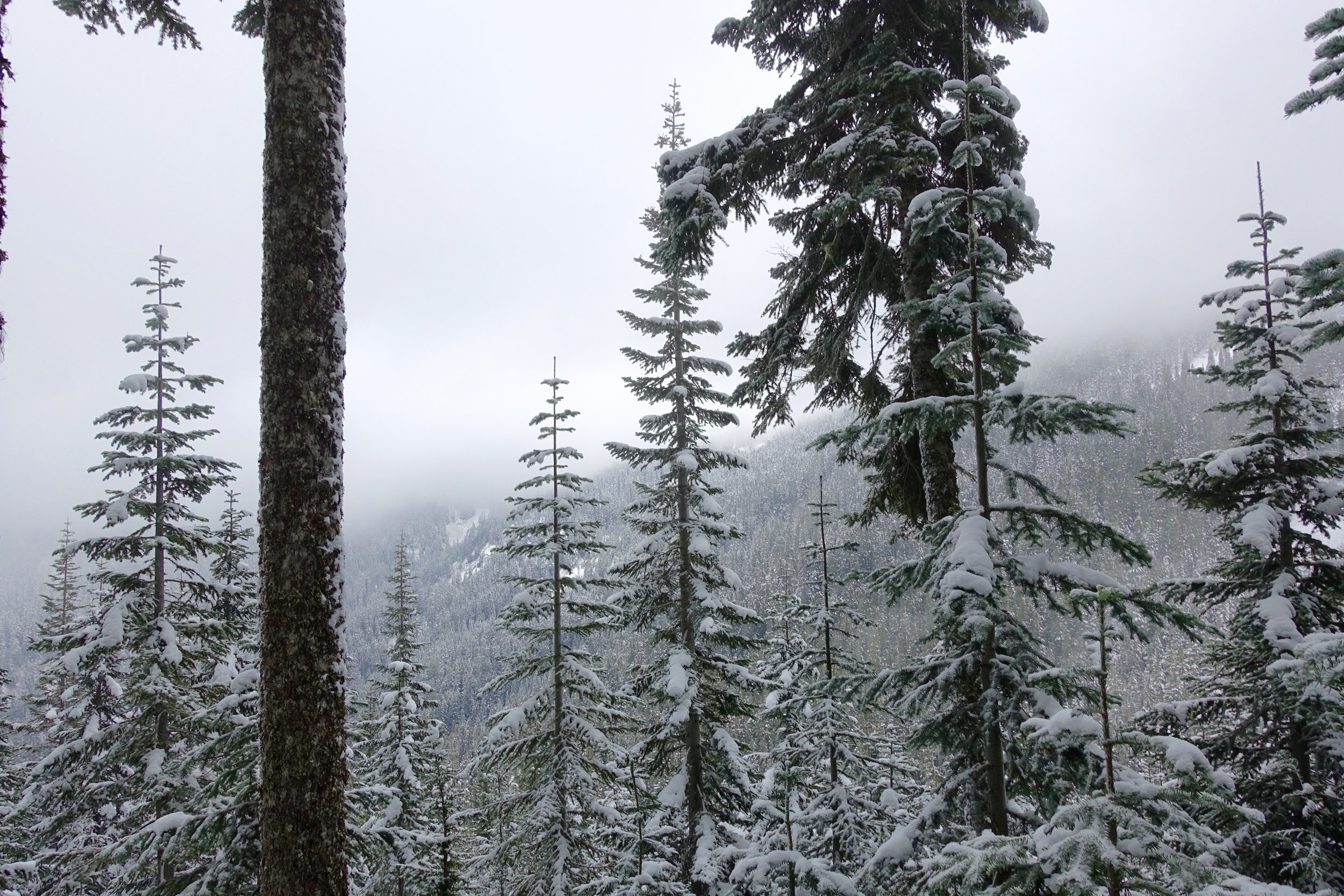
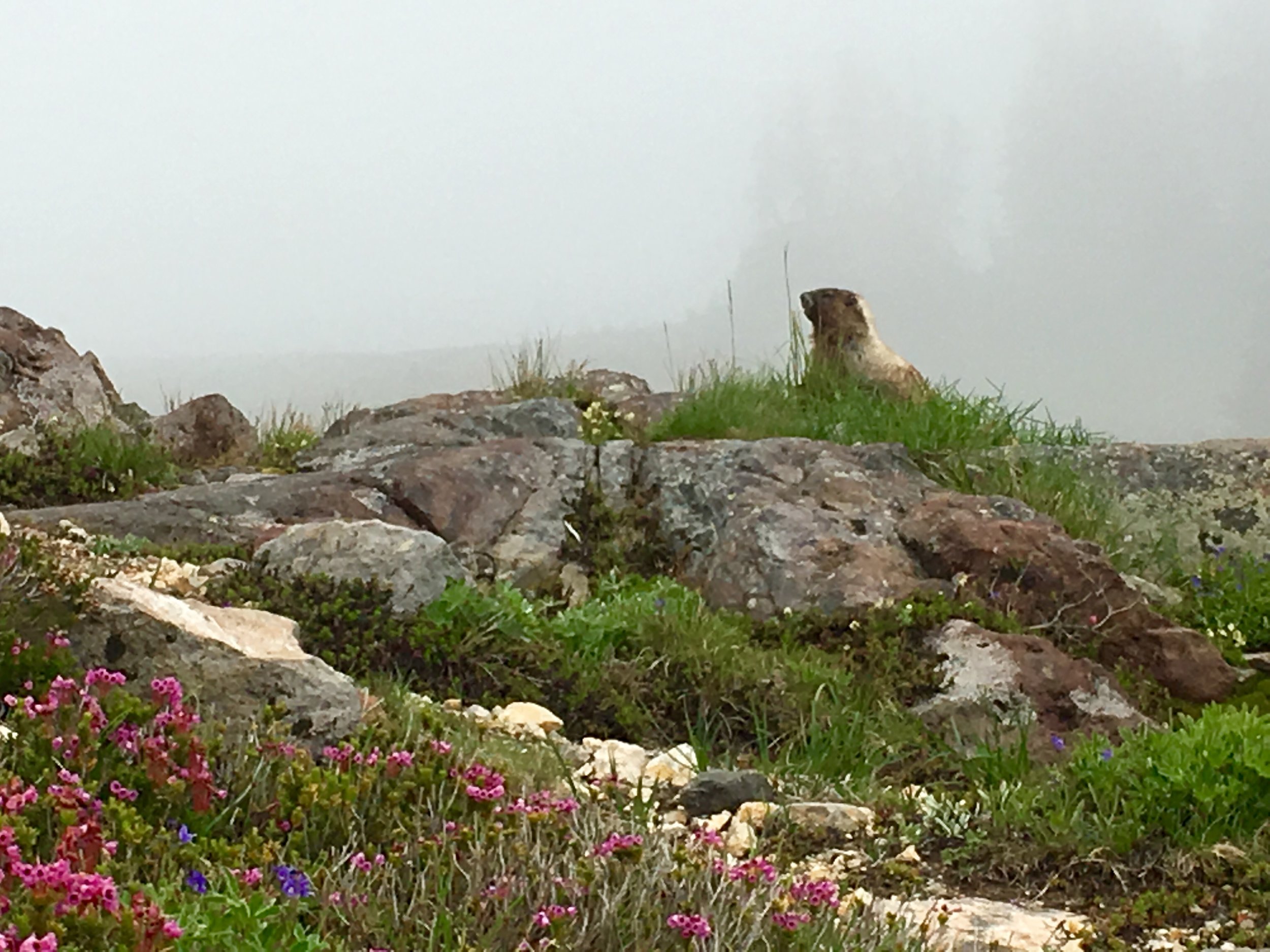
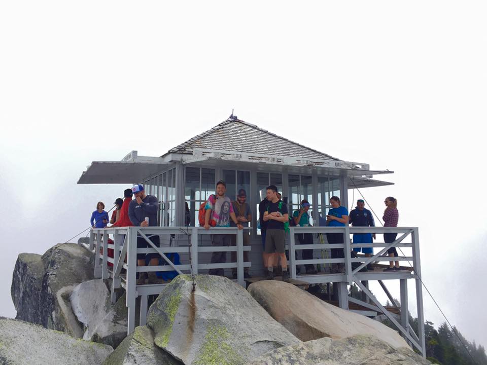
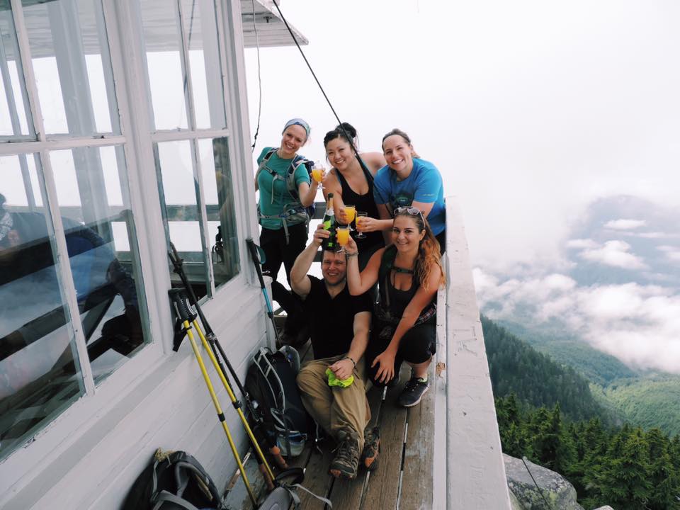
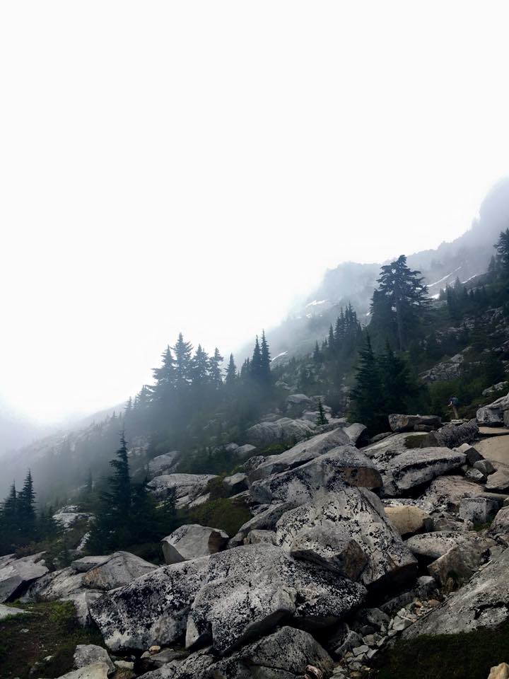
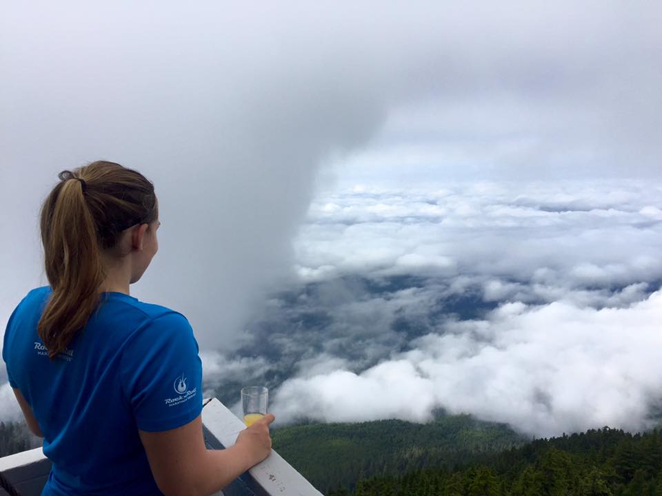
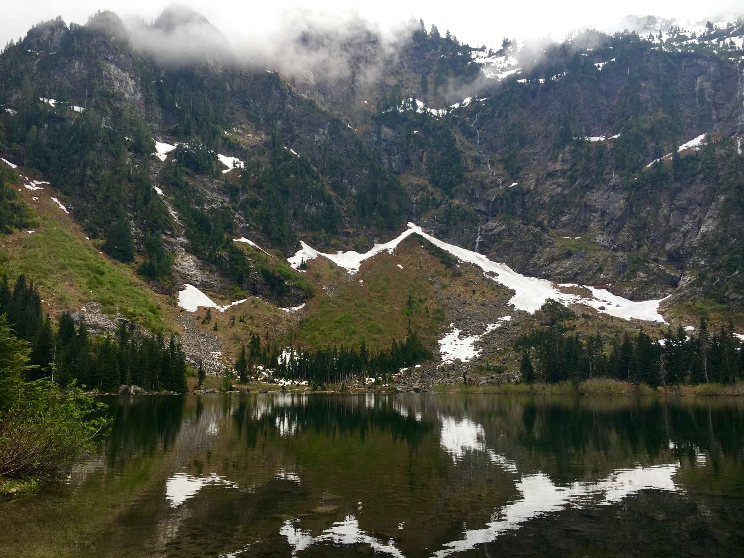
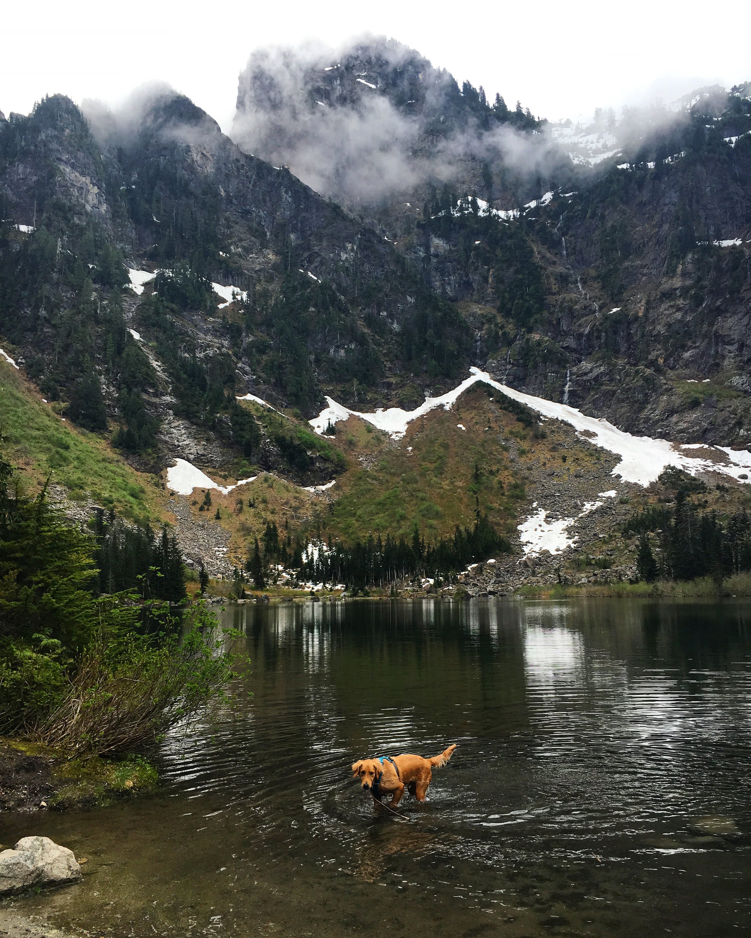
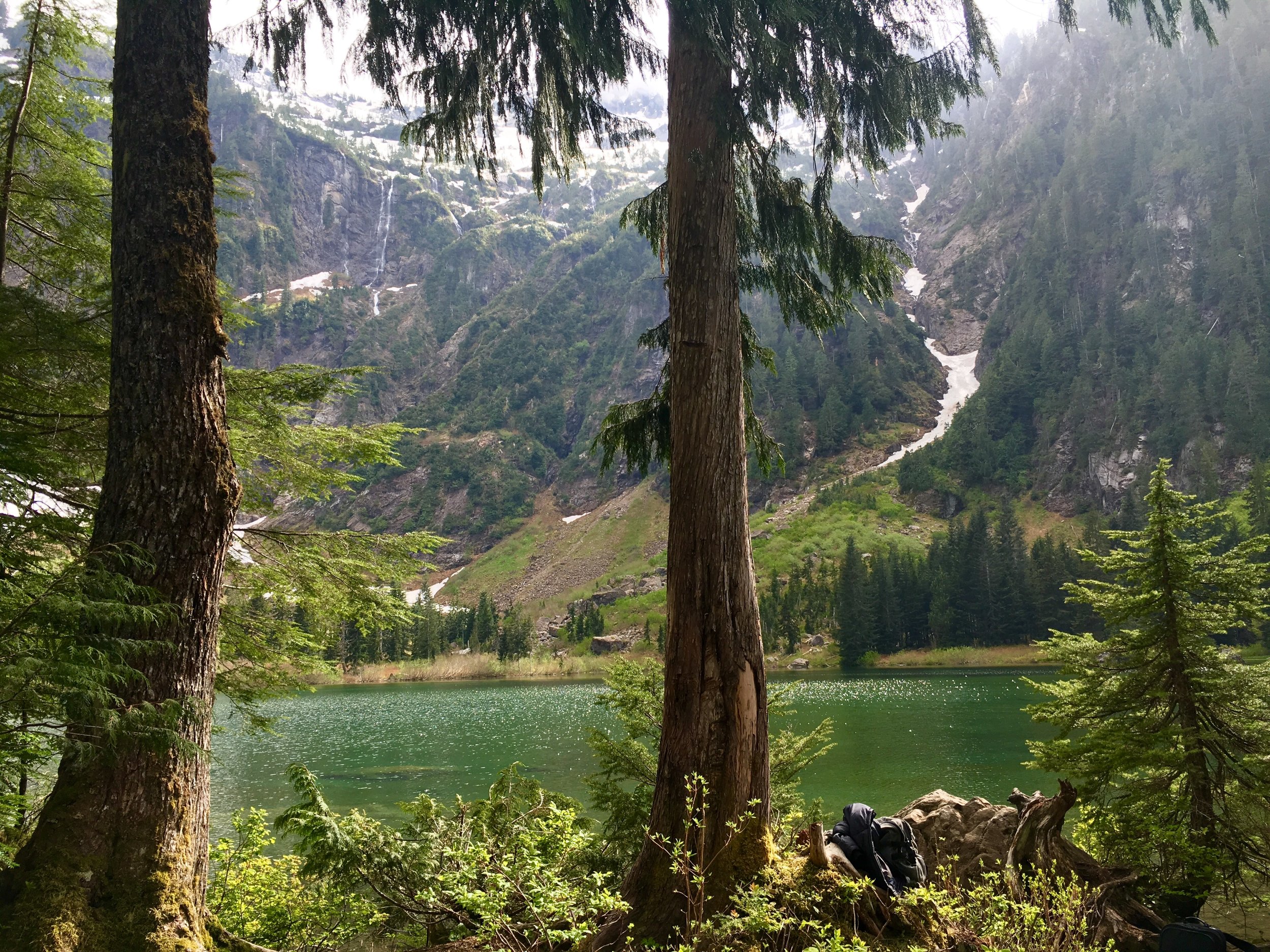
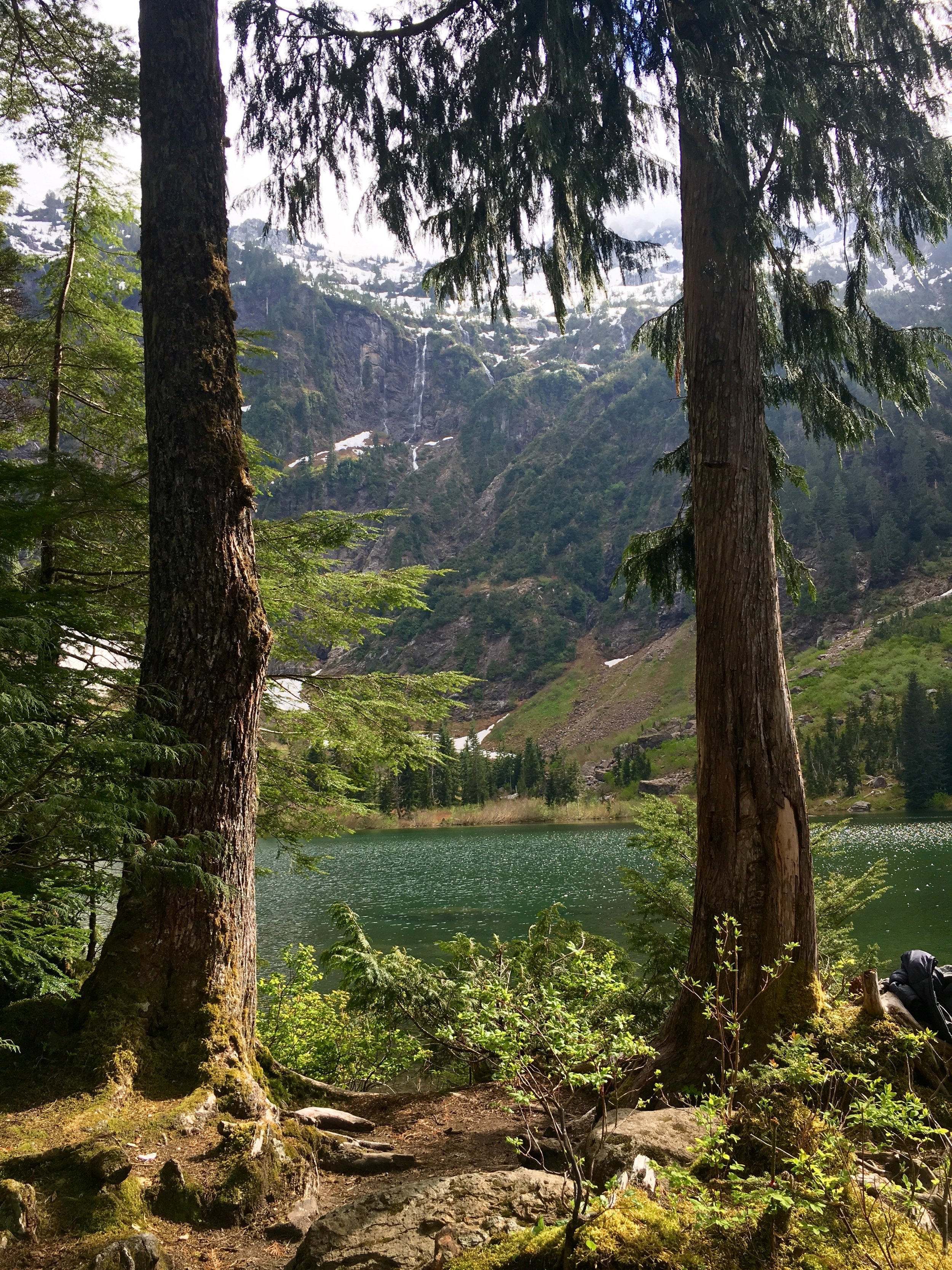
 Where: Near Snoqualmie Pass in the Alpine Lakes Wilderness
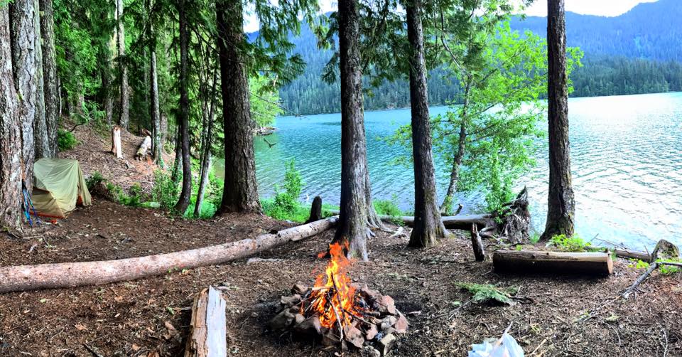
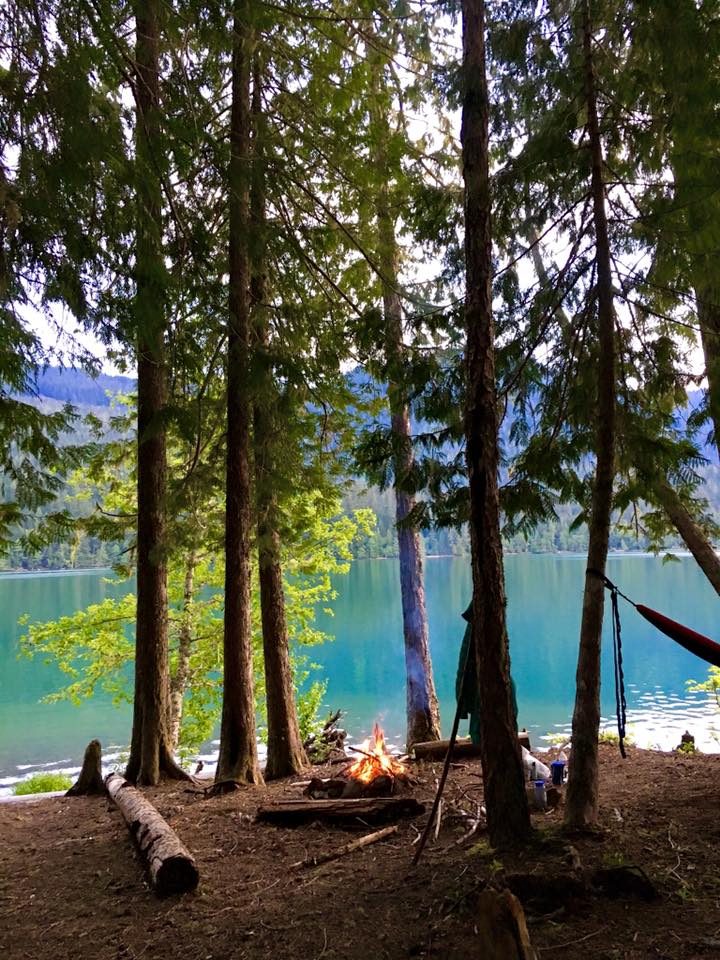
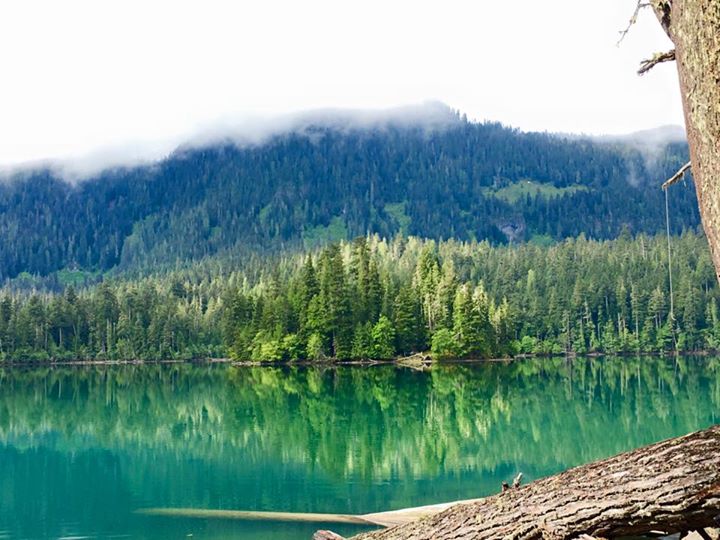
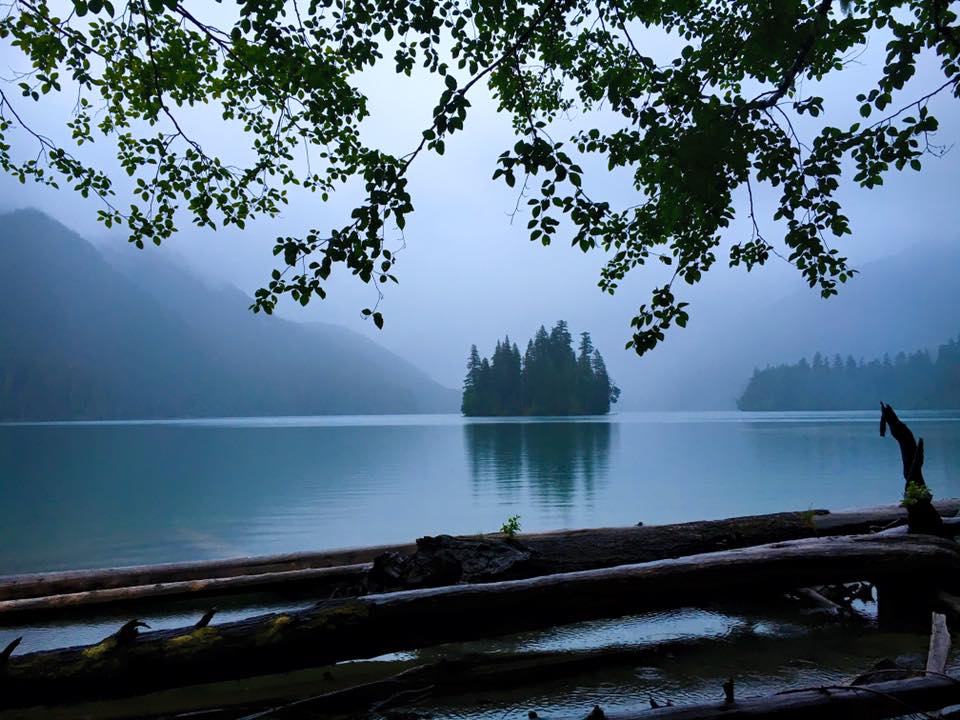
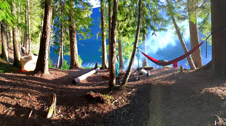
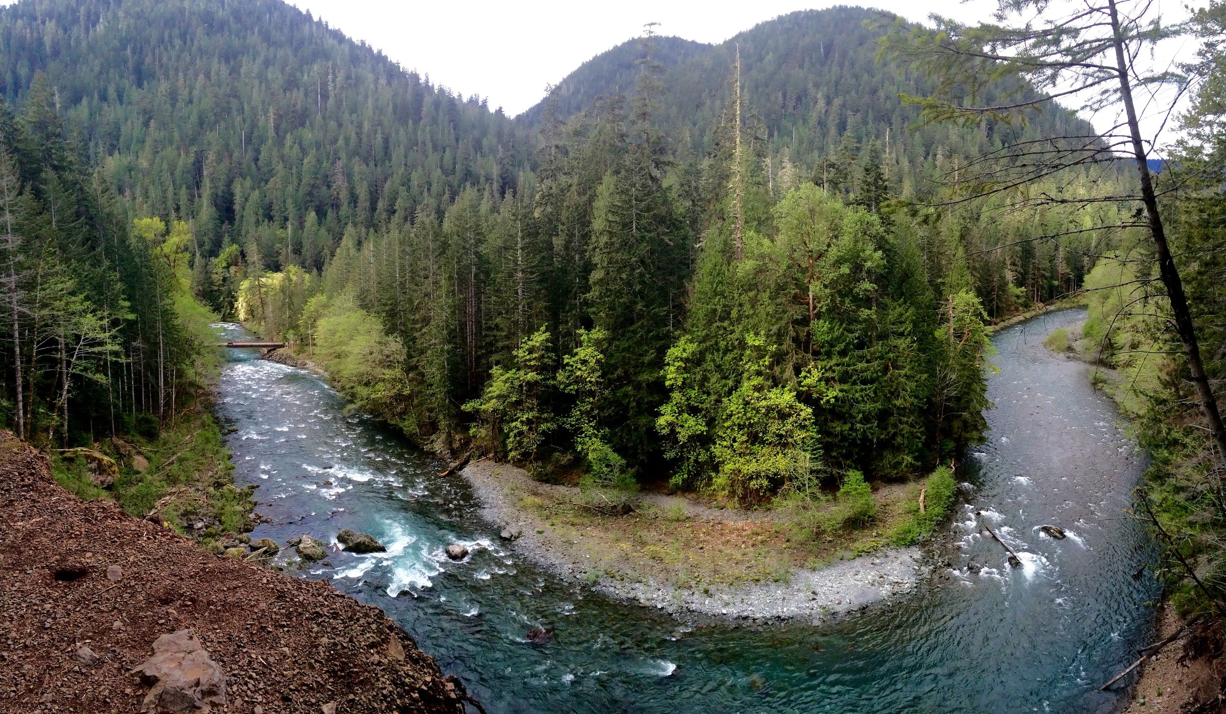
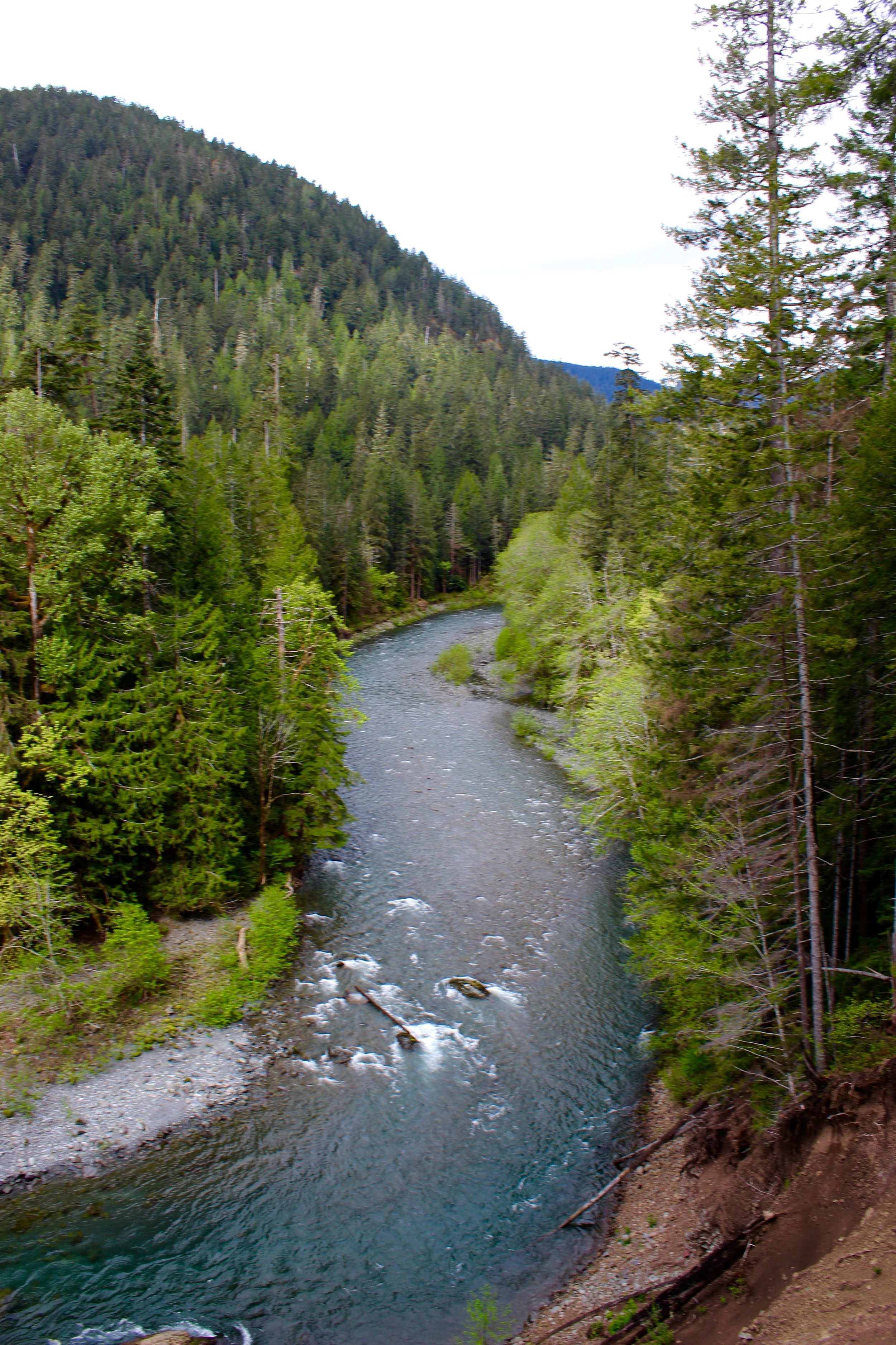
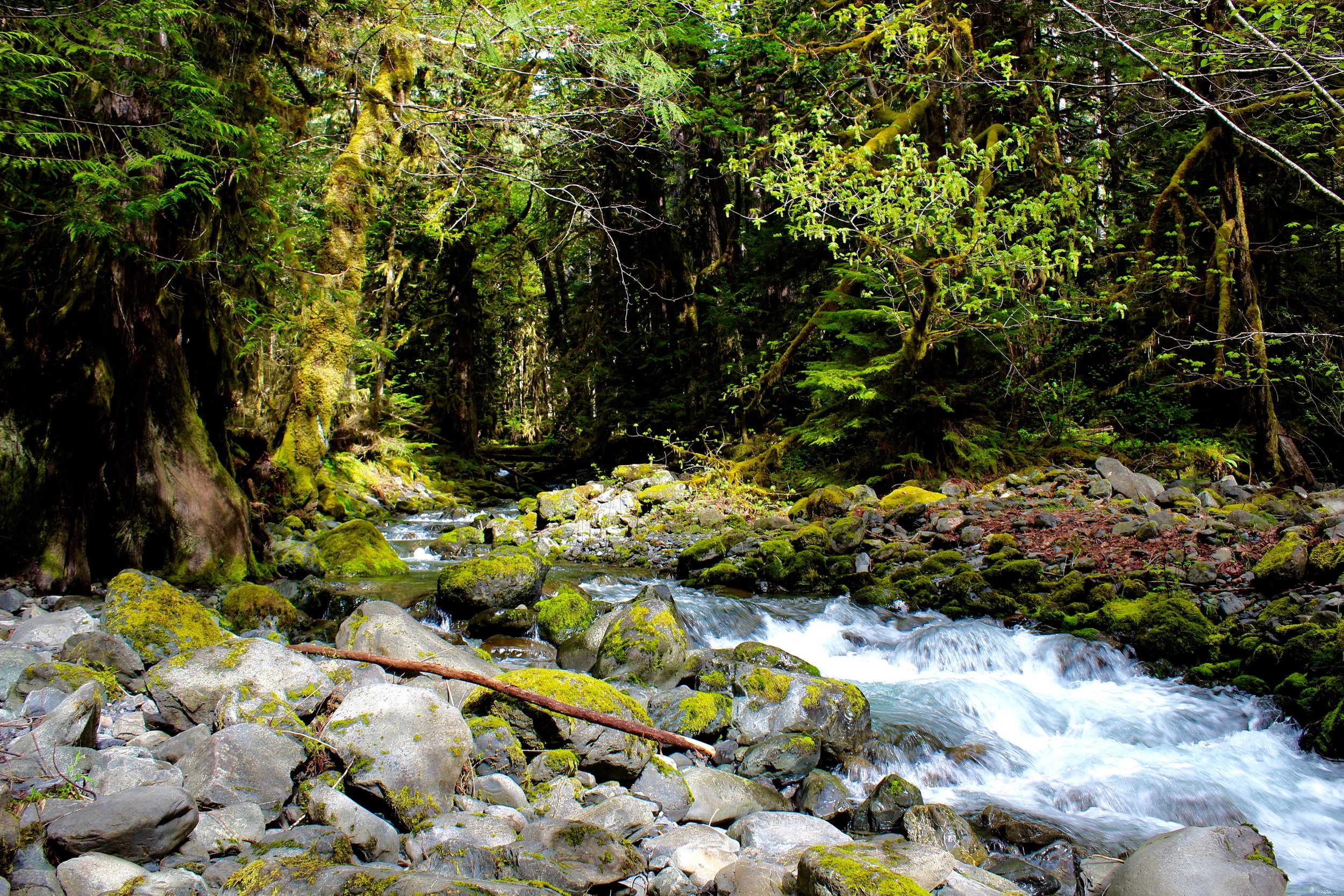
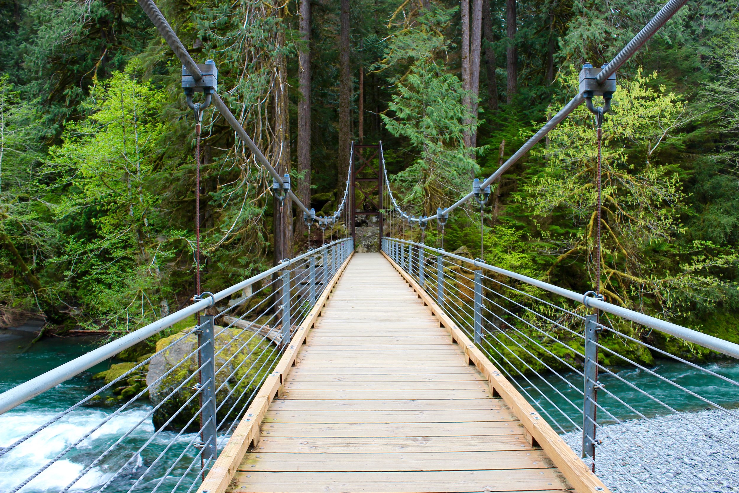
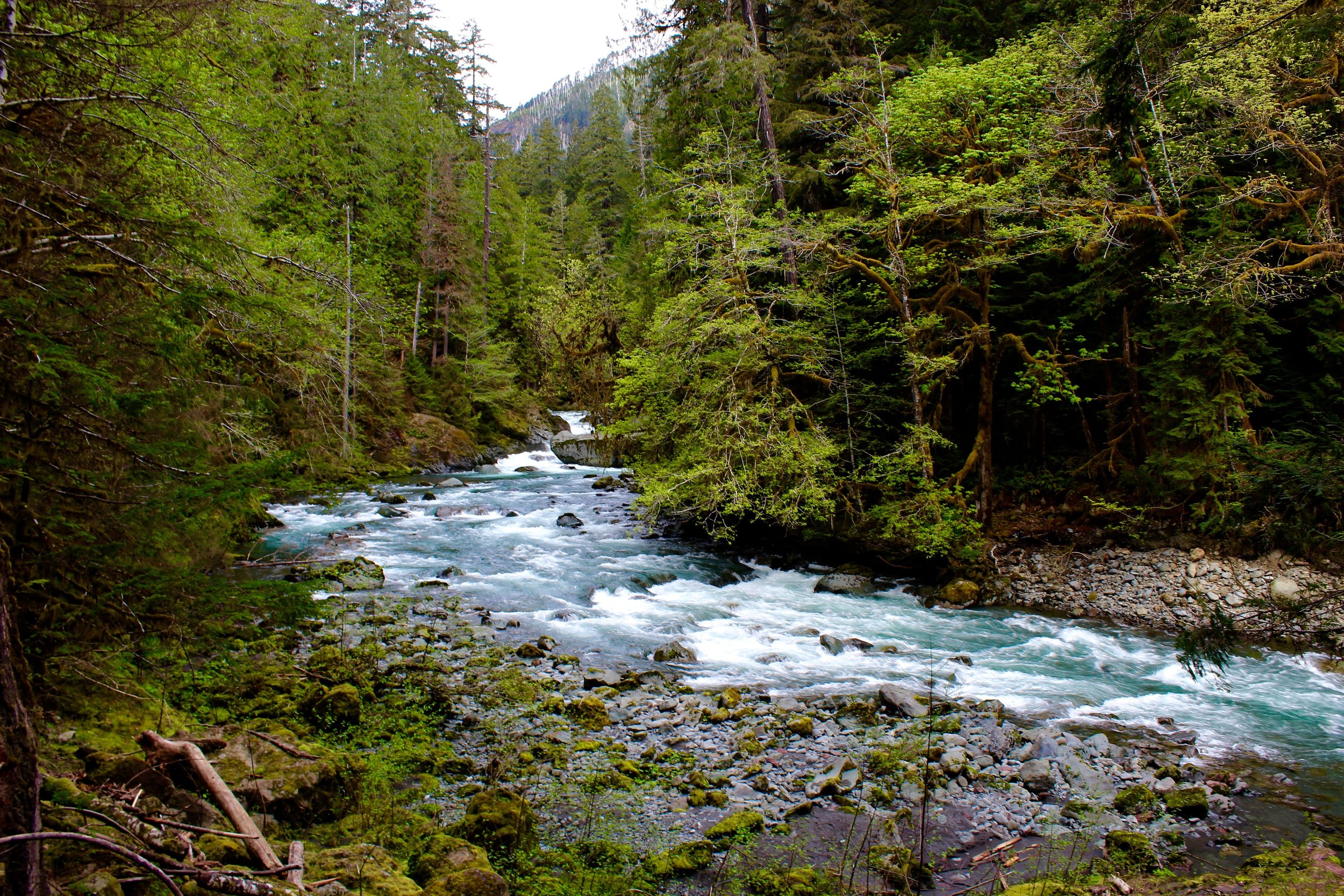
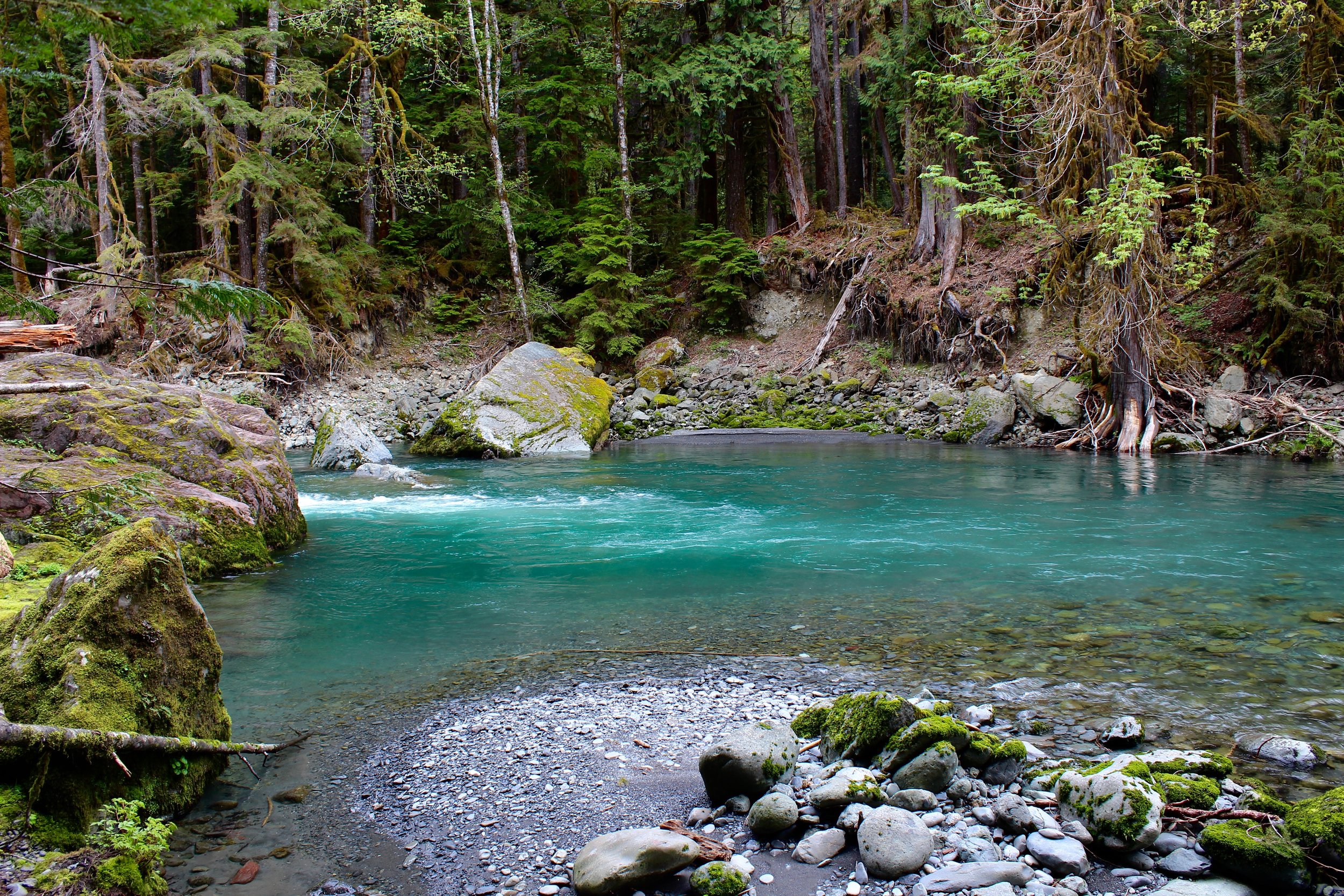
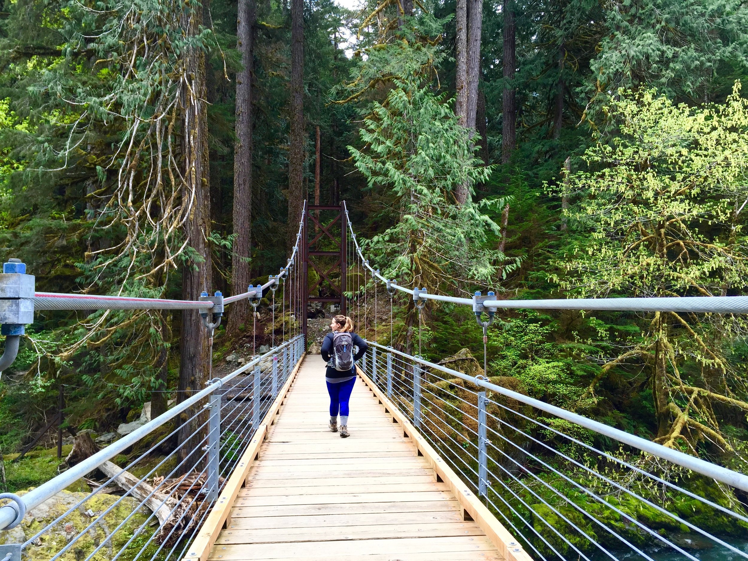
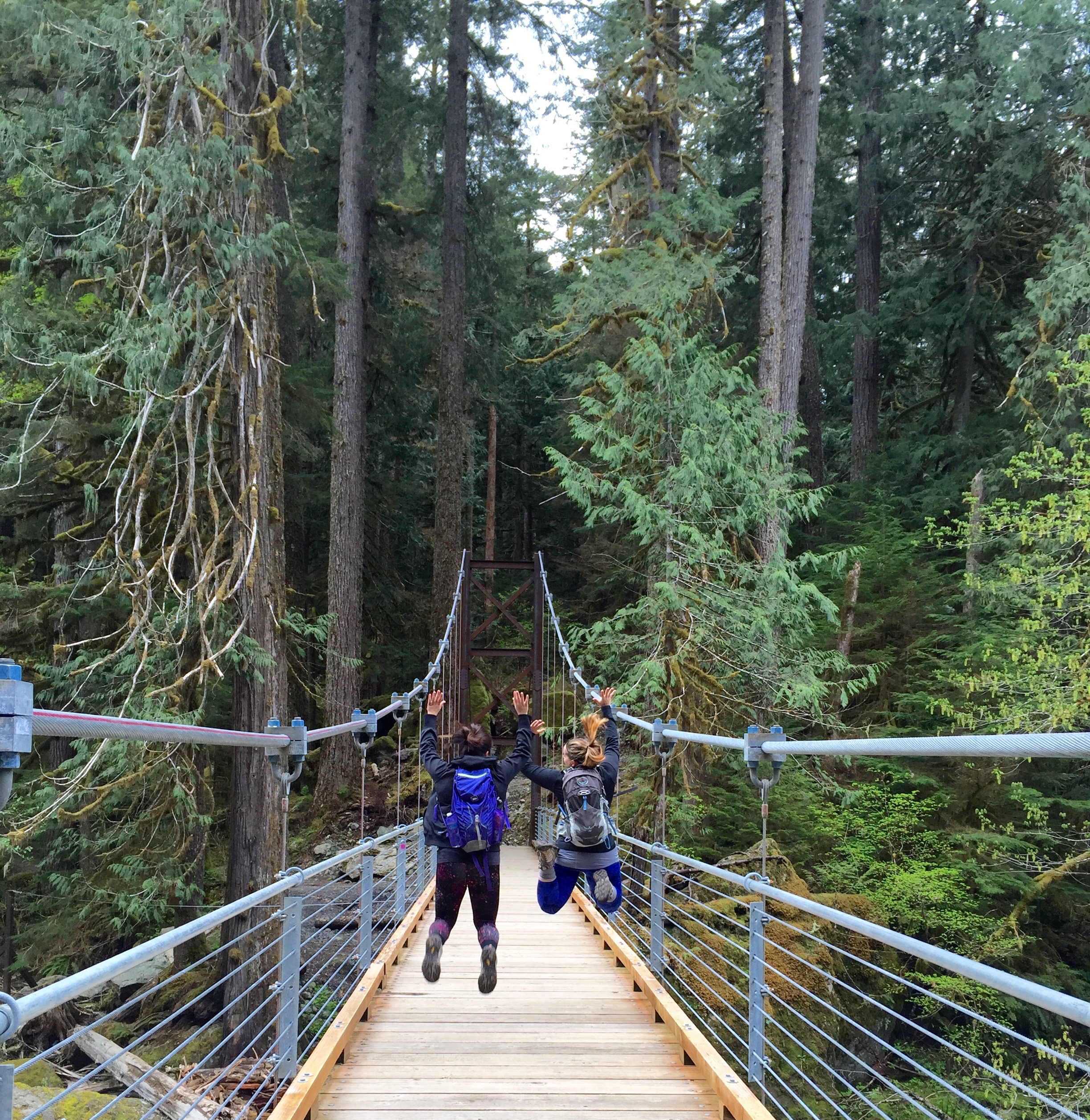
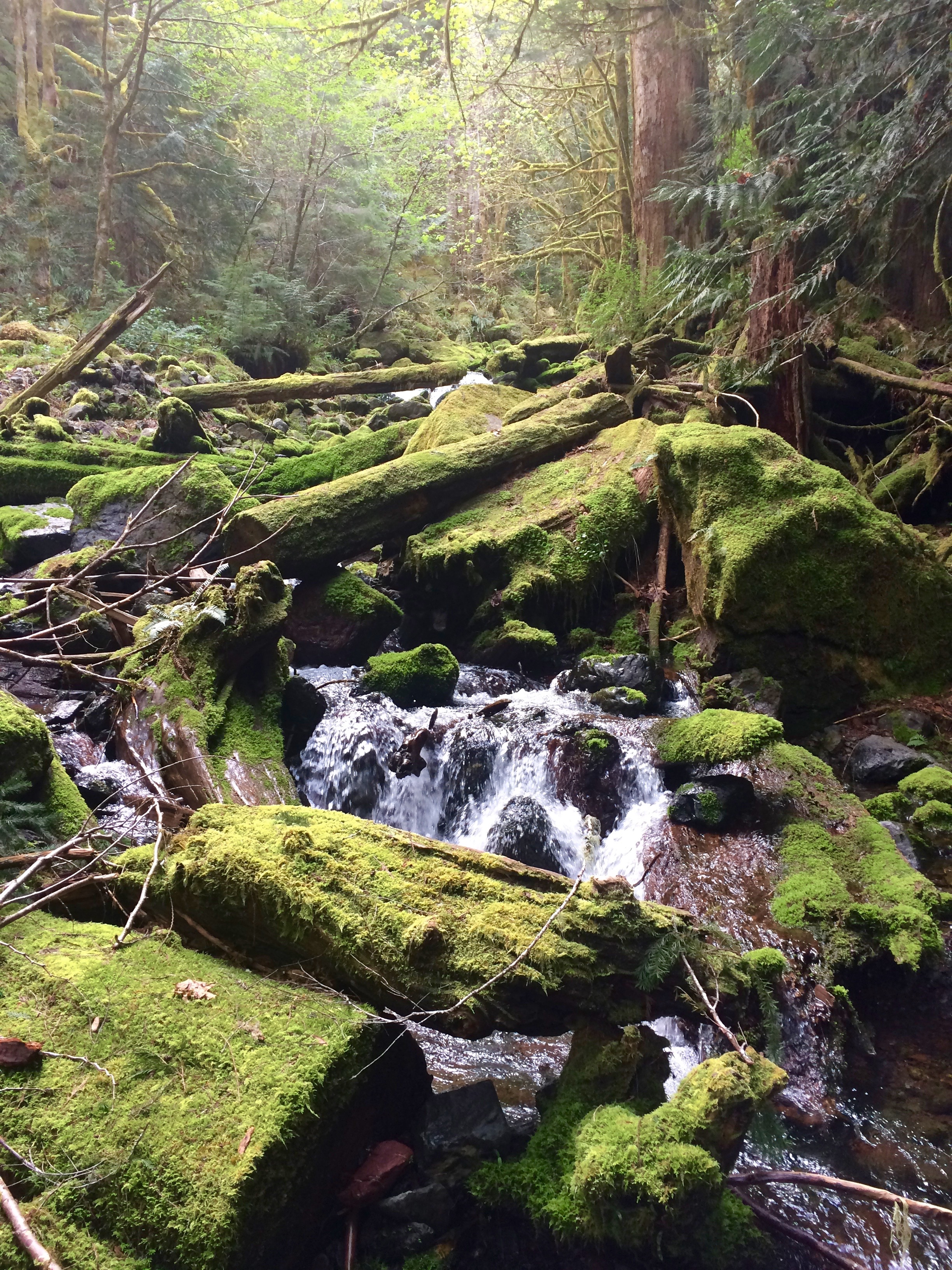
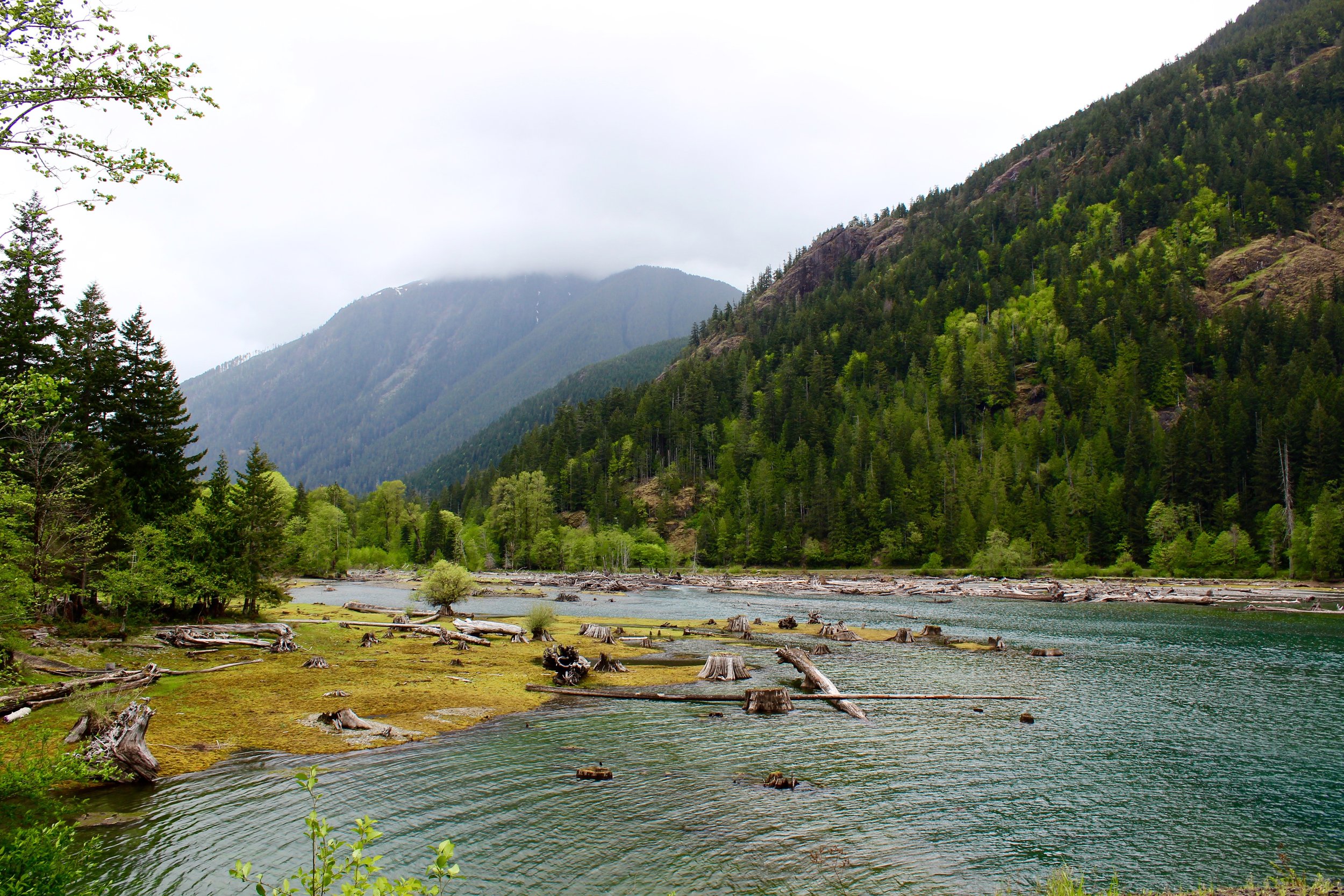
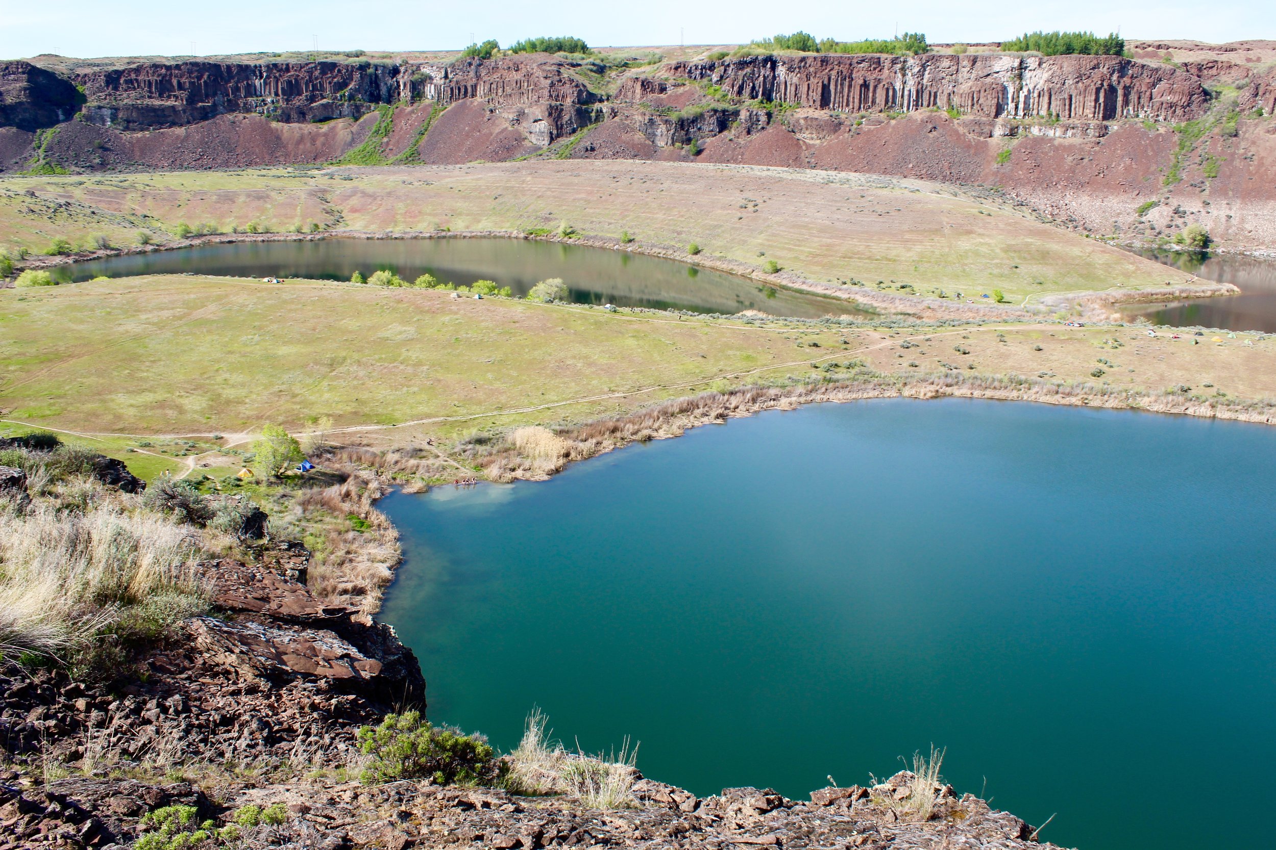
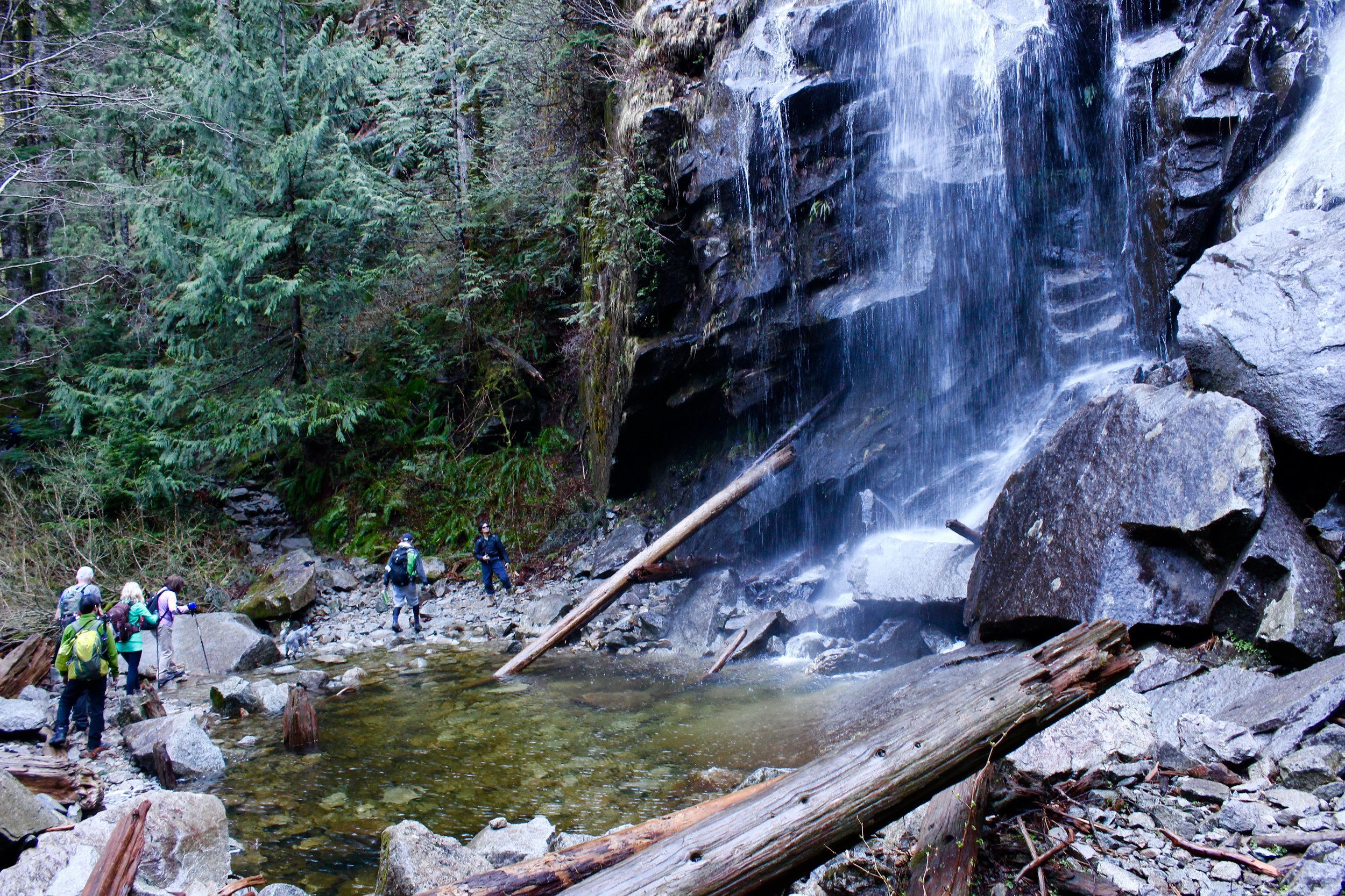
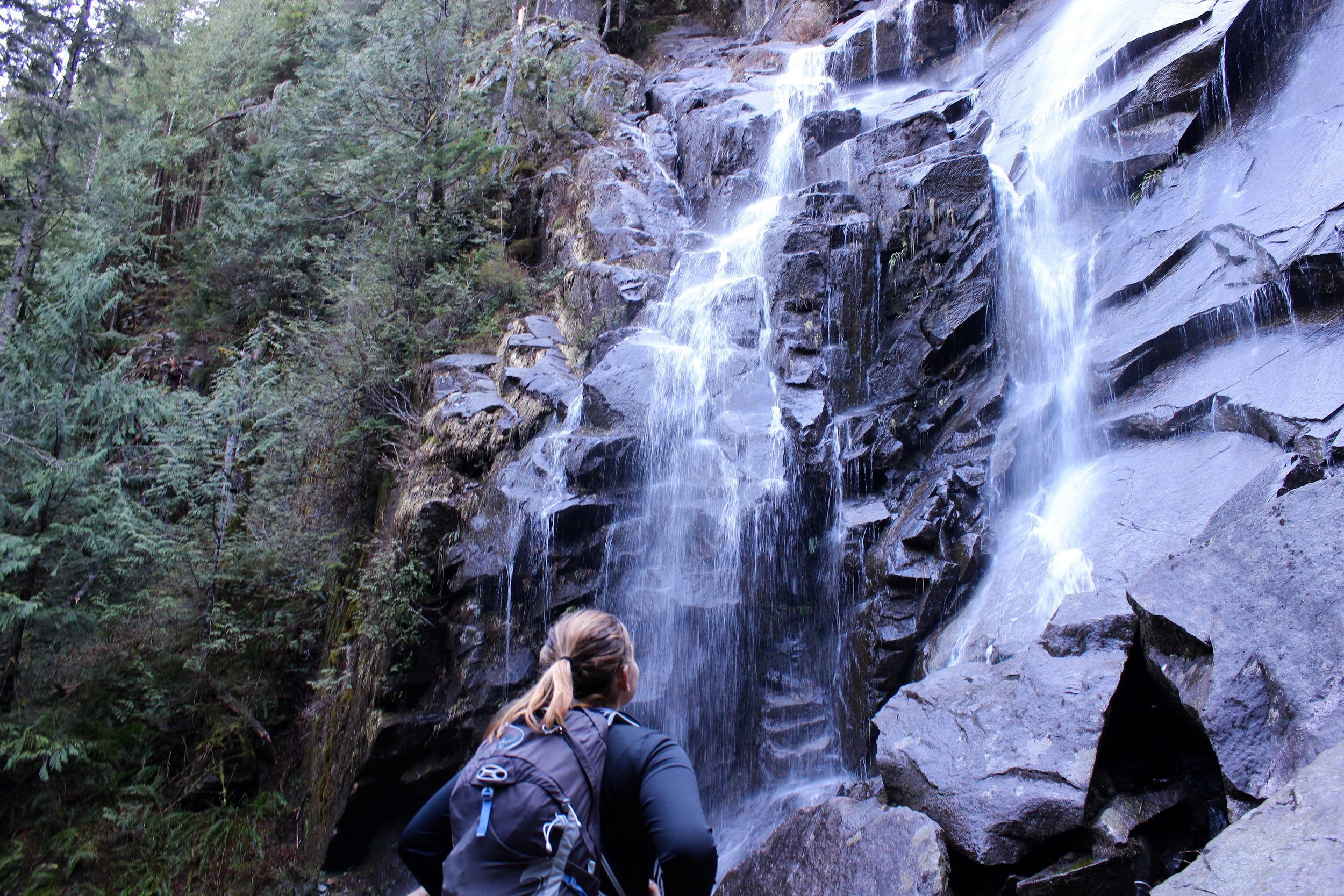
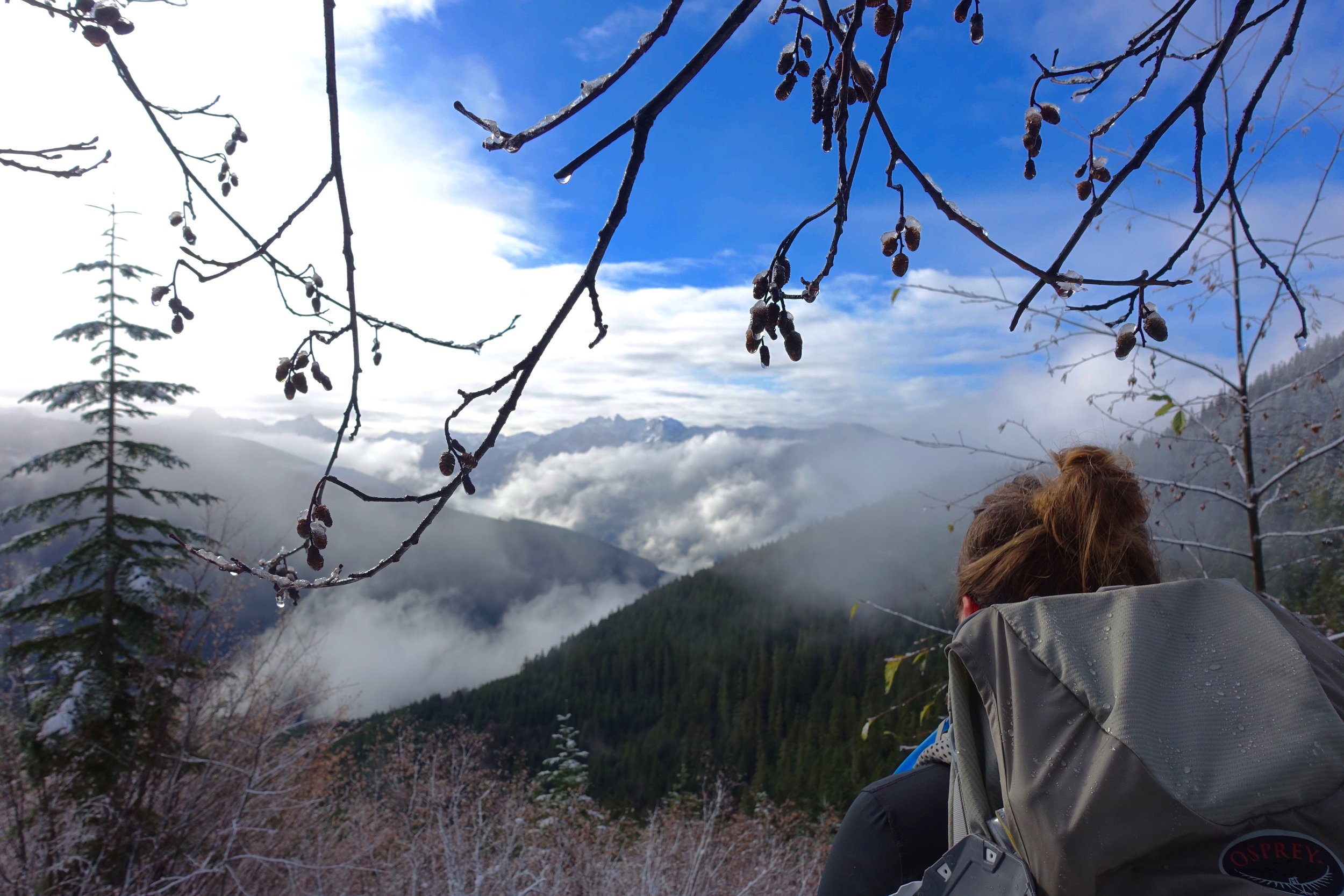
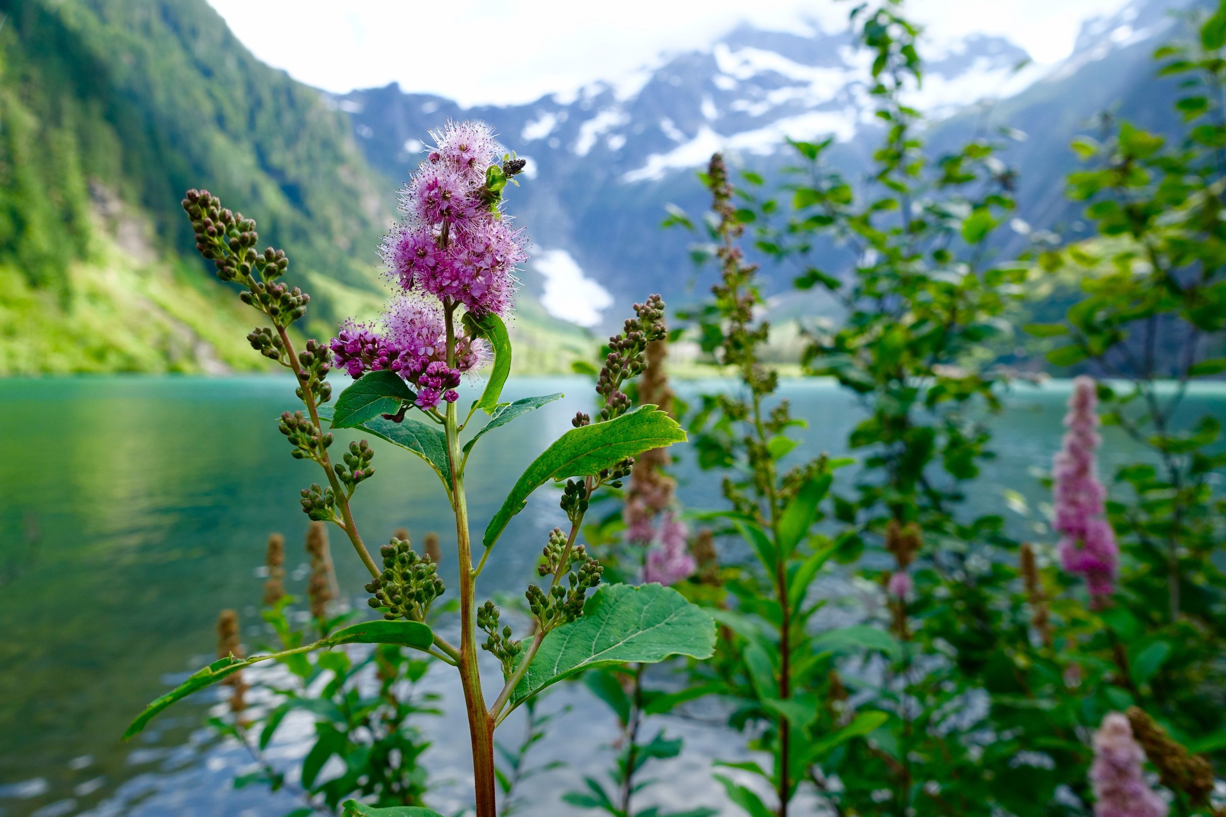
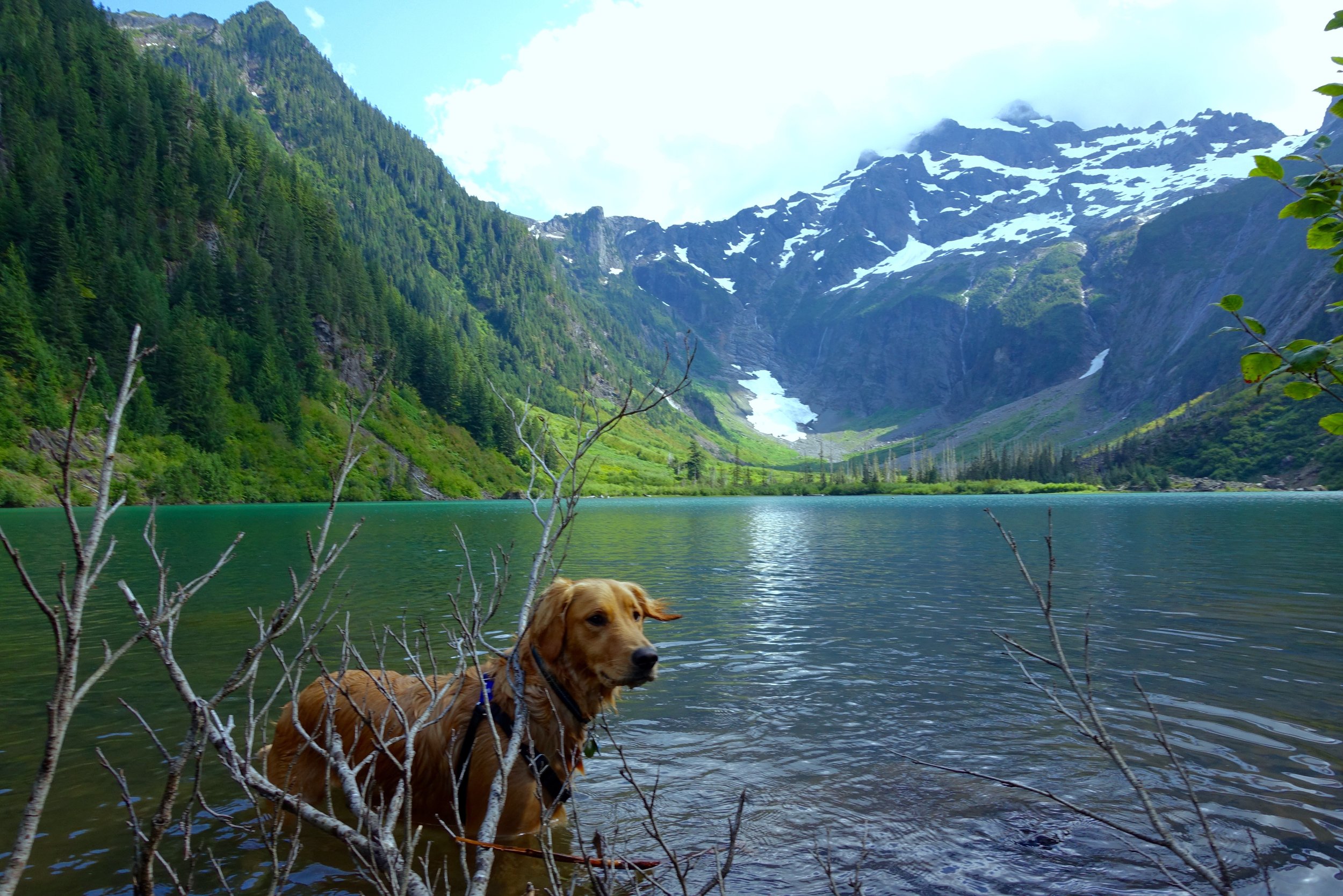
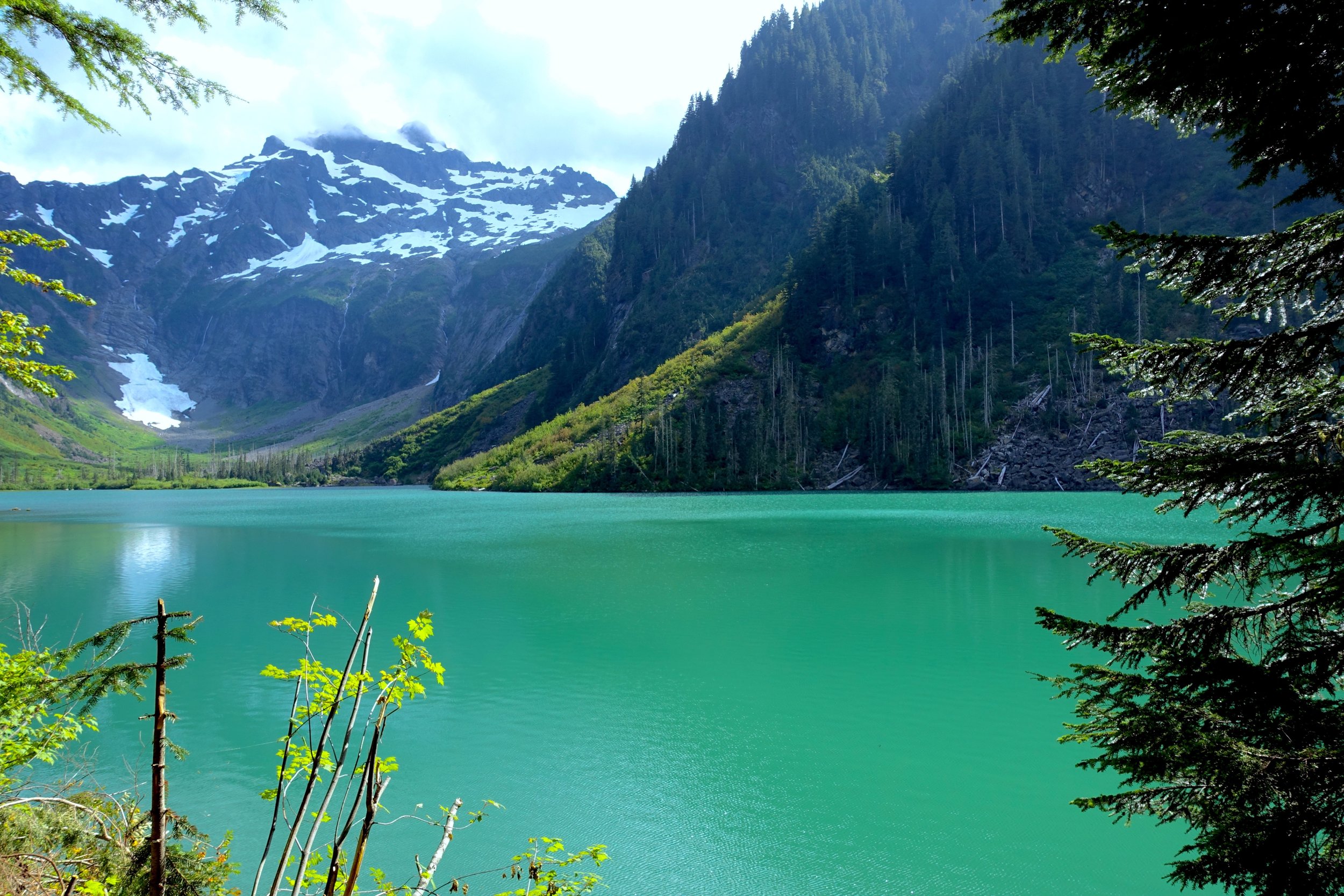
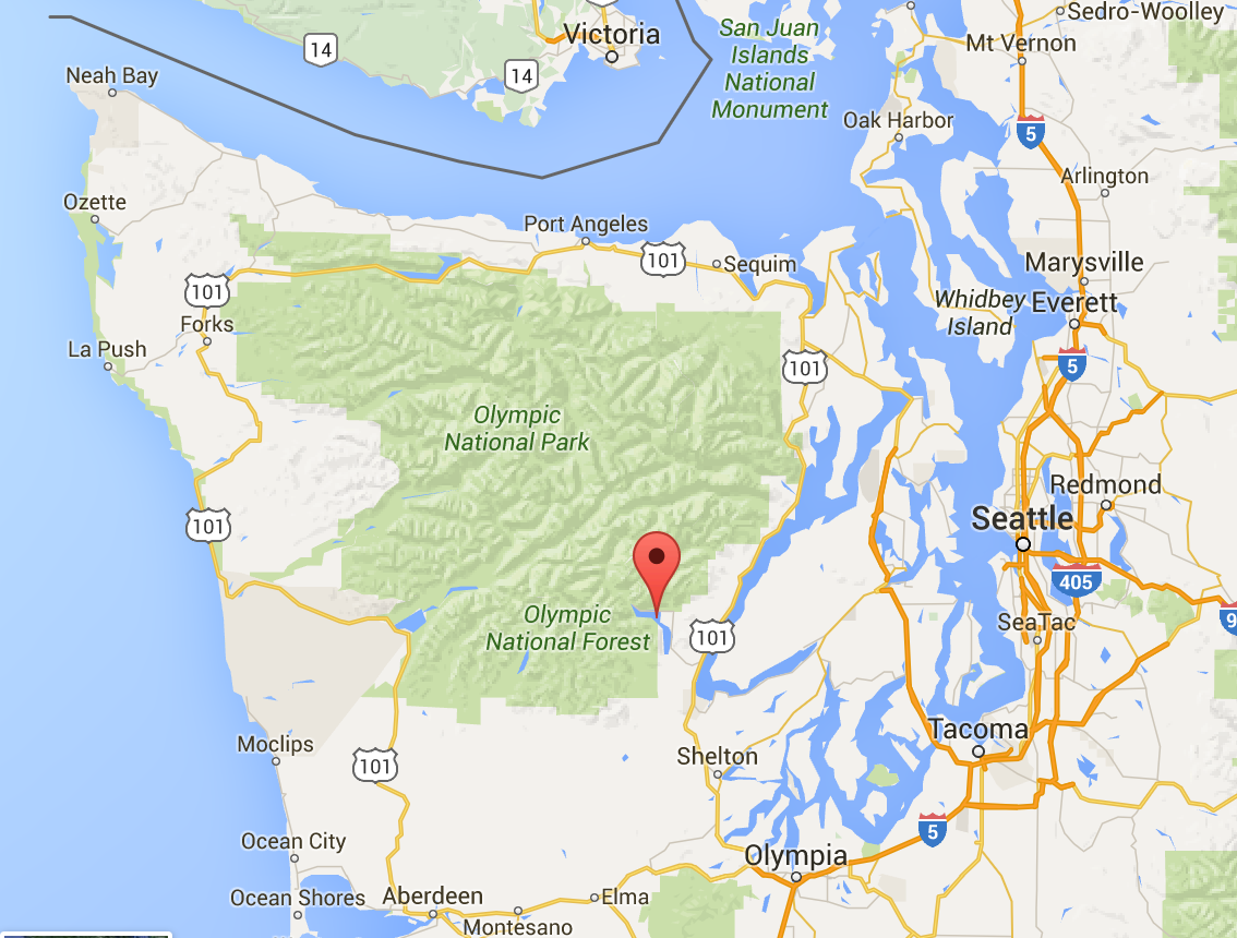 I wanted to see a different part of Olympic National Park then I had seen before, so I suggested we head over to the Lake Cushman area (indicated by the drop point above). You have to go down and around the water and go back up north to get to this area of the peninsula. It takes just a little over 2 hours from Seattle. So myself and two friends (Dorris & Amy) headed out bright and early to make this trek.